Appendix
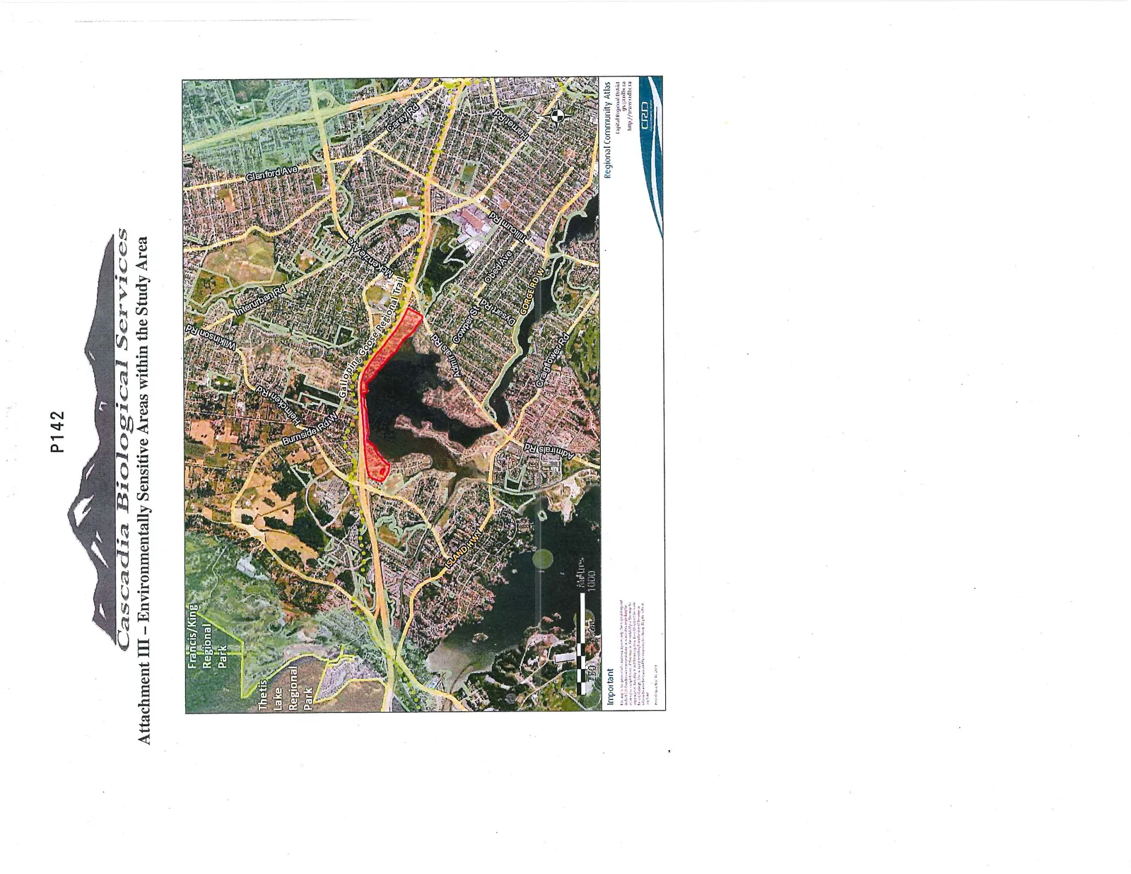
Attachment III - Environmentally Sensitive Areas within the Study Area
March 3, 2015Page 1461 section
A regional map indicating environmentally sensitive areas, parks, and water bodies in the vicinity of the study property.
P142Regional Community Atlas
Cascadia Biological Services
Attachment III – Environmentally Sensitive Areas within the Study Area
Important This map is for general planning purposes only. Every effort has been made to ensure accuracy of the information; however, the Capital Regional District cannot guarantee its accuracy. Users should not rely on this map as being precise. The CRD is not responsible for any loss or damage arising from the use of this information. For exact boundary information, consult the legal registry.
Regional Community Atlas Capital Regional District gis@crd.bc.ca http://www.crd.bc.ca
Page 146
Extracted from: 2015 03 03 Council Agenda