This site is in beta — data may be incomplete and features are still being added.
Council Meeting/Documents/Attachment IV - Typical Site Pictures
Appendix

Attachment IV - Typical Site Pictures

March 3, 2015Pages 147–1531 section

A collection of photographs documenting the landscape, marine foreshore, and vegetation at 25 Stillwater Road.

1 CALL TO ORDER
Plate #1 - marine foreshorePlate #2 - backyard adjacent to 15m development permit areaPlate #3 - isolated Garry oakP143-P149

Attachment IV – Typical Site Pictures

Plate #1 - Typical view of the marine foreshore extending into the property

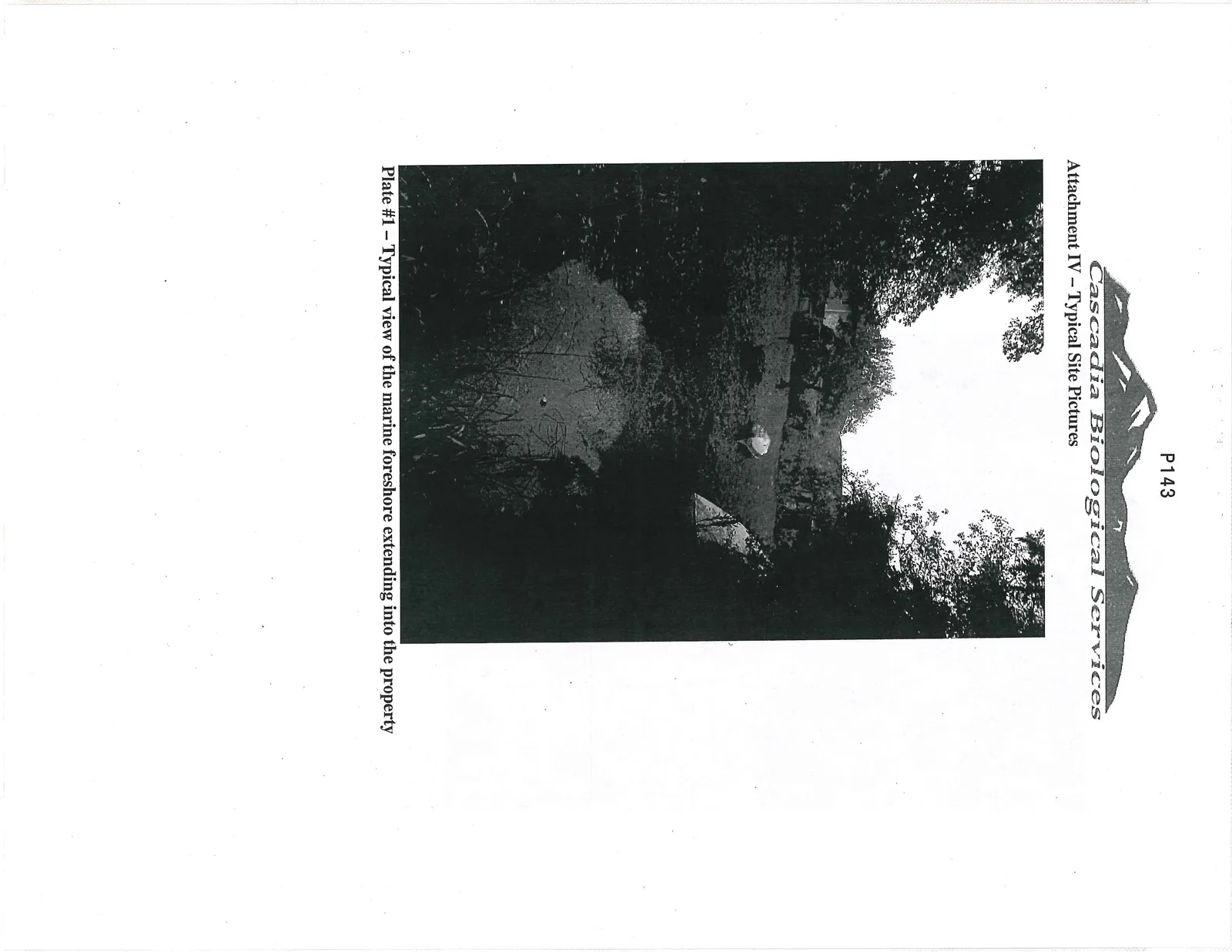
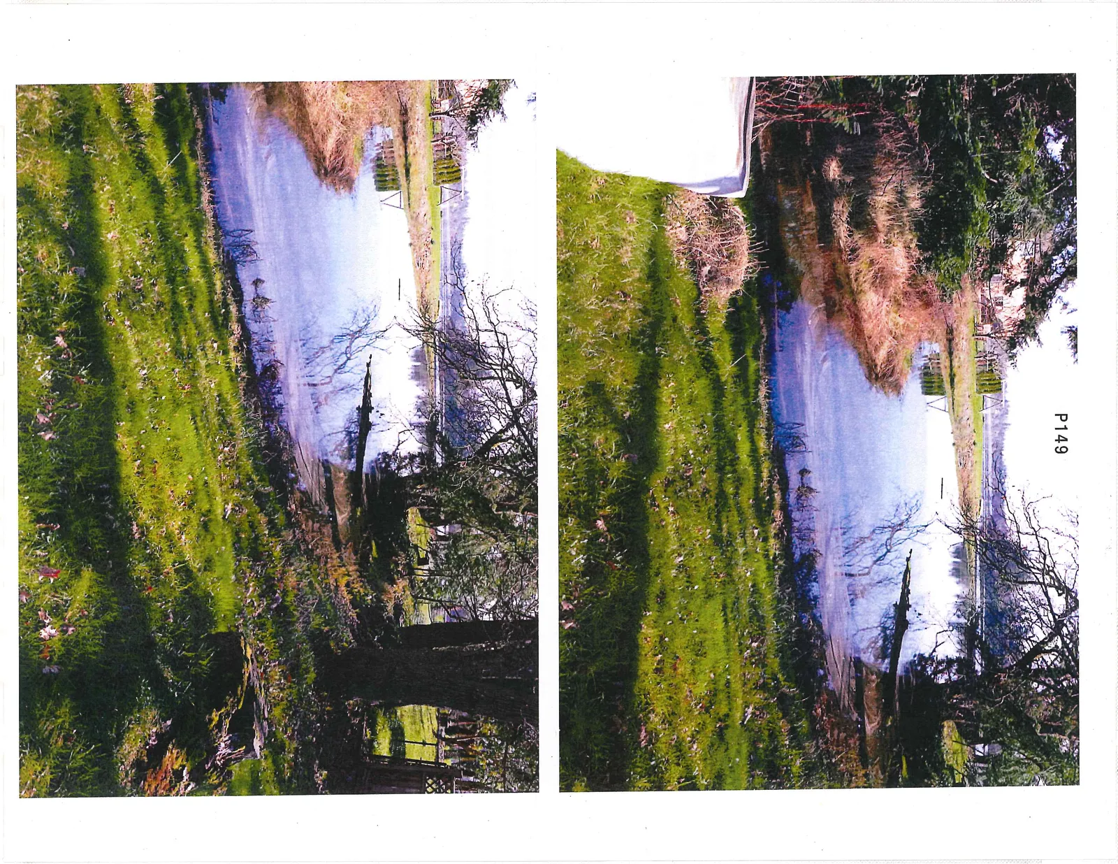
Plate #1 – Typical view of the marine foreshore extending into the property

Plate #2 - Typical view of the backyard adjacent to the 15m marine development permit area

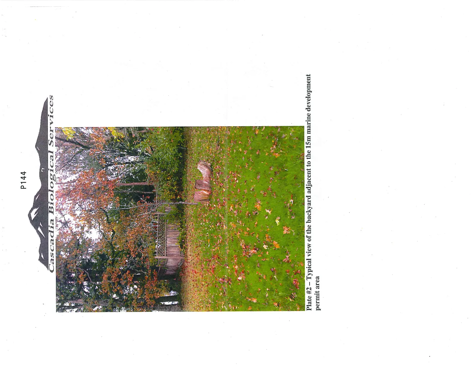
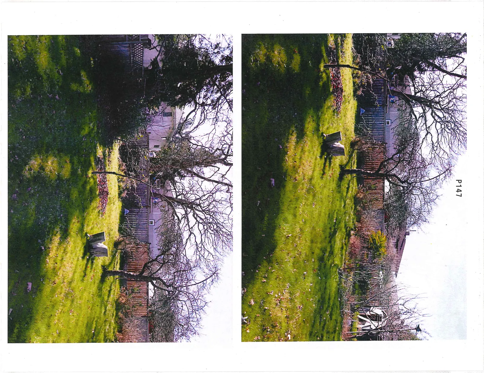
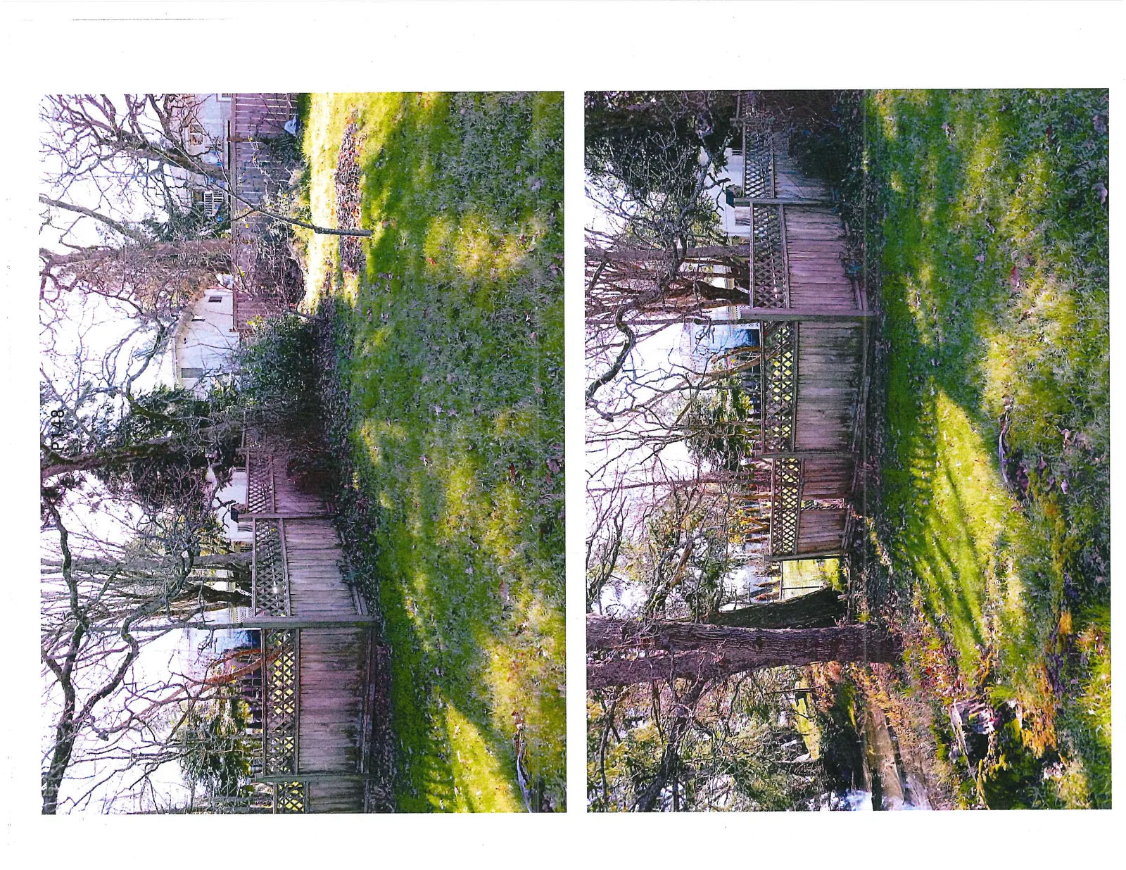
Plate #2 – Typical view of the backyard adjacent to the 15m marine development permit area

Plate #3 - Typical view of the front yard vegetation including an isolated Garry oak

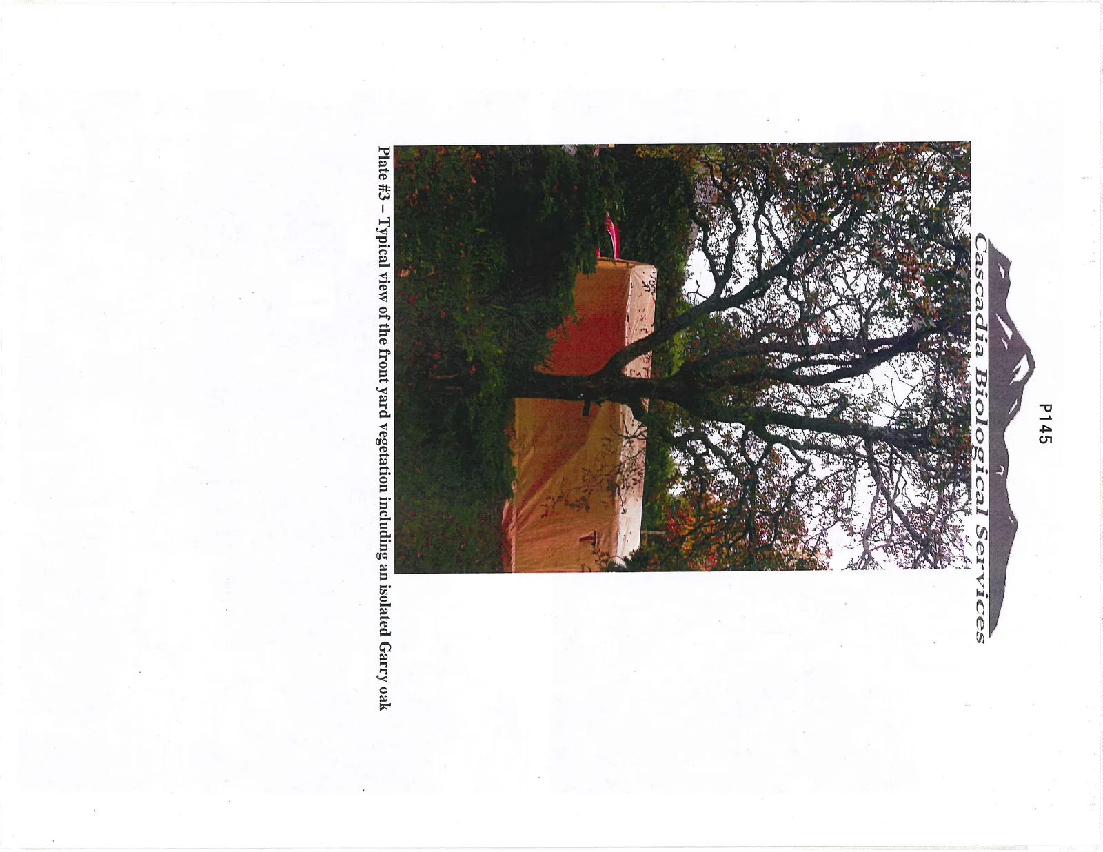
Plate #3 – Typical view of the front yard vegetation including an isolated Garry oak

Upper photo - view of a lawn and a house with large architectural windows
Lower photo - view of a backyard garden area and a shed covered with a blue tarp
Upper photo - view of a backyard lawn featuring two tree stumps and garden area
Lower photo - view of the backyard lawn looking towards the property boundary and neighboring houses
Page 147–153
Extracted from: 2015 03 03 Council Agenda