Appendix
Attachment IV – Rare Element Occurrence Map
March 3, 2015Page 1931 section
A regional map indicating known occurrences of rare biological elements in the vicinity of the project site.
Cascadia Biological Services
Attachment IV – Rare Element Occurrence Map
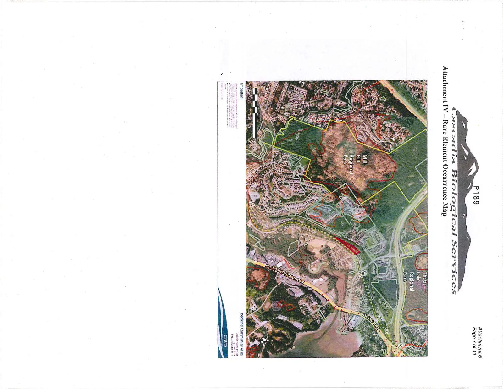
Important This map is for general information purposes only. The Capital Regional District (CRD) makes no representation as to the accuracy, reliability, or completeness of the map or the information contained within it. The user assumes all risk for any decision or action resulting from the use of this map or information. Information contained on this map is subject to change without notice.
Regional Community Atlas Capital Regional District gis.crd.bc.ca http://www.crd.bc.ca
Page 193
Extracted from: 2015 03 03 Council Agenda