Appendix
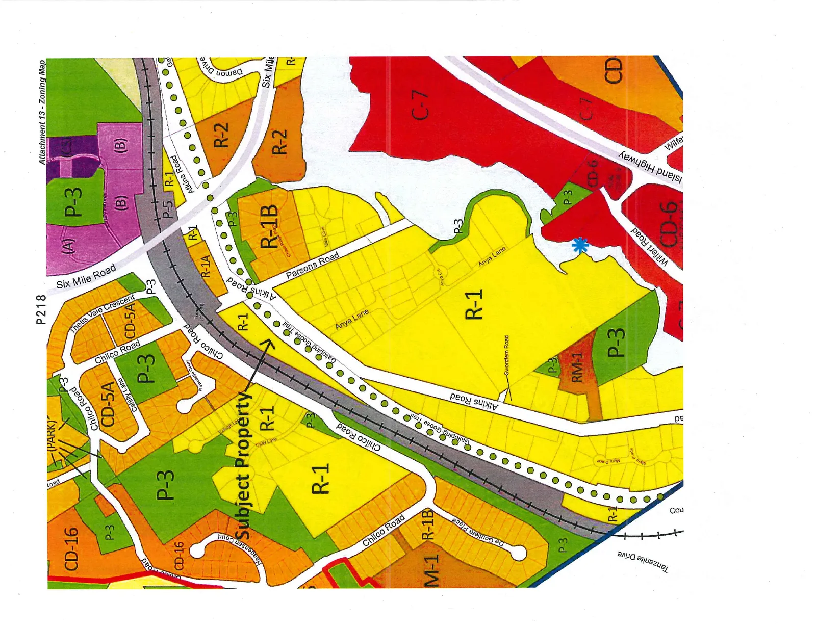
Attachment 13 - Zoning Map
March 3, 2015Page 2221 section
A map illustrating current and proposed zoning designations for the subject property at 102 Atkins Road and surrounding areas.
102 Atkins RoadZoning designations include R-1, R-1B, and P-3
Attachment 13 - Zoning Map
Page 222
Extracted from: 2015 03 03 Council Agenda