Island Tides: Site C Dam approval: environmental factors, challenges
An article detailing environmental risks of Site C, including changes to the Agricultural Land Reserve and seismic risks from fracking.
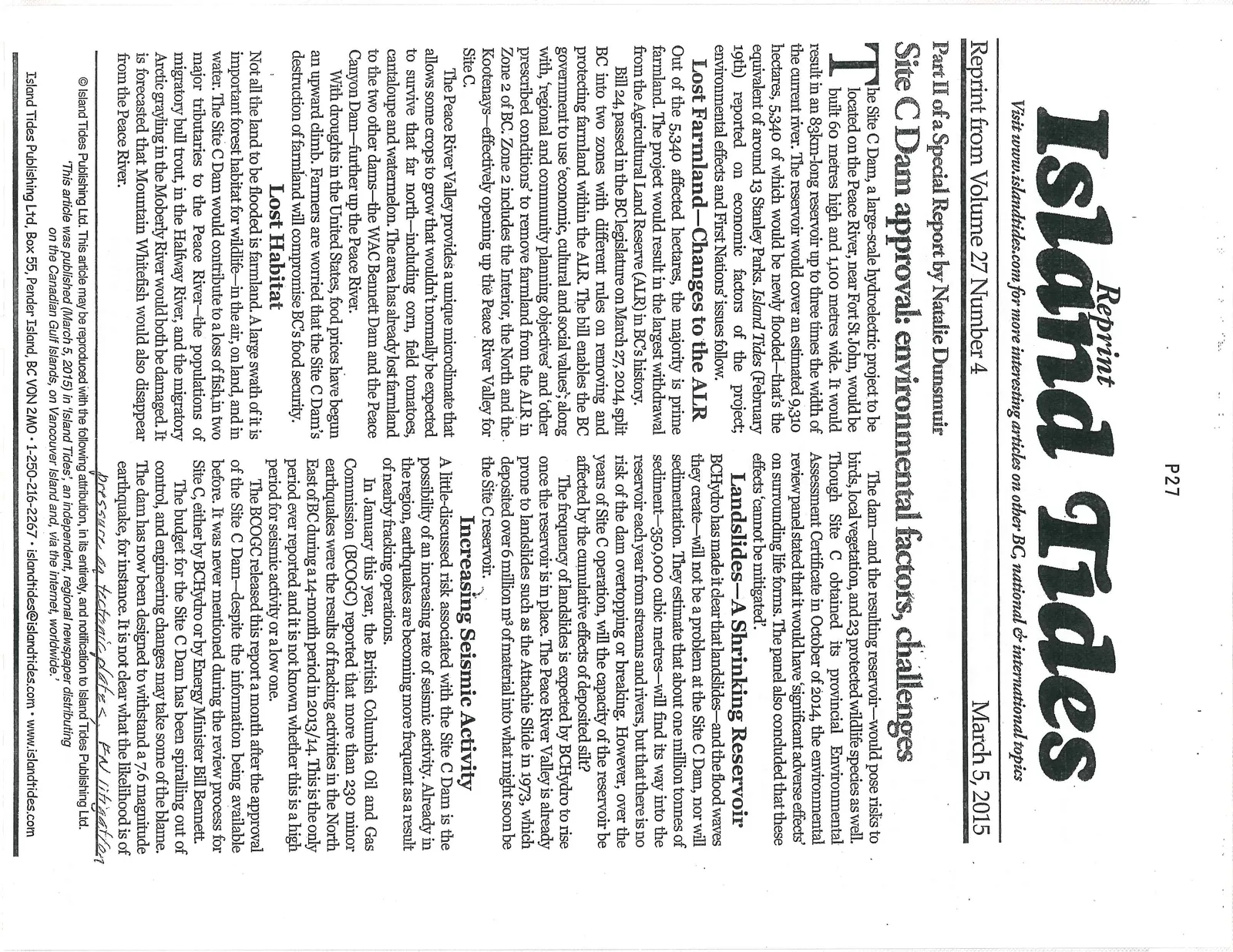
Site C Dam approval: environmental factors, challenges
Part II of a Special Report by Natalie Dunsmuir
March 5, 2015
The Site C Dam, a large-scale hydroelectric project to be located on the Peace River, near Fort St John, would be built 60 metres high and 1,100 metres wide. It would result in an 83km-long reservoir up to three times the width of the current river. The reservoir would cover an estimated 9,310 hectares, 5,340 of which would be newly flooded—that’s the equivalent of around 13 Stanley Parks. Island Tides (February 19th) reported on economic factors of the project; environmental effects and First Nations’ issues follow.
Lost Farmland—Changes to the ALR
Out of the 5,340 affected hectares, the majority is prime farmland. The project would result in the largest withdrawal from the Agricultural Land Reserve (ALR) in BC’s history.
Bill 24, passed in the BC legislature on March 27, 2014, split BC into two zones with different rules on removing and protecting farmland within the ALR. The bill enables the BC government to use ‘economic, cultural and social values’; along with, ‘regional and community planning objectives’ and ‘other prescribed conditions’ to remove farmland from the ALR in Zone 2 of BC. Zone 2 includes the Interior, the North and the Kootenays—effectively opening up the Peace River Valley for Site C.
The Peace River Valley provides a unique microclimate that allows some crops to grow that wouldn’t normally be expected to survive that far north—including corn, field tomatoes, cantaloupe and watermelon. The area has already lost farmland to the two other dams—the WAC Bennett Dam and the Peace Canyon Dam—further up the Peace River.
With droughts in the United States, food prices have begun an upward climb. Farmers are worried that the Site C Dam’s destruction of farmland will compromise BC’s food security.
Lost Habitat
Not all the land to be flooded is farmland. A large swath of it is important forest habitat for wildlife—in the air, on land, and in water. The Site C Dam would contribute to a loss of fish in two major tributaries to the Peace River—the populations of migratory bull trout, in the Halfway River, and the migratory Arctic grayling in the Moberly River would both be damaged. It is forecasted that Mountain Whitefish would also disappear from the Peace River.
The dam—and the resulting reservoir—would pose risks to birds, local vegetation, and 23 protected wildlife species as well. Though Site C obtained its provincial Environmental Assessment Certificate in October of 2014, the environmental review panel stated that it would have ‘significant adverse effects’ on surrounding life forms. The panel also concluded that these effects ‘cannot be mitigated’.
Landslides—A Shrinking Reservoir
BCHydro has made it clear that landslides—and the flood waves they create—will not be a problem at the Site C Dam, nor will sedimentation. They estimate that about one million tonnes of sediment—350,000 cubic metres—will find its way into the reservoir each year from streams and rivers, but that there is no risk of the dam overtopping or breaking. However, over the years of Site C operation, will the capacity of the reservoir be affected by the cumulative effects of deposited silt?
The frequency of landslides is expected by BCHydro to rise once the reservoir is in place. The Peace River Valley is already prone to landslides such as the Attachie Slide in 1973, which deposited over 6 million m³ of material into what might soon be the Site C reservoir.
Increasing Seismic Activity
A little-discussed risk associated with the Site C Dam is the possibility of an increasing rate of seismic activity. Already in the region, earthquakes are becoming more frequent as a result of nearby fracking operations.
In January this year, the British Columbia Oil and Gas Commission (BCOGC) reported that more than 230 minor earthquakes were the results of fracking activities in the North East of BC during a 14-month period in 2013/14. This is the only period ever reported and it is not known whether this is a high period for seismic activity or a low one.
The BCOGC released this report a month after the approval of the Site C Dam—despite the information being available before. It was never mentioned during the review process for Site C, either by BCHydro or by Energy Minister Bill Bennett.
The budget for the Site C Dam has been spiralling out of control, and engineering changes may take some of the blame. The dam has now been designed to withstand a 7.6 magnitude earthquake, for instance. It is not clear what the likelihood is of such a quake happening in the region.
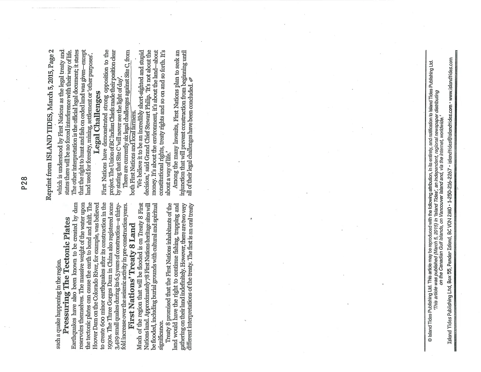
Pressuring The Tectonic Plates
Earthquakes have also been known to be created by dam reservoirs themselves. The massive weight of the water upon the tectonic plates can cause the earth to bend and shift. The Hoover Dam on the Colorado River, for example, was believed to create 600 minor earthquakes after its construction in the 1930s. The Three Gorges Dam in China also registered some 3,429 small quakes during its 6.5 years of construction—a thirty-fold increase over the seismic activity in pre-construction years.
First Nations’ Treaty 8 Land
Much of the region that will be flooded is on Treaty 8 First Nations land. Approximately 78 First Nations heritage sites will be flooded, including burial grounds with cultural and spiritual significance.
Treaty 8 promised that the First Nations inhabitants of the land would have the right to continue fishing, trapping and gathering on their land indefinitely. However, there are two very different interpretations of the treaty. The first is an oral treaty which is understood by First Nations as the legal treaty and states there will be no forced interference with their way of life. The other interpretation is the official legal document; it states that the right to hunt and fish on ceded land was given—except land used for forestry, mining, settlement or ‘other purposes’.
Legal Challenges
First Nations have demonstrated strong opposition to the project. The Union of BC Indian Chiefs made their position clear by stating that Site C ‘will never see the light of day’.
There are currently six legal challenges against Site C, from both First Nations and local farmers.
‘We believe it to be an incredibly short-sighted and stupid decision,’ said Grand Chief Stewart Phillip. ‘It’s not about the money. It’s about the environment, it’s about the land—about constitutional rights, treaty rights and so on and so forth. It’s about a way of life.’
Among the many lawsuits, First Nations plan to seek an injunction that will prevent construction from beginning until all of their legal challenges have been concluded.
Document Images
(2)