This site is in beta — data may be incomplete and features are still being added.
Council Meeting/Documents/SCHEDULE 'A' TO BYLAW NO. 922, 2015
Appendix

SCHEDULE 'A' TO BYLAW NO. 922, 2015

April 21, 2015Page 791 section

A map showing the specific location of the road being renamed to Fagan Place.

Intersection of Chilco Road and Atkins Road

P75 SCHEDULE ‘A’ TO BYLAW NO. 922, 2015
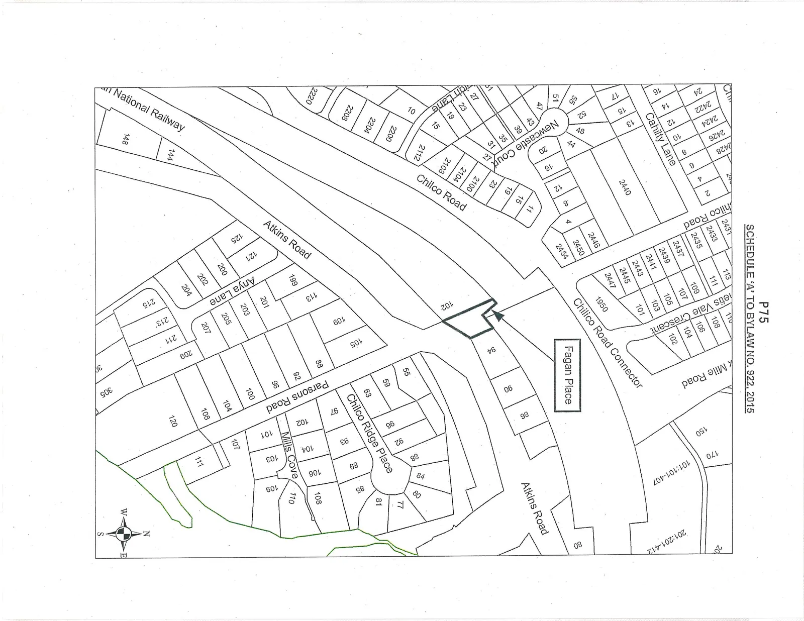
A cadastral map illustrating property boundaries and lot numbers for an area including Atkins Road, Chilco Road, Fagan Place, and Parsons Road. A specific parcel of land, identified with the number 102, is highlighted with a bold black outline at the intersection of Atkins Road and what appears to be a proposed extension or connector near Fagan Place.
Page 79
Extracted from: 2015 04 21 Council Agenda