This site is in beta — data may be incomplete and features are still being added.
Council Meeting/Documents/Subject Property Orthophoto - 77 Caton Pl
Appendix

Subject Property Orthophoto - 77 Caton Pl

February 17, 2015Page 321 section

Aerial photograph with property boundaries overlaid for 77 Caton Place.

8.1.a Environmental Development Permit with Variances No. 2014/08 - 77 Caton Place
Shows proximity to Craigflower Creek

77 Caton Pl

Subject Property Orthophoto
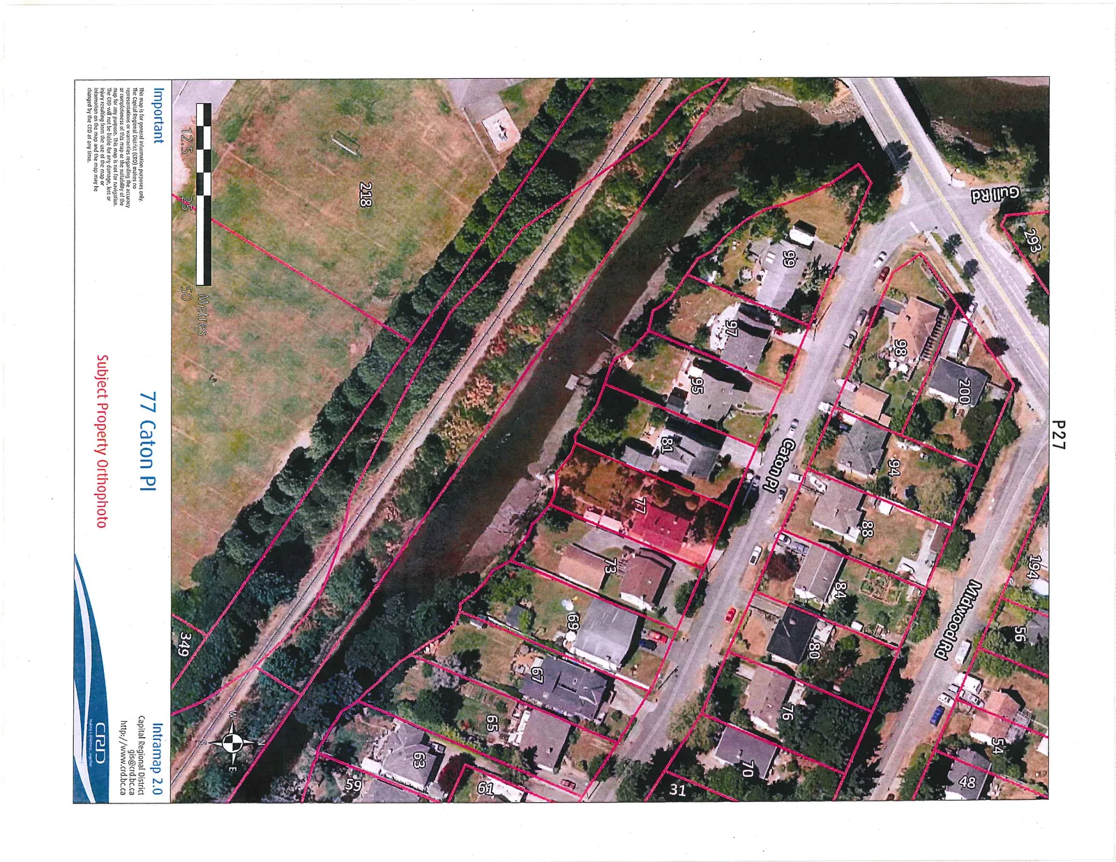
Orthophoto map showing the subject property at 77 Caton Pl highlighted in red. The map displays surrounding property boundaries and addresses along Caton Pl, Midwood Rd, and Gull Rd. A waterway and large green space (parcel 218) are visible to the south and west of the residential properties.

Important This map is for general information purposes only. The Capital Regional District (CRD) makes no representations or warranties regarding the accuracy or completeness of this map or the suitability of the map for any purpose. This map is not for navigation. The CRD will not be liable for any damage, loss or injury resulting from the use of the map or information on the map and the map may be changed by the CRD at any time.

Page 32
Extracted from: 2015 02 17 Council Agenda