This site is in beta — data may be incomplete and features are still being added.
Council Meeting/Documents/Numbered Aerial Map
Appendix

Numbered Aerial Map

October 20, 2015Page 421 section

Aerial map view with house numbers superimposed to identify surrounding properties.

1 CALL TO ORDER 1.
Highlights lots 301, 303, 305, 307, 309.

Aerial Map
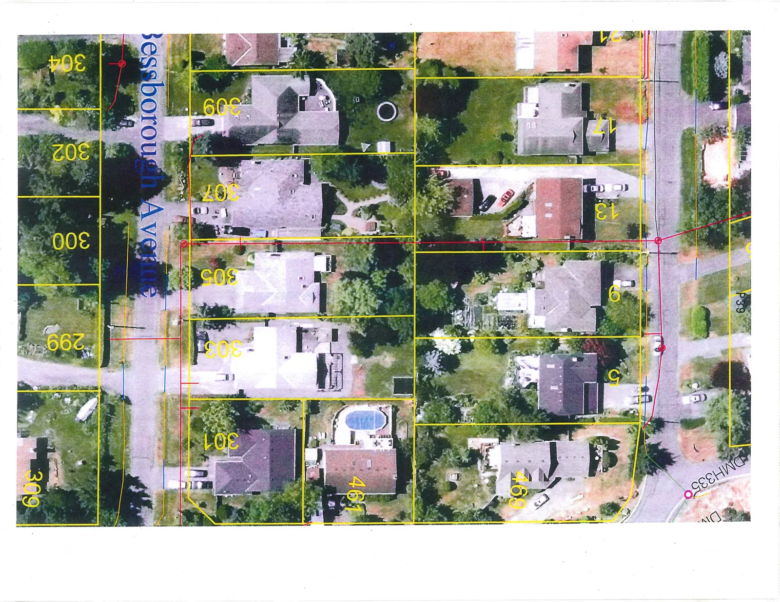
Aerial photograph of a residential neighborhood showing property parcel boundaries in yellow, utility lines in red and blue, and house numbers. The main street shown is Bessborough Avenue.

Visible Labels and House Numbers:

  • Bessborough Avenue
  • 5
  • 9
  • 13
  • 17
  • 21
  • 299
  • 300
  • 301
  • 302
  • 303
  • 304
  • 305
  • 307
  • 309
  • 461
  • 469
  • DMH335
  • P39
  • Div.
Page 42
Extracted from: 2015 10 20 Council Agenda