DPA Guidelines Review Checklist - 263 View Royal Avenue
Staff evaluation against General, Shoreline, and Wildland/Urban Interface DPA guidelines.
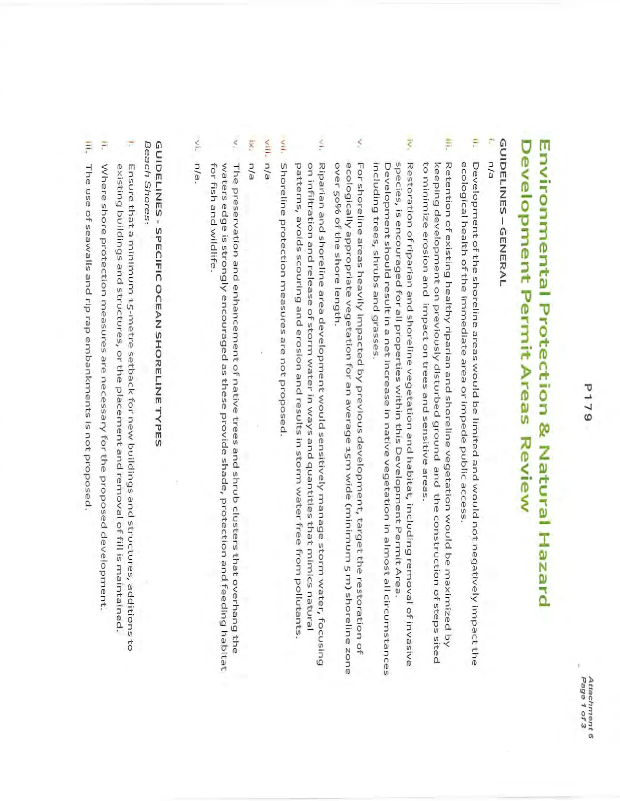
Environmental Protection & Natural Hazard Development Permit Areas Review
GUIDELINES – GENERAL
i. n/a ii. Development of the shoreline areas would be limited and would not negatively impact the ecological health of the immediate area or impede public access. iii. Retention of existing healthy riparian and shoreline vegetation would be maximized by keeping development on previously disturbed ground and the construction of steps sited to minimize erosion and impact on trees and sensitive areas. iv. Restoration of riparian and shoreline vegetation and habitat, including removal of invasive species, is encouraged for all properties within this Development Permit Area. Development should result in a net increase in native vegetation in almost all circumstances including trees, shrubs and grasses. v. For shoreline areas heavily impacted by previous development, target the restoration of ecologically appropriate vegetation for an average 15m wide (minimum 5 m) shoreline zone over 50% of the shoreline length. vi. Riparian and shoreline area development would sensitively manage storm water, focusing on infiltration and release of storm water in ways and quantities that mimics natural patterns, avoids scouring and erosion and results in storm water free from pollutants. vii. Shoreline protection measures are not proposed. viii. n/a ix. n/a v. The preservation and enhancement of native trees and shrub clusters that overhang the waters edge is strongly encouraged as these provide shade, protection and feeding habitat for fish and wildlife. vi. n/a.
GUIDELINES - SPECIFIC OCEAN SHORELINE TYPES
Beach Shores:
i. Ensure that a minimum 15-metre setback for new buildings and structures, additions to existing buildings and structures, or the placement and removal of fill is maintained. ii. Where shore protection measures are necessary for the proposed development. iii. The use of seawalls and rip rap embankments is not proposed.
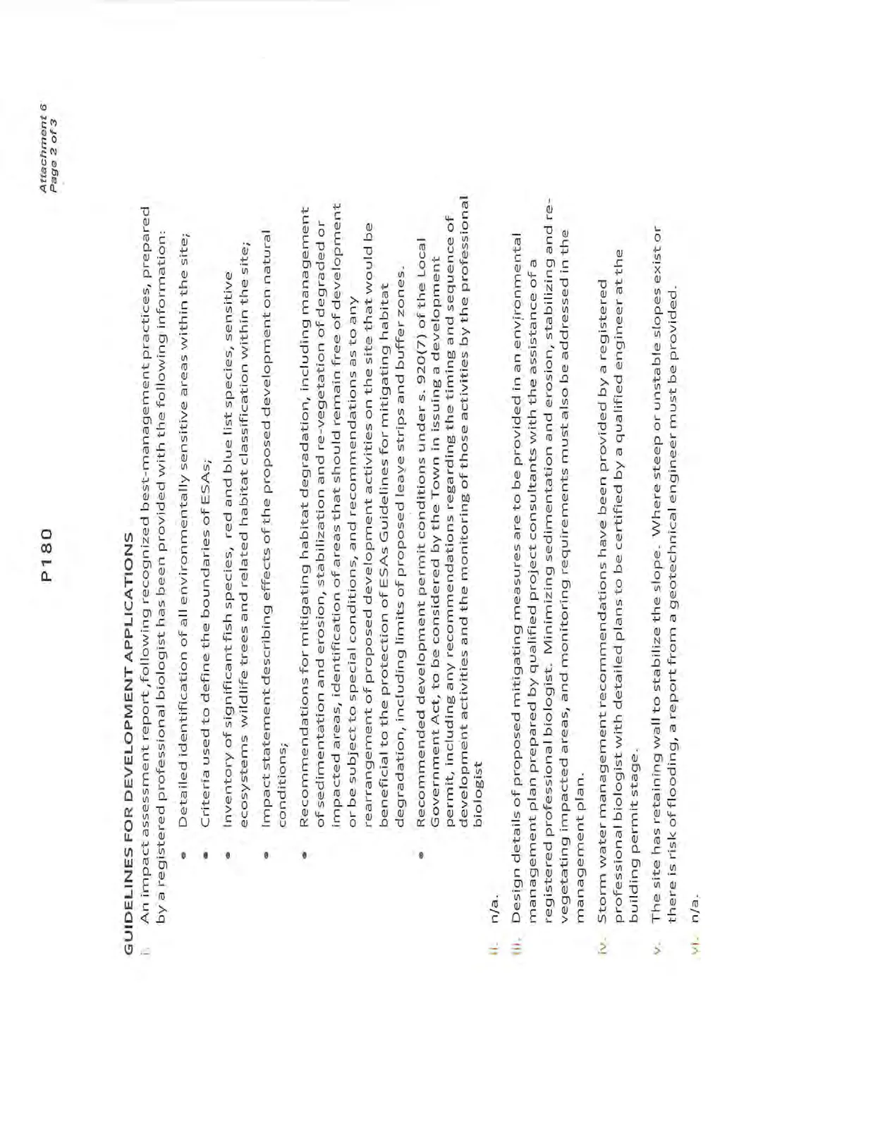
GUIDELINES FOR DEVELOPMENT APPLICATIONS
i. An impact assessment report, following recognized best-management practices, prepared by a registered professional biologist has been provided with the following information:
- Detailed identification of all environmentally sensitive areas within the site;
- Criteria used to define the boundaries of ESAs;
- Inventory of significant fish species, red and blue list species, sensitive ecosystems wildlife trees and related habitat classification within the site;
- Impact statement describing effects of the proposed development on natural conditions;
- Recommendations for mitigating habitat degradation, including management of sedimentation and erosion, stabilization and re-vegetation of degraded or impacted areas, identification of areas that should remain free of development or be subject to special conditions, and recommendations as to any rearrangement of proposed development activities on the site that would be beneficial to the protection of ESAs Guidelines for mitigating habitat degradation, including limits of proposed leave strips and buffer zones.
- Recommended development permit conditions under s. 920(7) of the Local Government Act, to be considered by the Town in issuing a development permit, including any recommendations regarding the timing and sequence of development activities and the monitoring of those activities by the professional biologist ii. n/a. iii. Design details of proposed mitigating measures are to be provided in an environmental management plan prepared by qualified project consultants with the assistance of a registered professional biologist. Minimizing sedimentation and erosion, stabilizing and re-vegetating impacted areas, and monitoring requirements must also be addressed in the management plan. iv. Storm water management recommendations have been provided by a registered professional biologist with detailed plans to be certified by a qualified engineer at the building permit stage. v. The site has retaining wall to stabilize the slope. Where steep or unstable slopes exist or there is risk of flooding, a report from a geotechnical engineer must be provided. vi. n/a.
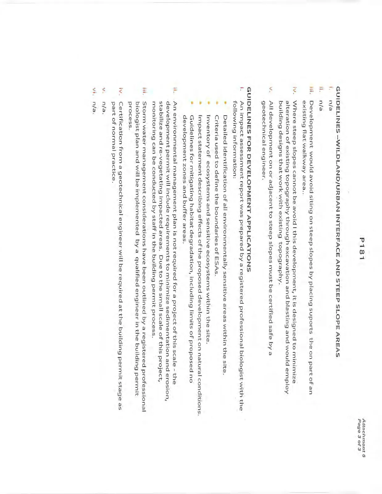
GUIDELINES – WILDLAND/URBAN INTERFACE AND STEEP SLOPE AREAS
i. n/a ii. n/a iii. Development would avoid siting on steep slopes by placing suports the on part of an existing flat walkway area.. iv. Where steep slopes cannot be avoid I this development, it is designed to minimize alteration of existing topography through excavation and blasting and would employ building designs that work with existing topography. v. All development on or adjacent to steep slopes must be certified safe by a geotechnical engineer.
GUIDELINES FOR DEVELOPMENT APPLICATIONS
i. An impact assessment report was prepared by a registered professional biologist with the following information:
- Detailed identification of all environmentally sensitive areas within the site.
- Criteria used to define the boundaries of ESAs.
- Inventory of ecosystems and sensitive ecosystems within the site.
- Impact statement describing effects of the proposed development on natural conditions.
- Guidelines for mitigating habitat degradation, including limits of proposed no development zones and buffer areas. ii. An environmental management plan is not required for a project of this scale - the development permit will include requirements to minimize sedimentation and erosion, stabilize and re-vegetating impacted areas. Due to the small scale of this project, monitoring can be conducted by staff in the building permit process. iii. Storm water management considerations have been outlined by a registered professional biologist plan and will be implemented by a qualified engineer in the building permit process. iv. Certification from a geotechnical engineer will be required at the building permit stage as part of normal practice. v. n/a. vi. n/a.
Document Images
(3)