Staff Report: Environmental Development Permit No. 2015/04 – 333A Stewart Avenue
Planner report recommending approval of a development permit for a new dock with a setback variance.
TOWN OF VIEW ROYAL COUNCIL REPORT
TO: Council DATE: June 10, 2015 FROM: J. Davison, MCIP RPP, Planner MEETING DATE: June 16, 2015 FILE NO.: 3060-20-2015/04
ENVIRONMENTAL DEVELOPMENT PERMIT – 333A STEWART AVE (DOCK)
RECOMMENDATION
THAT Council approve Development Permit 2015/04 as per the plans attached to the report by the Planner dated June 10, 2015;
AND THAT Development Permit 2015/04 include the following variance:
- A variance from the special setback from the natural boundary of the sea from 15m to 0m
CHIEF ADMINISTRATIVE OFFICER'S COMMENTS
I concur with the recommendation.
DIRECTOR OF DEVELOPMENT SERVICES’ COMMENTS
I concur with the recommendation.
PURPOSE OF REPORT
The purpose of this report is to present the application for an Environmental Development Permit with variance for 333A Stewart Ave to allow the construction of a dock (float, ramp, deck) extending into Esquimalt Harbour. The Environmental Development Permit addresses works within the Natural Watercourse and Shoreline Areas Development Permit Area on 15m of either side of the natural boundary to the sea. The variance is for the reduction of the setback to the natural boundary to the sea from 15m to 0m.
BACKGROUND
The applicant had previously brought an application forward to Committee of the Whole and to Council on January 13 and January 20 2015, respectively. Council had a number of concerns which the applicant has attempted to address with this re-submission. The applicant is intending to build a new wooden platform, ramp and float attached to an existing seawall. This application follows Environmental Development Permit 2011/08 which saw improvements to the property within the 15m Development Permit Area. The proposed improvements are to be attached to the existing seawall.
PROJECT INFORMATION
Proposal
The proposed dock is being considered as part of a referral process from CFB Esquimalt. The proposed works require a License of Occupation from the Department of National Defense, and under an agreement with CFB Esquimalt the Town is permitted to apply its Development Permit regulations and its Private Dock Development Guidelines in evaluating the proposed works.
The subject property is subject to a requirement to obtain a Development Permit according to the Natural Watercourse and Shoreline Development Permit Area (DPA). This DPA focuses on the protection of environmentally sensitive areas. The application is to be considered in the context of the Private Dock Development Guidelines as per agreement with CFB Esquimalt.
The applicant has submitted the following information in support of their application:
- Applicant’s Statement
- Project Sustainability Checklist
- Site Photos, Airphoto, Plan and Elevation – Bruce Wilkin Design – November 13 2014
- Environmental Impact Assessment – Gormican Environmental Services – July 24, 2007
- Letter of support, Brian Richards 335 Stewart Ave (former layout)
- Current Title
The proposed Development Permit addresses the following aspects:
- Construction of a platform, ramp and float within the Development Permit Area.
- A variance to the setback from the natural boundary to the sea from 15m to 0m.
The proposed improvements (see attached plans) include:
- A wooden platform (with stairs to the uplands) 1.6m in width (formerly between 2.5-3m in width) by approximately 9m in length, and mostly above the surveyed high water mark.
- A ramp 25.25m in length and 1.6m in width will connect to a float of 9.14m in length and 3.66m in width. The total proposed length of the ramp and float is 28.5m.
Issues and Analysis
To address Council’s concerns regarding the previous application, the applicant has made the following changes from the previous submission:
- Reduced the width of the walkway adjacent to the existing patio from 2.5-3m to 1.6m
- Engaged Wey Mayenburg Land Surveying to provide bathymetric data for the seafloor out to 4.5m in depth at an interval of 0.5m
- Lengthened the ramp to reach deeper water to ensure that the float is in deep water and would sit clear of the sea floor at all times.
- Rotated the float 90 degrees to maximize depth, minimize the projection into the harbour, and meet weather bow-on for any docked vessels.
The issue for Council to consider is whether the dock meets the Private Dock Development Guidelines, and whether the development will have an undue environmental impact within the Development Permit Area.
Environmental DP Area
The impact within the DP area for the construction of this dock should be minimal, as informed by the attached environmental assessment from Gormican Environmental Services. The immediate area around the dock is bare rock, covered sparsely with barnacles. The new works are attached to the existing concrete seawall. In the case of the wooden deck, there will be support posts which will meet the property (rock) both above and below the high water mark. While the Environmental Assessment does not specifically address the deck, there is no significantly different impact in the placement of these posts compared to the rest of the works described in the impact assessment. The dock’s anchor lines and the posts below the high water mark will be positioned in a manner which must satisfy DND and DFO. The works meet the Transport Canada Minor Works Exemption.
Private Dock Development Guidelines
The proposed dock extends 28m from where the ramp attaches to the walkway and has a float that is 9.14m (the guidelines recommend 12m or less). The proposed works meet all of the Private Dock Development Guidelines, with the exception of the length of the ramp and float together at 28.5m. It should be noted that the float is only 14m from the shoreline at the furthest point. The proposed work does not further impede traversal of the foreshore, which is difficult in this location regardless due to steep, rocky topography. It would also not unduly impede a kayaker due to the positioning in the small cove.
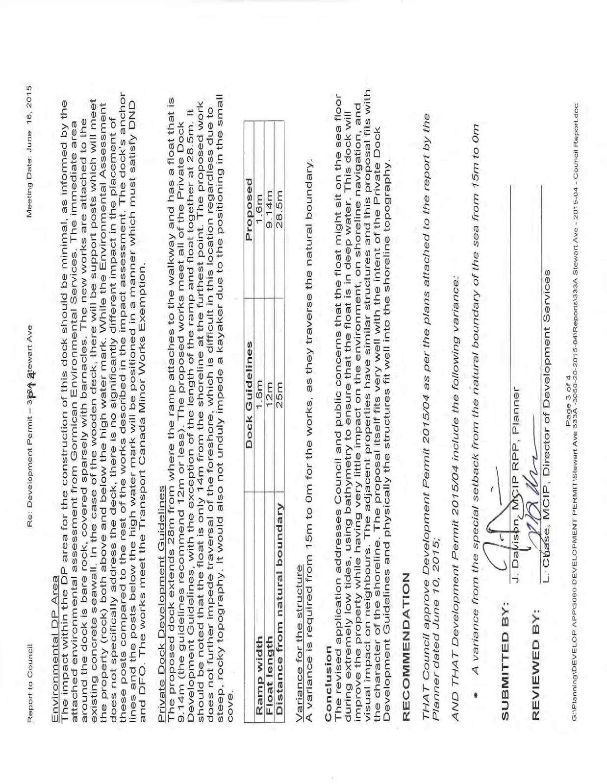
| Dock Guidelines | Proposed | |
|---|---|---|
| Ramp width | 1.6m | 1.6m |
| Float length | 12m | 9.14m |
| Distance from natural boundary | 25m | 28.5m |
Variance for the structure
A variance is required from 15m to 0m for the works, as they traverse the natural boundary.
Conclusion
The revised application addresses Council and public concerns that the float might sit on the sea floor during extremely low tides, using bathymetry to ensure that the float is in deep water. This dock will improve the property while having very little impact on the environment, on shoreline navigation, and visual impact on neighbours. The adjacent properties have similar structures and this proposal fits with the character of the shoreline. The proposal itself fits very well with the intent of the Private Dock Development Guidelines and physically the structures fit well into the shoreline topography.
RECOMMENDATION
THAT Council approve Development Permit 2015/04 as per the plans attached to the report by the Planner dated June 10, 2015;
AND THAT Development Permit 2015/04 include the following variance:
- A variance from the special setback from the natural boundary of the sea from 15m to 0m
SUBMITTED BY:
J. Davison, MCIP RPP, Planner
REVIEWED BY:
L. Chase, MCIP, Director of Development Services
ATTACHMENTS:
- Subject Property Map
- Subject Property Orthophoto
- Applicant’s Statement
- Site Plan, Elevation, Site Photo, Airphoto – Bruce Wilkin Design – November 2014
- Dock Location perspective (staff) – June 2015
- Environmental Impact Assessment – Gormican Environmental Services – July 2007
- Neighbour letter of support – Brian Richards 335 Stewart Ave (former layout)
- Site Photos - staff
- Private Dock Development Guidelines – Town of View Royal
Document Images
(4)