Appendix
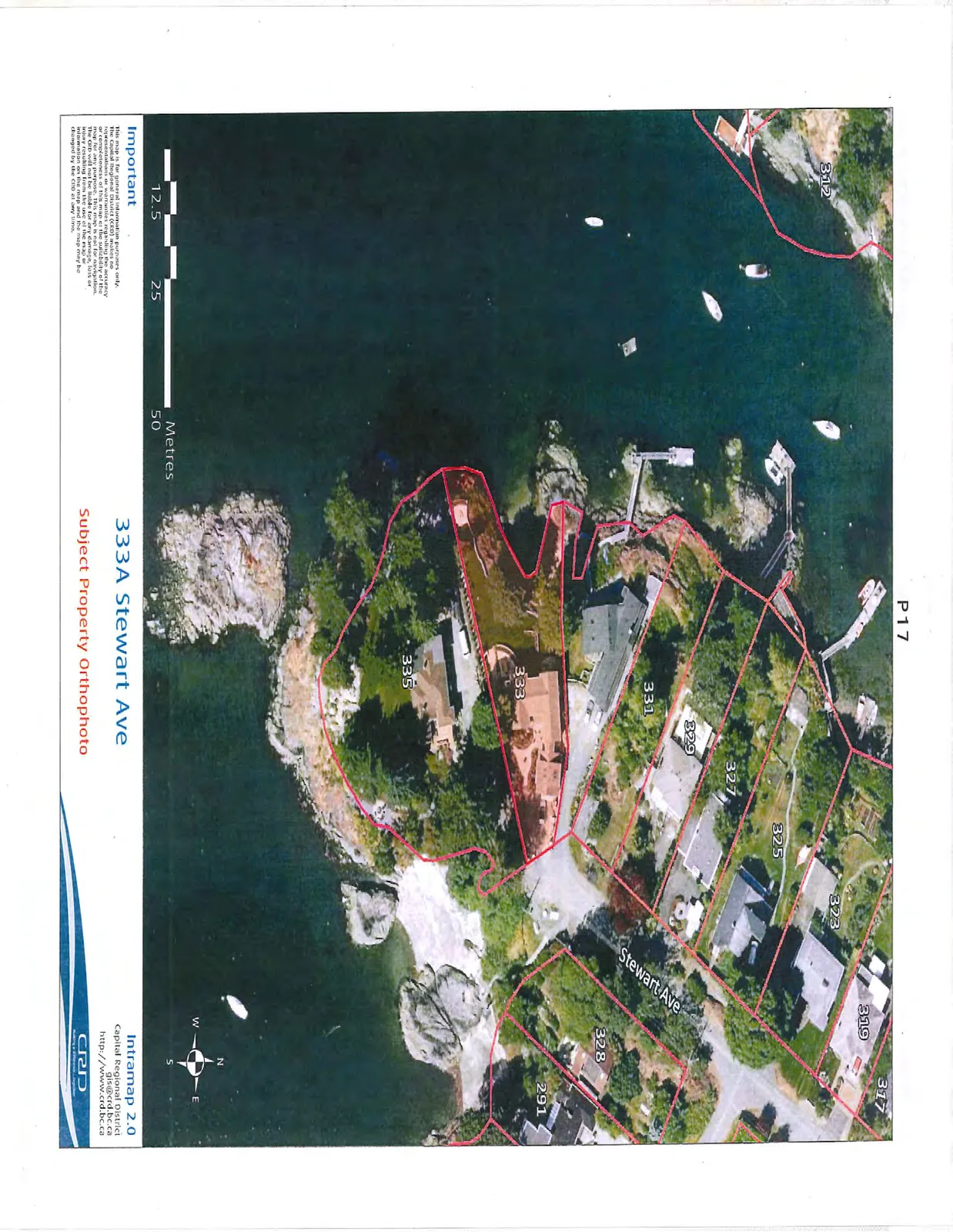
Subject Property Orthophoto - 333A Stewart Ave
June 16, 2015Page 201 section
Aerial photograph with property boundary overlay for 333A Stewart Avenue.
333A Stewart Avenue
333A Stewart Ave
Subject Property Orthophoto
Important
This map is for general information purposes only. The Capital Regional District (CRD) makes no representations or warranties regarding the accuracy or completeness of this map or the suitability of the map for any purpose. This map is not for navigation. The CRD will not be liable for any damage, loss or injury resulting from the use of the map or information on the map and the map may be changed by the CRD at any time.
Page 20
Extracted from: 2015 06 16 Council Agenda