This site is in beta — data may be incomplete and features are still being added.
Council Meeting/Documents/Proposed Dock Overlay Map - 333a Stewart Avenue
Appendix

Proposed Dock Overlay Map - 333a Stewart Avenue

June 16, 2015Page 241 section

Aerial image with the proposed dock footprint overlaid.

1. CALL TO ORDER
May 4, 2015

Proposed Dock - 333a Stewart Avenue

Sheet One of Four Date - May 4, 2015
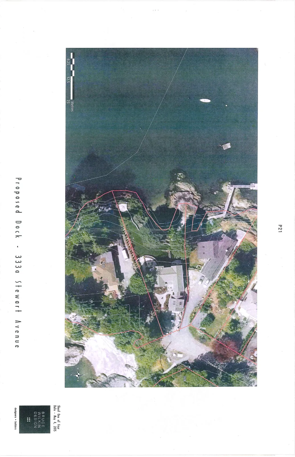
Aerial site plan showing property boundaries and existing structures for 327, 329, 331, 333, and 335 Stewart Avenue, including a proposed dock location on the shoreline.

The map includes:

  • A scale bar in Metres (6.25, 12.5, 25)
  • A compass rose
  • Labels for Stewart Ave and property numbers 327, 329, 331, 333, and 335
Page 24
Extracted from: 2015 06 16 Council Agenda