Appendix
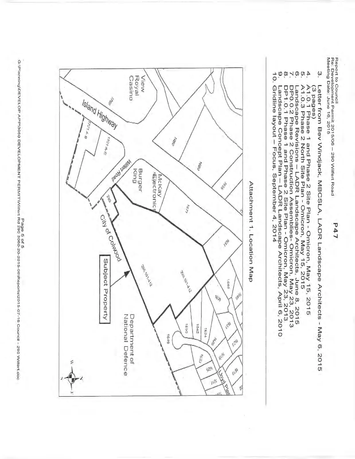
Location Map - 290 Wilfert Road
June 16, 2015Page 501 section
Property location map showing 290 Wilfert Road relative to nearby commercial sites like Burger King.
290 Wilfert Road
Report to Council
Re: Development Permit 2015/06 – 290 Wilfert Road Meeting Date: June 16, 2015
- Letter from Bev Windjack, MBCSLA, LADR Landscape Architects - May 6, 2015 (3 pages)
- A1.0.1 Phase 1 and Phase 2 Site Plan - Omicron, May 15, 2015
- A1.0.3 Phase 2 North Site Plan - Omicron, May 15, 2015
- Landscape Revisions – LADR Landscape Architects, June 8, 2015
- DP0.0.2 Phase 2 Construction Assemblies- Omicron, May 23, 2013
- DP1.0.1 Phase 1 and Phase 2 Site Plan - Omicron, May 23, 2013
- Landscape Concept Plan – LADR Landscape Architects, April 6, 2010
- Gridline layout – Focus, September 4, 2014
Attachment 1. Location Map
Page 50
Extracted from: 2015 06 16 Council Agenda