Appendix
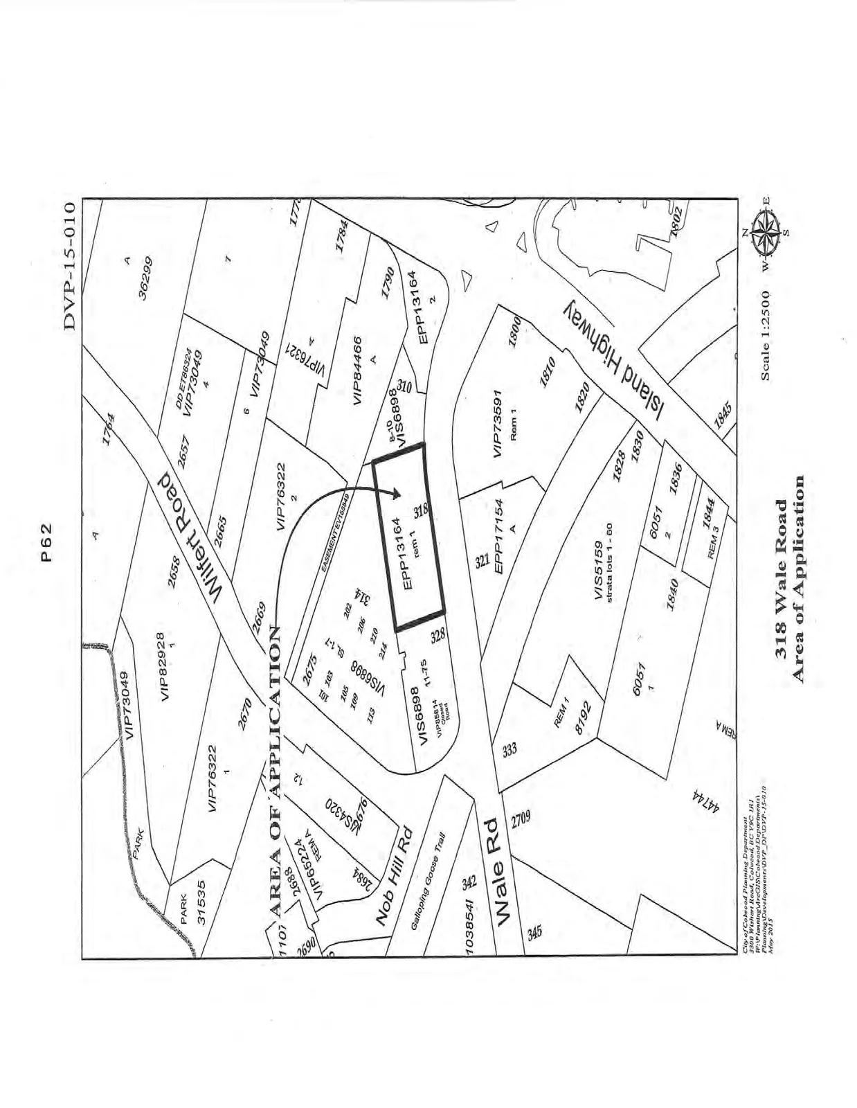
DVP-15-010 Area of Application Map
June 16, 2015Page 651 section
Site map showing the property at 318 Wale Road subject to the Colwood variance application.
318 Wale Road
318 Wale Road Area of Application
Scale: 1:2500
File Number: DVP-15-010
Date: May 2015
City of Colwood Planning Department
3300 Wishart Road, Colwood, BC V9C 1R1
Page 65
Extracted from: 2015 06 16 Council Agenda