This site is in beta — data may be incomplete and features are still being added.
Council Meeting/Documents/Appendix: Hallowell Road Visualization Rendering (Aerial)
Appendix

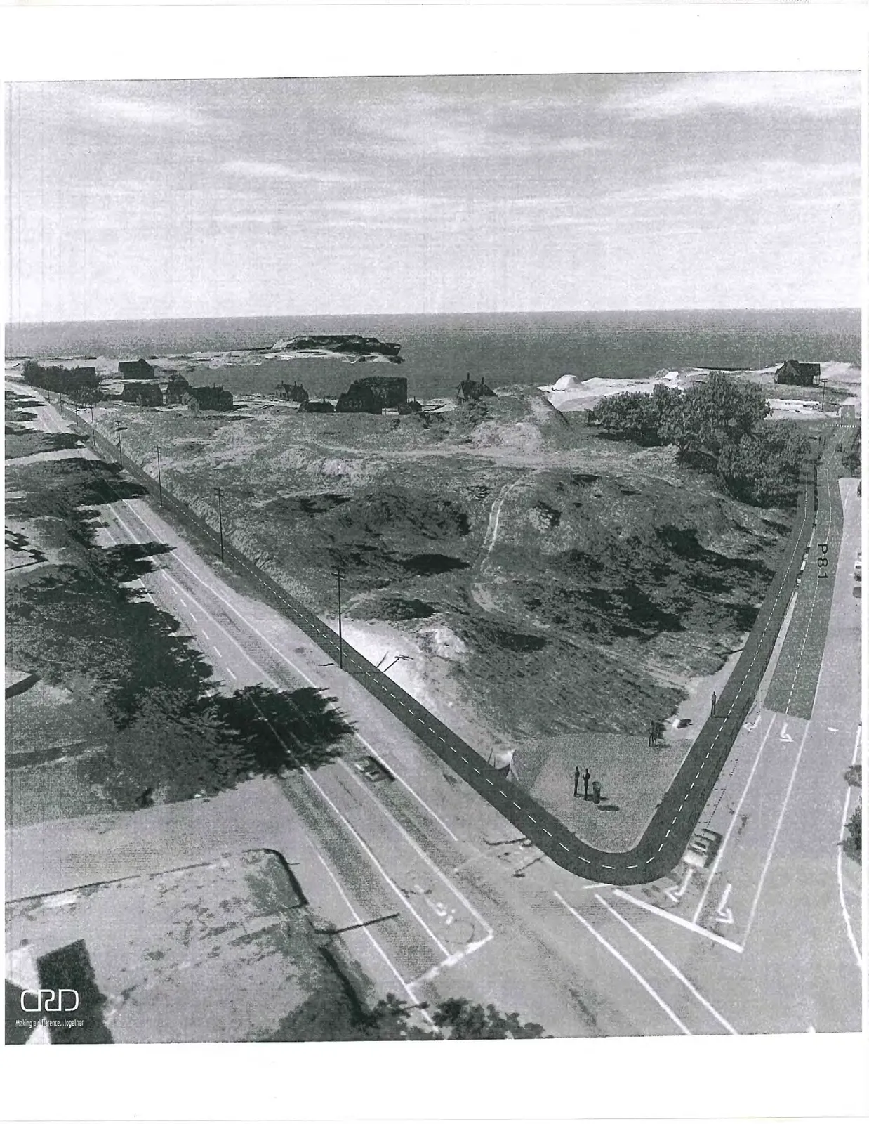
Appendix: Hallowell Road Visualization Rendering (Aerial)

June 23, 2015Page 831 section

Aerial visualization of the proposed road and trail layout for Hallowell Road.

1 CALL TO ORDER
CRD project rendering
Aerial rendering showing a proposed path labeled "P81" curving around a coastal landscape at a road intersection.
Page 83
Extracted from: 2015 06 23 Council Agenda