This site is in beta — data may be incomplete and features are still being added.
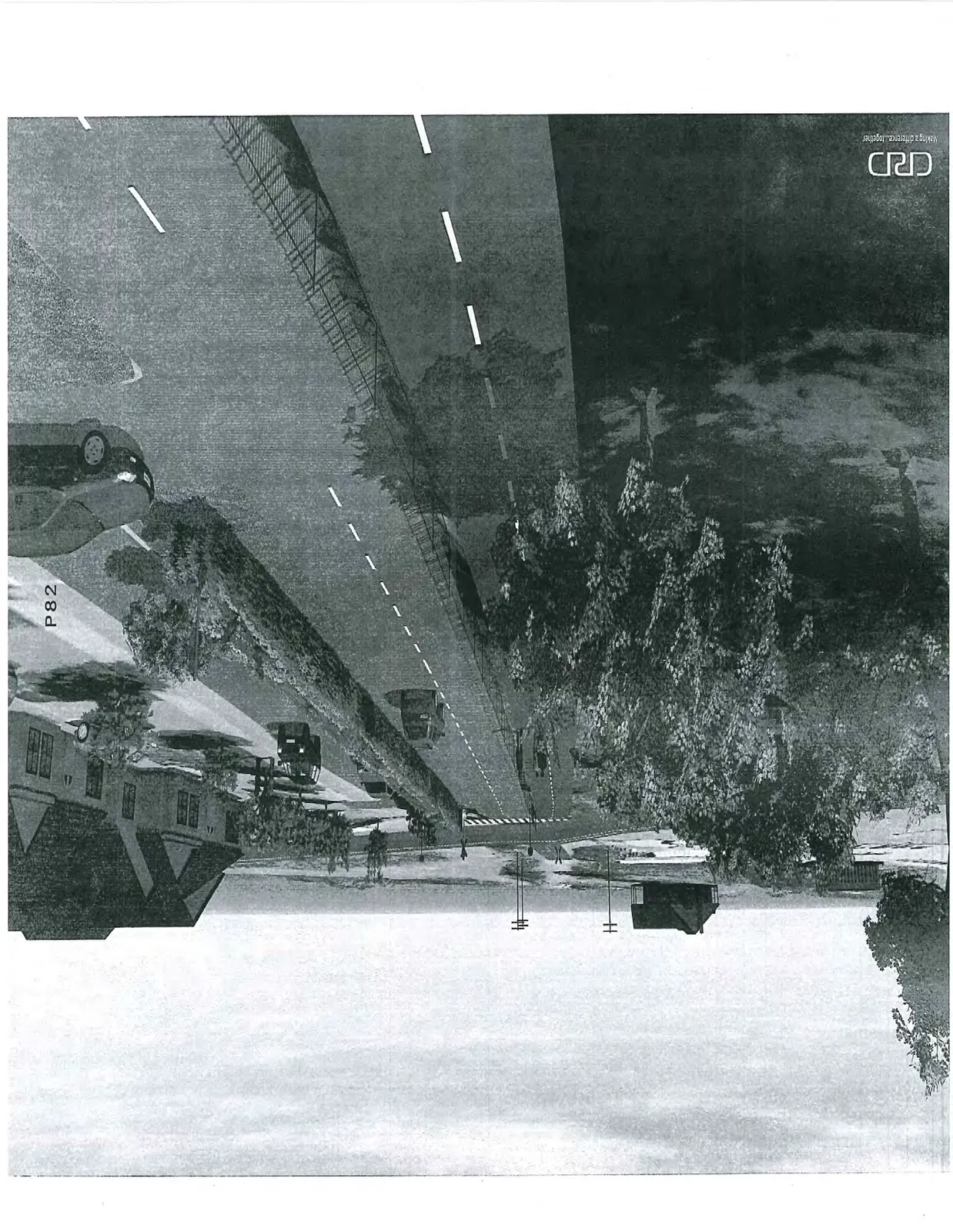
Council Meeting/Documents/Appendix: Hallowell Road Visualization Rendering (Street Level)
Appendix

Appendix: Hallowell Road Visualization Rendering (Street Level)

June 23, 2015Page 841 section

Street-level visualization showing the separation between the road and the E&N Rail Trail.

1 CALL TO ORDER
CRD project rendering
Architectural rendering of a streetscape featuring a paved road with lane markings, residential houses, parked and moving vehicles, and mature trees.
Page 84
Extracted from: 2015 06 23 Council Agenda