Appendix
Appendix 3: Site Plan (survey) - 2329 Evelyn Heights
May 1, 2012Page 201 section
Detailed survey plan showing the existing dwelling footprint and property boundaries.
Surveyor: Michael E. ClaxtonDate: Jan 2, 2012
Site Information and Plan - 2329 Evelyn Heights
Site Statistics
- Site Area: 7226.0 SQ FT (671.30 m²)
- Allowable Coverage: 30%
- Existing Coverage: 2162.0 SQ FT (201.20 m²)
- Proposed Coverage: 166.0 SQ FT (154.30 m²)
- Total Coverage: 2328 SQ FT (215.15 m²)
- Note: Floor area to remain unchanged.
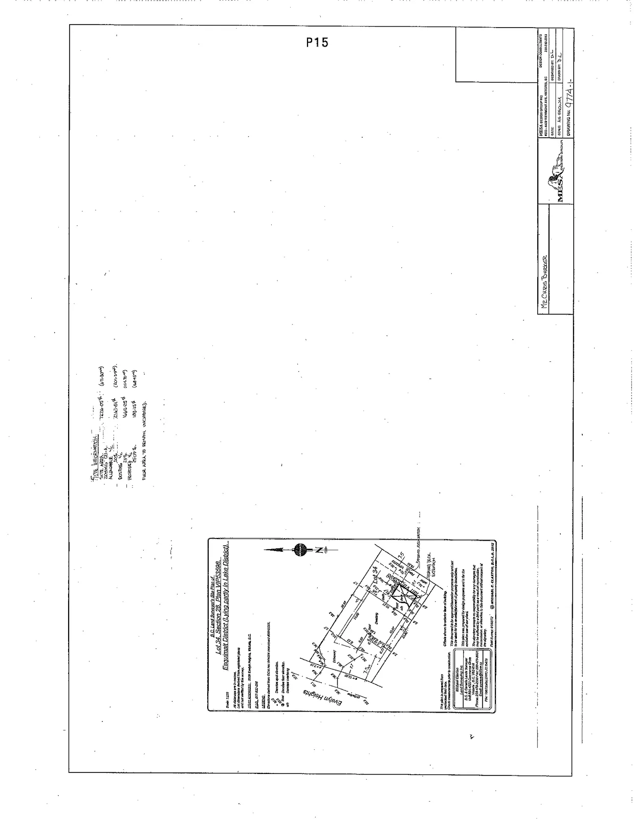
B.C. Land Surveyor's Site Plan Details
- Property Description: Lot 34, Section 28, Plan VIP53598, Esquimalt District (Lying partly in Lake District).
- Civic Address: 2329 Evelyn Heights, Victoria, B.C.
- PID: 017-532-506
Legend
- Denotes spot elevation
- Denotes roof overhang
- Denotes catchbasin
Project and Survey Information
- Client: Mr. Chris Barker
- Firm: Mesa Design Group
- Date: 2012-02-12
- Scale: As Shown
- Designed By: D.L.
- Drawn By: D.L.
- Drawing No: 9774-1
- Surveyor: Michael Claxton Land Surveying Inc.
- Field Survey Date: 01/02/12
Page 20
Extracted from: 2012 05 01 Council Agenda