Bylaw No. 819: Land Use Bylaw, 1990, No. 35, Amendment Bylaw No. 819, 2011
Bylaw to rezone Sub-Zone CD-10A to permit medium density residential apartment and attached uses.
TOWN OF VIEW ROYAL
BYLAW NO. 819
A BYLAW TO AMEND THE LAND USE BYLAW WITH RESPECT TO AMENDING THE TEXT OF SUB-ZONE CD-10A TO PERMIT RESIDENTIAL ATTACHED AND RESIDENTIAL APARTMENT USES
The Council of the Town of View Royal, in open meeting assembled, enacts as follows:
This Bylaw may be cited as "Land Use Bylaw, 1990, No. 35, Amendment Bylaw No. 819, 2011".
Section 43(2) of Part 6 of Bylaw No. 35, cited as ‘Land Use Bylaw, 1990, No. 35’ is hereby amended by deleting Sub-Zone CD-10A – Community Care Facility” from the ‘Burnside Comprehensive Development: CD-10’ Zone and replacing with the following:
“SUB-ZONE CD-10A – MEDIUM DENSITY RESIDENTIAL
Permitted Uses
- Residential Attached;
- Residential Apartment;
- Home Occupation.
Density The maximum floor space ratio shall not exceed 1:1.00.
Lot Coverage The maximum lot coverage for all structures shall not exceed 40%.
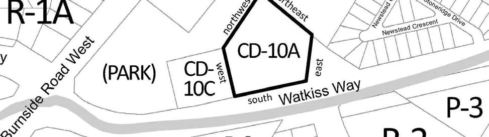
Setbacks Buildings and structures shall be site no less than: (a) 7.0 m of the westerly boundary of the CD-10A sub zone map attached as Schedule “1”; (b) 7.5 m of the northwesterly boundary of the CD-10A sub zone map attached as Schedule “1”; (c) 4.5 m of the northeasterly boundary of the CD-10A sub zone map attached as Schedule “1”; (d) 6.0 m of the easterly boundary of the CD-10A sub zone map attached as Schedule “1”; and (e) 7.5 m of the southerly boundary of the CD-10A sub zone map attached as Schedule “1”;
READ A FIRST TIME THIS 13TH DAY OF DECEMBER, 2011 READ A SECOND TIME THIS 13TH DAY OF DECEMBER, 2011 PUBLIC HEARING HELD THIS 21st DAY OF FEBRUARY, 2012 READ A THIRD TIME THIS 6th DAY OF MARCH, 2012
APPROVED BY THE MINISTRY OF TRANSPORTATION THIS 27th DAY OF MARCH, 2012
ADOPTED BY COUNCIL, SIGNED BY THE MAYOR AND THE CLERK AND SEALED WITH THE SEAL OF THE TOWN OF VIEW ROYAL THIS ___TH DAY OF __________, 2012
MAYOR CLERK
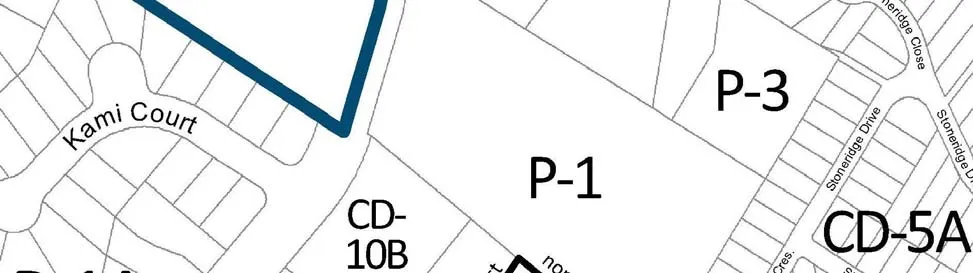
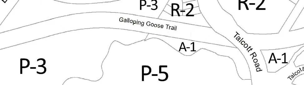
Schedule 1
Document Images
(1)