Appendix
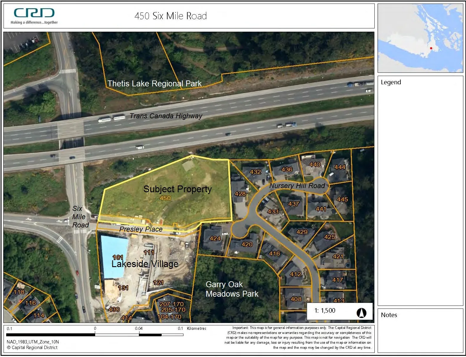
Attachment 2 - 450 Six Mile Road (CRD Orthophoto)
February 7, 2017Page 231 section
Aerial orthophoto showing the subject development property and its proximity to the Trans Canada Highway.
Subject Property: 450 Six Mile Road
450 Six Mile Road
Important: This map is for general information purposes only. The Capital Regional District (CRD) makes no representations or warranties regarding the accuracy or completeness of this map or the suitability of the map for any purpose. This map is not for navigation. The CRD will not be liable for any damage, loss or injury resulting from the use of the map or information on the map and the map may be changed by the CRD at any time.
1: 1,500
NAD_1983_UTM_Zone_10N © Capital Regional District
Page 23
Extracted from: 2017 02 07 Council Agenda - Agenda - Pdf