Appendix
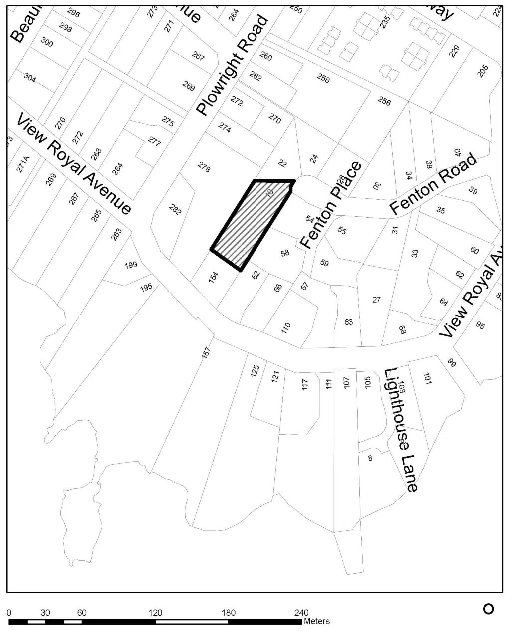
Attachment 1. Subject Property Map - 18 Fenton Road
October 17, 2017Page 331 section
Location map showing the parcel at 18 Fenton Road and surrounding streets.
18 Fenton Road
Report to Council
Re: Development Variance Permit 2017/02 – 18 Fenton Road Meeting Date: October 17, 2017
ATTACHMENTS:
- Subject Property Map
- Subject Property Orthophoto
- Site Plan, Glen Mitchell Land Surveying, Inc.- June 13, 2012 (modified later)
- Surveyor’s Sketch Plan, Glen Mitchell Land Surveying, Inc.- June 16, 2017
- Main Floor Plan, T-Square Holdings Inc., May 9, 2017
- Foundation Plan, T-Square Holdings Inc., May 9, 2017
- Upper Floor Plan, T-Square Holdings Inc., May 9, 2017
- South (Rear) Elevation , T-Square Holdings Inc., May 9, 2017
- North (Front) and Side (West) Elevation, T-Square Holdings Inc., May 9, 2017
Attachment 1.
Page 33
Extracted from: 2017 10 17 Council Agenda - Agenda - Pdf