This site is in beta — data may be incomplete and features are still being added.
Council Meeting/Documents/SCHEDULE “A” for Bylaw No. 971 (Map)
Appendix

SCHEDULE “A” for Bylaw No. 971 (Map)

July 18, 2017Page 2632 sections

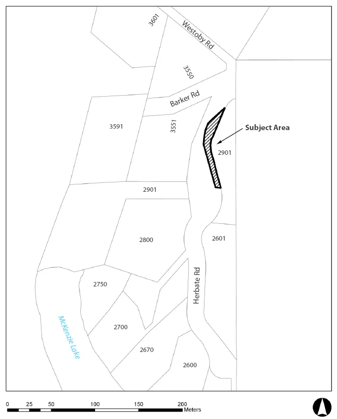
Map schedule identifying the 'Subject Area' for road closure near Herbate Road and Westoby Road.

Adjacent to 2901 Herbate Road

Road Closure and Removal of Highway Dedication

Bylaw No. 971, 2017

Page 263

SCHEDULE “A”

Map showing the Subject Area for road closure and removal of highway dedication, located along Herbate Road near its intersection with Barker Road. The map displays surrounding property parcels with addresses including 3601, 3550, 3591, 3551, 2901, 2800, 2601, 2750, 2700, 2670, and 2600. Nearby geographic features include Westoby Rd and Mckenzie Lake.
Page 263
Extracted from: 2017 07 18 Council Agenda - Agenda - Pdf