Appendix
SCHEDULE 1 for Bylaw No. 972 (Map)
July 18, 2017Page 2651 section
Map schedule showing 'Subject Lands' for the M-R Development Permit Area inclusion.
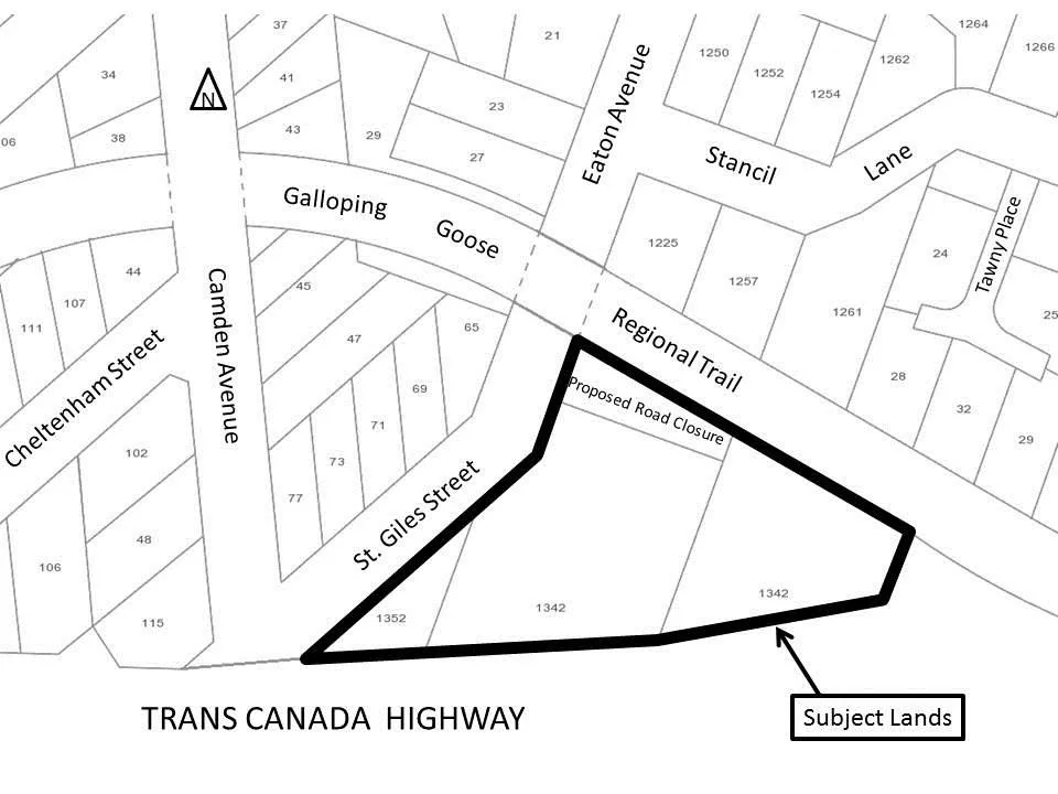
1342 and 1352 Trans Canada Highway
SCHEDULE 1
AMENDMENT TO SCHEDULE “P” FORM AND CHARACTER DEVELOPMENT PERMIT AREAS TO INCLUDE THE SUBJECT LANDS AT 1342 AT 1352 TRANS CANADA HIGHWAY IN THE MIXED RESIDENTIAL (M-R) DEVELOPMENT PERMIT AREA
Page 265
Extracted from: 2017 07 18 Council Agenda - Agenda - Pdf