This site is in beta — data may be incomplete and features are still being added.
Council Meeting/Documents/Attachment 3. Location Map – Lund Road (formerly 200 Cheam Road)
Appendix

Attachment 3. Location Map – Lund Road (formerly 200 Cheam Road)

July 4, 2017Page 1432 sections

Map showing the location of the proposed amenity land transfer.

1. CALL TO ORDER
PID 030-048-541

Attachment 3. Location Map – Lund Road (formerly 200 Cheam Road)

Page 143

Subject Property Map

Lund Rd Property (PID 030-048-541)
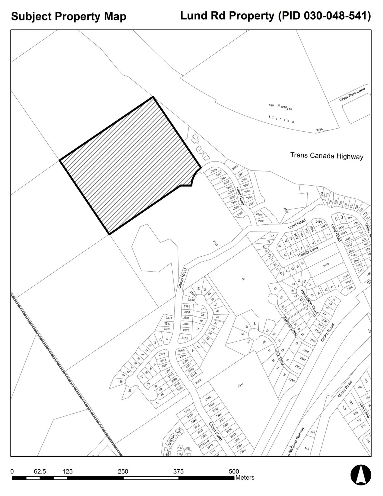
A cadastral map titled "Subject Property Map" for the "Lund Rd Property (PID 030-048-541)". The subject property is a large, rectangular parcel highlighted with diagonal hatching. The map shows surrounding features including the Trans Canada Highway, West Park Lane, Lund Road, Chilco Road, and various subdivided residential lots. A scale bar at the bottom ranges from 0 to 500 meters.
Page 143
Extracted from: 2017 07 04 Council Agenda - Agenda - Pdf