This site is in beta — data may be incomplete and features are still being added.
Council Meeting/Documents/Subject Property Map - 18 Fenton Road
Appendix

Subject Property Map - 18 Fenton Road

June 6, 2017Page 261 section

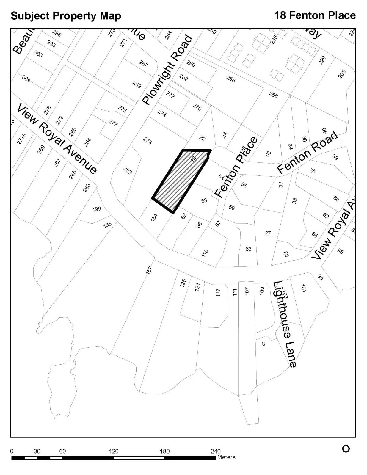
Map identifying the location of 18 Fenton Road for a Development Variance Permit application.

Address: 18 Fenton Road

Report to Council

Re: Development Variance Permit 2017/01 – 18 Fenton Road Meeting Date: June 6, 2017

Attachment 1. Subject Property Map - 18 Fenton Place

Subject property map showing property 18 at Fenton Place and the surrounding parcels. The map includes neighborhood streets: Plowright Road, View Royal Avenue, Fenton Place, Fenton Road, and Lighthouse Lane. A scale bar at the bottom indicates measurements from 0 to 240 meters.
Page 26
Extracted from: 2017 06 06 Council Agenda - Agenda - Pdf