Appendix
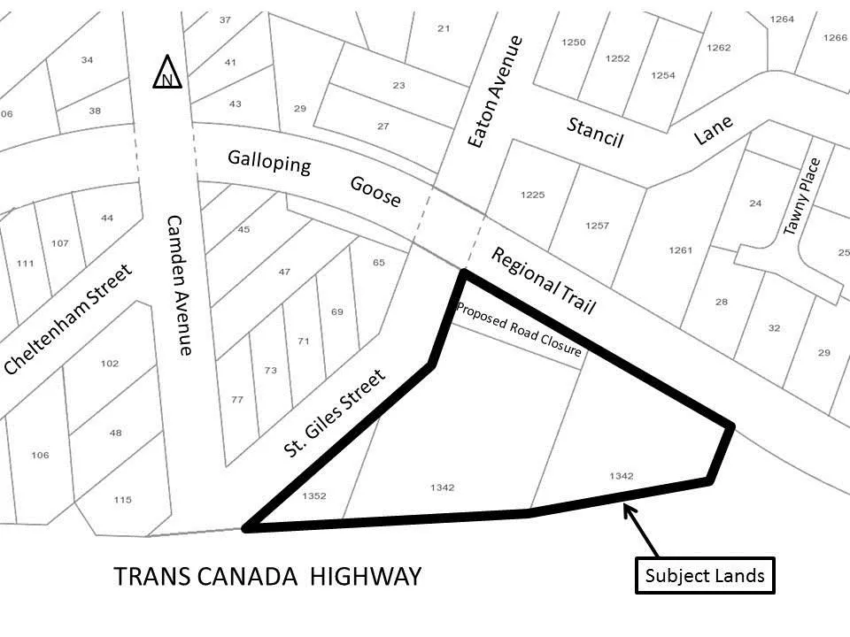
Schedule 1 - AMENDMENTS TO Schedule "B" Zoning Map (1342 & 1352 TCH)
June 6, 2017Page 891 section
Zoning map showing the specific parcels rezoned at 1342 and 1352 Trans Canada Highway.
Subject Lands: 1342 and 1352 Trans Canada Highway
Schedule 1
AMENDMENTS TO Schedule "B" Zoning Map of Zoning Bylaw No. 900, 2014
Page 89
Related Documents
(1)Extracted from: 2017 06 06 Council Agenda - Agenda - Pdf