Appendix
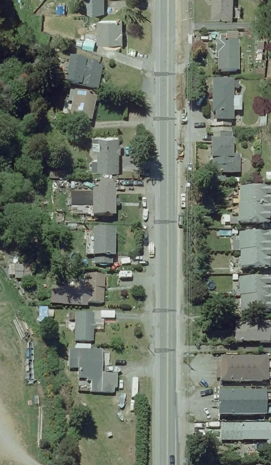
Conceptual Design Sketches - Luxton Park and Ride
January 15, 2019Pages 139–1401 section
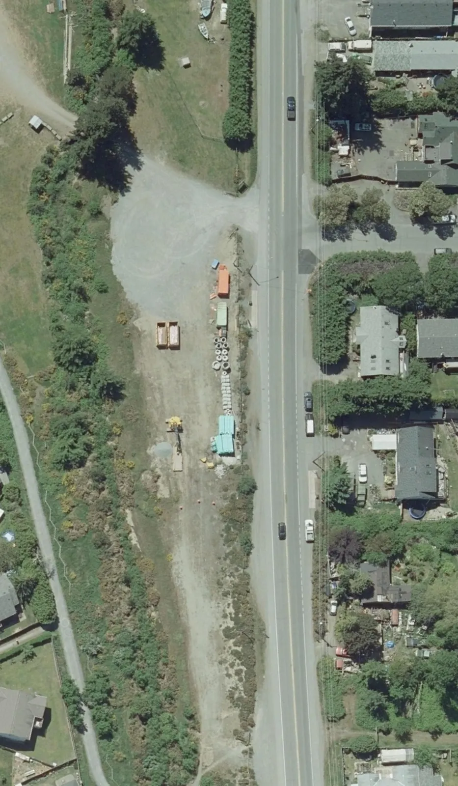
Conceptual engineering sketches (01X, 02X) for the Luxton Park and Ride facility in Langford.
Capacity: 91 stalls (incl. 2 small), 2 disable accessible stallsDate: 2018/07/13Location: Luxton Park and Ride, Langford
BC TRANSIT: ISLAND HWY TRANSIT PRIORITY PLAN
LUXTON PARK AND RIDE, LANGFORD
CONCEPTUAL DESIGN - PROJECT #652113 - SKETCH 01X
PROGRESS PRINT FOR COORDINATION ONLY – NOT AN OFFICIAL ISSUE DATE: 2018-07-30
| Role | Name | Date |
|---|---|---|
| DESIGNED | H. KAMBO | 2018/07/13 |
| REVIEWED | T. STEVENS | 2018/07/13 |
Scale: 1:500
STATION AVENUE PARK AND RIDE:
- 91 STALLS (INCL. 2 SMALL) (TYP. STALL SIZE: 2.8 m x 5.4 m)
- 2 DISABLE ACCESSIBLE STALLS
Map Features:
- HIGHWAY 14
- POSTED SPEED 60 km/h
- Lane Dimensions: 3.6 m, 3.3 m
- FENCE
CONCEPTUAL DESIGN - PROJECT #652113 - SKETCH 02X
PROGRESS PRINT FOR COORDINATION ONLY – NOT AN OFFICIAL ISSUE DATE: 2018-07-30
| Role | Name | Date |
|---|---|---|
| DESIGNED | H. KAMBO | 2018/07/13 |
| REVIEWED | T. STEVENS | 2018/07/13 |
Scale: 1:500
STATION AVENUE PARK AND RIDE:
- 91 STALLS (INCL. 2 SMALL) (TYP. STALL SIZE: 2.8 m x 5.4 m)
- 2 DISABLE ACCESSIBLE STALLS
Map Features and Labels:
- RONALD ROAD
- HIGHWAY 14 SOOKE ROAD
- EXISTING BUS PLATFORM
- POSTED SPEED 60 km/h
- FIREHALL CREEK
- GALLOPING GOOSE TRAIL
- 1.8 SIDEWALK
- Roadway Lane Dimensions: 3.6, 3.3, 3.6, 3.3, 3.0
- Parking and Aisle Dimensions: 4.0 (TYP.), 7.0 (TYP.)
- DISABLED (parking area)
- FENCE
Page 139–140
Document Images
(2)

Extracted from: 2019 01 15 Council Agenda - Agenda - Pdf