Drawing A1.0 - Site Context Plan
Architectural drawing showing the project site in the context of the surrounding View Royal neighborhood.
Proposed Residential Development
242-244 Island Highway, Victoria, BC
Project Information
- Project Title: Proposed Residential Development
- Address: 242-244 Island Highway, Victoria, BC
- Drawing Title: Context Plan
- Project No.: 17-504
- Date: 05 NOV 2018
- Scale: AS NOTED
- Drawn by: TS
- Checked by: LOWE
- Sheet No.: A1.0
Issue / Revisions
| No. | Issued / Revisions | Date |
|---|---|---|
| 1 | REZONING | 19 FEB '18 |
| 2 | REVISIONS TO REZONING | 15 MAY '18 |
| 3 | DEVELOPMENT PERMIT | 25 JUNE '18 |
| 4 | REVISIONS TO DP | 08 NOV '18 |
Property and Lot Map
This map shows the immediate property vicinity and lot numbering.
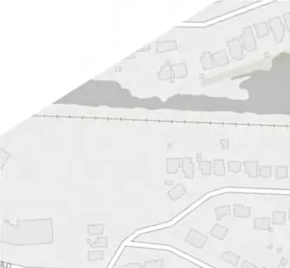
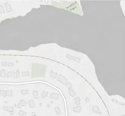
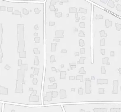
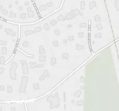
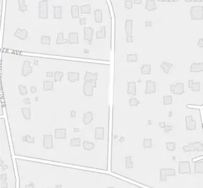
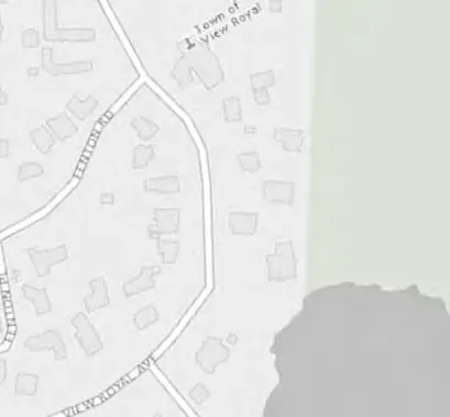
1 Site Context Plan
Scale: N.T.S.
The Site Context Plan identifies the project site location (marked "SITE") relative to local landmarks and surrounding streets. Key locations include:
- Portage Inlet
- Portage Park
- Thetis Cove
- View Royal Elementary
- Island Hwy
- Suzanne Pl
- Stormont Rd
- Plowright Rd
Document Images
(11)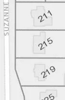
Map detail showing Suzanne Pl and lots 211, 215, 219
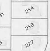
Map detail showing lots 214, 218, 222
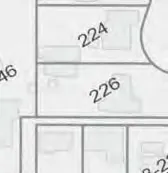
Map detail showing lots 224, 226
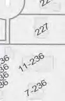
Map detail showing lot 227 and units 11-236, 7-236
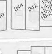
Map detail showing lots 244, 242
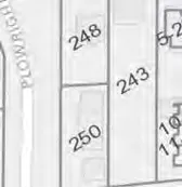
Map detail showing lots 248, 250, 243
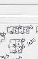
Map detail showing unit numbering including 3-236, 8-235, and 9-236
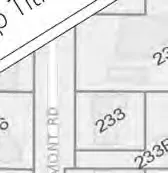
Map detail showing lot 233 on Stormont Rd
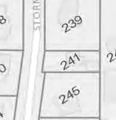
Map detail showing Stormont Rd and lots 239, 241, 245
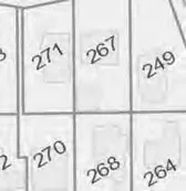
Map detail showing lots 271, 267, 249, 270, 268, 264
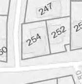
Map detail showing lots 247, 252, 254