This site is in beta — data may be incomplete and features are still being added.
Council Meeting/Documents/Subject Property Map - 371 Island Hwy
Appendix

Subject Property Map - 371 Island Hwy

January 15, 2019Page 2052 sections

A geographic map identifying the subject property at 371 Island Highway and its surrounding context.

1 CALL TO ORDER
371 Island HighwayIdentifies Highbank Road and Adams Place

Report to Mayor and Council

Development Variance Permit 2018/04 – 371 Island Highway Meeting Date: January 15, 2019

Page 205

Subject Property Map

371 Island Highway
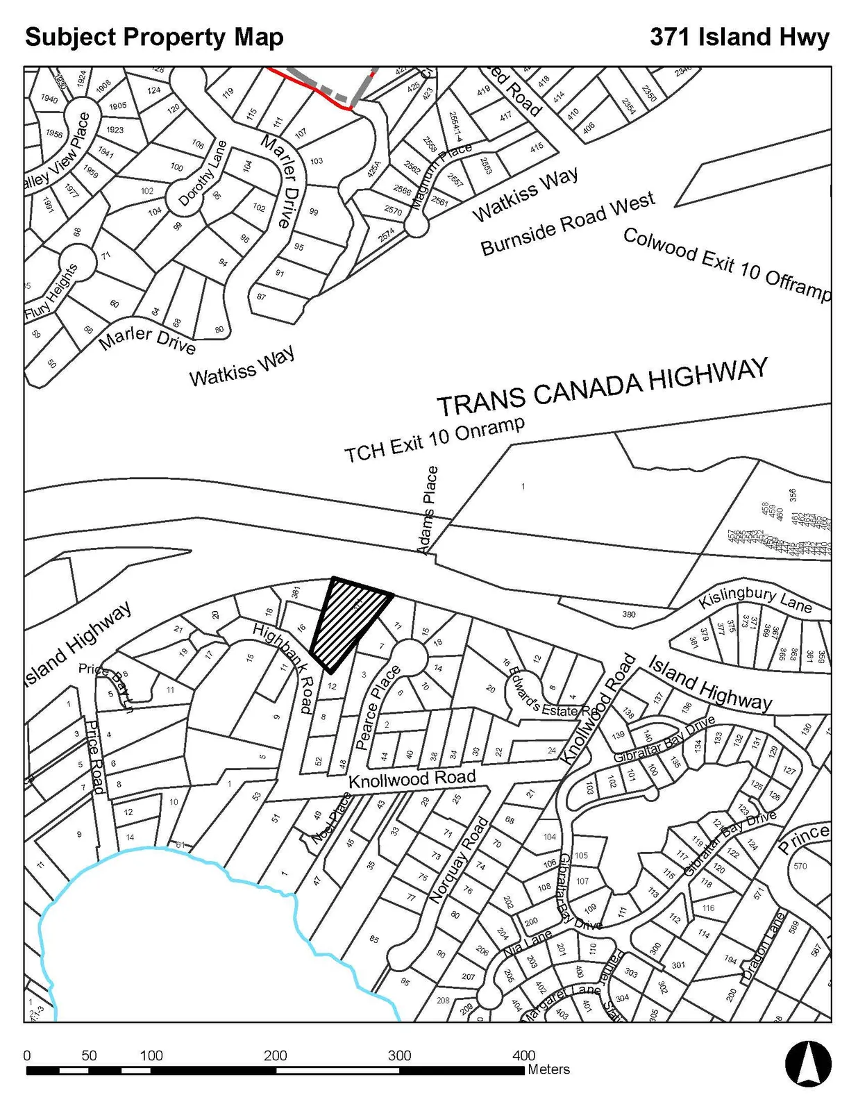
Subject property map for 371 Island Highway, showing the location of the shaded subject property relative to the Trans Canada Highway, Island Highway, Watkiss Way, and surrounding residential streets.
Page 205
Extracted from: 2019 01 15 Council Agenda - Agenda - Pdf