Appendix
CRD Map - Erskine Lane Area
June 18, 2019Page 551 section
Aerial map of the Erskine Lane area highlighting strata lots and proximity to the Galloping Goose Trail.
Visual reference for the petition area
Erskine Lane Area Map
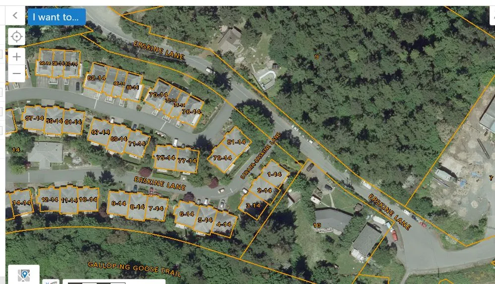
Street Names:
- Erskine Lane
- Strata-Erskine Lane
- Galloping Goose Trail
Unit and Property Numbers:
- 1-14, 2-14, 3-14, 4-14, 5-14, 6-14, 7-14, 8-14, 9-14, 10-14, 11-14, 12-14, 14-14
- 56-14, 57-14, 58-14, 59-14, 60-14, 61-14, 62-14, 63-14, 65-14, 67-14, 69-14, 70-14, 71-14, 72-14, 74-14, 75-14, 76-14, 77-14, 79-14, 81-14
- Property parcel numbers: 9, 10, 14
Page 55
Extracted from: 2019 06 18 Council Agenda - Agenda - Pdf