Appendix
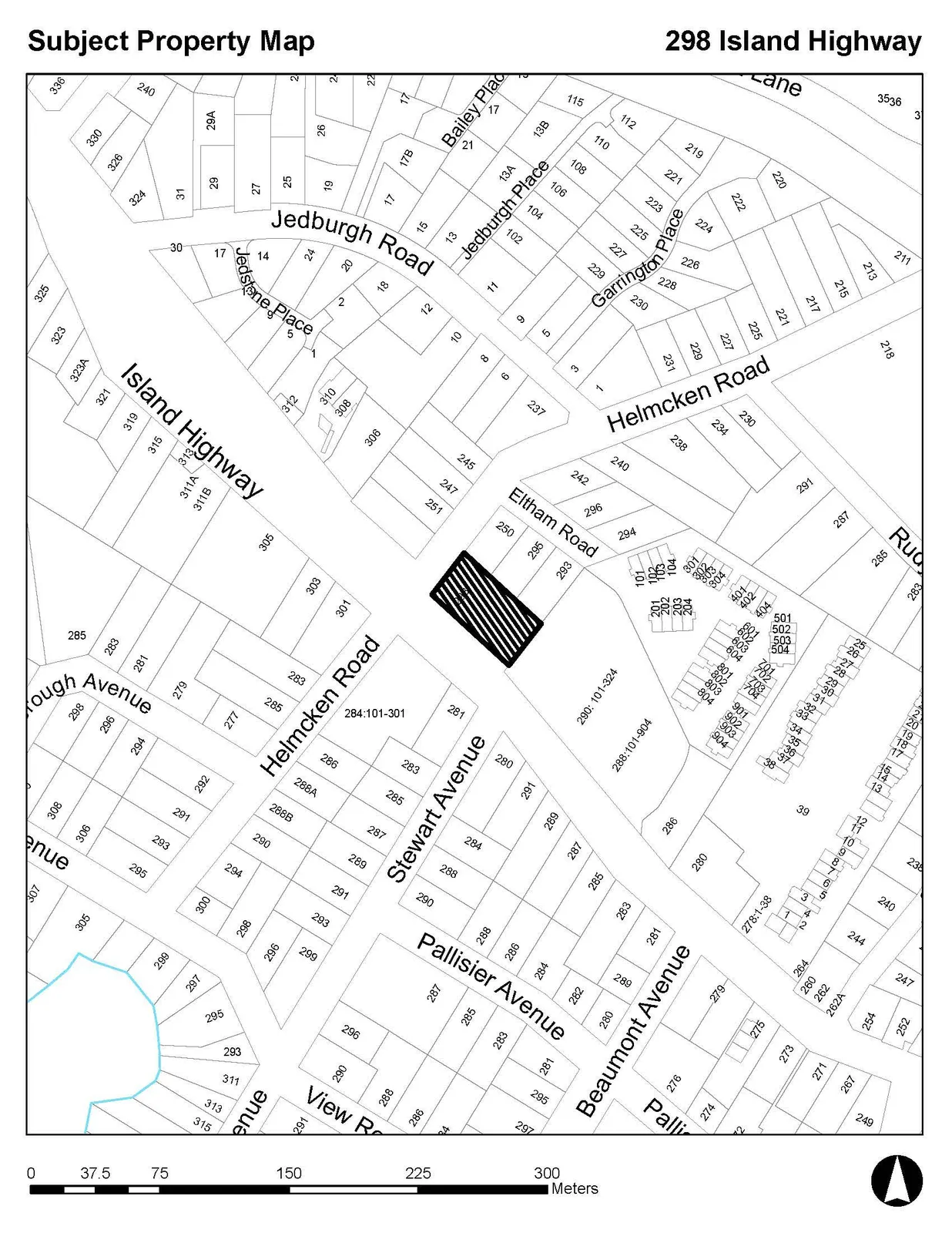
SCHEDULE 1: Subject Property Map - 298 Island Highway (Bylaw 1060)
February 16, 2021Pages 67–682 sections
Official map schedule showing the subject property at 298 Island Highway being amended in the OCP.
298 Island HighwayLot 1, Section 8, Esquimalt District, Plan 35505
- Schedule "L" Land Use Designations of Official Community Plan Bylaw No. 811, 2011 is amended by changing the land use designation for the lands addressed as 298 Island Highway and legally described as
Lot 1, Section 8, Esquimalt District, Plan 35505
and shown outlined on the sketch plan in Schedule “1” forming part of this Bylaw from “Neighbourhood Mixed Use” to “Neighbourhood Centre”.
READ A FIRST TIME THIS 17th DAY OF NOVEMBER, 2020
READ A SECOND TIME THIS 17th DAY OF NOVEMBER, 2020
PUBLIC HEARING HELD THIS 2nd DAY OF FEBRUARY, 2021.
READ A THIRD TIME THIS THIS ___ th DAY OF _________.
ADOPTED BY COUNCIL, SIGNED BY THE MAYOR AND THE CORPORATE OFFICER AND SEALED WITH THE SEAL OF THE TOWN OF VIEW ROYAL THIS ___ th DAY OF _________.
Page 67–68
SCHEDULE 1.
Subject Property Map
298 Island Highway
Page 67–68
Related Documents
(1)Extracted from: 2021 02 16 Council Agenda - Agenda - Pdf