This site is in beta — data may be incomplete and features are still being added.
Council Meeting/Documents/Attachment 7. Existing Site Features - Map
Appendix

Attachment 7. Existing Site Features - Map

October 19, 2021Page 591 section

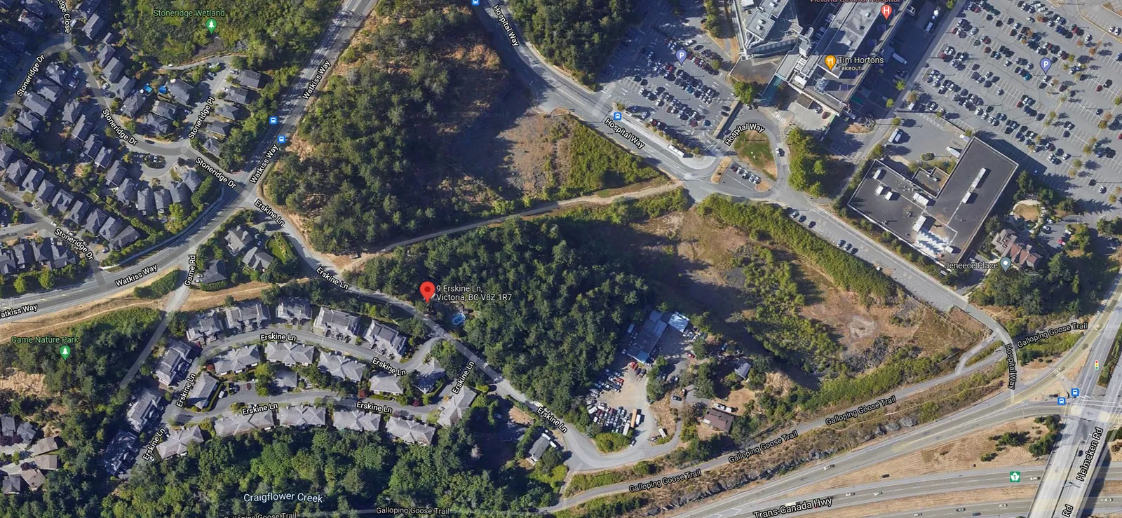
Annotated Google Maps aerial view identifying the existing house and pool on the property.

8.1.b 9 Erskine Lane - Soil Removal

9 Erskine Ln

10/4/21, 3:20 PM

Google Maps satellite view of 9 Erskine Ln, Victoria, BC V8Z 1R7. The image is annotated with red arrows pointing to an "Existing House" and an "Existing Pool". Surrounding landmarks and streets include Stoneridge Wetland, Watkiss Way, Stoneridge Dr, Hospital Way, Galloping Goose Trail, Craigflower Creek, and Trans Canada Hwy.

Imagery ©2021 Maxar Technologies, Map data ©2021 20 m

Page 59
Extracted from: 2021 10 19 Council Agenda - Agenda - Pdf