This site is in beta — data may be incomplete and features are still being added.
Council Meeting/Documents/Attachment III – Typical Site Photographs (Plate #1 and #2)
Appendix

Attachment III – Typical Site Photographs (Plate #1 and #2)

November 3, 2020Pages 197–1981 section

Photographs showing the wetted depressions/ditches on the western and southwestern corner of the 9 Erskine Lane property.

1 CALL TO ORDER
9 Erskine LanePlate #1Plate #2

Attachment III – Typical Site Photographs

Upper view of the wetted depression/ditch area next to a road sign and wooded area
Lower view of the grassy terrain within the wetted depression/ditch

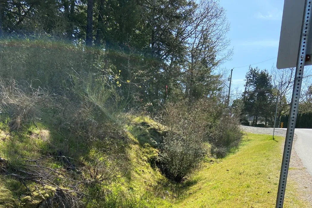
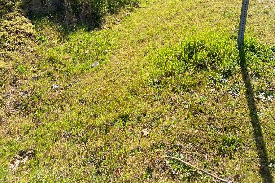
Plate #1 – Typical view of the existing wetted depression/ditch onsite along the southwestern corner of the property

Upper view of the ditch area running alongside a paved road with streetlights
Lower view of vegetation, including a clump of rushes, within the ditch

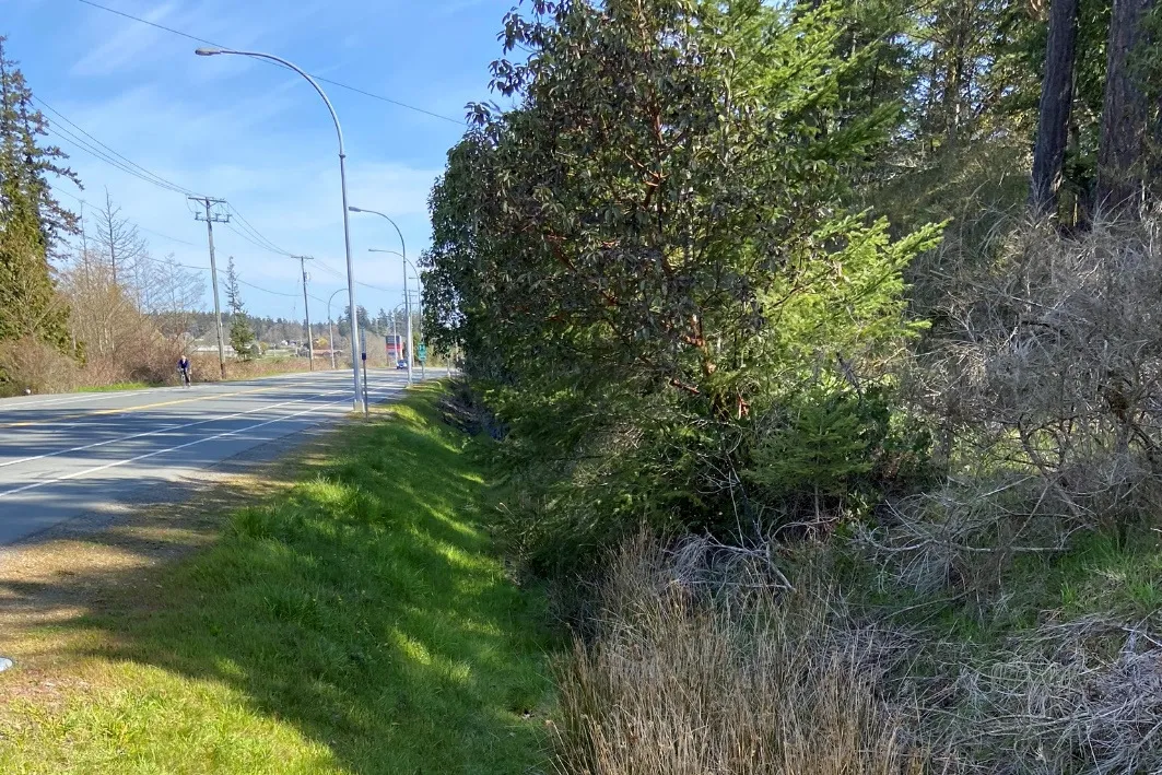
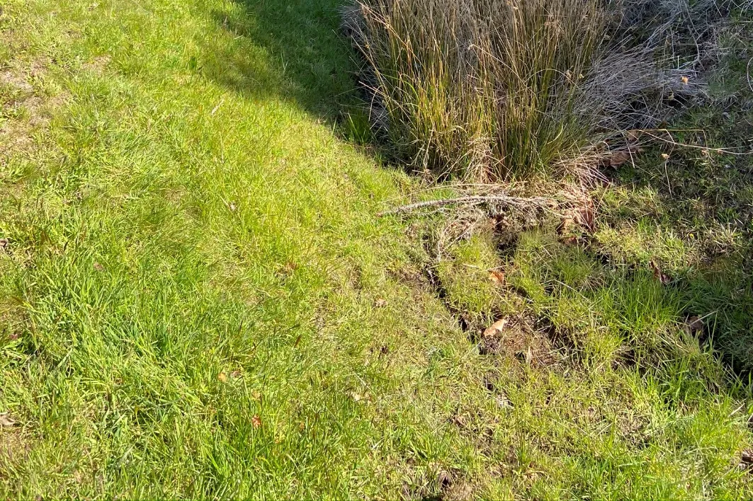
Plate #2 – Typical view of the existing wetted depression/ditch onsite along the western flank of the property

Page 197–198

Document Images

(1)
Document image
Extracted from: 2020 11 03 Council Agenda - Agenda - Pdf