Appendix
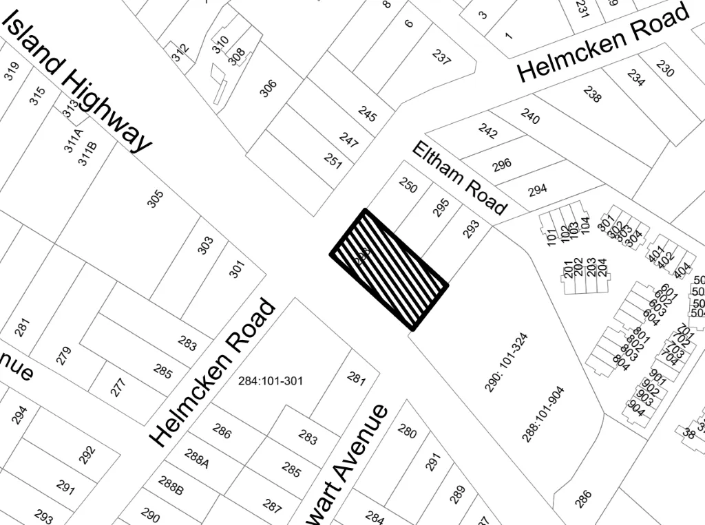
Attachment 1. Location Map (298 Island Hwy)
November 3, 2020Page 3961 section
A street map identifying the project location at the intersection of Island Highway and Helmcken Road.
298 Island HighwayIntersection of Island Highway and Helmcken Road
Attachment 1. Location Map
Page 396
Extracted from: 2020 11 03 Council Agenda - Agenda - Pdf