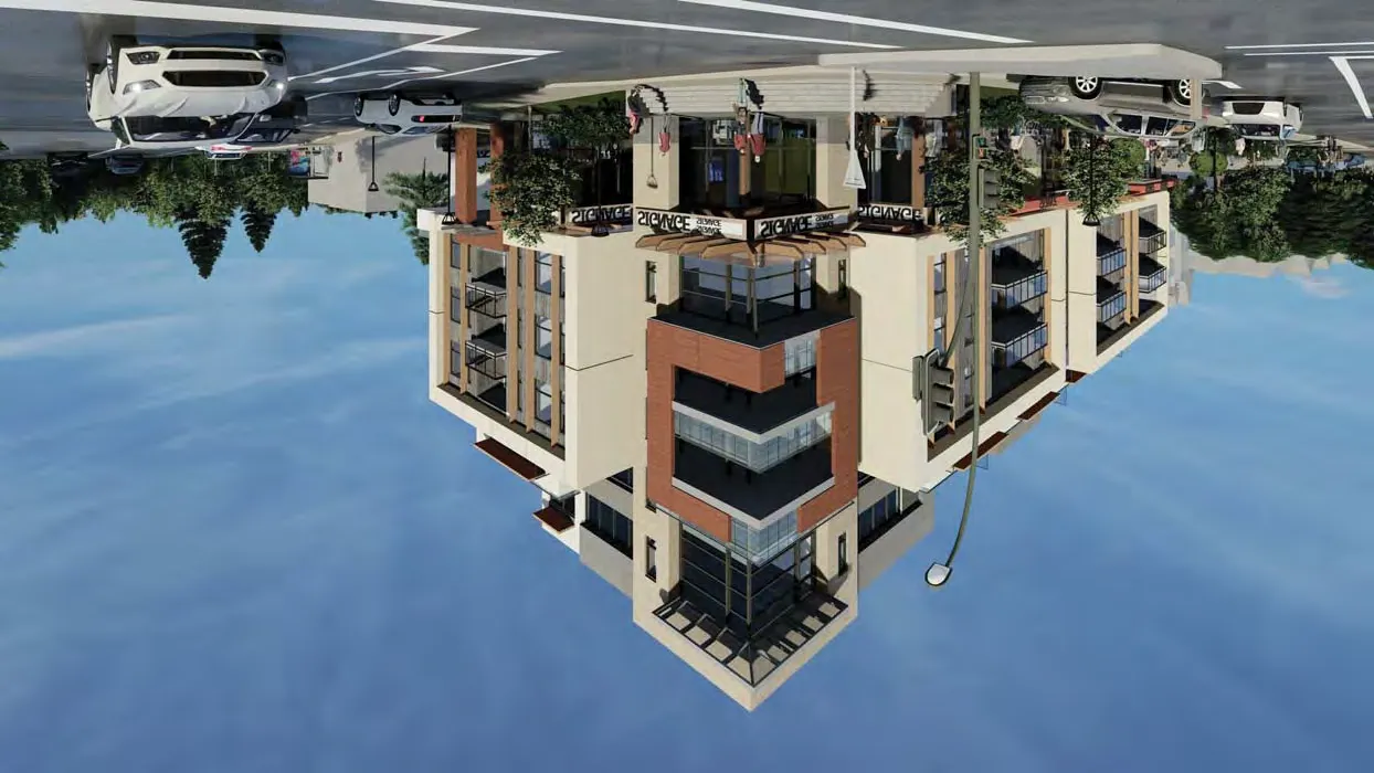
298 ISLAND HIGHWAY, VICTORIA, B.C. MIXED-USE DEVELOPMENT (Architectural Drawings - Attachment 6)
Comprehensive architectural drawing set for the rezoning application of 298 Island Highway, including site plans, floor plans, and building elevations.
298 ISLAND HIGHWAY, VICTORIA, B.C.
MIXED-USE - COMMERCIAL / RESIDENTIAL DEVELOPMENT
Issued for Rezoning - June 17, 2020
Project Team
- Client: Royale Development Corp., 1151 West 32nd Avenue, Vancouver, BC, V6H 2H8. Contact: Jeffrey Sengara.
- Architect: Ankenman Marchand Architects, 1645 West 5th Avenue, Vancouver, BC V6J 1N5. Contact: Timothy Ankenman.
- Surveyor: Glen Mitchell Land Surveying Inc., 1030 North Park Street, Victoria, BC V8T 1C6. Contact: Glen Mitchell.
- Landscape: Lombard North Group, 836 Cormorant Street, Victoria, BC V8W 1R1. Contact: James Partlow.
- Traffic: ADDOZ Engineering Inc., 4128 Fraser Street, Vancouver, BC V5V 4E8. Contact: Emad Ealsaidi.
Drawing List
| SHEET NUMBER | SHEET NAME | SHEET NUMBER | SHEET NAME |
|---|---|---|---|
| A001 | COVER PAGE & DRAWING LIST | A200 | ELEVATION - SOUTH |
| A002 | STATISTICS | A210 | ELEVATION - WEST |
| A030 | CONTEXT | A220 | ELEVATION - NORTH |
| A040 | STREETSCAPE | A230 | ELEVATION - EAST |
| A041 | STREETSCAPE | A300 | SECTION 1 - EAST & WEST - MAIN RAMP |
| A050 | BUILDING CODE DATA | A310 | SECTION 2 - EAST & WEST - STAIR |
| A090 | SHADOW STUDY | A320 | SECTION 3 - EAST & WEST |
| A100 | SURVEY | A330 | SECTION 4 - NORTH & SOUTH - RAMP |
| A101 | SITE PLAN | A340 | SECTION 5 - NORTH & SOUTH |
| A105 | PARKING LEVEL - P2 FLOOR PLAN | A600 | 3D REPRESENTATIONS |
| A107 | PARKING LEVEL - P1 FLOOR PLAN | A610 | 3D REPRESENTATIONS |
| A110 | GROUND FLOOR PLAN | A810 | AREAS - LEVEL 1 |
| A120 | LEVEL 2 FLOOR PLAN | A820 | AREAS - LEVEL 2 |
| A130 | LEVEL 3 FLOOR PLAN | A830 | AREAS - LEVEL 3 |
| A140 | LEVEL 4 FLOOR PLAN | A840 | AREAS - LEVEL 4 |
| A150 | LEVEL 5 FLOOR PLAN | A850 | AREAS - LEVEL 5 |
| A160 | LEVEL 6 FLOOR PLAN | A860 | AREAS - LEVEL 6 |
| A170 | ROOF PLAN |
STATISTICS
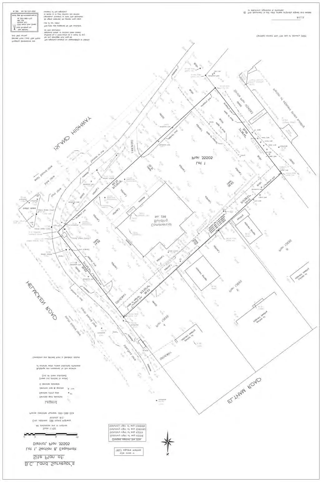
Legal Description: LOT 1, SECTION 8, ESQUIMALT DISTRICT, PLAN 35505. PID 000-348-554.
Civic Address: 298 Island Highway, Victoria, BC
Zoning: Current: C-1 (Community Commercial)
Proposed Use: Proposed: CD (Comprehensive Development - Mixed Use)
Survey Information: Based on survey information by Glen Mitchell Land Surveying Inc. Victoria, B.C. Dated: January 13th, 2020
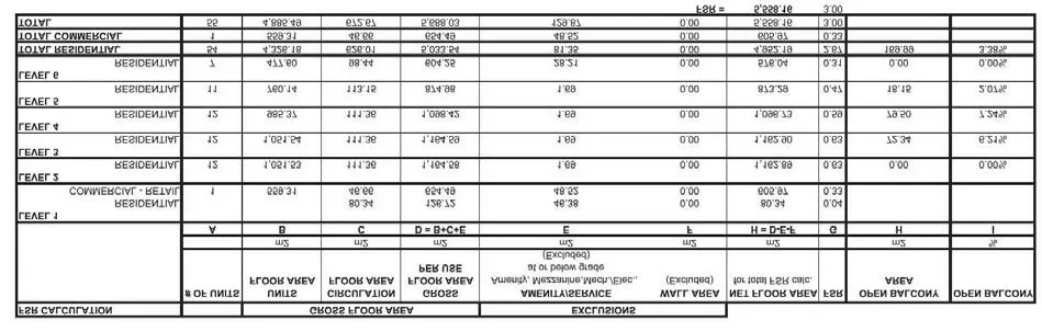
DEVELOPMENT DATA SUMMARY:
- Site Area: 1,853.00 m2 (19,945.53 SF)
- Permitted FSR: Per C-1 = 0.8: 1,482.40 m2 (15,956.42 SF)
- Proposed Gross FSR: Proposed per CD = 3.0: 5,559.00 m2 (59,836.58 SF)
- Permitted Site Coverage: Per C-1 = 50%: 926.50 m2
- Proposed Site Coverage: Proposed per CD = 75%: 1,391.00 m2
- Permitted Height: Per C-1: 9 m
- Proposed Height: Proposed per CD: 20.23 m (6 Storeys)
SETBACKS:
| Required per C-1 | Proposed per CD |
|---|---|
| Front lot line: min. 7.5m | 0m |
| Rear lot line: min. 7.5m | varies 3.12m to 3.95m |
| Side lot line: min. 6m | 0m |
| Flanking lot line: min. 3m | varies 3.12m to 4.33m |
FSR CALCULATION
| FSR CALCULATION | # OF UNITS | GROSS FLOOR AREA | EXCLUSIONS | NET FLOOR AREA for total FSR calc. | FSR | OPEN BALCONY AREA | % |
|---|---|---|---|---|---|---|---|
| m2 | m2 | m2 | m2 | ||||
| LEVEL 1 | |||||||
| RESIDENTIAL | 80.34 | 46.38 | 80.34 | 0.04 | |||
| COMMERCIAL - RETAIL | 1 | 559.31 | 48.52 | 605.97 | 0.33 | ||
| LEVEL 2 | |||||||
| RESIDENTIAL | 12 | 1,051.53 | 1.69 | 1,162.89 | 0.63 | 0.00 | 0.00% |
| LEVEL 3 | |||||||
| RESIDENTIAL | 12 | 1,051.54 | 1.69 | 1,162.90 | 0.63 | 72.34 | 6.21% |
| LEVEL 4 | |||||||
| RESIDENTIAL | 12 | 985.37 | 1.69 | 1,096.73 | 0.59 | 79.50 | 7.24% |
| LEVEL 5 | |||||||
| RESIDENTIAL | 11 | 760.14 | 1.69 | 873.29 | 0.47 | 18.15 | 2.07% |
| LEVEL 6 | |||||||
| RESIDENTIAL | 7 | 477.60 | 28.21 | 576.04 | 0.31 | 0.00 | 0.00% |
| TOTAL RESIDENTIAL | 54 | 4,325.18 | 81.35 | 4,952.19 | 2.67 | 169.99 | 3.38% |
| TOTAL COMMERCIAL | 1 | 559.31 | 48.52 | 605.97 | 0.33 | ||
| TOTAL | 55 | 4,884.49 | 129.87 | 5,558.16 | 3.00 |
PARKING:
PARKING REQUIRED PER 5.10 (TABLE 5.2):
Residential:
- Studio or One Bedroom 1 stall per dwelling unit: 16 units x 1 stall = 16 stalls
- Two Bedroom 1.5 stall per dwelling unit: 37 units x 1.5 stall = 56 stalls
- Three Bedroom or more 2 stalls per dwelling unit: 1 unit x 2 stall = 2 stalls
- Total Commercial number of stalls required: 74 stalls
Commercial:
- Retail store: 1 per 20m2 of floor area: 559.3 m2 / 20 m2 = 28 stalls
- Total Commercial number of stalls required: 28 stalls
- TOTAL NUMBER OF STALLS REQUIRED: 102 STALLS
PARKING PROPOSED:
Residential:
- Parallel: 2 stalls
- Standard parking stalls: 21 stalls
- Small parking stalls: 51 stalls
- Disability parking stalls: 2 stalls
- Total Residential parking proposed: 76 stalls
Commercial:
Parallel: 2 stalls
Standard parking stalls: 12 stalls
Small parking stalls: 13 stalls
Disability parking stalls: 1 stall
Total Commercial parking proposed: 28 stalls
Standard stalls total: 40 (40% required)
Small stalls total: 64 (60%)
TOTAL NUMBER OF STALLS PROPOSED: 104 STALLS
Seeking relaxation on Standard vs. Small stalls ratio.
LOADING:
LOADING SPACES REQUIRED PER 5.10 (TABLE 5.3):
Commercial:
- Retail store:
- One for up to 500m2 floor area;
- Two for 500m2 to 2,500 m2 floor area: 2 stalls
- Commercial floor area = 559 m2
- Total Commercial number of stalls required: 2 stalls
- Total Commercial number of stalls proposed: 1 stall
- Seeking relaxation on 1 loading stall.
BICYCLE PARKING:
REQUIRED PER 5.11 (TABLE 5.4):
Residential:
- 1 stall per dwelling unit (Class 1): 54 units x 1 stall = 54 stalls (Class 1)
- 6-space rack per entrance (Class 2): six space rack = 1 Rack (Class 2)
Commercial:
- Retail store: 1 per 250m2 of floor area: 654.49 m2 / 250 m2 = 2.6 stalls
- Class 1 (50%) = 2 stalls
- Class 2 (50%) = 1 stalls
PROPOSED:
Residential:
- Class 1 Horizontal stalls: 32 stalls
- Class 1 Vertical stalls: 30 stalls
- Class 2 Rack: 6 stalls
- Total Residential stalls proposed: 68 stalls
Commercial:
- Class 1 Horizontal stalls: 2 stalls
- Class 2 Rack: 6 stalls
- Total Commercial number of stalls proposed: 8 stalls
- TOTAL NUMBER OF STALLS PROPOSED: 76 STALLS
UNIT MIX:
RESIDENTIAL UNITS BREAKDOWN
| UNIT TYPE | COUNT |
|---|---|
| 1 BDR | 12 |
| 1 BDR + D | 4 |
| 2 BDR | 20 |
| 2 BDR + D | 17 |
| 3 BDR | 1 |
| RESIDENTIAL UNITS TOTAL | 54 |
COMMERCIAL UNITS BREAKDOWN
| UNIT TYPE | COUNT |
|---|---|
| COMMERCIAL UNIT | 1 |
| COMMERCIAL UNITS TOTAL | 1 |
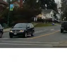
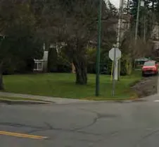
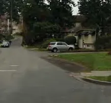
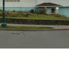
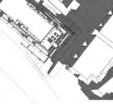
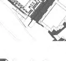
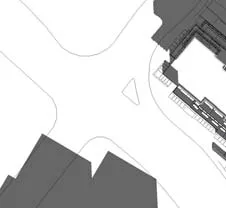
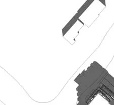
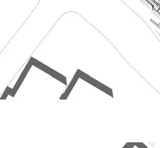
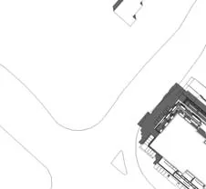
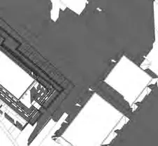
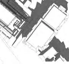
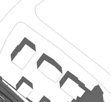
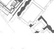
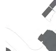
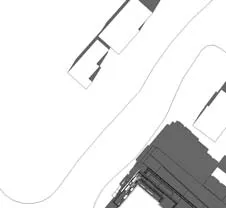
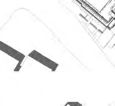
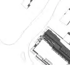
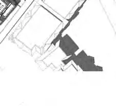
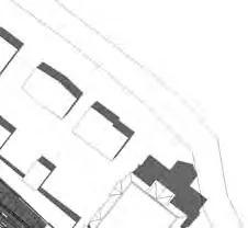
CONTEXT
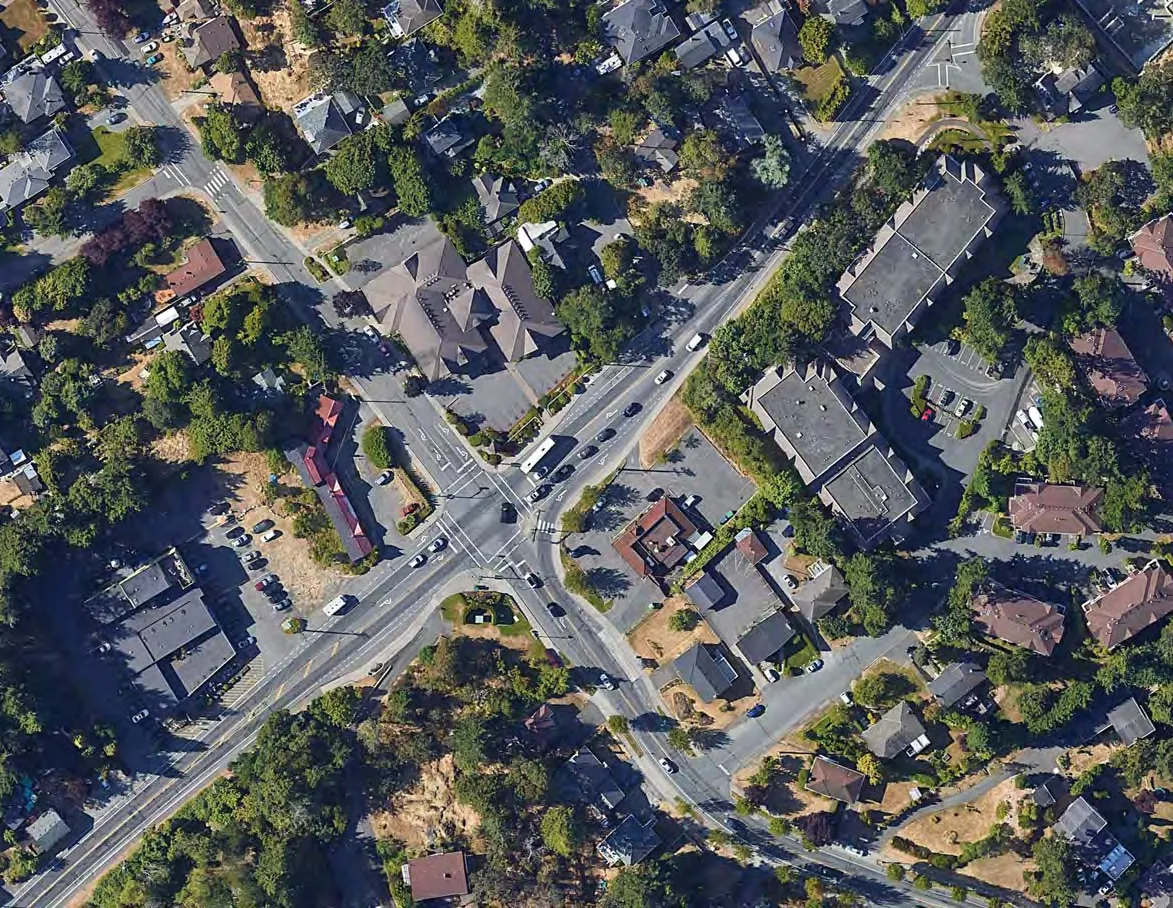
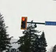
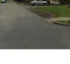
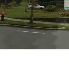
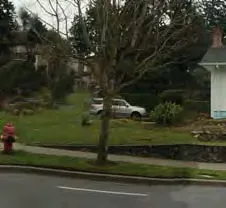
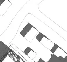
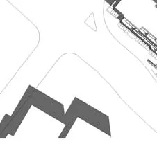
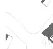
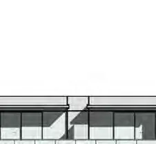
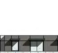
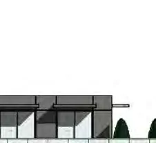
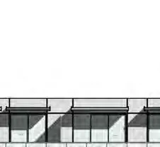
STREETSCAPE
STREETSCAPE
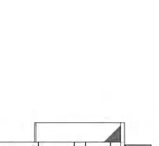
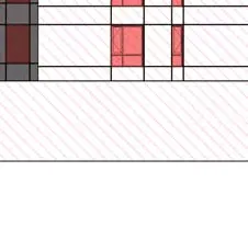
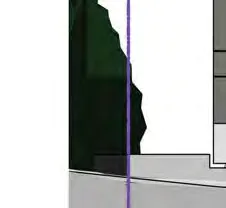
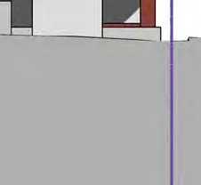
BUILDING CODE DATA
CALCULATION OF SPRINKLERED BLDG EXPOSING BLDG FACE: BCBC 2018 TABLE 3.2.3.1.D
EAST ELEVATION
- LIMITING DIST.: 3.31 m
- WALL AREA: 448.89 m2
- OPENING AREA: 66.32 m2
- ALLOWED %: 24.5%
- PROPOSED %: 15%
- BASED ON BCBC 2018 Table 3.2.3.7
- ALLOWED CONSTR+CLADDING: 1 HR Combust. or Noncombust. constr. + Noncombust. Clad
- PROPOSED CONSTR+CLADDING: 1HR Combust. Constr. + Noncombust. Clad
NORTH ELEVATION
- LIMITING DIST.: 6.3 m
- WALL AREA: 844.0 m2
- OPENING AREA: 317.73 m2
- ALLOWED %: 56.2%
- PROPOSED %: 38%
- BASED ON BCBC 2018 Table 3.2.3.7
- ALLOWED CONSTR+CLADDING: 45 min Combust. or Noncombust. constr. + Combustable or Noncombust. Clad
- PROPOSED CONSTR+CLADDING: 45 min Combust. Constr. + Noncombust. Clad
SHADOW STUDY
SURVEY
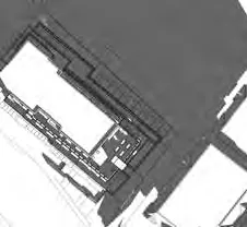
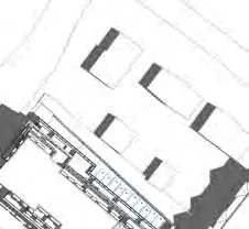
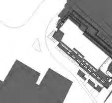
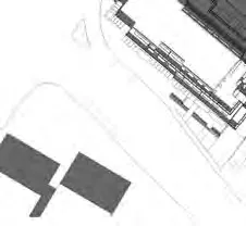
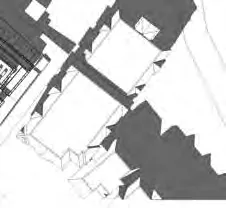
SITE PLAN
PARKING LEVEL - P2 FLOOR PLAN
PARKING LEVEL - P1 FLOOR PLAN
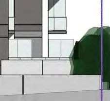
GROUND FLOOR PLAN
LEVEL 2 FLOOR PLAN
LEVEL 3 FLOOR PLAN
LEVEL 4 FLOOR PLAN
LEVEL 5 FLOOR PLAN
LEVEL 6 FLOOR PLAN
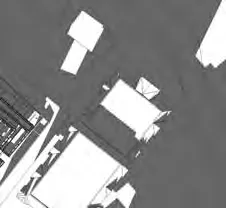
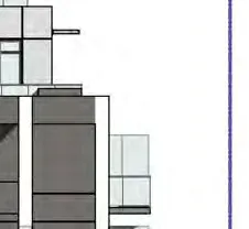
ROOF PLAN
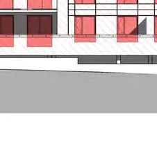
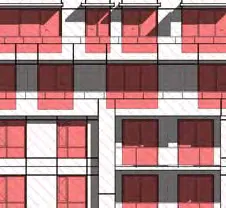
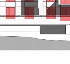
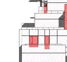
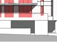
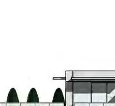
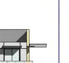
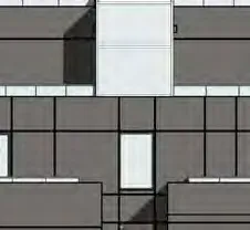
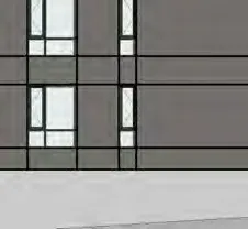
ELEVATION - SOUTH
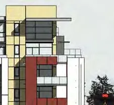
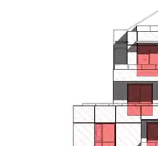
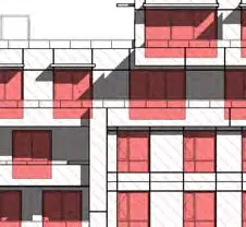
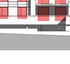
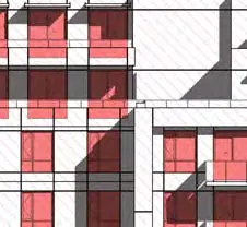
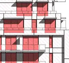
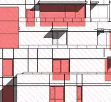
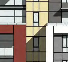
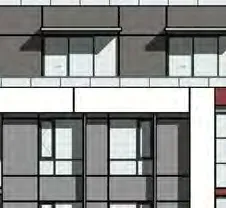
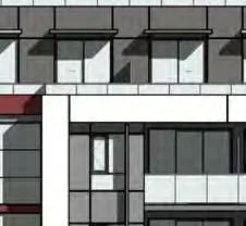
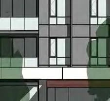
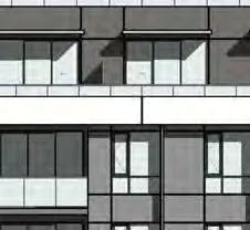
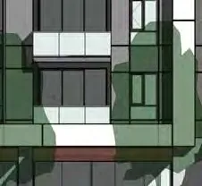
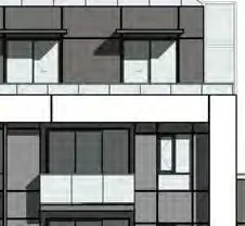
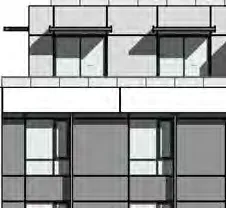
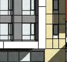
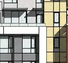
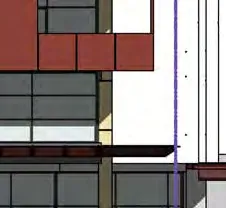
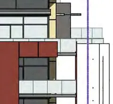
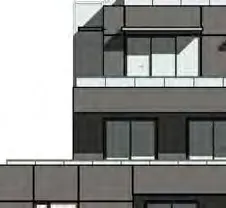
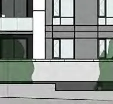
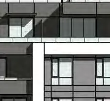
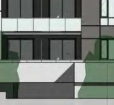
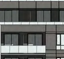
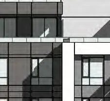
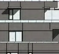
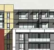
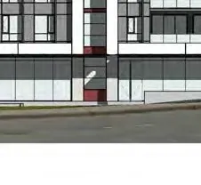
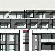
MATERIAL LEGEND
- FIBRE CEMENT PANEL SYSTEMS. COLOR: LIGHT GREY.
- FIBRE CEMENT PANEL SYSTEMS. COLOR: DARK GREY.
- FIBRE CEMENT PANEL SYSTEMS. COLOR: WHITE.
- FIBRE CEMENT PANEL. COLOR: ASH, WOOD TEXTURE.
- FIBER CEMENT PANEL. COLOR: MAHOGANY, WOOD TEXTURE.
- FIBRE CEMENT PANEL SYSTEMS. COLOR: LIGHT BEIGE.
- FABRIC AWNING. COLOUR: RED.
- STOREFRONT GLASS & ALUMINIUM. COLOR: ALUMINUM.
- METAL & AND GLASS GUARD RAIL. COLOR: ALUMINUM.
- VINYL WINDOWS COLOR: CHARCOAL.
- CAST-IN-PLACE CONCRETE.
- ALUMINUM WINDOW. COLOR: CHARCOAL.
- METAL SUNSHADE. COLOR: ALUMINUM.
- WOOD & AND GLASS CANOPY.
- METAL AND GLASS CURTAIN WALL. COLOR: ALUMINUM.
- METAL AND GLASS CURTAIN WALL. COLOR: CHARCOAL.
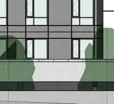
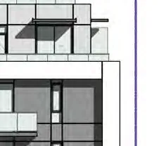
ELEVATION - WEST
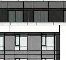
ELEVATION - NORTH
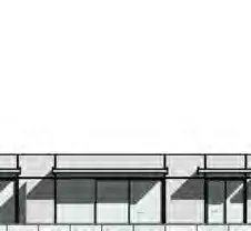
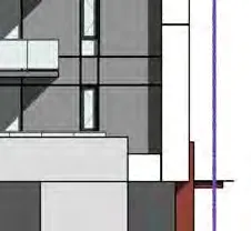
ELEVATION - EAST
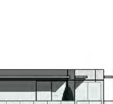
SECTION 1 - EAST & WEST - MAIN RAMP
SECTION 2 - EAST & WEST - STAIR
Document Images
(348)
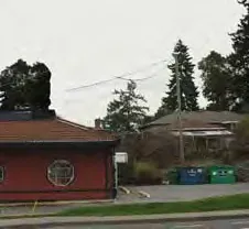
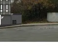
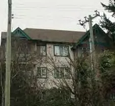
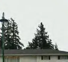
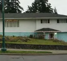
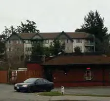
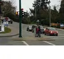
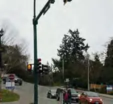
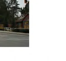
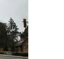
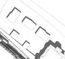
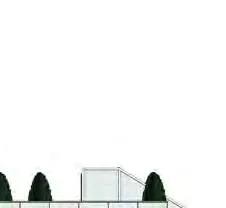
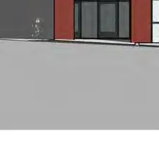
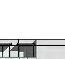
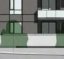
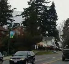
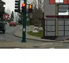
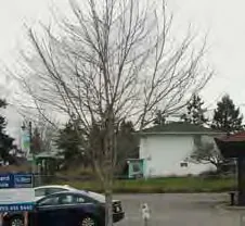
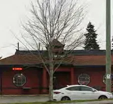
Existing streetscape view along Island Highway

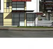
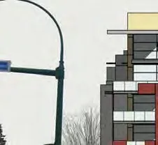
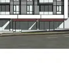
Proposed streetscape rendering along Island Highway

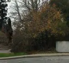
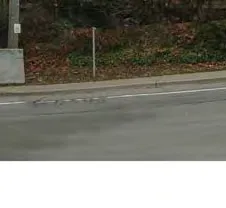
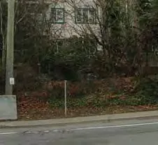
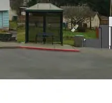
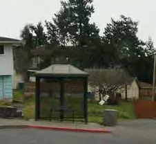
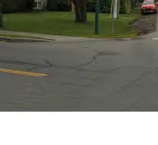
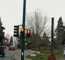
Existing streetscape view along Helmcken Road

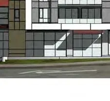
Proposed streetscape rendering along Helmcken Road
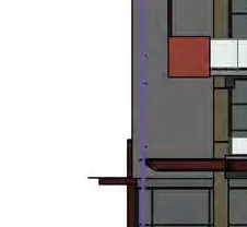
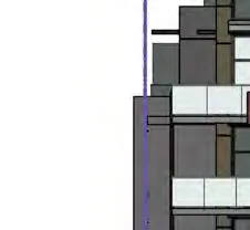
East Elevation - Exposing Building Face diagram

North Elevation - Exposing Building Face diagram

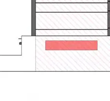
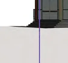
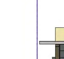
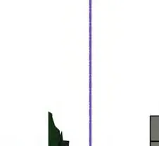
West Elevation - Building Height diagram showing the lowest average grade
Shadow study - June 21, 10 AM
Shadow study - June 21, 12 PM

Shadow study - June 21, 2 PM

Shadow study - March / September 21, 10 AM
Shadow study - March / September 21, 12 PM

Shadow study - March / September 21, 2 PM

Shadow study - December 21, 10 AM
Shadow study - December 21, 12 PM
Shadow study - December 21, 2 PM

Site plan of Lot 1, Section 8, Esquimalt District, Plan 35505 by Glen Mitchell Land Surveying Inc.

Comprehensive site plan showing building footprint, landscaping, property lines, and entrance locations
Floor plan for parking level P2, showing storage, parking stalls 68-94, and electrical room

Floor plan for parking level P1, showing parking stalls 21-67, bicycle stalls, and ramp access

Ground floor plan layout showing 559.31 m2 commercial space, residential lobby, amenity room, electrical room, and parking stalls 1-20
Level 2 Floor plan layout showing Units 201 to 212 and associated roof decks
Level 3 Floor plan layout showing Units 301 to 312 and associated balconies

Level 4 Floor plan layout showing Units 401 to 412 and associated balconies

Level 5 Floor plan layout showing Units 501 to 511 and associated balconies and roof decks

Level 6 Floor plan layout showing Units 601 to 607 and common amenity roof deck area
Roof plan showing elevator overruns and various roof levels

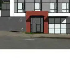
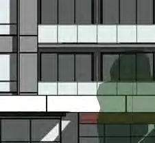
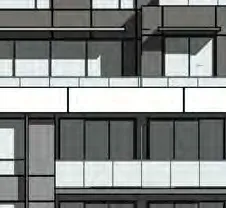
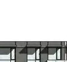
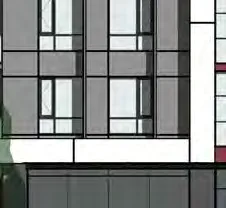
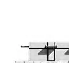
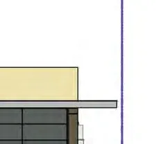
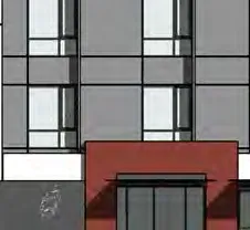
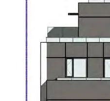
South Elevation architectural drawing with material callouts

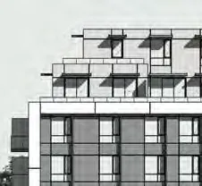
West Elevation architectural drawing with material callouts
North Elevation architectural drawing with material callouts
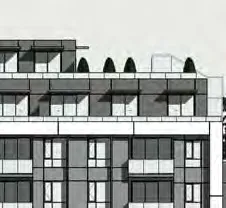
East Elevation architectural drawing with material callouts

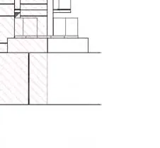
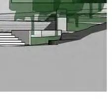
Building cross-section through the electrical room, ramp, and storage areas

Building cross-section through the residential lobby, garage, and exit stairs