Attachment 3: Nine Erskine Lane View Royal - Council Meeting Presentation
Visual presentation materials regarding the development concept at 9 Erskine Lane, including design rationale, site sections, and tree management plans.
Nine Erskine Lane
View Royal - Council Meeting June 16, 2020
Contents
- Developer/Owner Overview
- Introduction
- Site context
- Planning Framework:
- OCP - Land Use Designation
- OCP - Development Objectives
- Public Consultation
- Traffic Study
- Design considerations
- Architectural Schematics
- Landscape Architecture Schematics
- Benefits
Developer/Owner Overview
Fully Integrated Company
- We plan, build and manage
Specializes in Purposed Built Rentals and Complex Developments Sites
- Redevelops underutilized urban infill lands to increase residential density and rental inventory in locations with existing infrastructure
Vancouver Island Based
- Head office in Campbell River
- Owners and staff are Vancouver Island residents
Introduction
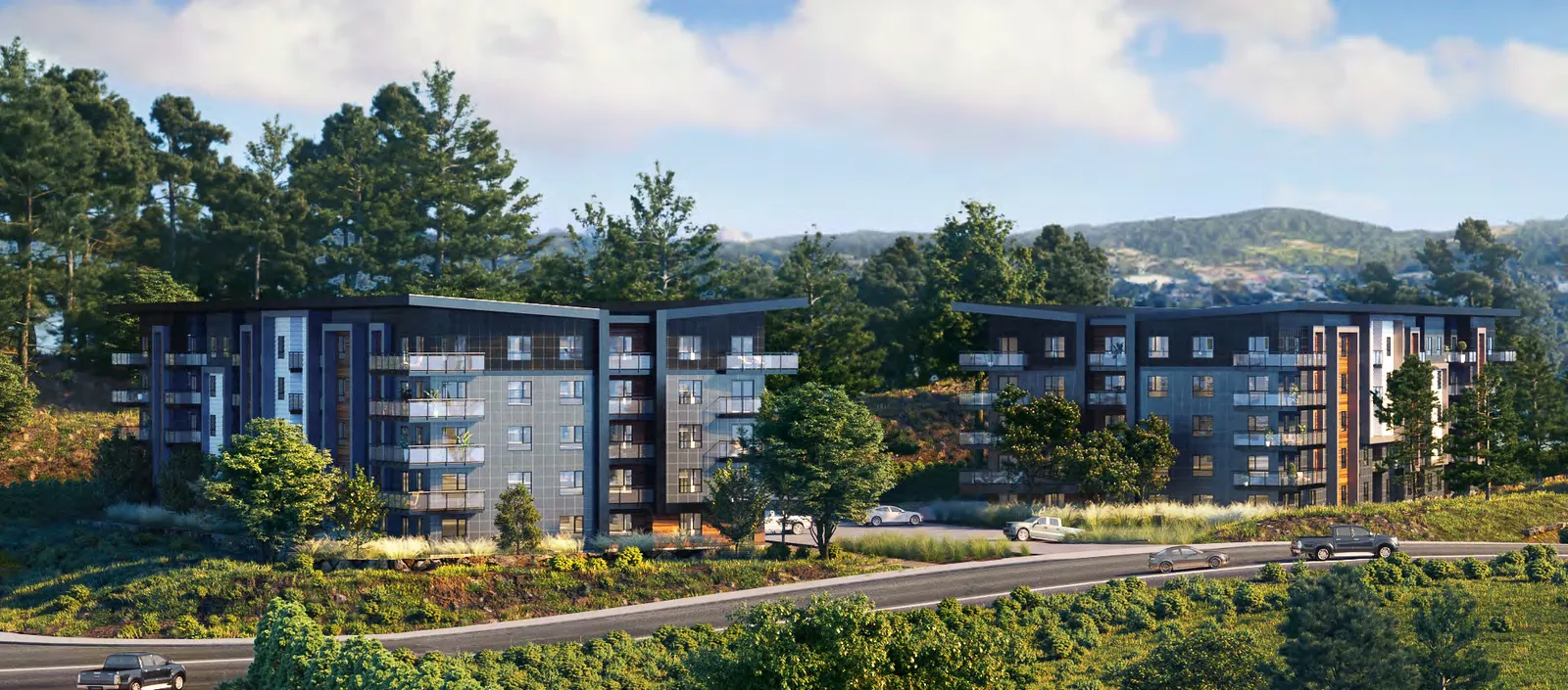
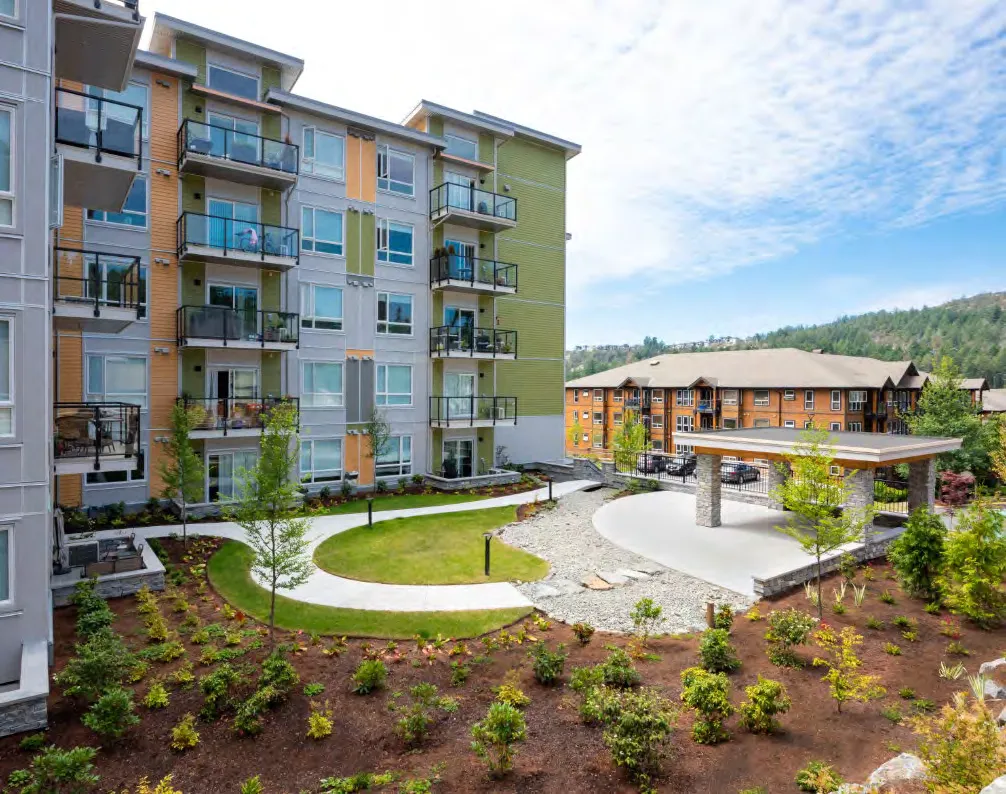
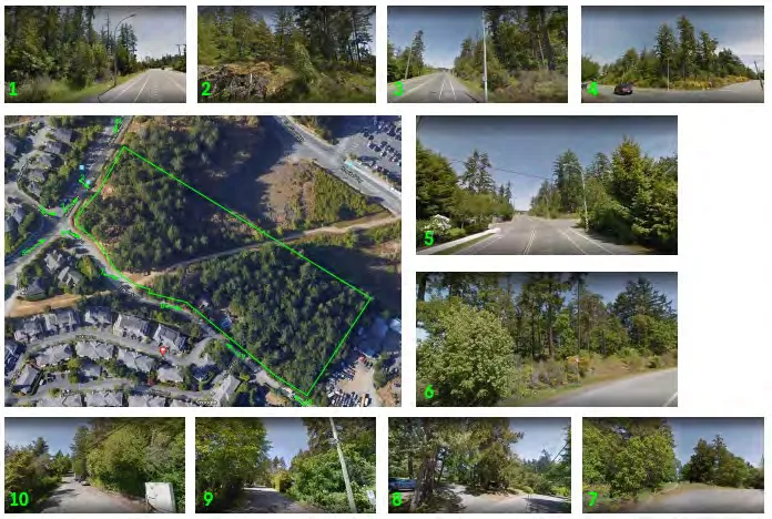
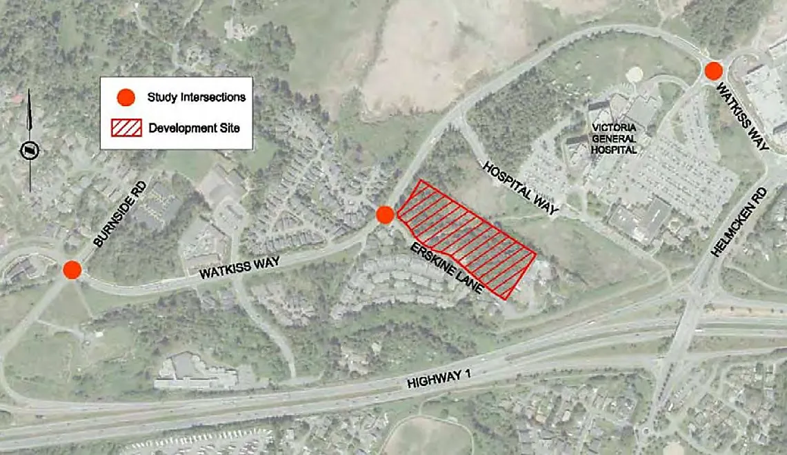
9 Erskine Lane is located at the corner of Watkiss way and Erskine Lane, in the Township of View Royal. This site is designated in the Official Community Plan (OCP) for Mixed Residential Use with up to 1.6 Floor Area Ratio (FAR). Having this site next to one of View Royals largest employment centres being Victoria General Hospital and within walking distance to the services and amenities offered at Eagle Creek Village, this property is well equipped to redevelop to permit multi-family use.
The planning framework for this developments conforms with the View Royal OCP.
The development of Erskine Lane will result in the contribution of approximately $1.3 million to the Town of View Royal as a Community Amenity Contribution, this contribution could be used for a variety of amenities that serve the View Royal community as a whole.
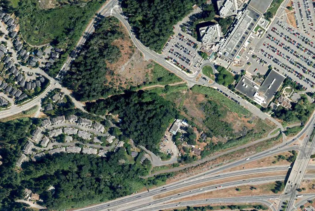
Site Context
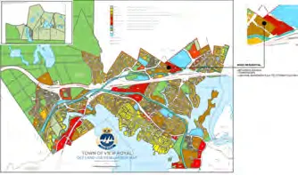
- Designated as M-R: Mixed Residential
- Allows up to 4 storeys and 1.6 FAR for apartment dwellings.
Neighbourhood Context
- Directly across from Victoria General Hospital
- Multi-unit residential and detached residential used to the West and North of the property
- Close proximity to local shops, services and amenities offered at Eagle Creek Village
- Close proximity to Galloping Goose Regional Trail
Regional Context
- Short distance to CFB Esquimalt Naval Base
- Close proximity to schools, and university's
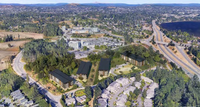
Planning Framework
Official Community Plan
- Land Use Designation
- Development Objectives
Public Consultation
- Community input, concerns related to traffic, public safety, privacy and parking to ensure the development benefits the community
Traffic Study
- A traffic impact study to identify and understand challenges related to the development and current traffic conditions
Design Considerations
- Site context, Stormwater Management, Grading, Program

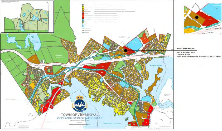
OCP – Land use Designation
Mixed Residential:
- Detached houses
- Townhouses
- Low-rise Apartments (up to 4 storeys/1.6 FAR)
OCP – Development Objectives
“Well-designed compact housing ensures choice, affordability and better use of land. Infill and redevelopment near neighbourhood centres and transit corridors provides jobs and services closer to where people live – minimizing the need for commuting, and creating pedestrian-friendly streets and destinations.” – View Royal OCP
Proposed Project Supports OCP
| OCP Objective | Proposed Project Response |
|---|---|
| Expand the diversity and affordability of housing options | Proposed project provides a mix of studio, 1-, 2-, and 3- bedroom apartments, expanding local housing by 372 fixed market-rate rental units |
| Increase density in neighbourhood cores | Proposed project within area defined in OCP as Hospital Neighbourhood core |
| Minimize need for commuting from View Royal | Increase housing adjacent to VGH, one of Vancouver Island’s largest employers |
| More efficient use of land | Redevelopment of isolated single home to well-designed compact housing |
| Thoughtfully planned and placed infill | Compliments existing neighborhood character, located between existing three storey townhomes and land zoned for commercial centre adjacent to hospital |
| Climate Action – decreased auto-dependency | Proposed location is <10 minutes walk to work, shopping, school and parks; secure bicycle storage will be provided for residents |
| Climate Action - links to alternative transportation | Proposed location is extremely close to local bus transport, planned regional rapid transport stop, and galloping goose bike trail |
| Create pedestrian-friendly streets and destinations | Proposed project incorporates park-like, pedestrian-focused landscaping, with underground parkades to minimize surface parking |
Public Consultation
- Hosted open houses on:
- January 27th, 2020
- March 4th, 2020
- Met with neighbouring strata president, daycare owner, and neighbors
- Door to door campaign canvassed Erskine Lane, Stoneridge Drive, and Eagle Creek Village

Community Feedback
Likes:
- Overall design of the buildings
- Support for three bedroom apartments for families
- Support for more housing
- Underdeveloped property that lacked development
Concerns:
- Increased volume of traffic on Erskine lane
- No sidewalks or street lights on Erskine Lane
- Traffic at Erskine Lane and Watkins Way
- Privacy of neighbouring houses
- Parking for tenants and visitors
Traffic Study
Watt Consulting Group completed a Traffic Impact Study for this development. The following points summarizes their key recommendations:
- The developer will provide a sidewalk along the Erskine Lane and Watkiss Way development frontages.
- The developer to implement TDM strategies (car share vehicles (2) and electric bicycle share (2)) to reduce vehicle traffic and encourage active modes.
- The developer to provide a left turn lane on Watkiss Way at Erskine Lane.
- The developer to contribute towards the signalization of Erskine Lane / Watkiss Way.
- The developer to provide funds for upgrading the Hospital trail to at least a 3m gravel pathway.
- The Town should work with the CRD to determine and acceptable arrangement for the implementation of the formal gravel trail on the CRD’s right-of-way (known as Hospital trail).


Design Considerations
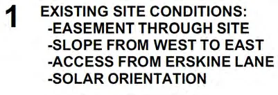
SITE CONTEXT
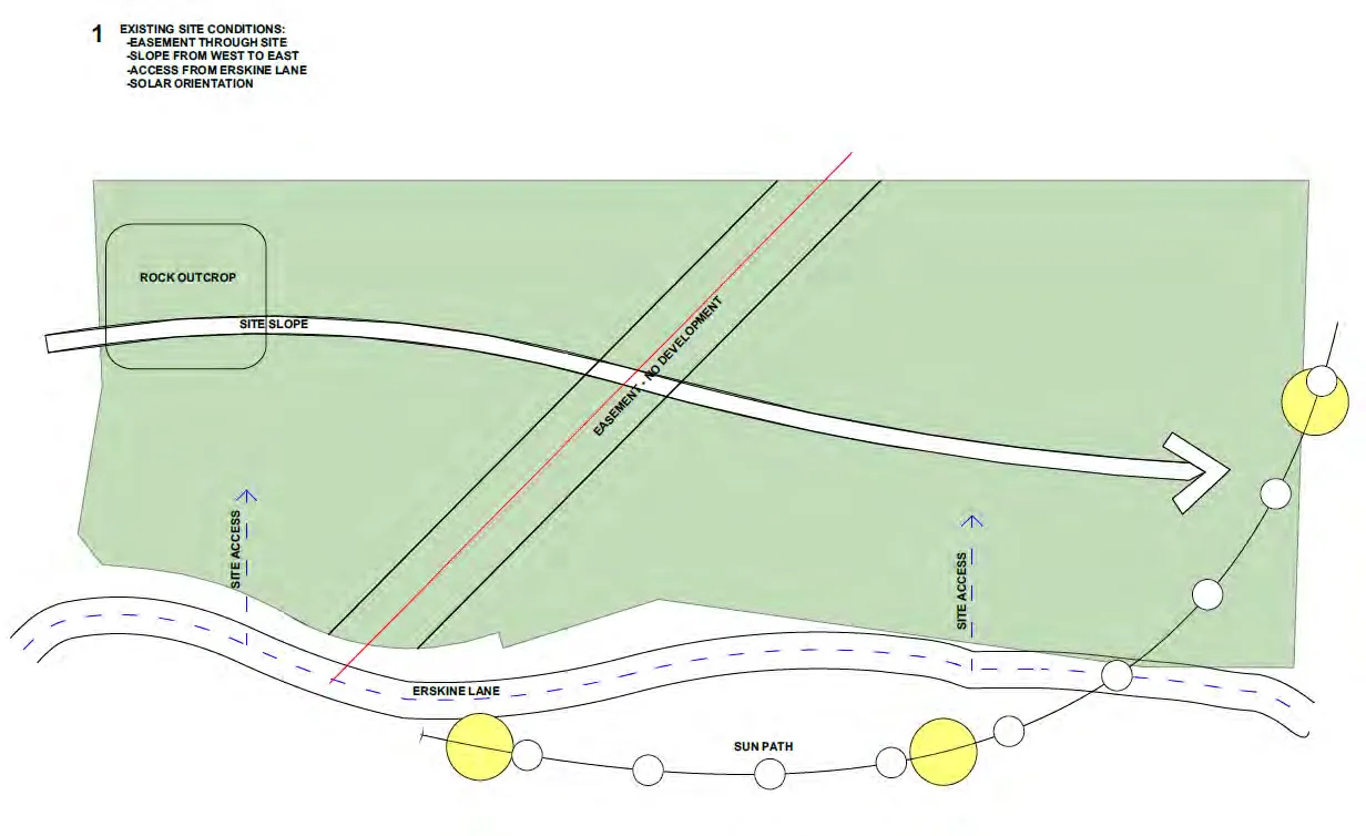
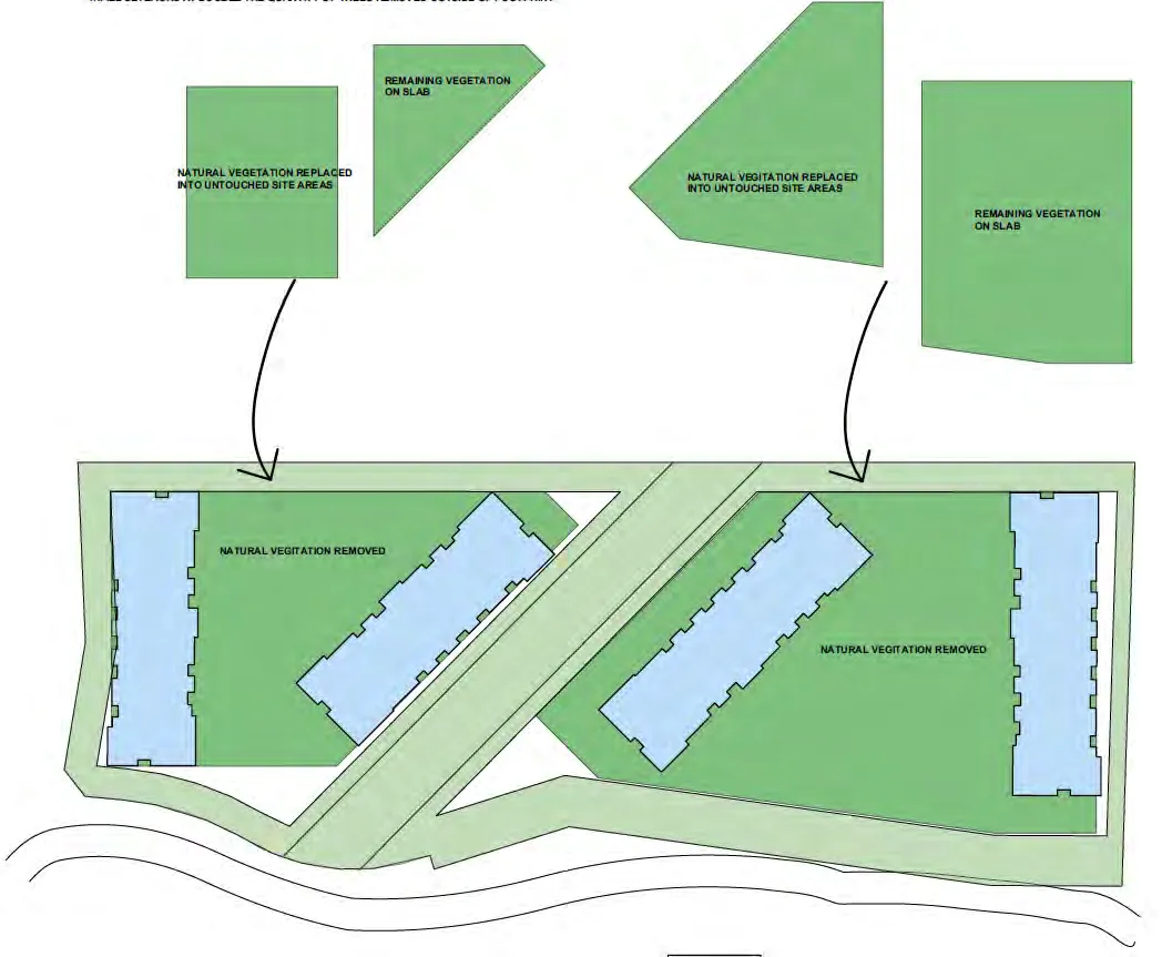
- The existing landscape informed the site design as retention of existing vegetation and site features were of utmost importance.
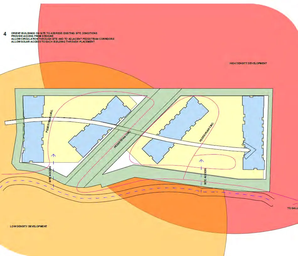
- adjacent neighbouring developments where considered for their form and character and relationships to proposed building locations on site, as well as access points along Erskine Lane.
- Site circulation for vehicular movement (surface and underground), pedestrian access and outdoor amenity space all have been designed to facilitate a fluid movement through the site.
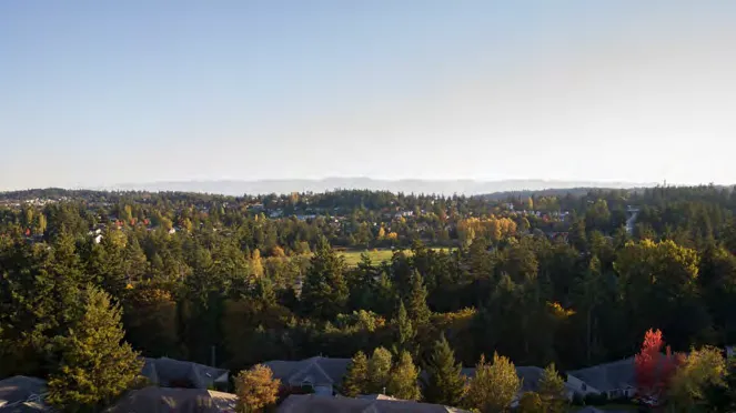
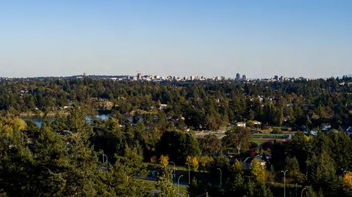
- Views to Portage Inlet and downtown View Royal were considered.
STORMWATER MANAGEMENT
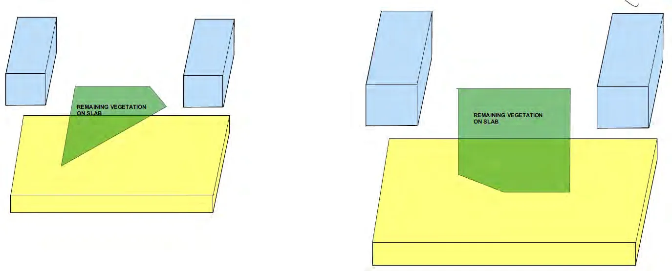
- Stormwater runoff from within the surface of the parkade slabs, including the landscaped area, buildings and surface parking, will be collected for onsite irrigation use where possible, with the remainder stored in detention tanks within the parkades to ensure post development peak flows do not exceed pre development.
- Retention of existing vegetation outside of the parkade slabs as much as possible will allow these areas to mimic pre development runoff rates.
- Vegetated swales will be provided outside of the parkade slabs as required to ensure safe overland flow paths as well as to promote infiltration of runoff from smaller events
GRADING
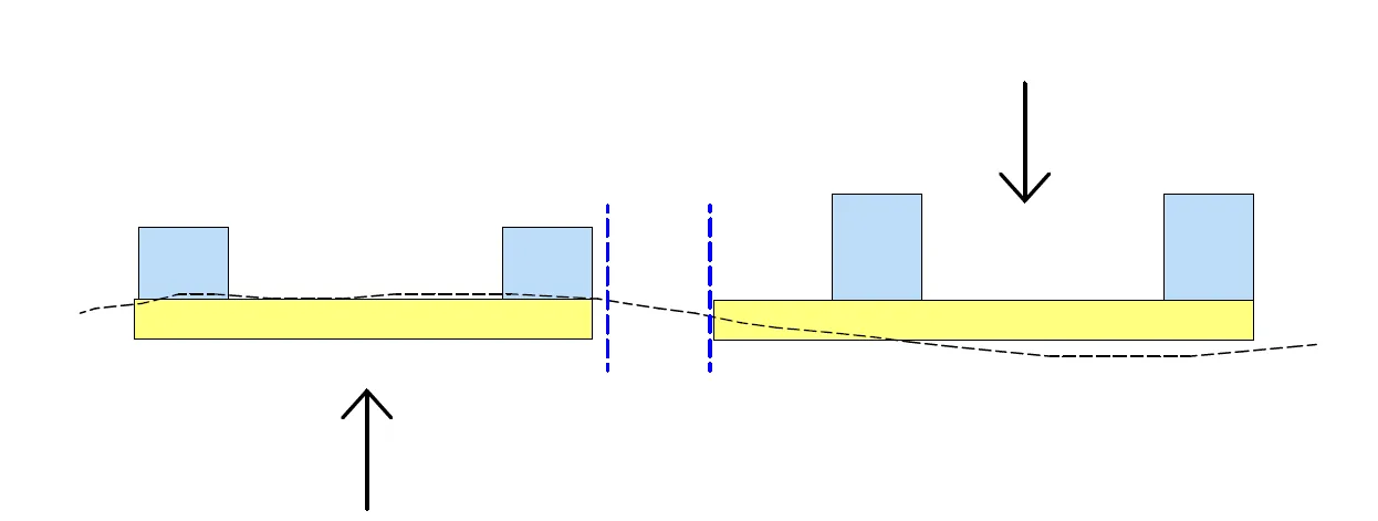
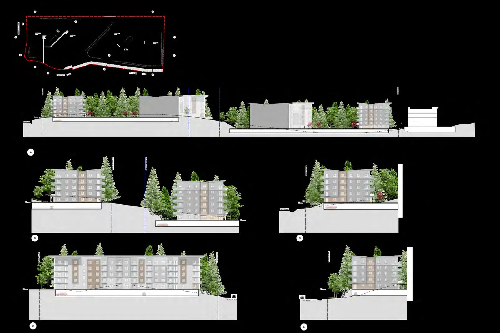
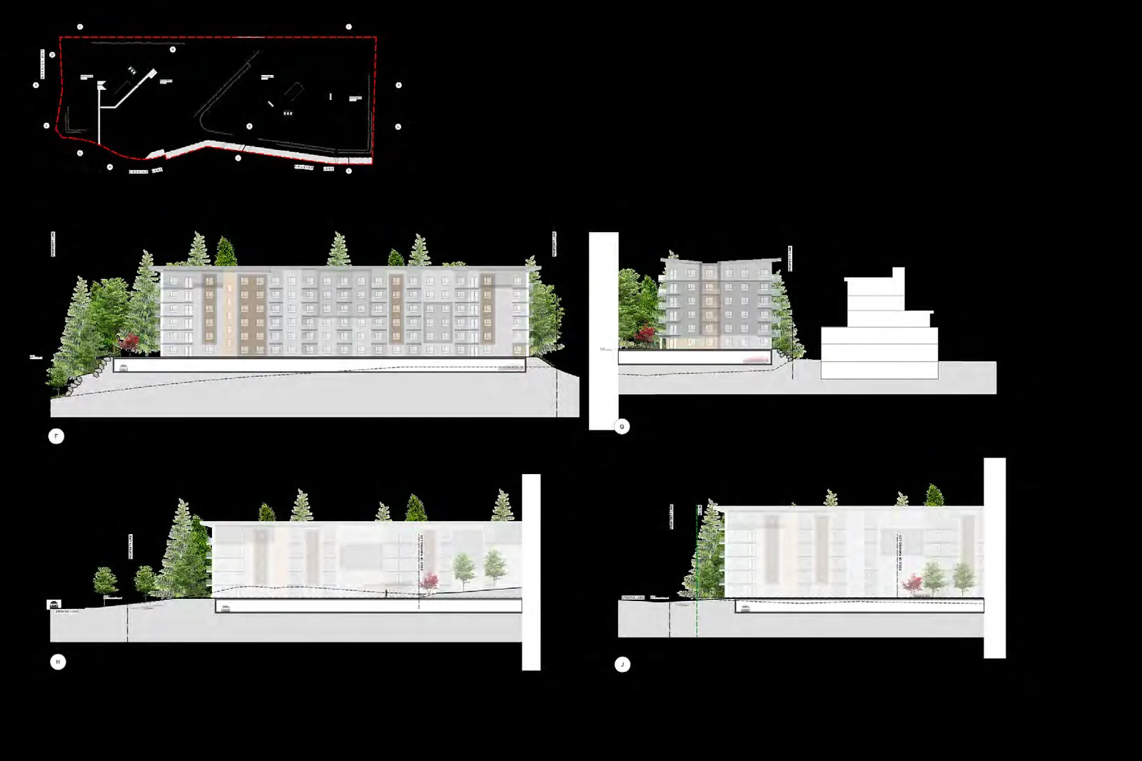
- Steep existing grades (Erskine) with rock outcroppings
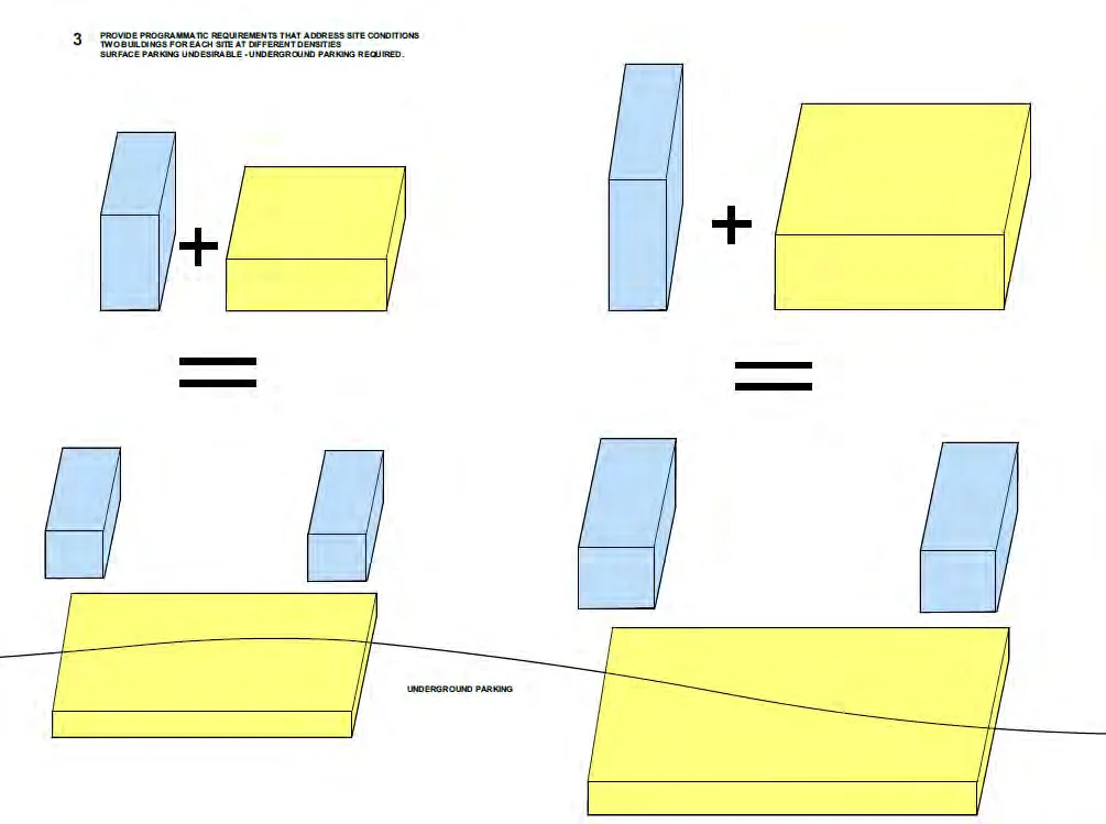
- Consideration of screening underground parkade.
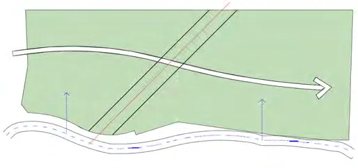
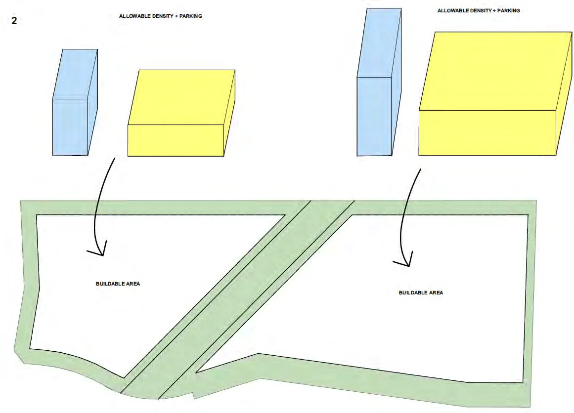
- Waterline easement between properties informed the building geodetic elevations along with access from Erskine.
PROGRAM
- Range of unit typologies required (studio - 3bedrooms)
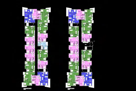
- Lot A and B to have varying densities (5-6 storey)
- Feasibility of development dependant on number of units vs. development costs
Design Rationale
Project Design
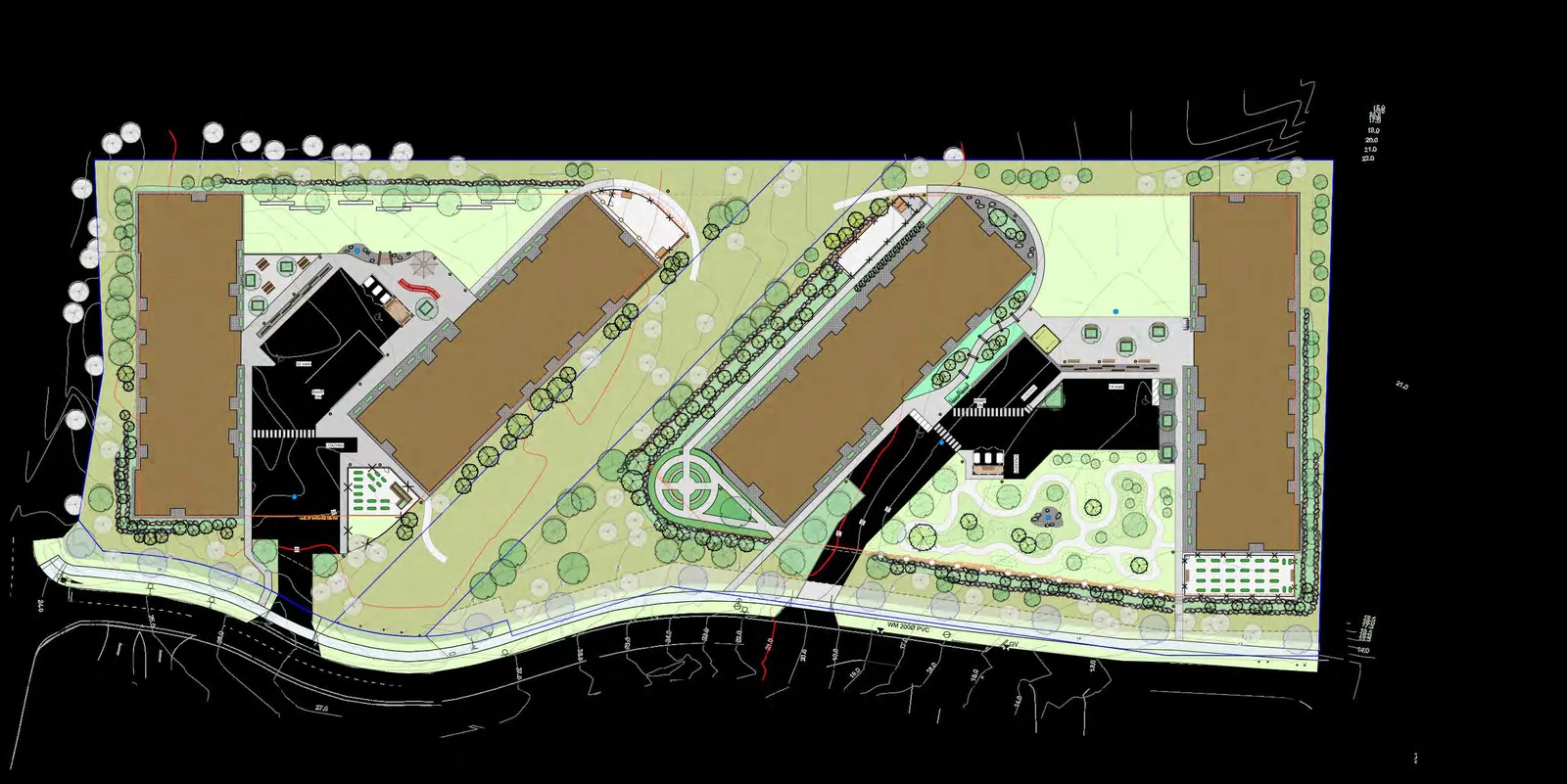
DEVELOPMENT DATA
LOT A
- 158 units
- FAR 1.44
- two 5 storey buildings
- 29% lot coverage
- 208 parking stalls
LOT B
- 214 units
- FAR 1.27
- two 6 storey buildings
- 21% lot coverage
- 279 parking stalls
Site Sections
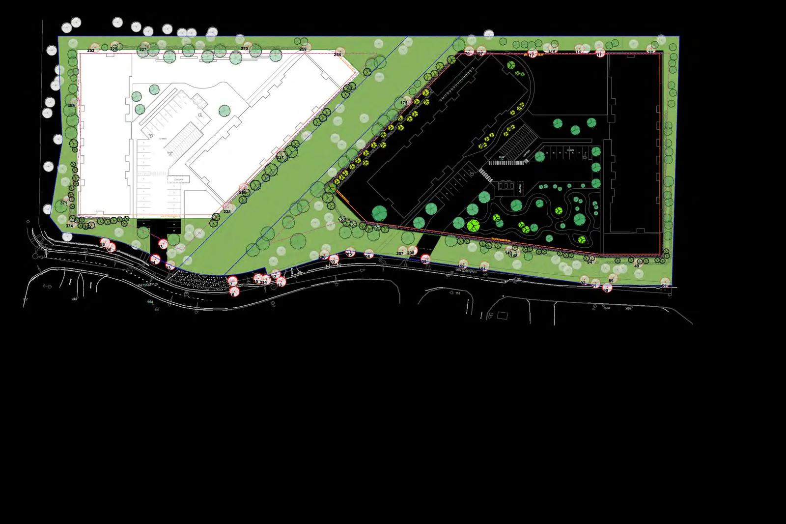
Tree Management
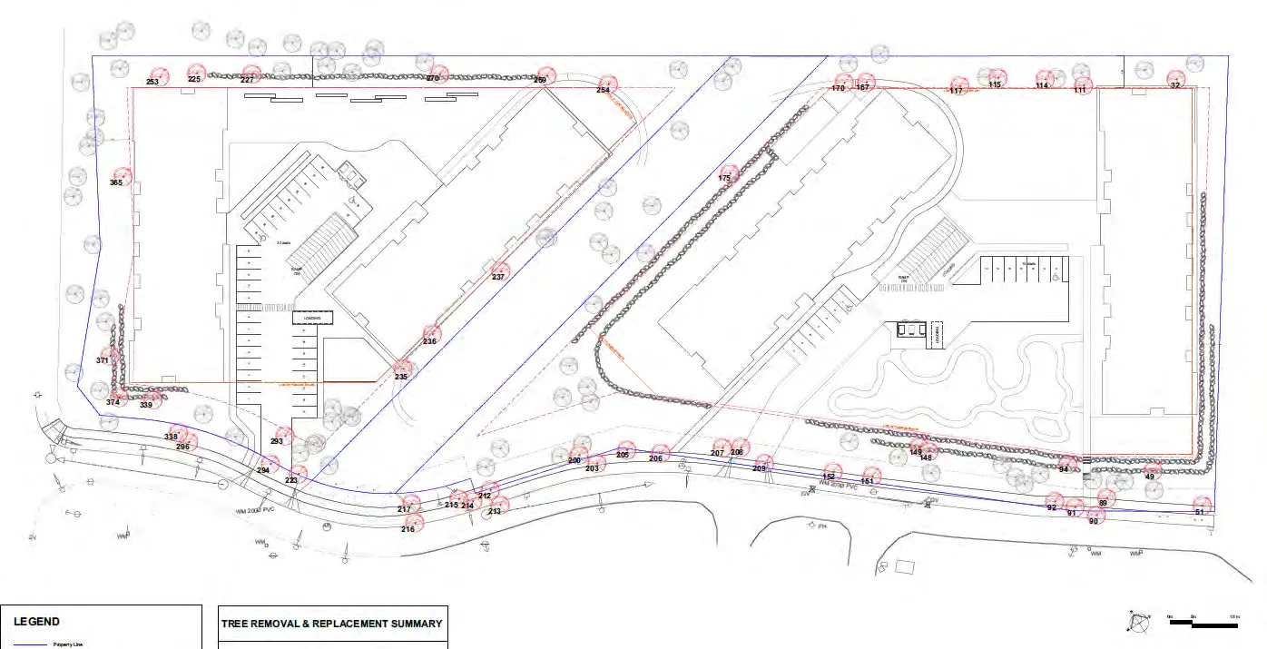
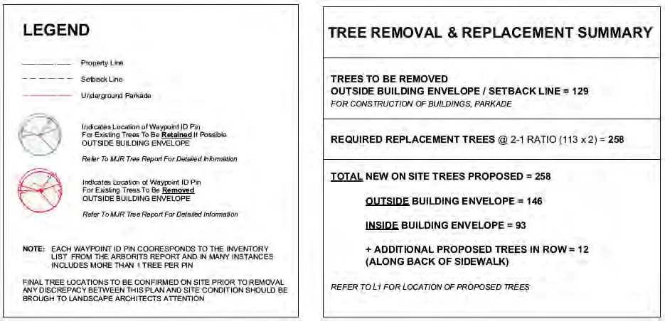
TREE REMOVAL & REPLACEMENT SUMMARY
| Metric | Quantity |
|---|---|
| TREES TO BE REMOVED (OUTSIDE BUILDING ENVELOPE / SETBACK LINE) | 129 |
| REQUIRED REPLACEMENT TREES @ 2-1 RATIO (113 x 2) | 258 |
| TOTAL NEW ON SITE TREES PROPOSED | 258 |
| - OUTSIDE BUILDING ENVELOPE | 146 |
| - INSIDE BUILDING ENVELOPE | 93 |
| - ADDITIONAL PROPOSED TREES IN ROW (ALONG BACK OF SIDEWALK) | 12 |
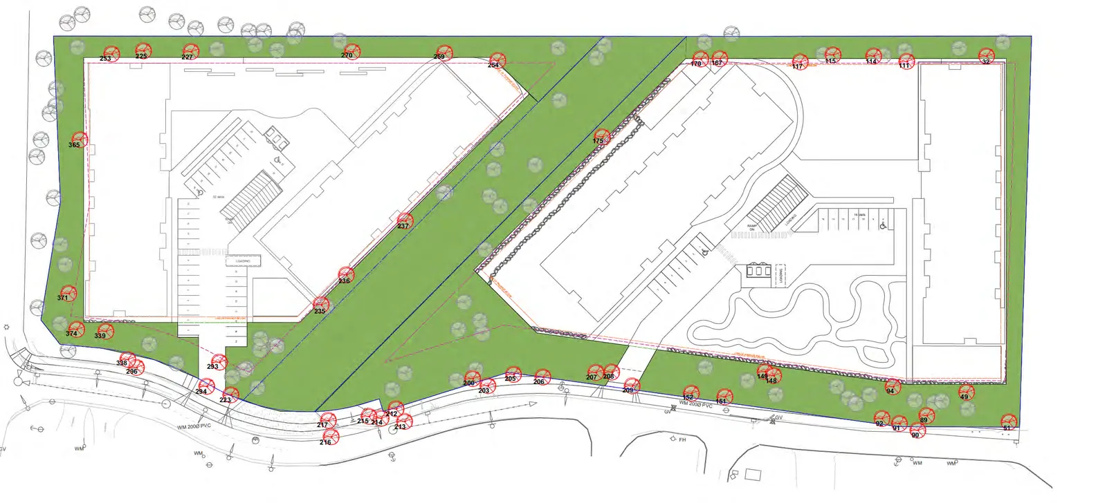
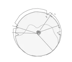
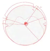
Tree Diagram