Environmental Overview - 9 Erskine Lane, View Royal BC (PID 002-364-531)
An environmental assessment of the 2.14-hectare property at 9 Erskine Lane identifying sensitive ecosystems, mature forests, and potential wildlife nesting sites.
November 18, 2019
EDI Project No: 19N0375
WestUrban Developments Ltd. 1-1170 Shoppers Row Campbell River, BC V9W 2C8
Attention: Frank Limshue, Development Manager
RE: Environmental Overview 9 Erskine Lane, View Royal BC (PID 002-364-531)
EDI Environmental Dynamics Inc. (EDI) was retained by WestUrban Developments Ltd. (WestUrban) to provide an environmental overview as part of a rezoning application at the above-noted address. While the site is not within the local government’s environmental development permit areas, it is largely forested, and so View Royal requested that the site be assessed by a Qualified Environmental Professional. This overview involved a brief background information review and a site assessment. Prior to the field assessment, the background review identified known sensitive features on or near the site, using available web maps (CRD, Habitat Wizard, iMapBC, SHIM, Wildlife Tree Stewardship Atlas, etc.). The site assessment was completed on September 27th of this year under favourable weather conditions and with full access to traverse the property. The focus was on identifying or broadly classifying:
- overall ecosystem type and cover
- sensitive ecosystems and features
- larger trees and potential for heron/raptor or other stick nests
- streams and wetlands
As a follow up to the initial site visit an assessment was conducted on November 13th to determine the presence of heron, raptor and other stick nests of concern. The assessment involved a detailed search of all suitable nest trees on the property.
The findings of the background review and field assessment are summarized in this letter.
Preliminary Development Plan
Currently, the 2.14-hectare property is zoned Rural (A-1) and the development plan would require rezoning to Comprehensive Development (CD) based on Mixed Residential (RM-3). A 15 m wide parcel owned by the Capital Regional District bisects the property into northern and southern sections in an approximate 60/40 split. The preliminary development proposal is to construct 372 rental apartment units in two five-storey buildings on the north portion and two six-storey buildings on the south portion, both with above and below ground parking (see attached site plan). While the proposed building footprints would cover about 25% of the total lot area, the total development footprint including access roads, parking and landscaped areas between buildings and paved surfaces would cover at least 59% of the property (1.27 ha, not including buffers around buildings for construction and walkways, or broader landscaped areas).
Background Review
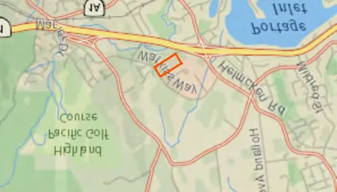
Located in the lower Craigflower Creek watershed, the site is about 1.2 km upstream of the Gorge Waterway (Portage Inlet), 140 m northeast of Craigflower Creek. It is in the coastal Douglas-fir moist maritime (CDFmm) biogeoclimatic zone, in which many terrestrial ecosystems are considered at risk—including all old forest. These ecosystems are at risk because of their limited range and since most of the developed area on Vancouver Island falls within that range, there is little mature and old forest remaining. Overall, the property is gently sloping with a southern aspect and elevations ranging from 14 m above sea level at the south corner to 33 m at the north edge.
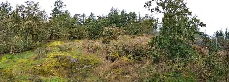
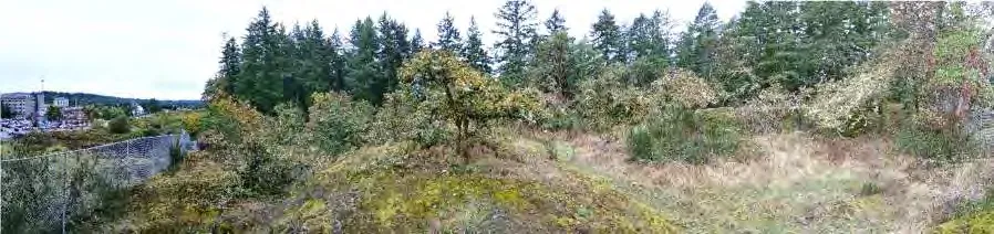
Terrestrial ecosystem mapping (TEM) completed in 2009 at a scale of 1:20,000 provides full coverage of the property. The site is represented by two TEM polygons—roughly covering the northern and southern halves. The northern half was classified as 80% Garry oak—Brome broadleaf woodland with very shallow soils (< 20 cm to bedrock) and 20% Cladina—Wallace’s selaginella moss and lichen-covered rock outcrops with warm aspects (TEM code: 8 QB [00] v 5b/ 2 SC [00] 1b). The southern half was mapped as 100% Douglas-fir—Salal young forest (TEM code: 10 DS [01] 5).
A 1.3-hectare woodland was mapped by the 1997 Sensitive Ecosystems Inventory (SEI) at a scale of 1:20,000, about 170 m northwest of the site. Based on current imagery, this woodland appears to be mostly intact apart from one single-family lot, and it is surrounded by residential development to the south and agricultural land to the north. This area was mapped by TEM as Garry oak—Brome broadleaf woodland. Between the SEI woodland and the subject property, there is a mapped shrub swamp and open water wetland known as Stoneridge Wetland Park.
The CRD web map identified the ditch along Watkiss Way as a watercourse; however, its potential connection to fish habitat could not be determined from the map. No other notable watercourses, raptor or heron nests, rare plant or animal species or sensitive features were identified on or adjacent to the property during the background information review.
Site Assessment
Terrestrial Ecosystems
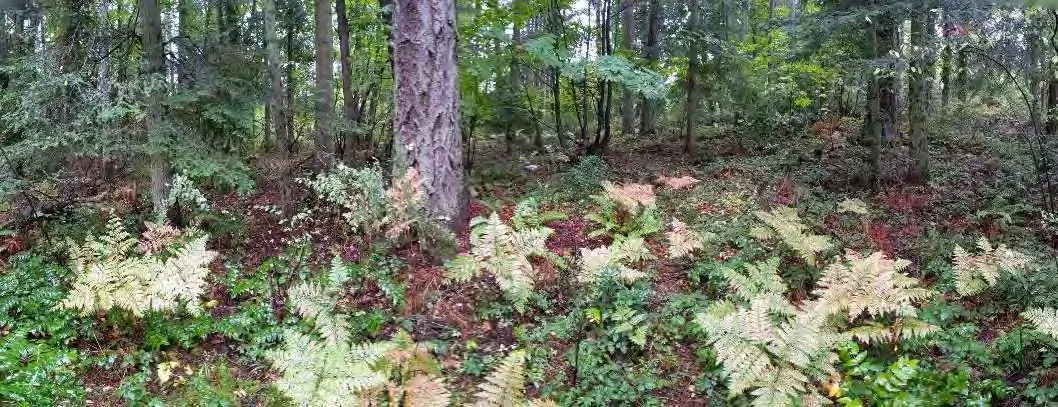
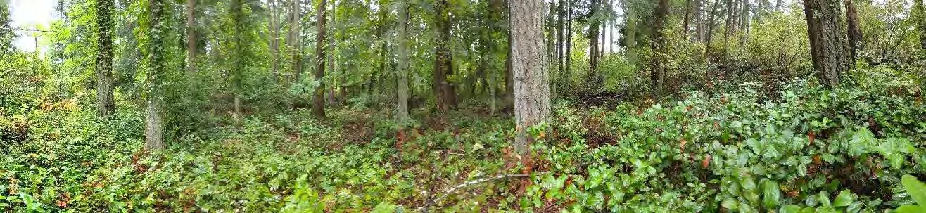
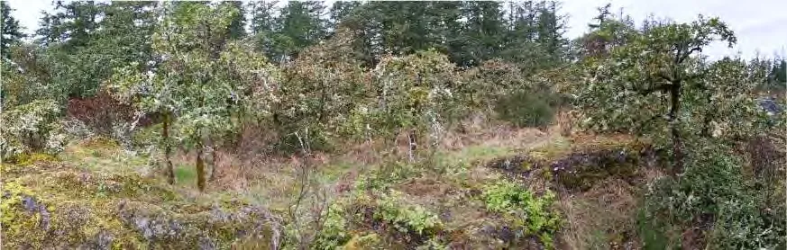
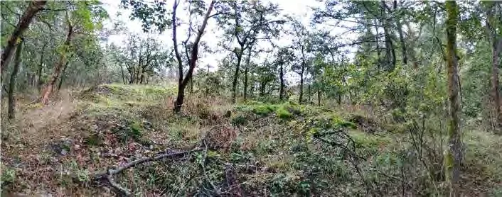
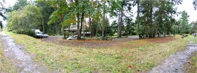
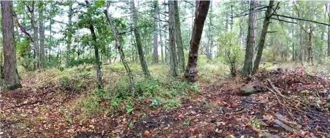
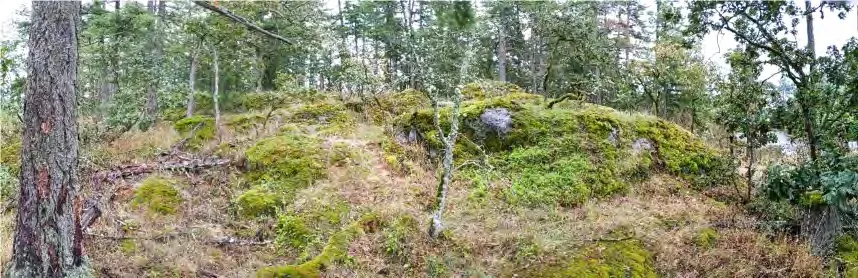
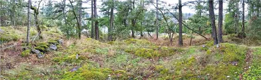
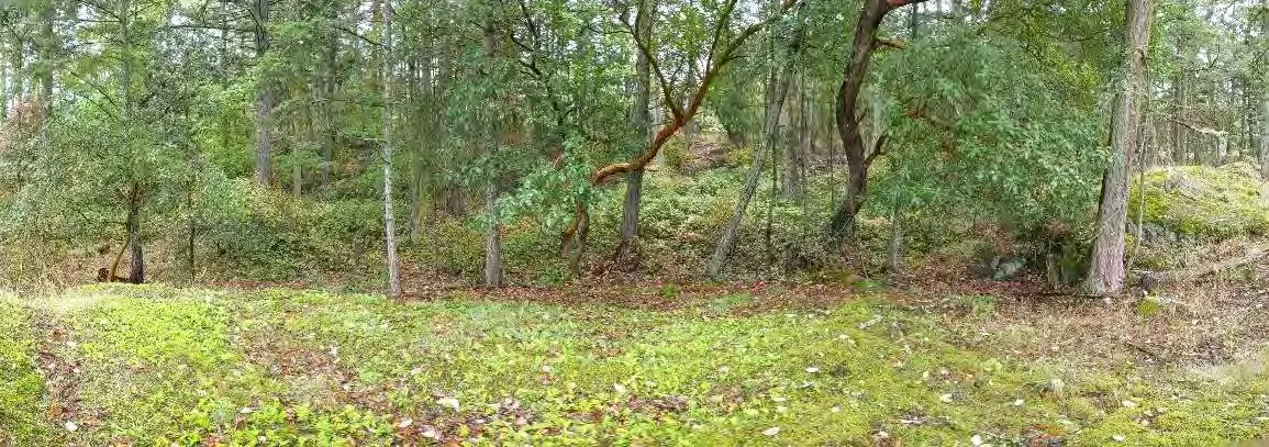
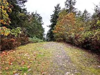
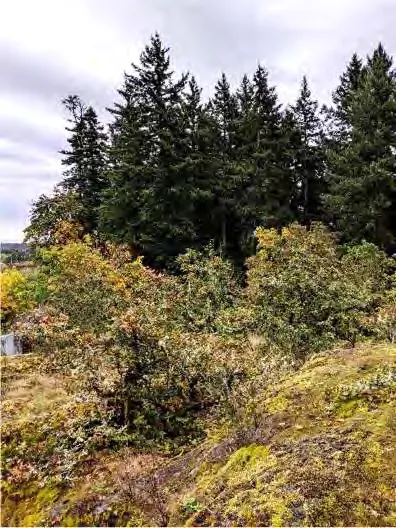
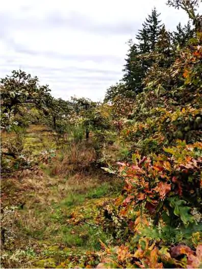
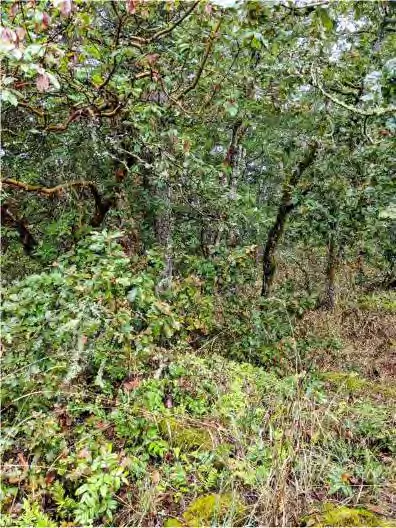
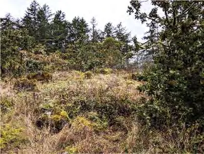
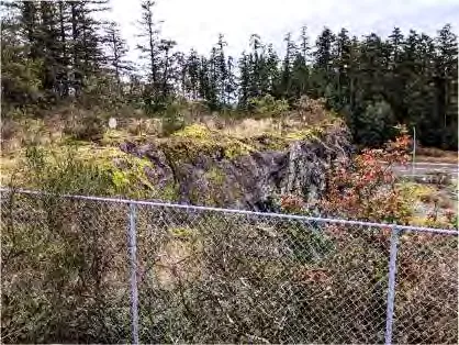
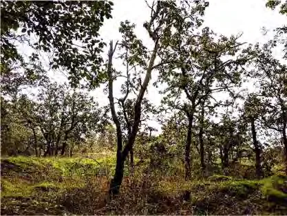
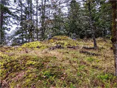
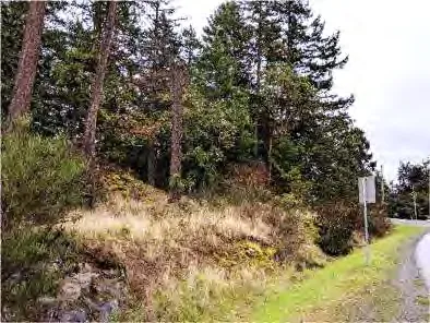
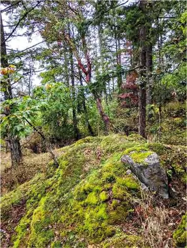
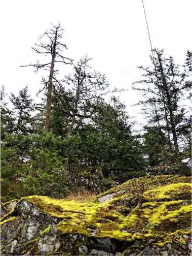
About 1.53 hectares (71%) of the property is covered by mature Douglas-fir forest. Garry oak woodland occurs in the northern half, covering 0.29 hectares. There is also a mixed woodland covering 630 m² at the north end of the site. There is a single-family residence, garden area and pool located at the west edge of the parcel, including a driveway and parking area surrounded by mature coniferous trees (0.21 ha). Brief summaries of the vegetation communities on the property, their TEM classification, and their coverage of the site, are provided in the table on the following page. Also, see the site plan and photos attached.
Vegetation Communities on the Property
| Area | Vegetation Description | TEM Site Series Description | TEM Map Code | Site Coverage (m² and %) |
|---|---|---|---|---|
| South Corner | • Partially open (~70% closure) multi-age mixed canopy of young and mature Douglas-fir, with a secondary component of bigleaf maple, and minor component of grand fir. • Some of the tree trunks are nearly overgrown with English ivy. • Fairly dense understory (>70% cover) of ocean spray, Indian plum, baldhip rose, snowberry, bracken, salal, tall and low Oregon grape, trailing blackberry, and swordfern. • Occasional Daphne, holly, and English hawthorn. |
50% Douglas-fir—Salal Mature Forest 50% Douglas-fir/Grand fir—Oregon-grape Mature Forest |
5 DS [01] 6 5 DG [04] 6 |
10,745 m² 50% |
| Southeast Corner | • As above but with a greater proportion of grand fir, a relatively sparse shrub layer, and several larger trees (two Douglas-fir measured at 97 cm DBH). | |||
| North Corner | • Partially open (~70% closure) canopy of mature Douglas-fir with a few arbutus, maple, Garry oak, and grand fir. • Understory dominated by ocean spray, salal, bracken fern, tall Oregon grape, and trailing blackberry, with the occasional Pacific crabapple and willow. |
50% Douglas-fir—Salal Mature Forest 50% Douglas-fir—Arbutus Mature Forest |
5 DS [01] 6 5 DA [02] 6 |
5,029 m² 23% |
| North Central | • Partially open multi-aged mixed canopy of young and mature Douglas-fir with arbutus, Garry Oak and bigleaf maple. • Salal-dominated understory with ocean spray, baldhip rose, Saskatoon, tall Oregon grape, snowberry and trailing blackberry. Some Daphne. |
|||
| Northwest Corner | • Garry oak woodland • Mixed woodland |
60% Garry-oak—Moss Woodland 40% Douglas-fir—Arbutus Mature Forest |
6 OM [00] v 3b 4 DA [02] 6 |
452 m² 2% |
| 60% Douglas-fir—Arbutus Mature Forest 40% Garry-oak—Moss Woodland |
6 DA [02] 6 4 OM [00] v 3b |
634 m² 3% |
||
| Northeast Edge | • Garry oak woodland • Himalayan blackberry along the edge of the right of way |
90% Garry-oak—Moss Woodland 10% Douglas-fir—Arbutus Mature Forest |
9 OM [00] v 3b 1 DA [02] 6 |
2,492 m² 12% |
| Rural | • Existing rural land use, including a single-family home, landscaped garden area, pool, driveway and parking area. | 80% Rural 20% Douglas-fir—Salal Mature Forest |
8 RW 2 DS [01] 6 |
2,120 m² 10% |
Although the patch sizes are small, the woodlands on this property are classified as sensitive ecosystems and the forest is considered an important ecosystem by the Standard for Mapping Ecosystems at Risk in BC. Sensitive ecosystems support ecological communities that are designated as provincially at risk by the BC Conservation Data Center (red—extirpated, endangered or threatened—or blue listed—special concern). Other important ecosystems, such as mature forest, have significant ecological values that are identified and mapped as part of sensitive ecosystem mapping projects on southeast Vancouver Island.
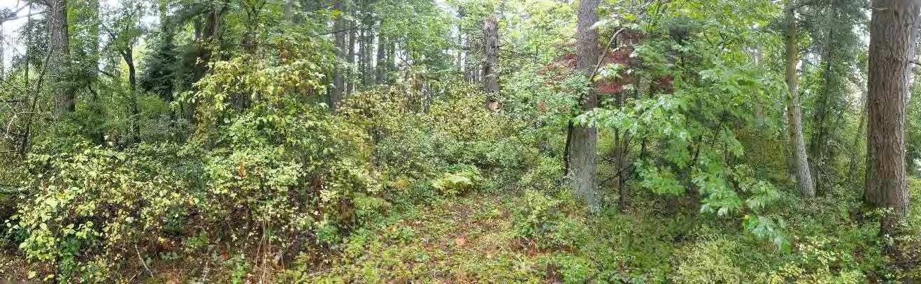
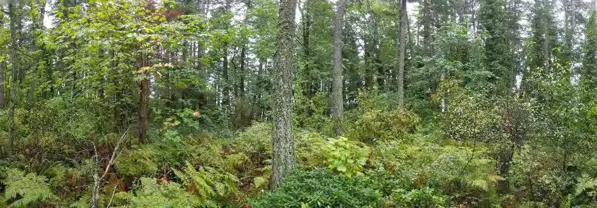
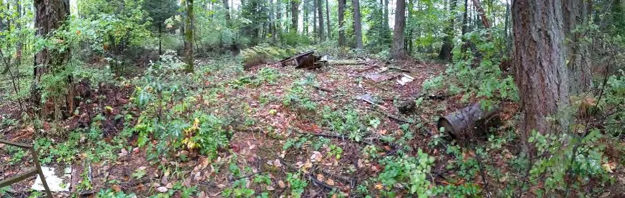
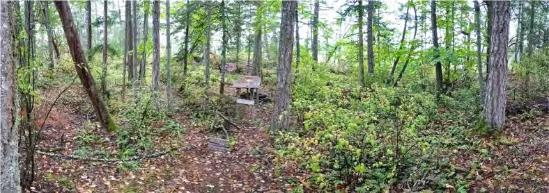
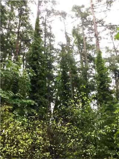
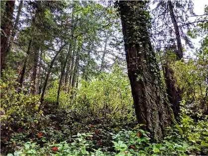
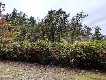
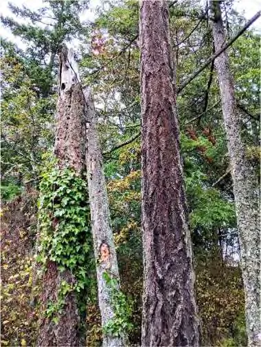
While the mature forest and woodlands are important and sensitive ecosystems, they are not pristine—and few sensitive ecosystems in the CDFmm are. Invasive plants are present in varying density throughout the site. English ivy is particularly dense in the south corner, having covered many of the mature tree trunks (Photo 21). There are strips of Himalayan blackberry along the edges of the right of way through the middle of the property (Photo 23). In the mature forest areas, there are occasional Daphne, English holly and English hawthorn, never in high density (Photo 39). Scotch broom is present in the woodland areas at a very low density (Photo 26). All these invasive plants could be removed and controlled. In the southeast corner there is an area where the understory vegetation has been removed and there is some metal and wood waste scattered around, possibly remnants of an informal camp site (Photo 3). As with the invasive plants, this waste could be removed, and the understory could be restored.
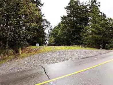
These ecosystems are also affected by fragmentation, as the site is surrounded by residential development to the south and west, cleared areas and Victoria General Hospital to the north/northeast, and rural/industrial land use and the highway to the southeast. Connectivity to the wetland and forest to the north is fragmented by Watkiss Way, and connectivity to Craigflower Creek to the south is fragmented by the residential development. Although the ecosystems could be restored at the site level, the effects of fragmentation are permanent.
Overlap with Development Footprint
To put the ecosystem coverage in the context of the proposed development, the following table shows the areas of overlap of the development footprint and the general ecosystem types. As noted in the preliminary development plan description above, the mapped development footprint does not currently include buffers around buildings for construction and walkways. As such, the actual development footprint would likely be larger.
| Existing Ecosystem or Land Use | Development Footprint (m²) | % of Property |
|---|---|---|
| Mature Douglas-fir Forest | 9,531 | 44% |
| Garry Oak Woodland | 1,912 | 9% |
| Mixed Woodland | 498 | 2% |
| Rural Residential | 748 | 3% |
| Total | 12,684 | 59% |
Mature Trees and Wildlife Snags
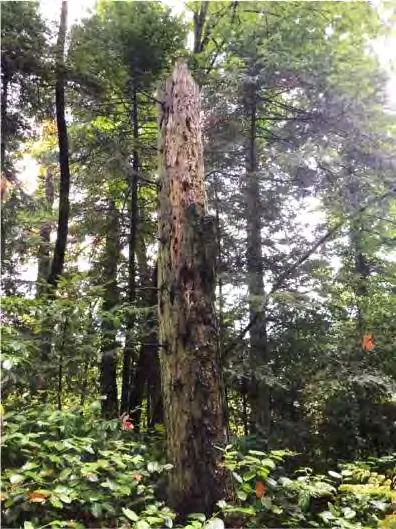
There are many mature Douglas-fir trees throughout the property, including several approximately 1 m in diameter (DBH). Individual and groups of larger trees, mostly Douglas-fir were roughly mapped. Five wildlife snags were also identified and mapped—three in the southern half and two in the northern half of the property. See the attached site plan for these locations.
Based on the presence of mature trees and wildlife snags, there is reasonable potential for raptor nesting in the area. Similarly, there is abundant nesting habitat for songbirds throughout the site.
Riparian Areas
The ditch along the east edge of Watkiss Way may meet the definition of a stream under the RAR; however, this could not be determined during the overview assessment. It will depend on whether the ditch connects to fish habitat and would be best to assess during or following a significant rainfall event. If the RAR does apply, it appears to be a ditch as opposed to a channelized natural stream, and therefore the maximum width of the Streamside Protection and Enhancement Area (SPEA) would be 5 m. No other watercourses were observed on or adjacent to the site.
Rare Species
As this was an overview level assessment, detailed assessments for rare plant and animal species were not conducted. Ecosystems present on site have the potential for several rare species to occur. In particular, Garry Oak ecosystems support greater biodiversity and more species at risk than other ecosystems in BC (about 10% of Species At Risk Act listed species occur in Garry oak ecosystems).
Heron and Raptor Nest Assessment
The assessment occurred under suitable overcast conditions. Two and a half hours was spent systematically observing for stick nests and sign. Two stick nests were observed on the property during the assessment. The first was a medium sized stick nest approximately 30m high in a young Douglas fir. The nest was found approximately 30m off the southeast corner of the developed portion on the lot. It was determined to be a Common Raven nest due to size structure and confirmed by the property owner who had observed the nest over the last two growing seasons. The second nest was a medium sized stick nest 20 m up a Douglas fir tree. Due to shape and size the nest could be of a smaller raptor like a Cooper’s Hawk or possibly a Common Raven. Despite the number of large trees the canopy is of an even age and there is limited potential to support large stick nests. No Bald Eagle or heron nests were encountered during the assessment. A typical suite of overwintering birds was found on the property and bird activity was high.
Regulatory Considerations for Development
- In general, there are no provincial or federal requirements on private lands to protect species or ecological communities at risk. Also, the site is not within View Royal’s existing environmental development permit area.
- Active bird nests, including songbirds, Common Raven and Cooper’s Hawk, are protected under the Wildlife Act.
- Vegetation clearing must be done outside the bird nesting window (March 1st to August 15th) or following pre-clearing nest surveys that confirm no observed active bird nests will be impacted.
- If the Watkiss Way ditch connects to fish habitat, an RAR assessment will likely be required for the development; however, the resulting 2 to 5 m SPEA will not conflict with the development plan. A more detailed review would be needed to verify downstream surface flow connectivity.
Limitations
Mature forest is defined as ≥ 80 years since the last stand-replacing disturbance. For this overview-level assessment EDI interpreted the forest as being mature based on general field observations—the size of the trees in relation to the interpreted site productivity, the lack of stumps or other indicators of logging. A more detailed assessment would be needed to confirm the age range of the forested areas.
Mapping of features was done with an iPad using Avenza PDF Maps. The iPad’s built-in GPS is typically accurate within 5 m under favourable conditions—however the position error can be greater than this. Ecosystem polygons were delineated based on GPS points and tracks and aerial imagery. As such, the location and boundaries of features shown on the site plan and the areas of ecosystem types are approximate.
Closure
If requested, we can provide WestUrban with recommendations to balance development opportunities with sensitive ecosystem values on the site and achieve other best management practice objectives for development.
Please contact us at 250-751-9070 if you have any questions about this environmental overview.
Yours truly,
EDI Environmental Dynamics Inc.
Ian Wright, PAg, RBTech Ecologist/GIS Analyst
[Reference Map 1: Environmental Overview Site Plan showing TEM & SEI Mapping overlays on satellite imagery]
[Reference Map 2: Environmental Overview Site Plan showing Overview Assessment - Ecosystem Mapping with general area descriptions, wildlife snags, and nest locations]
[Reference Map 3: Environmental Overview Site Plan showing Overview Assessment - Development Footprint with proposed building lots A and B]
Photos
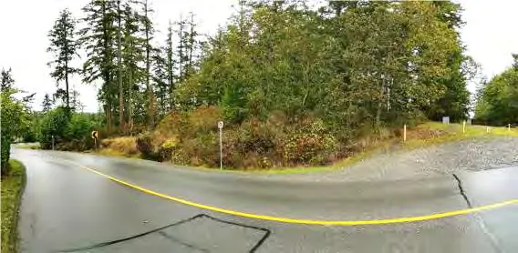
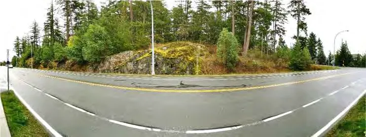
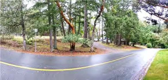
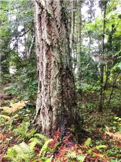
Document Images
(1)