Attachment 5. A0.03 Site Survey
Site Survey
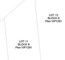
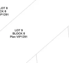
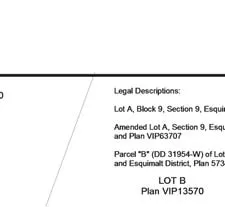
Legal Descriptions
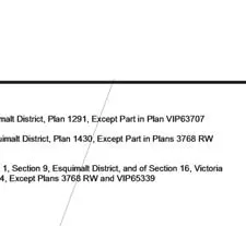
- Lot A, Block 9, Section 9, Esquimalt District, Plan 1291, Except Part in Plan VIP63707
- Amended Lot A, Section 9, Esquimalt District, Plan 1430, Except Part in Plans 3768 RW and Plan VIP63707
- Parcel "B" (DD 31954-W) of Lot 1, Section 9, Esquimalt District, and of Section 16, Victoria and Esquimalt District, Plan 573, Except Plans 3768 RW and VIP65339
- LOT B Plan VIP13570
Project Information
- Address: 1342/1352 Trans Canada Hwy
- Project Surveyor: RPH
- Drawn By: RPH
- Date: Nov 04, 2016
- Our File: 29696
- Revision: 1st
- Firm: J.E. Anderson & Associates, Surveyors - Engineers
- 4212 Glanford Ave, Victoria, B.C. V8Z 4B7
- Tel: 250-727-2214 Fax: 250-727-3395
- E-mail: info@jeanderson.com
- Offices: Victoria - Nanaimo - Parksville
Survey Notes
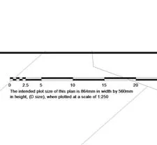
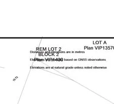
The intended plot size of this plan is 864mm in width by 560mm in height, (D size), when plotted at a scale of 1:250. Distances and elevations are in metres. Elevations are based on GNSS observations and are at natural grade unless noted otherwise.
Key Plan
Scale: 1:1000
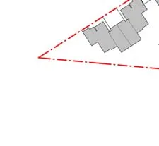
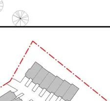
The Key Plan shows the building layout divided into Unit Buildings A, B, C, and D, containing units numbered 1 through 22.
Document Control
- Project: St. Giles
- Sheet Label: Jan 16, 2018
- Application: Development Permit Application
- Drawing Title: Site Survey
- Architect: Eric Barker Architect Inc.
- Project Number: 2016 0101
- Date: Nov 04, 2016
- Drawn By: Author
- Checked By: Checker
- Sheet Number: A0.03
Document Images
(70)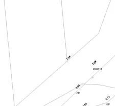
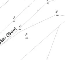
Detail of site survey map showing St. Giles Street
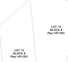
Detail of site survey map with elevations and point markers

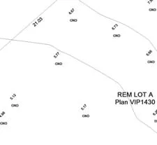
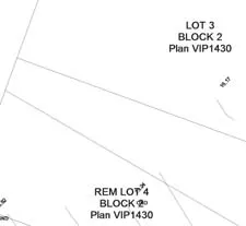
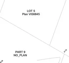
Map detail showing REM LOT A Plan VIP1430 and elevation data
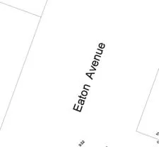
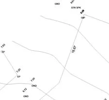
Map detail showing Eaton Avenue and associated survey points
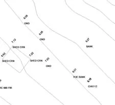
Detail of topographic survey showing shed corner (SHED CRN) locations
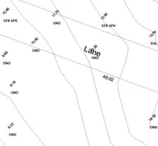
Detail of topographic survey showing a Lane and elevations
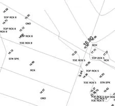
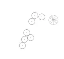
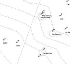
Diagram of trees with labels identifying species and diameters, such as TRD 400 OAK
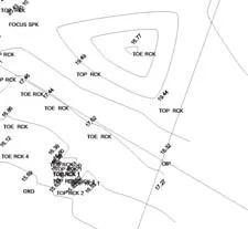
Detail of topographic features labeled as TOP RCK and TOE RCK
Tree diagram showing circular symbols for oak trees
Detail of survey showing topographic features labeled as TOP BANK and TOE BANK
Tree diagram showing circular symbols for oak trees
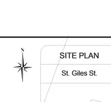
North arrow and site plan title block for St. Giles St.

Detail of topographic survey showing rock features labeled as TOP RCK and TOE RCK
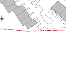
Key Plan diagram showing site layout and building blocks

Detail of Key Plan unit layout

Detail of Key Plan unit layout
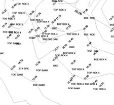
Detail of Key Plan unit layout
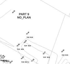
Detail of Key Plan unit layout
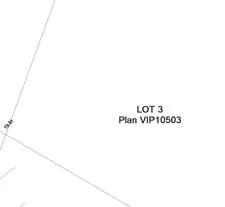
Detail of Key Plan showing unit numbers 12-17
Detail of Key Plan building layout
Detail of Key Plan building layout
Detail of Key Plan unit layout

Detail of Key Plan building layout

Detail of Key Plan showing units 18-22

Detail of Key Plan building layout

Detail of Key Plan building layout

Detail of Key Plan unit layout