Appendix
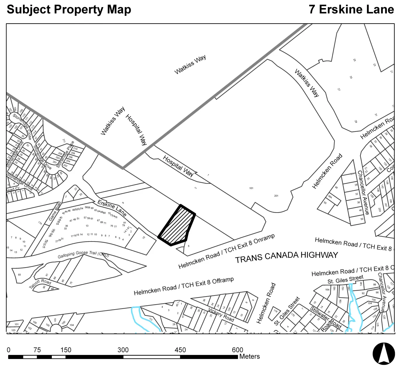
Attachment 1: Location Plan - 7 Erskine Lane
July 17, 2018Page 223 sections
Subject property map showing the location of 7 Erskine Lane and surrounding area.
7 Erskine Lane
Report to Council
Soil Removal Permit 2018-01 – 7 Erskine Lane Meeting Date: July 17, 2018
Y:\Land Administration\3360 Zoning and Rezoning\20 Applications\2018-06 Erskine Lane 7\Reports\2018 07 10 CoW Report - 7 Erskine Lane - REZ2018-06.doc
Page 22
ATTACHMENTS
- Location plan
- Draft - PSI, DSI & Remediation Plan – Islander Engineering, April 2018 (22 pages)
- Cross Section Plan (Areas/Depths of Contaminated Soils) – Islander Engineering, April 2018
Page 22
Attachment 1. Location Plan
Page 22
Extracted from: 2018 07 17 Council Agenda - Agenda - Pdf