This site is in beta — data may be incomplete and features are still being added.
Council Meeting/Documents/Attachment 1. Subject Property Map
Appendix

Attachment 1. Subject Property Map

January 23, 2018Page 163 sections

Map showing the location and surrounding parcels of the subject property at 53 Knollwood Road.

53 Knollwood Road

Report to Council

Page 16

Re: Development Variance Permit 2017/03 – 53 Knollwood Road

Meeting Date: January 23, 2018

Page 16

Attachment 1. Subject Property Map
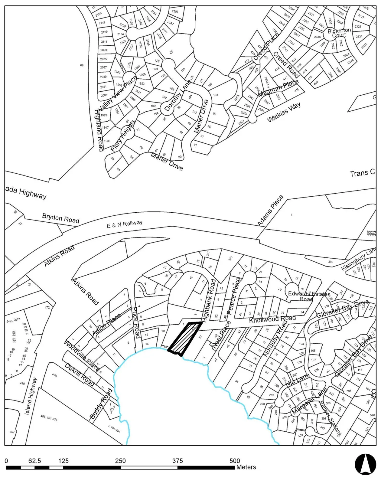
Subject property map showing the lot at 53 Knollwood Road highlighted with diagonal hatching. The map displays the surrounding residential streets, including Highbank Road, Noel Place, Price Road, and Atkins Road, and shows the property's proximity to a shoreline.
Page 16
Extracted from: 2018 01 23 Council Agenda - Agenda - Pdf