This site is in beta — data may be incomplete and features are still being added.
Council Meeting/Documents/Public Safety Building Sign Location Map
Appendix

Public Safety Building Sign Location Map

November 1, 2016Page 361 section

Site-specific aerial view pinpointing the proposed location of the new monument sign.

1 CALL TO ORDER- Mayor Screech called the meeting to order at 7:01 p.m.
333 Island Highway

Aerial Map and Proposed Sign Location
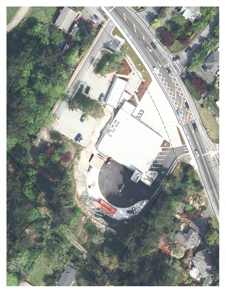
Aerial view map showing property 333 and surrounding parcels (339, 336, 325, 323, and 323A) with a proposed sign location indicated near the roadway.
Red circular marker indicating the specific sign location.
Text label for "Sign Location".
Red arrow pointing to the proposed sign placement.

Map Labels:

  • Sign Location
  • P32

Property Identification Numbers:

  • 333
  • 336
  • 339
  • 325
  • 323
  • 323A
Page 36
Extracted from: 2016 11 01 Council Agenda - Pdf