Appendix
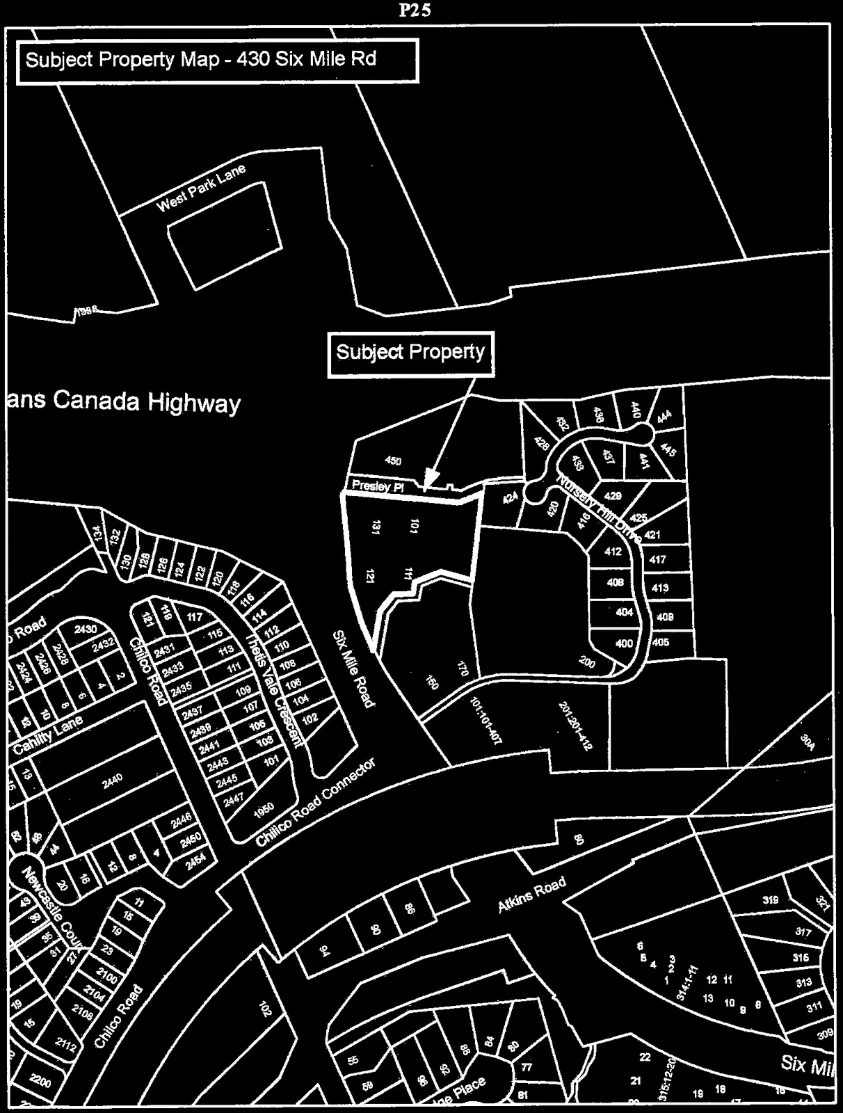
Subject Property Map - 430 Six Mile Rd
July 19, 2016Page 291 section
A cadastral map identifying the specific lot location for 430 Six Mile Road.
430 Six Mile Road
Subject Property Map - 430 Six Mile Rd
Page 29
Document Images
(1)
Extracted from: 2016 07 19 Council Agenda - Pdf