Attachment 4: Riparian Areas Regulation Assessment Report - Swell Environmental Consulting
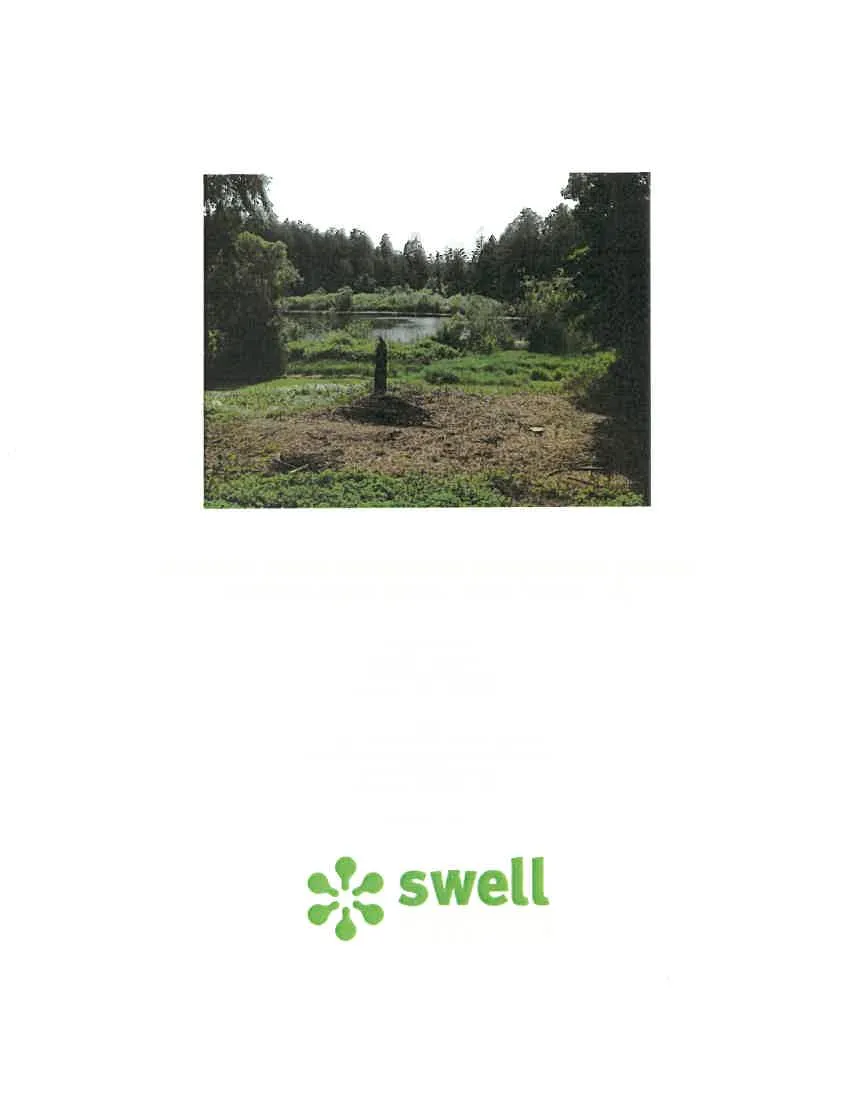
Environmental assessment regarding the impact of the proposed dock on the riparian area of Mackenzie Lake.
Riparian Areas Regulation Assessment Report
2670 Herbate Road, View Royal, BC
Prepared for: Damon Langlois 3910 Ansell Road Victoria, BC V8P 3WC
By: Lehna Malmkvist, RPBio #1613 Swell Environmental Consulting Ltd. 516-21 Dallas Road Victoria, BC V8V 4Z9
July 6, 2016
I. Primary QEP Information
| Field | Information |
|---|---|
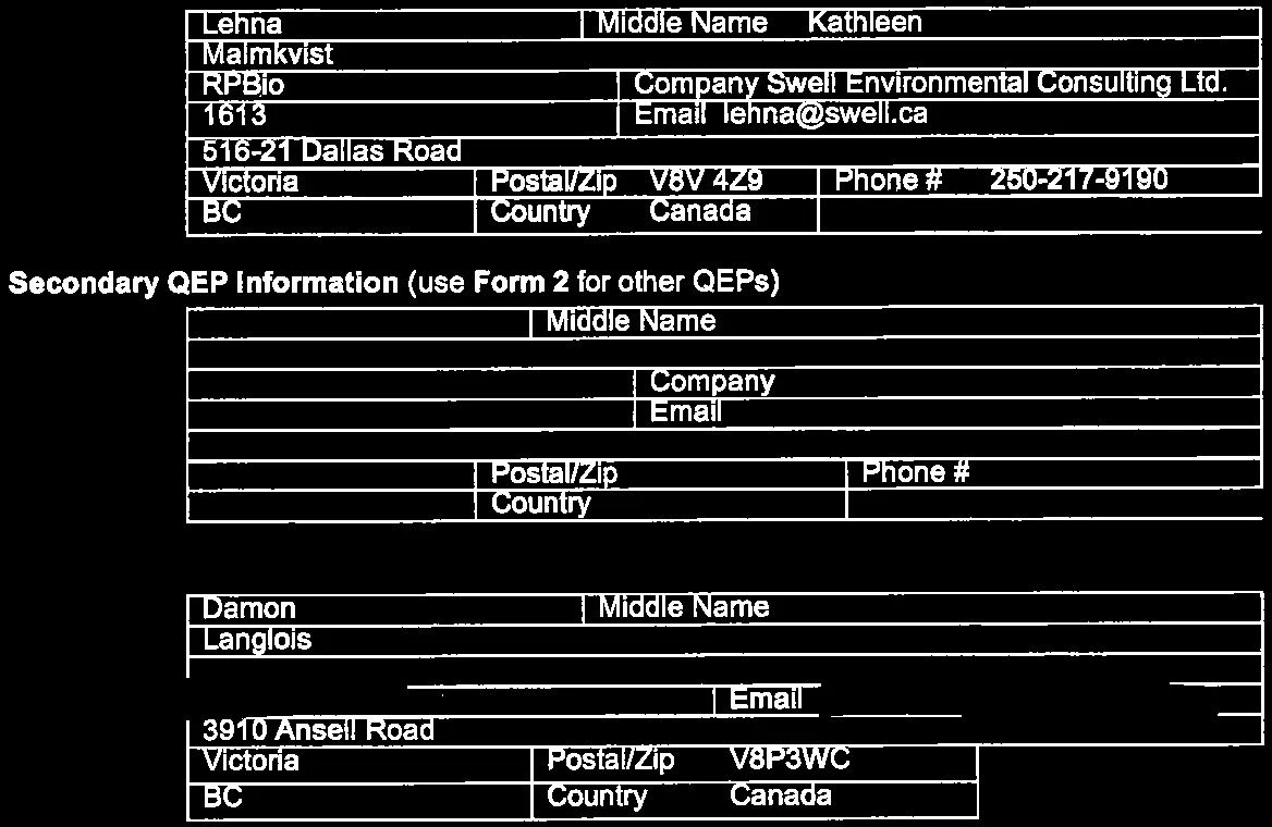
| First Name | Lehna |
| Middle Name | Kathleen |
| Last Name | Malmkvist |
| Designation | RPBio |
| Registration # | 1613 |
| Company | Swell Environmental Consulting Ltd. |
| lehna@swell.ca | |
| Address | 516-21 Dallas Road |
| City | Victoria |
| Prov/state | BC |
| Postal/Zip | V8V 4Z9 |
| Phone # | 250-217-9190 |
| Country | Canada |
II. Secondary QEP Information (use Form 2 for other QEPs)
(No secondary QEP information provided)
III. Developer Information
| Field | Information |
|---|---|
| First Name | Damon |
| Last Name | Langlois |
| Address | 3910 Ansell Road |
| City | Victoria |
| Prov/state | BC |
| Postal/Zip | V8P3WC |
| Country | Canada |
IV. Development Information
| Field | Information |
|---|---|
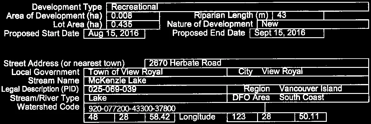
| Development Type | Recreational |
| Area of Development (ha) | 0.008 |
| Lot Area (ha) | 0.435 |
| Riparian Length (m) | 43 |
| Proposed Start Date | Aug 15, 2016 |
| Nature of Development | New |
| Proposed End Date | Sept 15, 2016 |
V. Location of Proposed Development
| Field | Information |
|---|---|
| Street Address | 2670 Herbate Road |
| Local Government | Town of View Royal |
| City | View Royal |
| Stream Name | McKenzie Lake |
| Legal Description (PID) | 025-069-039 |
| Region | Vancouver Island |
| Stream/River Type | Lake |
| DFO Area | South Coast |
| Watershed Code | 920-077200-43300-37800 |
| Latitude | 48° 28' 58.42" |
| Longitude | 123° 28' 50.11" |
Table of Contents
| Section | Page |
|---|---|
| Section 1. Description of Fisheries Resources Values and a Description of the Development proposal | 4 |
| Section 2. Results of Riparian Assessment (SPEA width) | 5 |
| Section 3. Site Plan | 7 |
| Section 4. Measures to Protect and Maintain the SPEA | 10 |
| 4.1 Danger Trees | 10 |
| 4.2 Windthrow | 10 |
| 4.3 Slope Stability | 10 |
| 4.4 Protection of Trees | 10 |
| 4.5 Encroachment | 10 |
| 4.6 Erosion & Sediment Control | 11 |
| 4.7 Stormwater Management | 11 |
| 4.8 Floodplain Concerns | 11 |
| Section 5. Environmental Monitoring | 14 |
| Section 6. Photos | 15 |
| Section 7. Professional Opinion | 19 |
| Appendix 1. Changes In And About A Stream Approval | 20 |
| Appendix 2. Tree Assessment Report | 22 |
Section 1. Description of Fisheries Resources Values and a Description of the Development proposal
McKenzie Lake is a fishbearing waterbody within the Craigflower Creek watershed, it has been documented to contain cutthroat trout, threespine stickleback, brown catfish (formerly brown bullhead) (FIDQ - Fish Inventories Data Queries, June 28, 2016).
The shoreline of McKenzie Lake on the property is approximately 45m long.
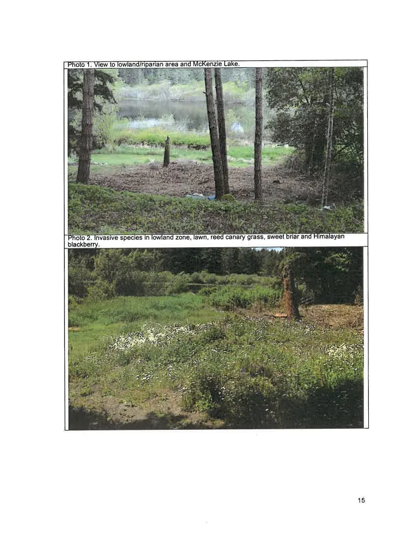
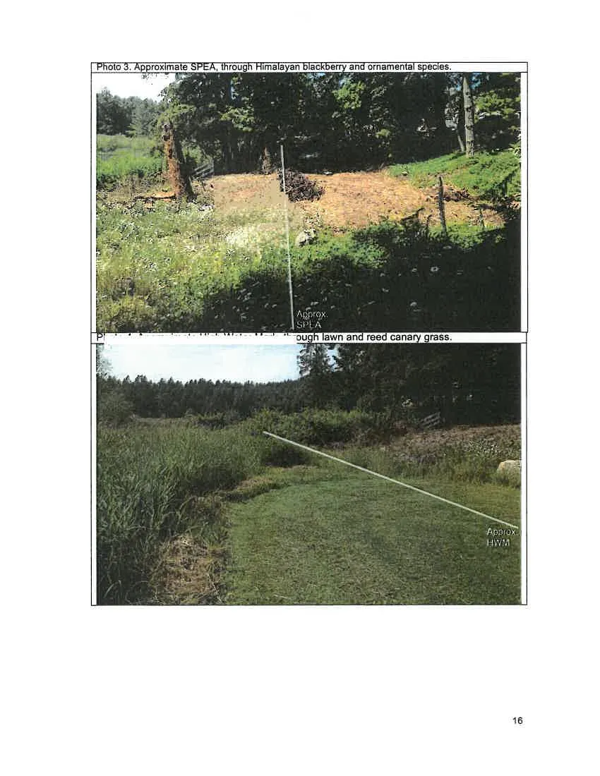
In the SPEA, above the High Water Mark (HWM) the dominant vegetation is Himalayan blackberry (Rubus armeniacus), an invasive rose, likely, sweet briar (Rosa rubiginosa) and lawn, St. John's wort is also present, along with thistles, and various ornamentals (e.g. daffodil) and weedy annual plants that are establishing in the bare soil areas (Photos 1, 2 and 3).
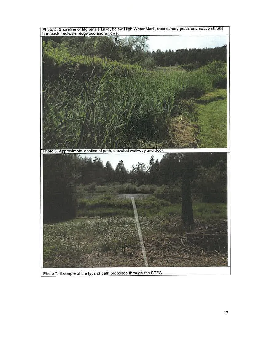
Between the HWM and the low water shoreline of McKenzie Lake the vegetation is primarily Pacific willow (Salix lucida), hardhack (Spirea menziesii), red osier dogwood (Cornus stolonifera) with reed canary grass (Phalaris arundinacea) and lawn (Photos 4 and 5).
The development proposal is to install a footpath, elevated walkway and dock to access McKenzie Lake from the proposed house location (outside the Riparian Assessment Area).
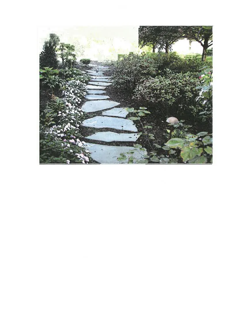
The only proposed development activity relevant to the RAR is the footpath that will cross the SPEA via a direct route to minimize the footprint within the SPEA (Photo 6). The path will be approximately 1 m wide, and the surface of the path will be flat stones (Photo 7). The pathway will control pedestrian access through the SPEA, and will pass through an area that consists of Himalayan blackberry and other non-native species. No Habitat Alteration, Damage or Destruction to Fish or Fish Habitat will occur as a result of the path installation.
The following environmental protection best management practices will be implemented during the path installation:
- Work will be completed during the reduced-risk fisheries window - August 15-September 15, 2016, during a period of forecasted dry weather
- No clearing of native vegetation is required for installation
- Exposed soils will be covered, if needed, during rainfall until the path is completed
The elevated walkway and dock are below the High Water Mark and their design and installation are addressed within a Changes In And About A Stream Notification Application that has been approved by the Habitat Officer Kevin Telfer at the Nanaimo Office of Ministry of Forests, Lands and Natural Resources (File: 1003477 and Tracking Number: 100173276) (Appendix 1). The dock design and proposed implementation has incorporated these measures to prevent serious harm to fish by following best practices such as those described in the measures to avoid harm document: (http://www.dfo-mpo.gc.ca/pnw-ppe/measures-mesures/measures-mesures-eng.html).
Section 2. Results of Riparian Assessment (SPEA width)
Date: May 30, 2016
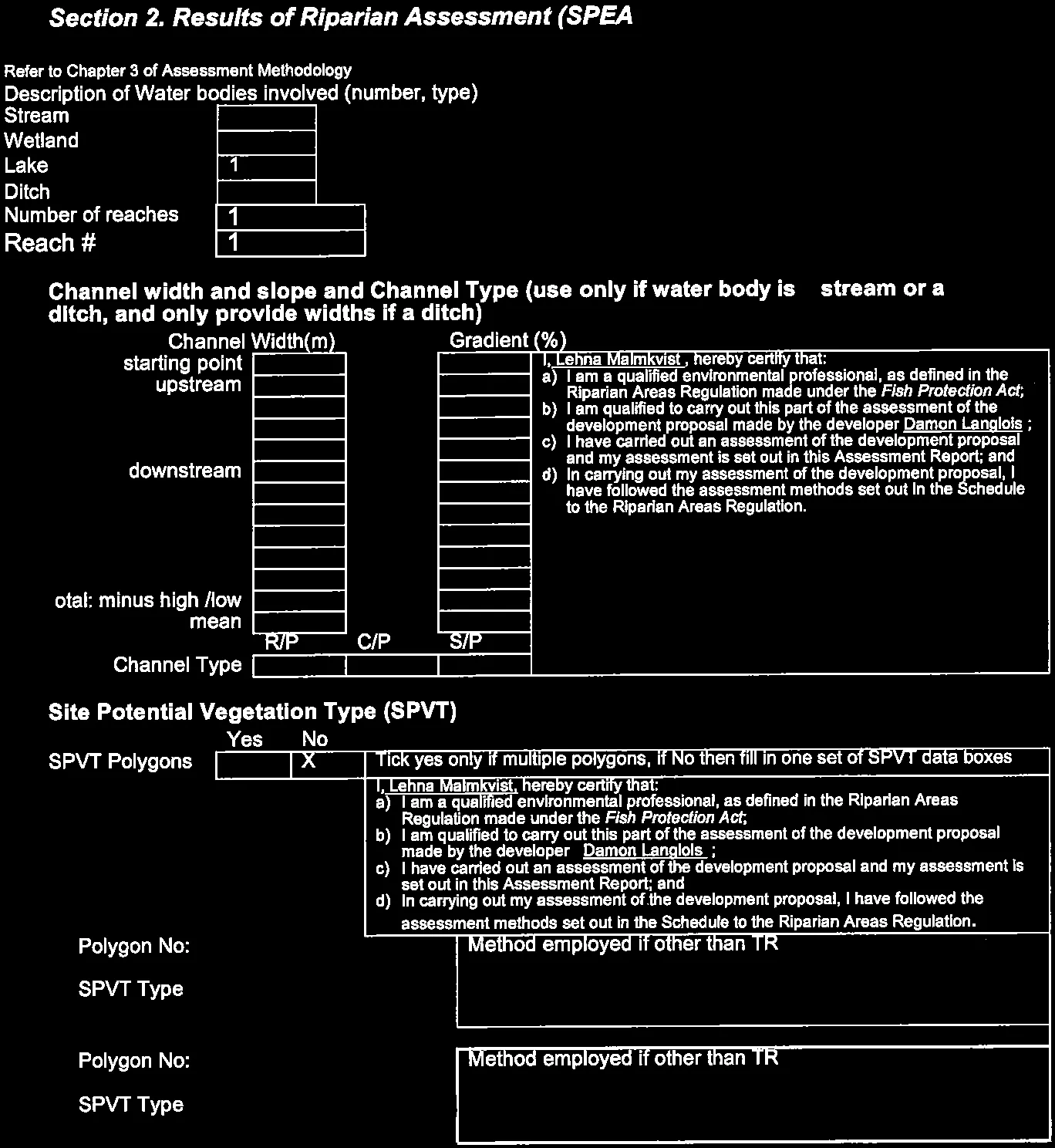
Description of Water bodies involved (number, type) Lake: 1 Number of reaches: 1 Reach #: 1
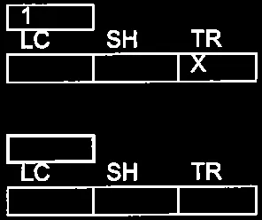
Site Potential Vegetation Type (SPVT) SPVT Polygons: No [X] Polygon No: 1 SPVT Type: TR [X]
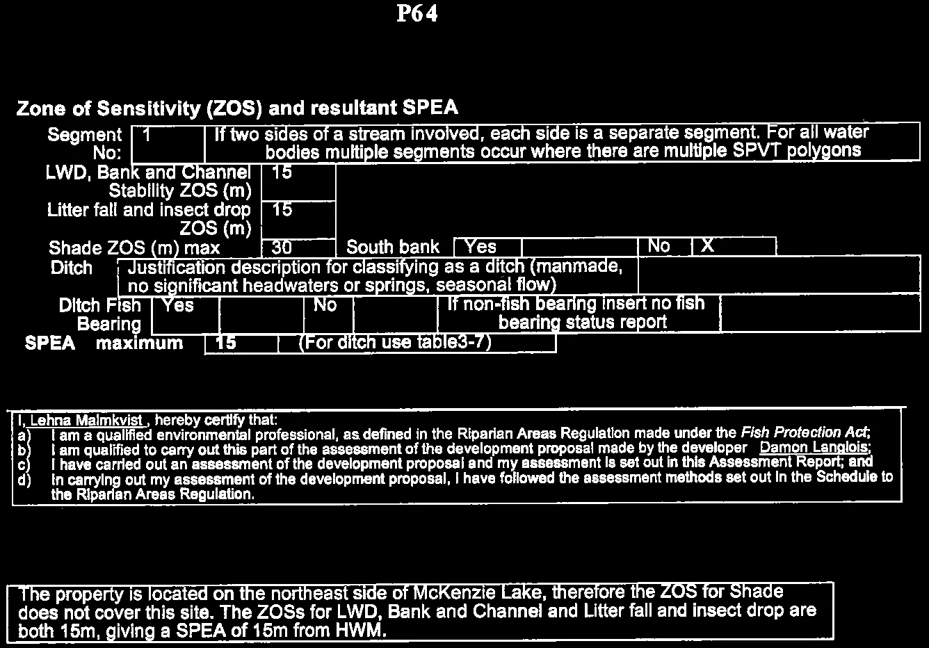
Zone of Sensitivity (ZOS) and resultant SPEA
| Segment No | ZOS Type | ZOS (m) |
|---|---|---|
| 1 | LWD, Bank and Channel Stability | 15 |
| 1 | Litter fall and insect drop | 15 |
| 1 | Shade ZOS (m) max | 30 |
South bank: No [X]
SPEA maximum: 15 (For ditch use table 3-7)
Comments
The property is located on the northeast side of McKenzie Lake, therefore the ZOS for Shade does not cover this site. The ZOSs for LWD, Bank and Channel and Litter fall and insect drop are both 15m, giving a SPEA of 15m from HWM.
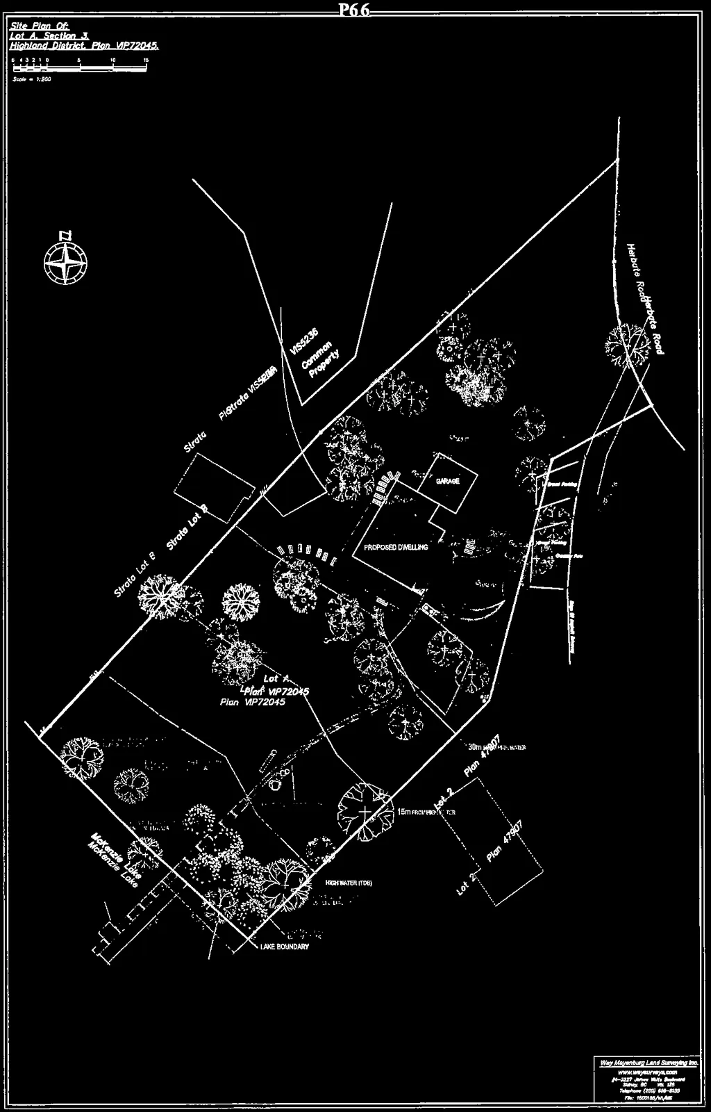
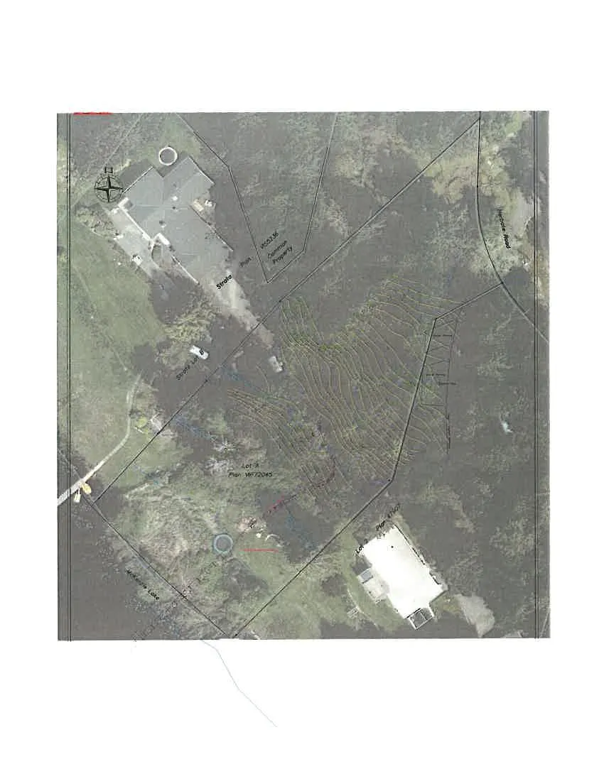
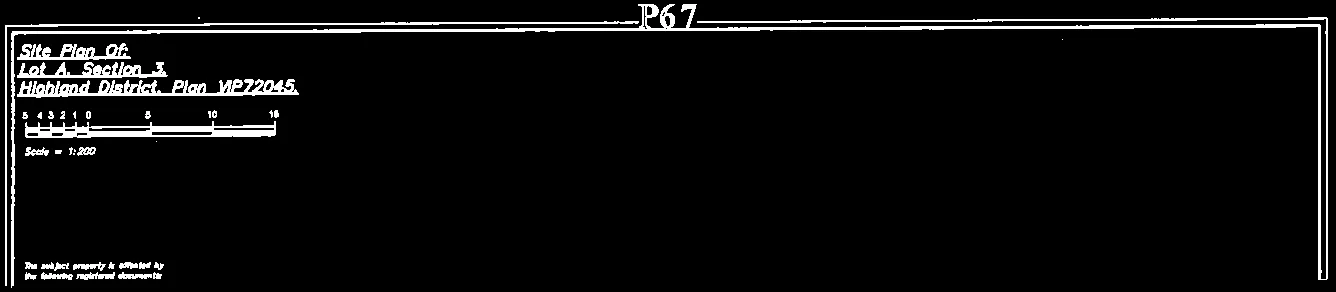
Section 3. Site Plan
Section 4. Measures to Protect and Maintain the SPEA
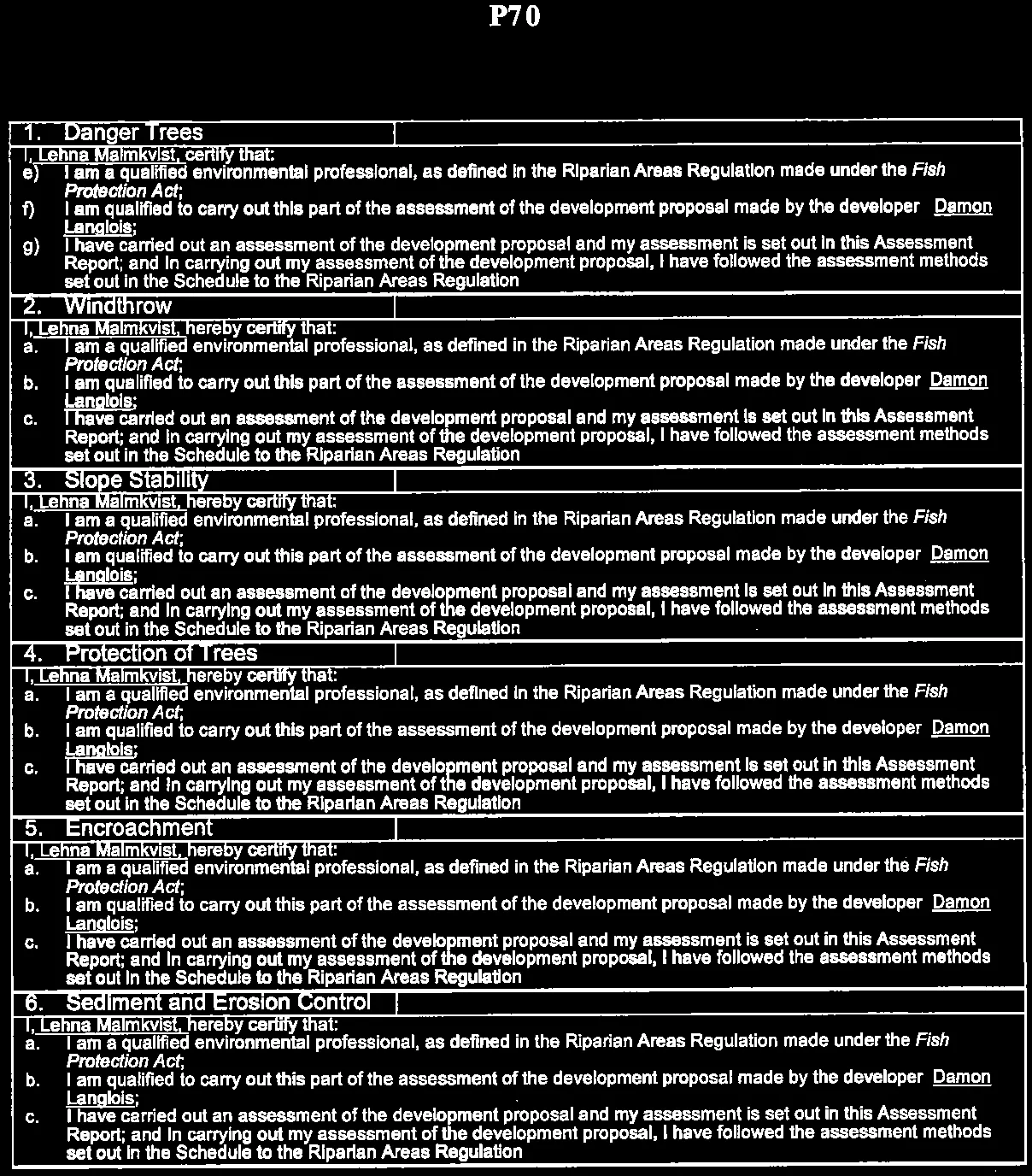
4.1 Danger Trees
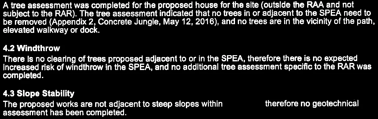
A tree assessment was completed for the proposed house for the site (outside the RAA and not subject to the RAR). The tree assessment indicated that no trees in or adjacent to the SPEA need to be removed (Appendix 2, Concrete Jungle, May 12, 2016), and no trees are in the vicinity of the path, elevated walkway or dock.
4.2 Windthrow
There is no clearing of trees proposed adjacent to or in the SPEA, therefore there is no expected increased risk of windthrow in the SPEA, and no additional tree assessment specific to the RAR was completed.
4.3 Slope Stability
The proposed works are not adjacent to steep slopes within the SPEA, therefore no geotechnical assessment has been completed.
4.4 Protection of Trees
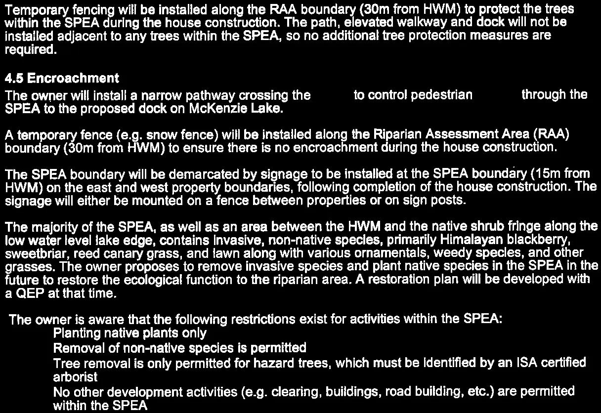
Temporary fencing will be installed along the RAA boundary (30m from HWM) to protect the trees within the SPEA during the house construction. The path, elevated walkway and dock will not be installed adjacent to any trees within the SPEA, so no additional tree protection measures are required.
4.5 Encroachment
The owner will install a narrow pathway crossing the SPEA to control pedestrian access through the SPEA to the proposed dock on McKenzie Lake.
A temporary fence (e.g. snow fence) will be installed along the Riparian Assessment Area (RAA) boundary (30m from HWM) to ensure there is no encroachment during the house construction.
The SPEA boundary will be demarcated by signage to be installed at the SPEA boundary (15m from HWM) on the east and west property boundaries, following completion of the house construction. The signage will either be mounted on a fence between properties or on sign posts.
The majority of the SPEA, as well as an area between the HWM and the native shrub fringe along the low water level lake edge, contains invasive, non-native species, primarily Himalayan blackberry, sweetbriar, reed canary grass, and lawn along with various ornamentals, weedy species, and other grasses. The owner proposes to remove invasive species and plant native species in the SPEA in the future to restore the ecological function to the riparian area. A restoration plan will be developed with a QEP at that time.
The owner is aware that the following restrictions exist for activities within the SPEA:
- Planting native plants only
- Removal of non-native species is permitted
- Tree removal is only permitted for hazard trees, which must be identified by an ISA certified arborist
- No other development activities (e.g. clearing, buildings, road building, etc.) are permitted within the SPEA
4.6 Erosion & Sediment Control
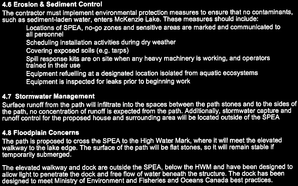
The contractor must implement environmental protection measures to ensure that no contaminants, such as sediment-laden water, enters McKenzie Lake. These measures should include:
- Locations of SPEA, no-go zones and sensitive areas are marked and communicated to all personnel
- Scheduling installation activities during dry weather
- Covering exposed soils (e.g. tarps)
- Spill response kits are on site when any heavy machinery is working, and operators trained in their use
- Equipment refuelling at a designated location isolated from aquatic ecosystems
- Equipment is inspected for leaks prior to beginning work
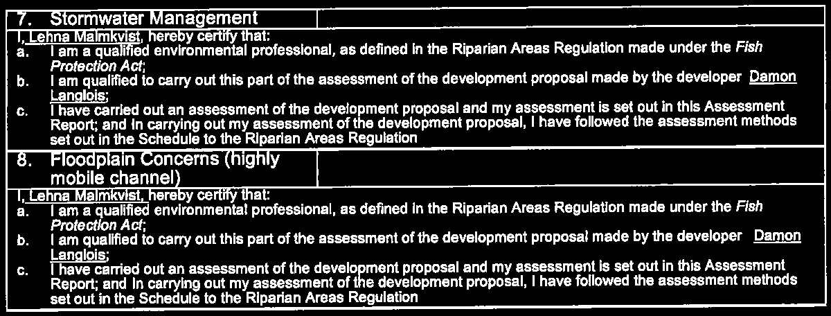
4.7 Stormwater Management
Surface runoff from the path will infiltrate into the spaces between the path stones and to the sides of the path, no concentration of runoff is expected from the path. Additionally, stormwater capture and runoff control for the proposed house and surrounding area will be located outside of the SPEA.
4.8 Floodplain Concerns
The path is proposed to cross the SPEA to the High Water Mark, where it will meet the elevated walkway to the lake edge. The surface of the path will be flat stones, so it will remain stable if temporarily submerged.
The elevated walkway and dock are outside the SPEA, below the HWM and have been designed to allow light to penetrate the dock and free flow of water beneath the structure. The dock has been designed to meet Ministry of Environment and Fisheries and Oceans Canada best practices.
Section 5. Environmental Monitoring
The property owners have been informed of their obligation to protect the Streamside Protection and Enhancement Areas (SPEAs) and have agreed to obtain a QEP to provide environmental monitoring during construction.
At a minimum, environmental monitoring should include:
- A pre-construction meeting on-site with the QEP, property owners, and the project manager or a representative of each construction company to be working independently on site.
- Site visits timed to coincide with key activities and based on weather conditions to ensure all development activities remain outside of the SPEA, E&SC protective measures are in good working order.
- Site visits for emergencies, including heavy rainfall events.
- A post-development visit to inspect works for the completion report.
Photo-point monitoring and site visit checklists should be use for clarity of post-development reporting.
The property owners have been informed of their obligation to submit a post-development report to the RAR Notification System and have agreed to obtain the services of a QEP to complete this task. A post development report will include a field inspection of the development site and SPEA to ensure that the measures in the RAR report and in Environmental Monitoring plans have been implemented and that no damage has occurred or is expected to occur to the integrity of the SPEA. Reports generated by the Environmental Monitor during construction will be reviewed and the site will be photo-documented.
Section 6. Photos
Section 7. Professional Opinion
Assessment Report Professional Opinion on the Development Proposal's riparian area.
Date: July 6, 2016
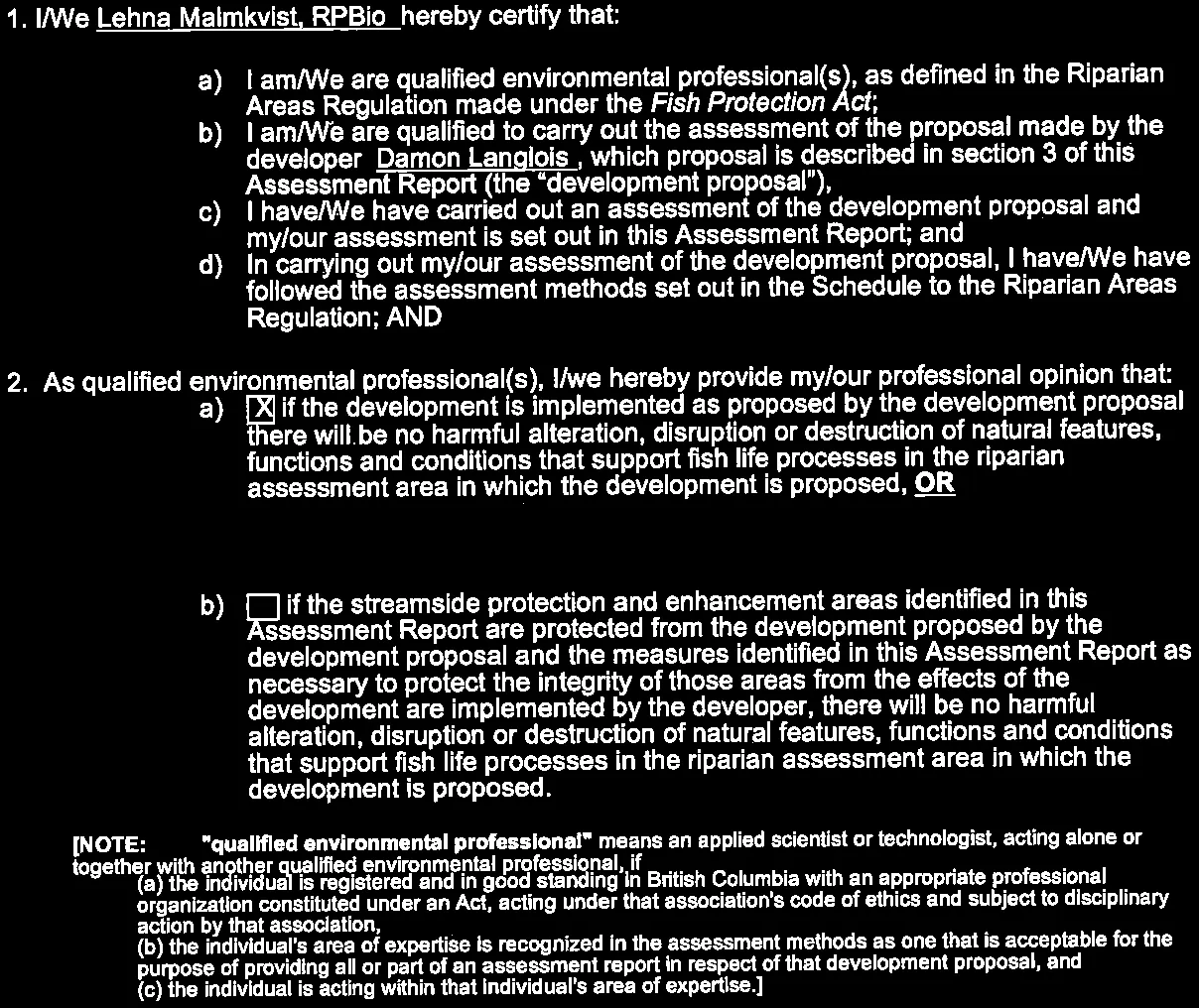
I/We Lehna Malmkvist, RPBio hereby certify that:
- a) I am/We are qualified environmental professional(s), as defined in the Riparian Areas Regulation made under the Fish Protection Act;
- b) I am/We are qualified to carry out the assessment of the proposal made by the developer Damon Langlois, which proposal is described in section 3 of this Assessment Report (the "development proposal"),
- c) I have/We have carried out an assessment of the development proposal and my/our assessment is set out in this Assessment Report; and
- d) In carrying out my/our assessment of the development proposal, I have/We have followed the assessment methods set out in the Schedule to the Riparian Areas Regulation; AND
As qualified environmental professional(s), I/we hereby provide my/our professional opinion that:
- a) [X] if the development is implemented as proposed by the development proposal there will be no harmful alteration, disruption or destruction of natural features, functions and conditions that support fish life processes in the riparian assessment area in which the development is proposed, OR
- b) [ ] if the streamside protection and enhancement areas identified in this Assessment Report are protected from the development proposed by the development proposal and the measures identified in this Assessment Report as necessary to protect the integrity of those areas from the effects of the development are implemented by the developer, there will be no harmful alteration, disruption or destruction of natural features, functions and conditions that support fish life processes in the riparian assessment area in which the development is proposed.