Attachment 5: Consulting Arborist Report - Concrete Jungle Forestry Ltd
Tree assessment report for the property at 2670 Herbate Road detailing existing inventory and recommended removals for house construction.
Appendix 2. Tree Assessment Report
CONCRETE JUNGLE FORESTRY LTD.
Urban & Wildland Forest Assessment & Mapping
May 12, 2016
James Davison MCIP RPP Planner Town of View Royal
Cc: Damon Langlois (owner 2670 Herbate Rd,)
Re: 2670 Herbate Road, Development Permit Application - Consulting Arborist Report.
Introduction:
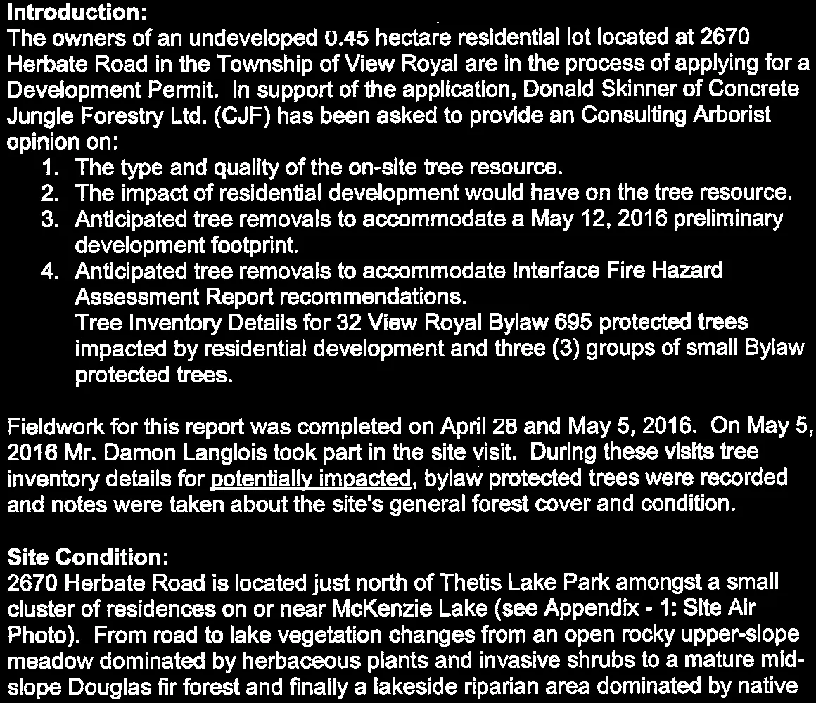
The owners of an undeveloped 0.45 hectare residential lot located at 2670 Herbate Road in the Township of View Royal are in the process of applying for a Development Permit. In support of the application, Donald Skinner of Concrete Jungle Forestry Ltd. (CJF) has been asked to provide an Consulting Arborist opinion on:
- The type and quality of the on-site tree resource.
- The impact of residential development would have on the tree resource.
- Anticipated tree removals to accommodate a May 12, 2016 preliminary development footprint.
- Anticipated tree removals to accommodate Interface Fire Hazard Assessment Report recommendations.
- Tree Inventory Details for 32 View Royal Bylaw 695 protected trees impacted by residential development and three (3) groups of small Bylaw protected trees.
Fieldwork for this report was completed on April 28 and May 5, 2016. On May 5, 2016 Mr. Damon Langlois took part in the site visit. During these visits tree inventory details for potentially impacted, bylaw protected trees were recorded and notes were taken about the site's general forest cover and condition.
Site Condition:
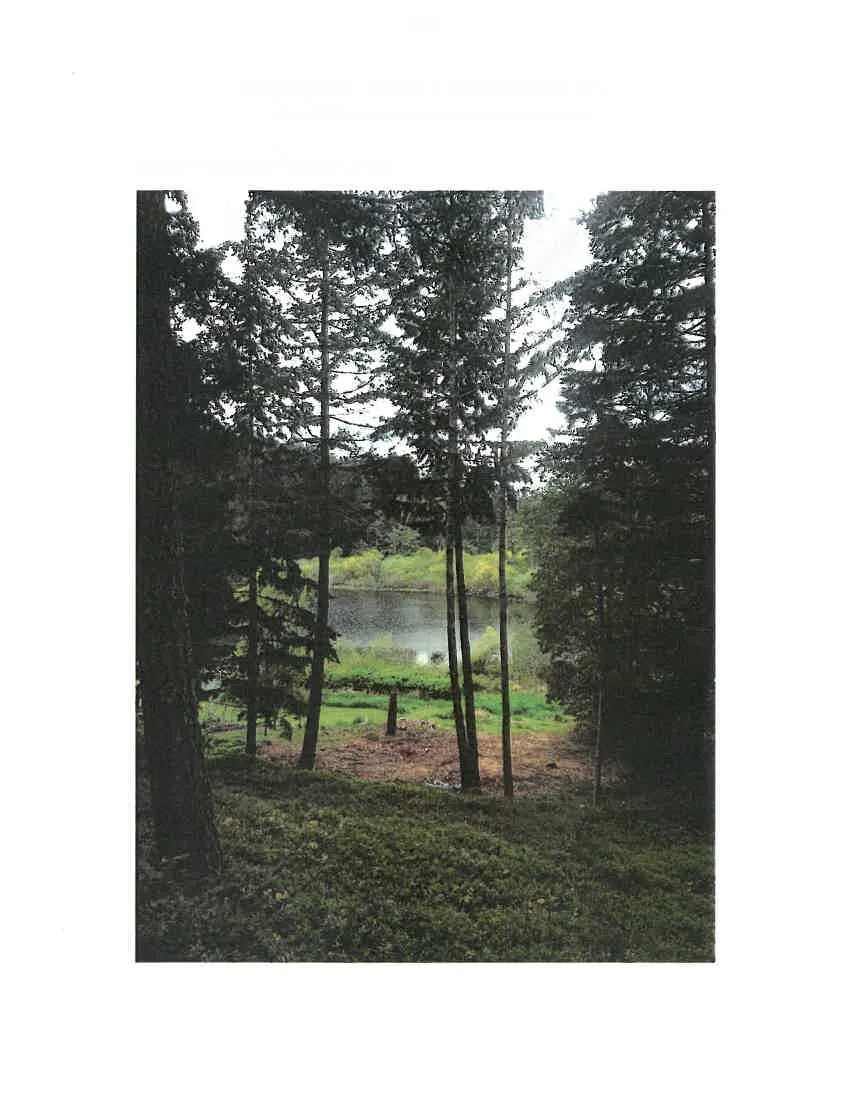
2670 Herbate Road is located just north of Thetis Lake Park amongst a small cluster of residences on or near McKenzie Lake (see Appendix - 1: Site Air Photo). From road to lake vegetation changes from an open rocky upper-slope meadow dominated by herbaceous plants and invasive shrubs to a mature mid-slope Douglas fir forest and finally a lakeside riparian area dominated by native species tall shrubs and invasive grasses (see Images 1: Meadow, 2: Mid-slope Douglas fir Forest and Building Site and 3: Lakeside Riparian Area).
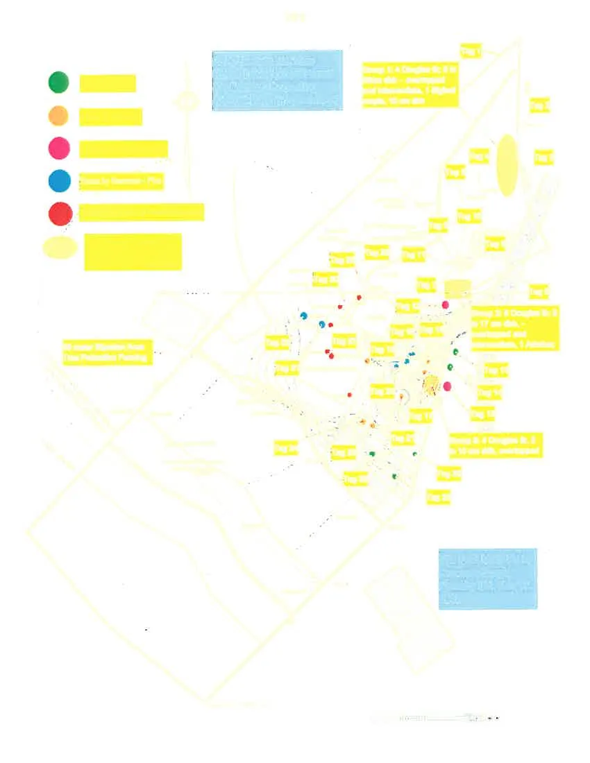
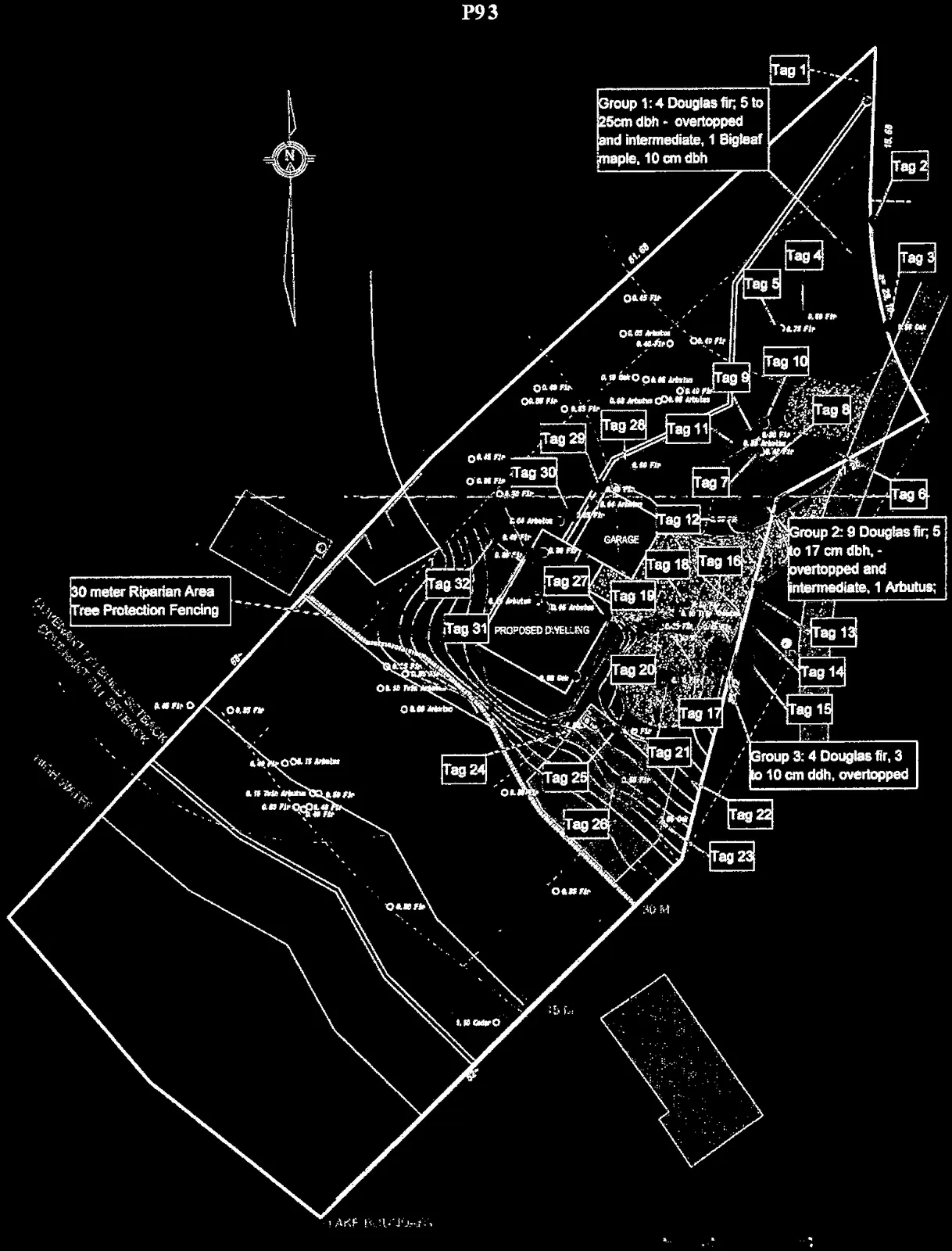
Appendix -2: Site Plan Mark-Up; shows that the developable portion of the property constrained by four setbacks:
- A 30 meter Riparian Areas Regulation (RAR) mandated setback from McKenzie Lake.
- Two 30 meter setbacks protecting wells on the subject property and neighbouring 2700 Herbate Road from septic contamination.
- 7.5 meter setbacks along the north and south property lines.
- An easement allowing driveway access to 2600 Herbate Road.
Type and Quality of the On-site Tree Resource:
Located in the driest Coastal Douglas fir (CDFmm) biogeoclimactic subzone forest vegetation is dominated by an overstory of mature second growth Douglas fir. Under these are intermediate and overtopped Douglas fir, Arbutus, Garry oak and Bigleaf maple (see Images 1 and 2). Ground cover includes native and invasive species shrubs, herbaceous plants and bryoids (mosses and lichens) (see Images 1, 2 and 3).
Codominant mid-slope Douglas fir reach 30 meters in height and have an estimated age of 140 years and diameters at breast height (dbh) between 38 and 71 centimeters. Smaller Overtopped and Intermediate trees are scattered throughout. Some of these are captured as individuals in the Tree Inventory Table and Site Plan while others are included as 'Groups' on the Site Plan only.
With full dark green canopies CJF awarded all codominant trees a Biological Health rating of 'Good'. Structural Condition Rating was slightly more variable with three awarded a rating of 'Fair' due to a structural defect. All other codominants received a 'Good' Structural rating. Lower in the canopy, reduced light penetration often results in trees with less vigor and a more contorted form. See Appendix - 3: Tree Inventory Table for the details on each inventoried tree and Appendix - 2 for the location of each inventoried tree and three Groups in relation to a May 12, 2016 preliminary development footprint.
The Impact of Residential Development on the Tree Resource:
Mr Langlois has provided a Tree Plan with May 12, 2016 preliminary development footprint. Analysis of the development verses inventoried trees (codominant, intermediate and overtopped) determined that it would require the following tree removals:
- Four (4) codominant and intermediate trees for house and driveway construction.
- Two (2) trees removed due to a structural defect and location within striking distance of the proposed dwelling.
- Eight (8) codominant and intermediate trees less than 10 meters from the proposed development as an Interface Fire Hazard mitigation measure.
- Two (2) Potential Tree Removals located adjacent to the upper and lower driveways. Determining the fate of these large diameter codominant trees requires analysis and compromise between the existing and final driveway grades.
- Group 3's 4 overtopped Douglas fir.
The Tree Inventory Table shows six Point 1 and 2 tree removals as orange filled cells in the 'Action' column and on the Site Plan as orange filled circles at the trunk location. Fire Hazard mitigation tree removals are shown as Cyan filled cells and circles. Potential Tree Removals are shown as Fuchsia filled calls and circles. Group 3 is shown as opaque orange oval near the driveway turnaround.
Please note that:
- The Site Plan Mark-Up contains six (6) trees (red circles) removed under the previous owner's tenure. All were located in or close to the May 12, 2016 development footprint and would likely have been removed anyway.
- The Site Plan Mark-Up contains the location of Tree Protection Fencing (TPF) to isolate the 30 meter RAR from the rest of the site. This has not yet been installed.
- Additional TPF will be installed to protect other retained Bylaw 695 protected trees when the development footprint, service corridors, construction access and materials storage details have been finalized.
Conclusion:
While the proposed residential development at 2670 Herbate Road will require the removal of a portion of the subject property's Tree Resource much of the site is protected by setback and the proponent's desire to develop while leaving the natural character intact. Resulting in the post-development retention of numerous forest trees. Once the development requirements are finalized CJF will review against inventoried trees to ensure the listed Tree Removals remain valid.
Donald Skinner M.Sc., R.P.Bio., I.S.A. Certified Arborist. Registered Professional Biologist (#827). I.S.A. Certified Arborist (# PN5907A).
Appendix - 1: Site Air Photo.
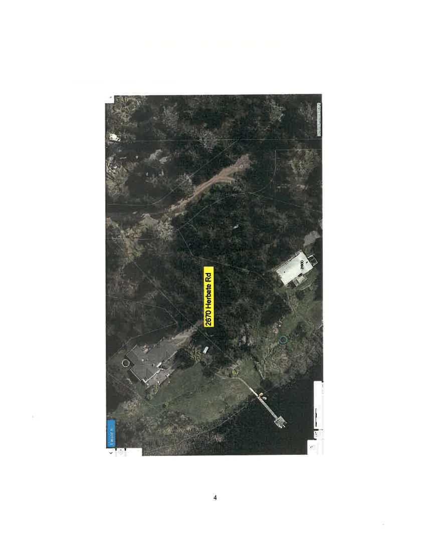
Image 1: Meadow.
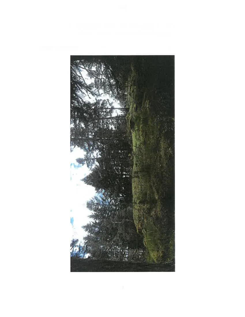
Image 2: Mid-slope Douglas fir Forest and Building Site.
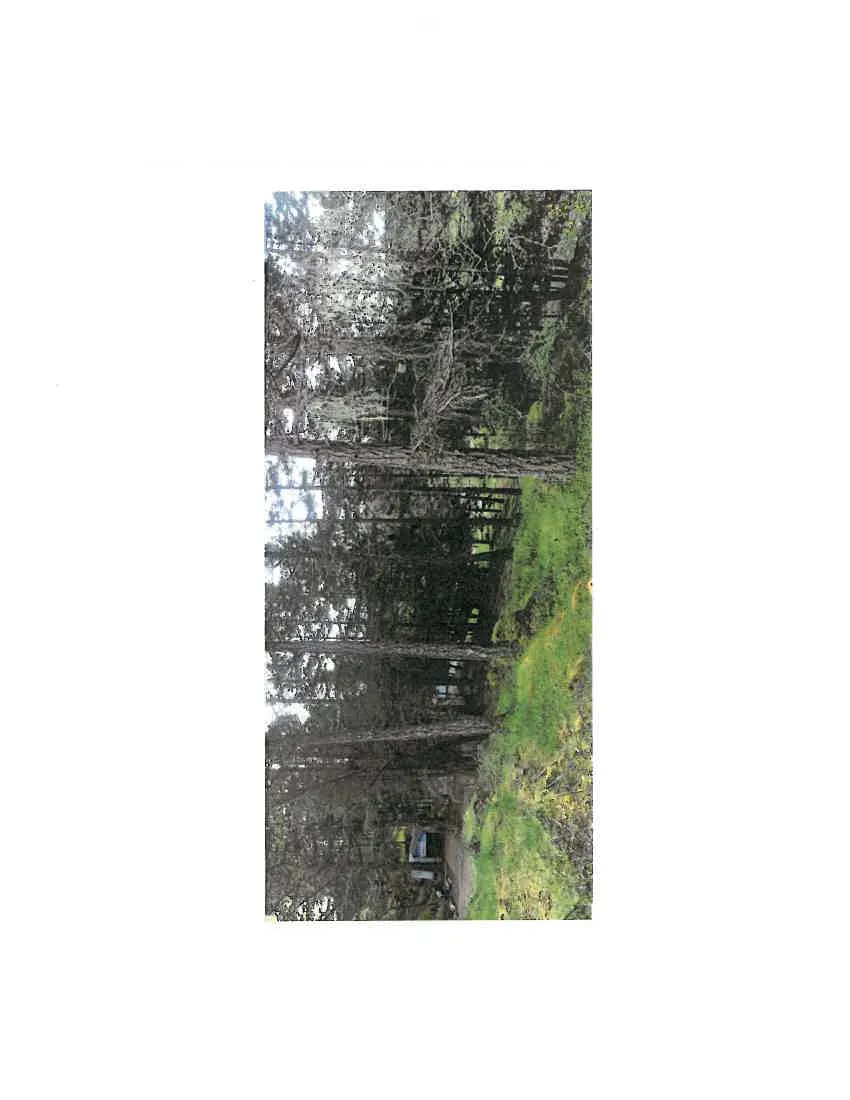
Image 3: Lakeside Riparian Area.
Appendix -- 2: Site Plan Mark-Up.
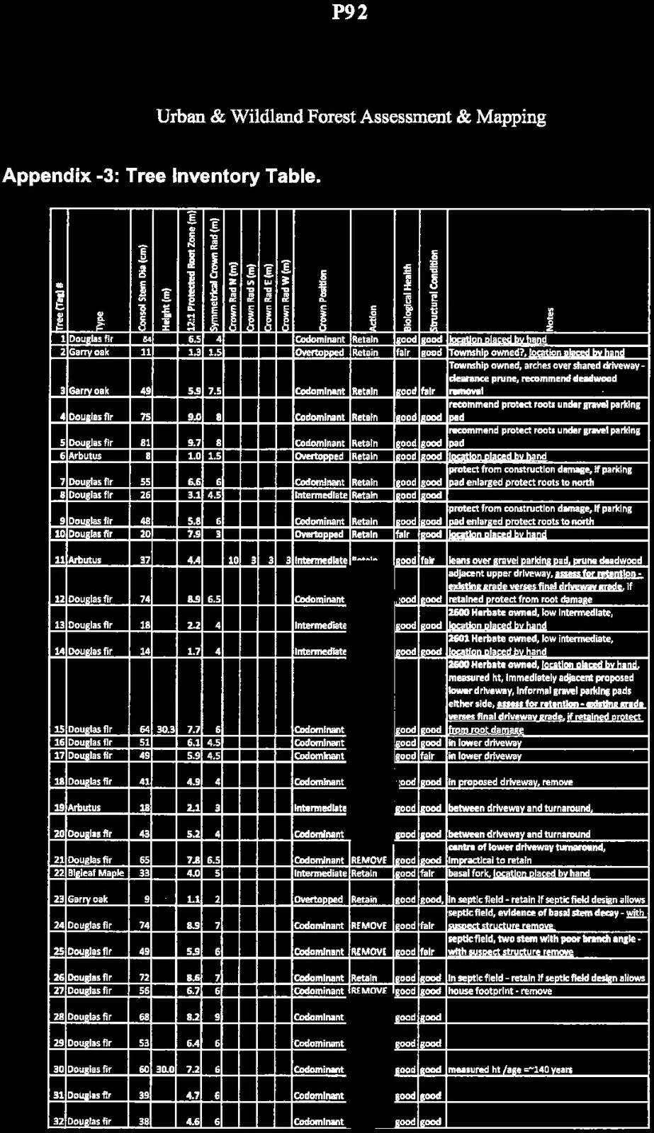
Appendix -3: Tree Inventory Table.
| Tree (Tag) # | Type | Consol Stem Dia (cm) | Height (m) | 12:1 Protected Root Zone (m) | Symmetrical Crown Rad (m) | Crown Position | Action | Biological Health | Structural Condition | Notes |
|---|---|---|---|---|---|---|---|---|---|---|
| 1 | Douglas fir | 54 | 6.5 | 4 | Codominant | Retain | good | good | location placed by hand | |
| 2 | Garry oak | 11 | 1.3 | 1.5 | Overtopped | Retain | fair | good | Township owned?, location placed by hand | |
| 3 | Garry oak | 49 | 5.9 | 7.5 | Codominant | Retain | good | fair | Township owned, arches over shared driveway - clearance prune, recommend deadwood removal | |
| 4 | Douglas fir | 75 | 9.0 | 8 | Codominant | Retain | good | good | recommend protect roots under gravel parking pad | |
| 5 | Douglas fir | 81 | 9.7 | 8 | Codominant | Retain | good | good | recommend protect roots under gravel parking pad | |
| 6 | Arbutus | 8 | 1.0 | 1.5 | Overtopped | Retain | good | good | location placed by hand | |
| 7 | Douglas fir | 55 | 6.6 | 6 | Codominant | Retain | good | good | protect from construction damage, if parking pad enlarged protect roots to north | |
| 8 | Douglas fir | 26 | 3.1 | 4.5 | Intermediate | Retain | good | good | ||
| 9 | Douglas fir | 48 | 5.8 | 6 | Codominant | Retain | good | good | protect from construction damage, if parking pad enlarged protect roots to north | |
| 10 | Douglas fir | 20 | 7.5 | 3 | Overtopped | Retain | fair | good | location placed by hand | |
| 11 | Arbutus | 37 | 4.4 | Intermediate | Retain | good | fair | leans over gravel parking pad, prune deadwood | ||
| 12 | Douglas fir | 74 | 8.9 | 6.5 | Codominant | REMOVE | good | good | adjacent upper driveway, assess for retention - existing grade verses final driveway grade, if retained protect from root damage | |
| 13 | Douglas fir | 18 | 2.2 | 4 | Intermediate | Retain | good | good | 2600 Herbate owned, low intermediate, location placed by hand | |
| 14 | Douglas fir | 14 | 1.7 | 4 | Intermediate | Retain | good | good | 2601 Herbate owned, low intermediate, location placed by hand | |
| 15 | Douglas fir | 64 | 30.3 | 7.7 | 6 | Codominant | REMOVE | good | good | 2600 Herbate owned, location placed by hand, measured ht, immediately adjacent proposed lower driveway, informal gravel parking pads either side, assess for retention - existing grade verses final driveway grade, if retained protect from root damage |
| 16 | Douglas fir | 51 | 6.1 | 4.5 | Codominant | REMOVE | good | good | in lower driveway | |
| 17 | Douglas fir | 49 | 5.9 | 4.5 | Codominant | REMOVE | good | fair | in lower driveway | |
| 18 | Douglas fir | 41 | 4.9 | 4 | Codominant | REMOVE | good | good | in proposed driveway, remove | |
| 19 | Arbutus | 18 | 2.1 | 3 | Intermediate | REMOVE | good | good | between driveway and turnaround, | |
| 20 | Douglas fir | 43 | 5.2 | 4 | Codominant | REMOVE | good | good | between driveway and turnaround | |
| 21 | Douglas fir | 65 | 7.8 | 6.5 | Codominant | REMOVE | good | good | centre of lower driveway turnaround, impractical to retain | |
| 22 | Bigleaf Maple | 33 | 4.0 | 5 | Intermediate | Retain | good | fair | basal fork, location placed by hand | |
| 23 | Garry oak | 9 | 1.1 | 2 | Overtopped | Retain | good | good | in septic field - retain if septic field design allows | |
| 24 | Douglas fir | 74 | 8.9 | 7 | Codominant | REMOVE | good | fair | septic field, evidence of basal stem decay - with suspect structure remove | |
| 25 | Douglas fir | 49 | 5.9 | 6 | Codominant | REMOVE | good | fair | septic field, two stem with poor branch angle - with suspect structure remove | |
| 26 | Douglas fir | 72 | 8.6 | 7 | Codominant | Retain | good | good | in septic field - retain if septic field design allows | |
| 27 | Douglas fir | 56 | 6.7 | 6 | Codominant | REMOVE | good | good | house footprint - remove | |
| 28 | Douglas fir | 68 | 8.2 | 9 | Codominant | REMOVE | good | good | ||
| 29 | Douglas fir | 53 | 6.4 | 6 | Codominant | REMOVE | good | good | ||
| 30 | Douglas fir | 60 | 30.0 | 7.2 | 6 | Codominant | REMOVE | good | good | measured ht /age =~140 years |
| 31 | Douglas fir | 39 | 4.7 | 6 | Codominant | REMOVE | good | good | ||
| 32 | Douglas fir | 38 | 4.6 | 6 | Codominant | REMOVE | good | good |
Note: Table columns for Crown Rad N, S, E, W are present in original document but empty for individual trees. The 'Action' column in the document uses colored shading to indicate removal types as described in the report body.
Document Images
(19)



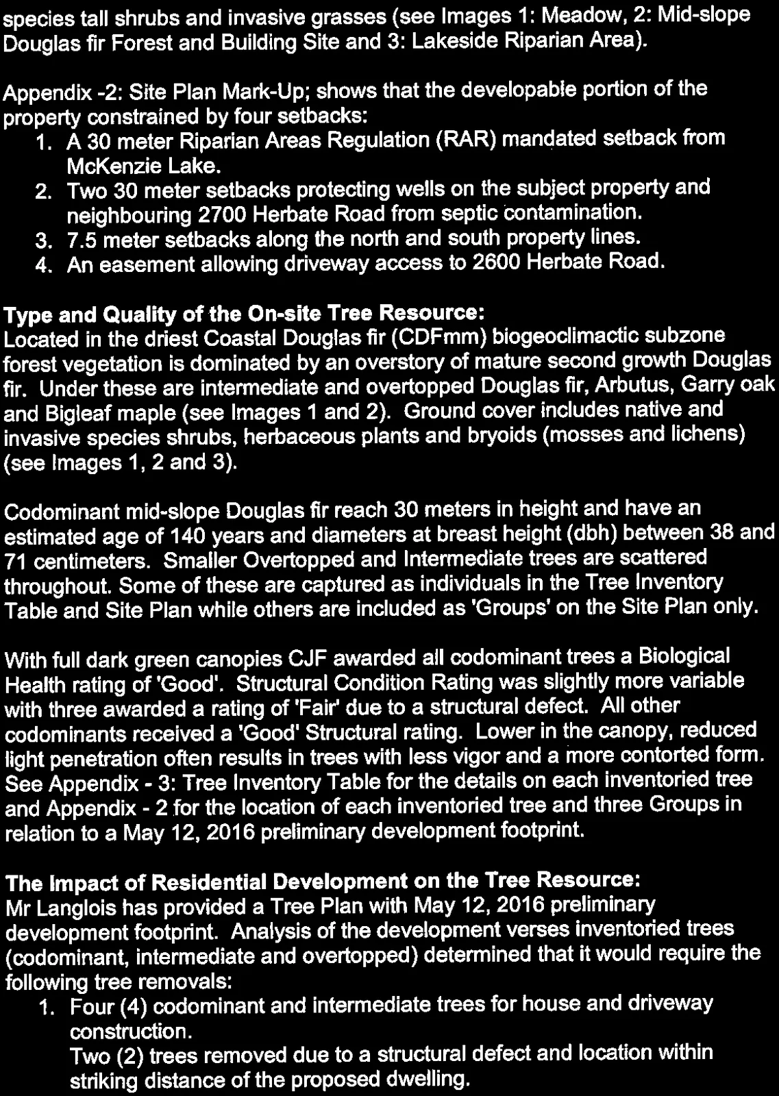

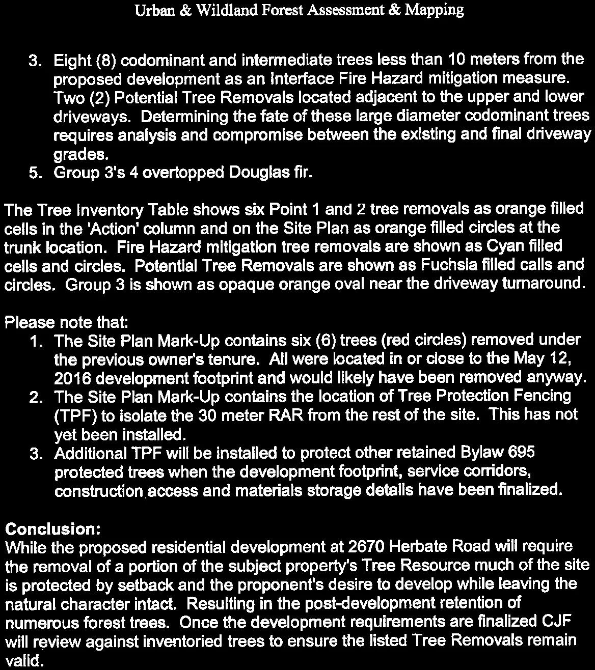





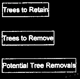
Map Legend for Site Plan Mark-Up showing symbols for tree status and protection measures

Detailed clusters of tree tag locations and status symbols from Site Plan

Map Title Block: Site Plan Mark-Up by Concrete Jungle Forestry Ltd. May 12, 2016
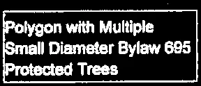
Map Annotation Box: Polygon with Multiple Small Diameter Bylaw 695 Protected Trees
Map Project Header: 2670 Herbate Rd. View Royal: Development Permit Application - Consulting Arborist Report; Appendix - 2