This site is in beta — data may be incomplete and features are still being added.
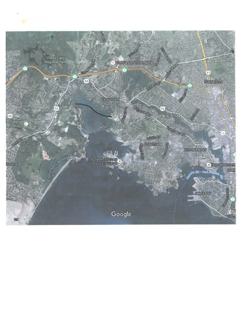
Council Meeting/Documents/Google Maps Aerial View - Proposed Causeway (1km scale)
Appendix

Google Maps Aerial View - Proposed Causeway (1km scale)

January 19, 2016Page 781 section

A broader context aerial map for the proposed causeway project.

2. APPROVAL OF AGENDA
2015 Imagery1 km scale
Google Maps satellite view of the Greater Victoria area, including Thetis Lake Regional Park, Victoria General Hospital, View Royal, Esquimalt, Saanich, and Colwood. Key landmarks such as Canadian Forces Base Esquimalt and Esquimalt Lagoon are visible. A black line is hand-drawn across the water in the View Royal area.
Page 78
Extracted from: 2016 01 19 Council Agenda - Pdf