This site is in beta — data may be incomplete and features are still being added.
Council Meeting/Documents/Google Maps Aerial View - Proposed Causeway detailed (200m scale)
Appendix

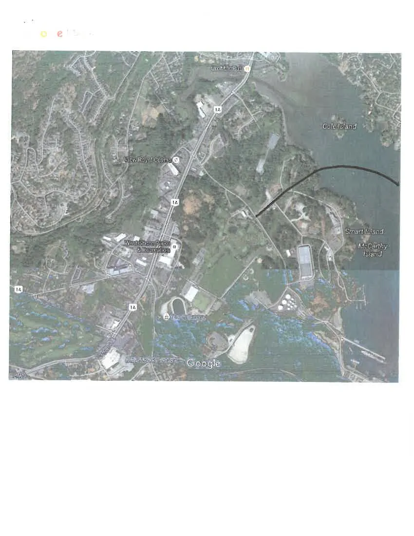
Google Maps Aerial View - Proposed Causeway detailed (200m scale)

January 19, 2016Page 791 section

Detailed aerial view of the landing points for the conceptual causeway.

2. APPROVAL OF AGENDA
2015 Imagery200 m scale
A Google Maps satellite view of an area featuring the View Royal Casino and West Shore Parks & Recreation. Highway 1A is shown running through the area. To the east are Cole Island, Smart Island, and McCarthy Island. A black line is drawn on the map starting from a point on the mainland and extending into the water towards the islands.
Page 79
Extracted from: 2016 01 19 Council Agenda - Pdf