This site is in beta — data may be incomplete and features are still being added.
Committee of the Whole/Documents/Peninsula Streams and Shorelines Presentation
Presentation

Peninsula Streams and Shorelines Presentation

December 12, 2023Pages 121–1556 sections

A presentation deck detailing various ecological restoration projects in View Royal, including marsh and beach restoration in Portage Inlet and View Royal Park.

2. APPROVAL OF AGENDA (motion to approve)
Restoration projects at Portage Inlet Linear Park, Hospital Creek Marsh, and View Royal Park Tidal MarshEstimated Total View Royal Project Portion Value: over ~$300,000.00Requesting In-Kind Contribution of $30,000/year over 3 years

Peninsula Streams and Shorelines:

Kyle Armstrong MSc Executive Director Dec 2023

Organizational Focus

Peninsula Streams and Shorelines focus on three interconnected areas of work:

  • Research & Advocacy
  • Stewardship & Restoration
  • Education & Outreach

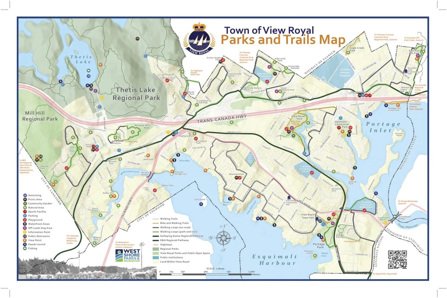
Town of View Royal Parks and Trails
Town of View Royal Parks and Trails Map

Page 121–155

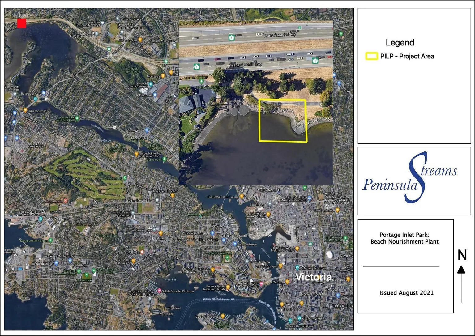
Portage Inlet Linear Park Beach Restoration
Portage Inlet Linear Park Beach Restoration project area map showing the location in Victoria

The project focuses on restoring critical beach habitat, particularly for forage fish species which are foundational to the marine food web.
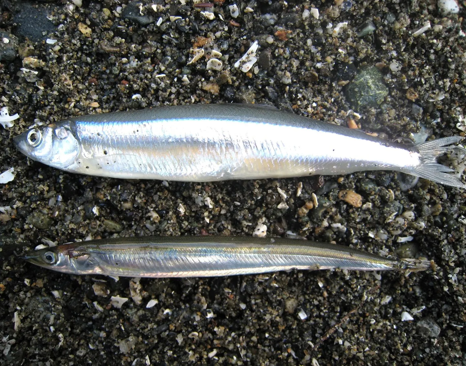
Photos of two forage fish species: Surf Smelt (top) and Pacific Sand Lance (bottom)
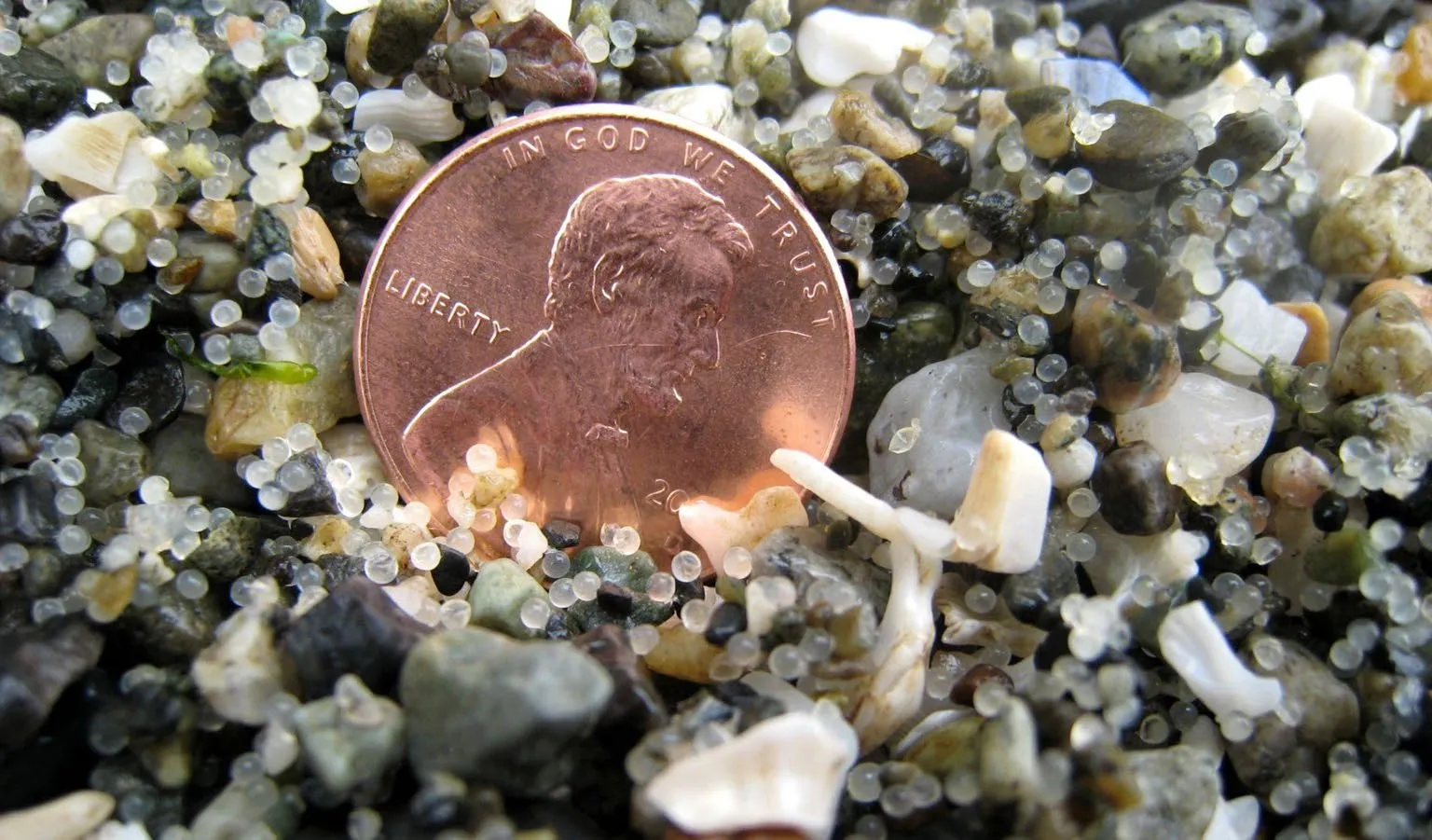
Close-up of Surf Smelt eggs in beach sediment, with a penny included for scale
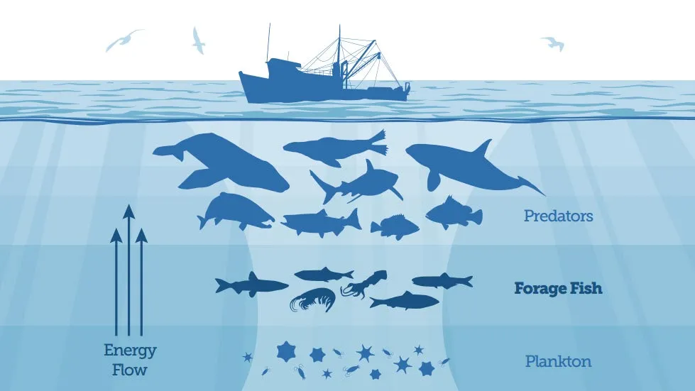
Diagram of the marine food web showing the flow of energy from Plankton to Forage Fish to larger Predators
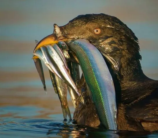
Photo of a bird with several forage fish in its beak, illustrating their role as a food source

Project Site - Before Restoration
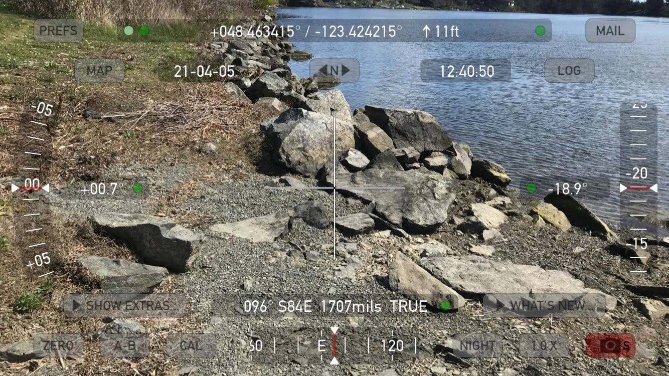
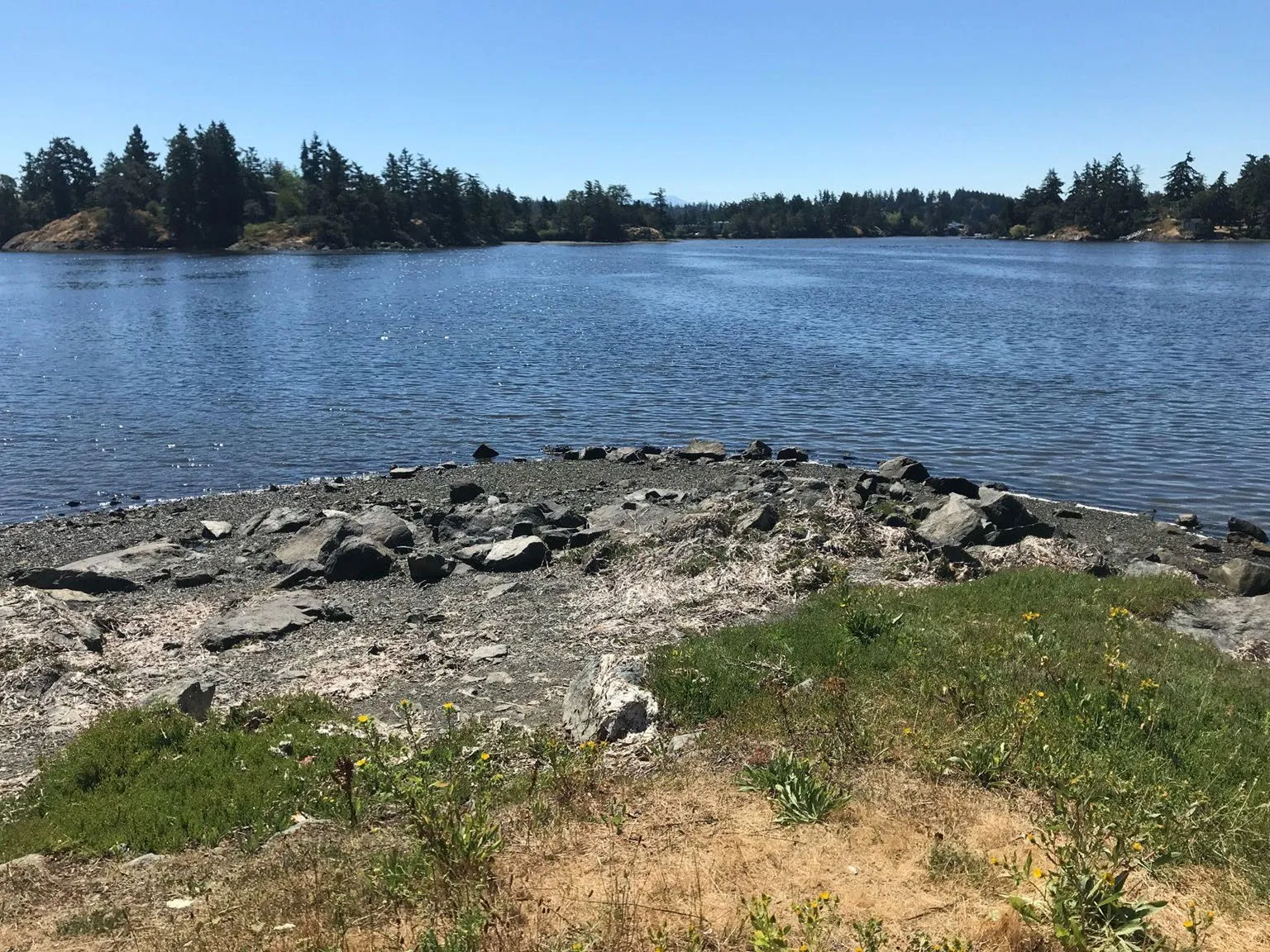
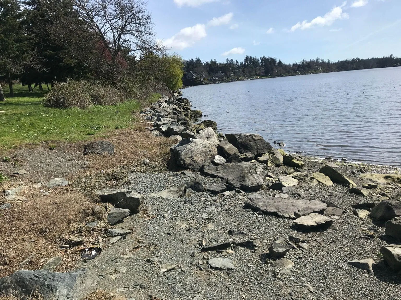
Photo of the rocky shoreline at Portage Inlet Linear Park dominated by large boulders
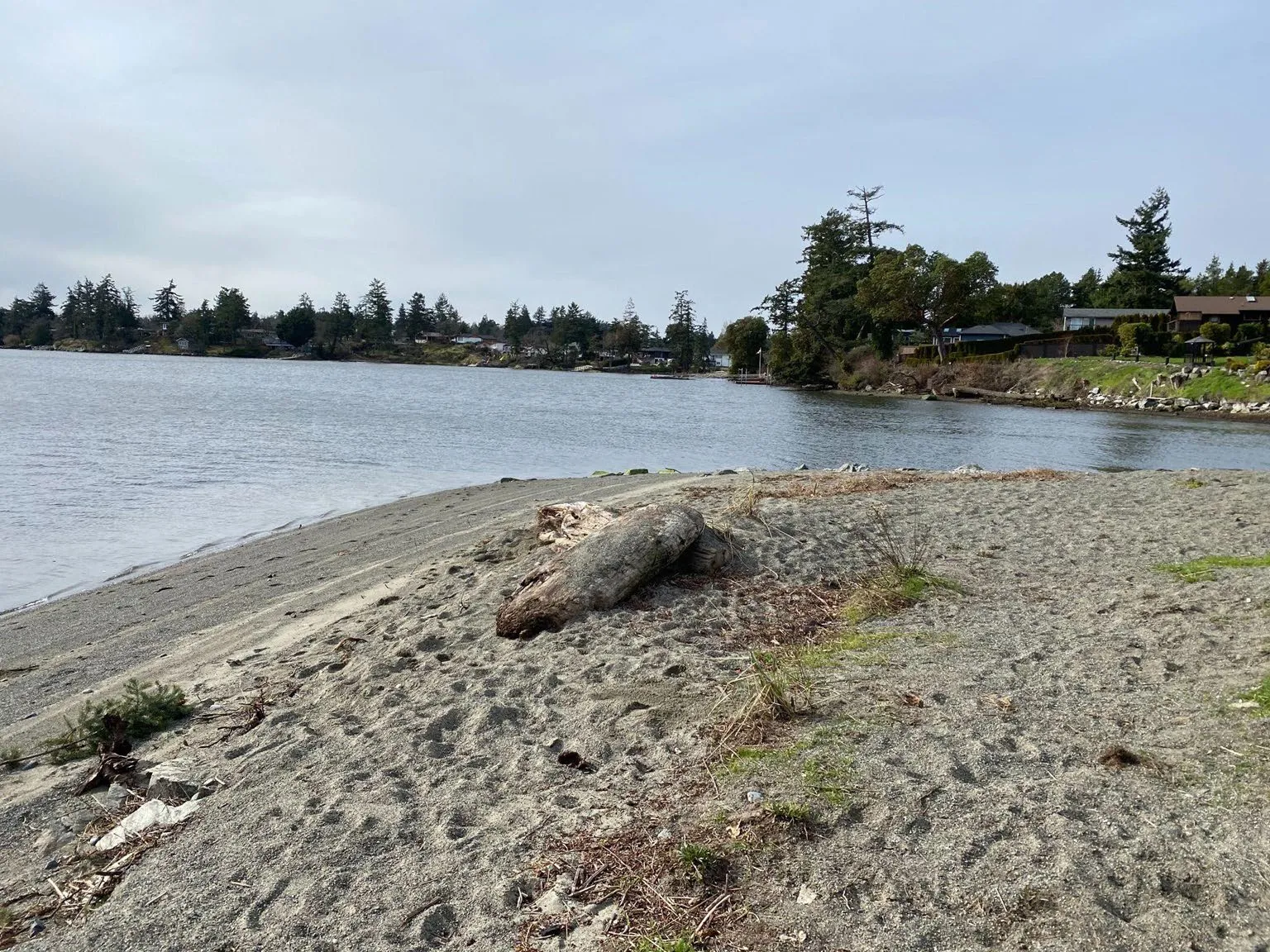
Overview photo of the beach restoration project area prior to work commencing
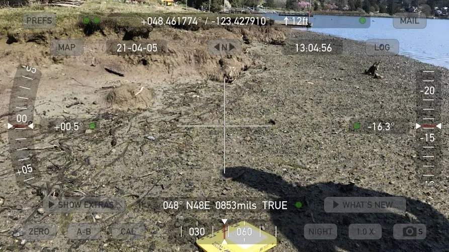
Technical photo of the rocky shoreline with a digital overlay showing geographic coordinates and elevation data

Restoration Design and Implementation
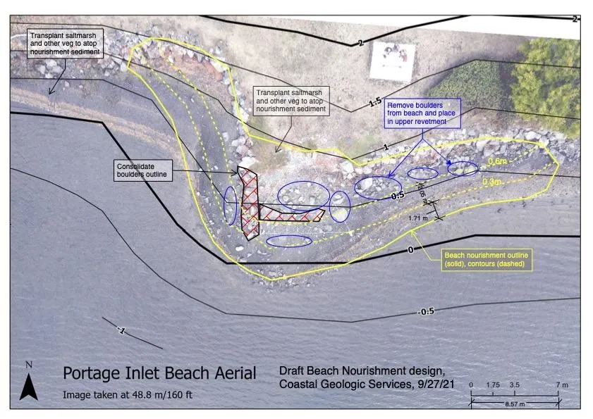
Draft beach nourishment design aerial for Portage Inlet Beach showing contours and plans for sediment placement and boulder management

Restoration activities included the removal of large boulders from the beach and the placement of beach nourishment sediment to create spawning habitat.
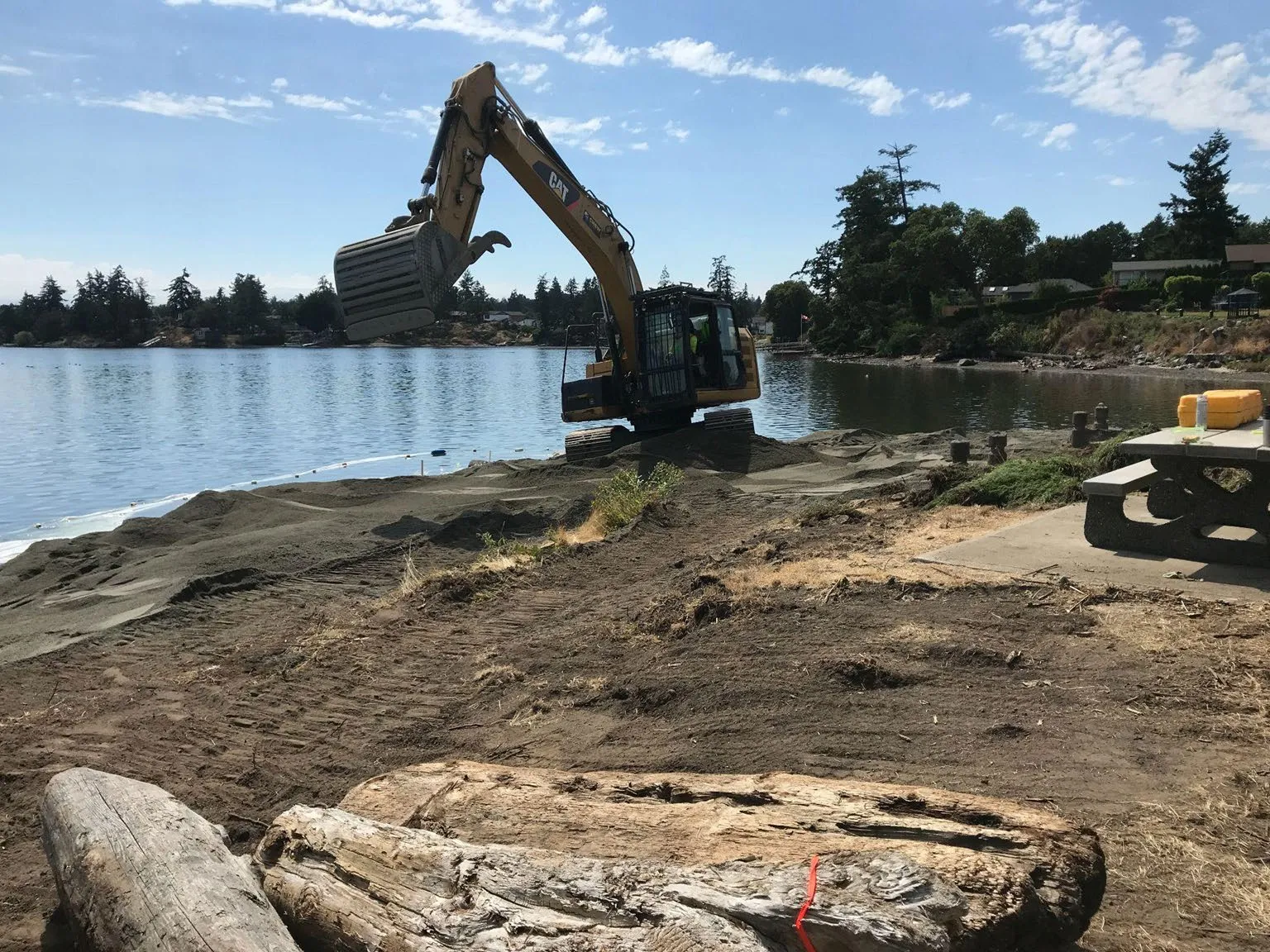
An excavator working to shape the shoreline and place restoration sediment
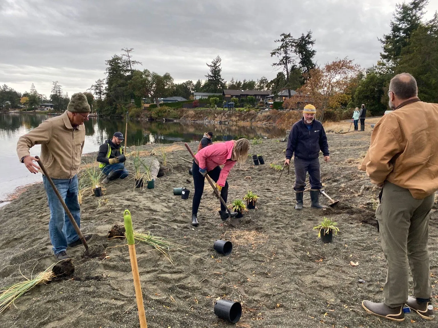
Volunteers planting native vegetation in the newly restored beach sediment

Completed Restoration

Photo of the restored beach area featuring natural sediment and large driftwood logs
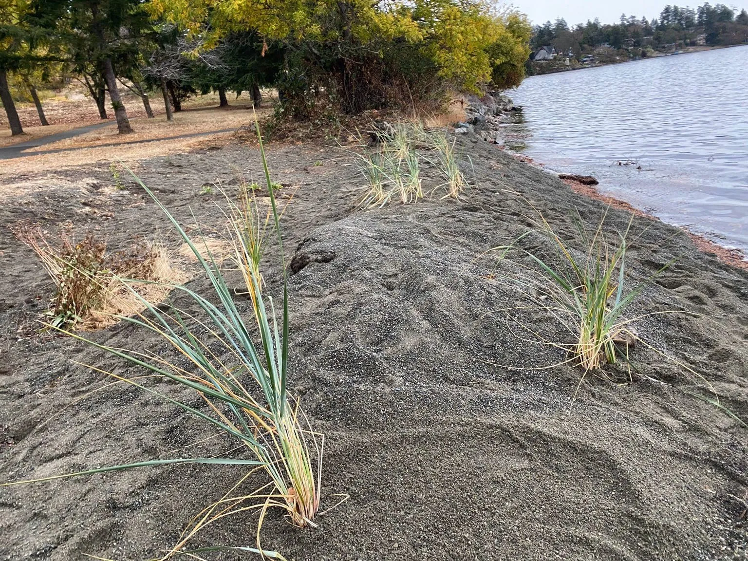
Close-up photo of newly planted dune grass established in the sand and gravel sediment

Page 121–155

Hospital Creek Marsh Restoration

Hospital Creek Watershed map with land cover distribution chart showing 38% tree cover and 18.6% impervious surfaces (buildings, roads, parking lots)

Marsh habitats in the area have faced significant degradation, partly due to over-grazing by residential Canada Goose populations.
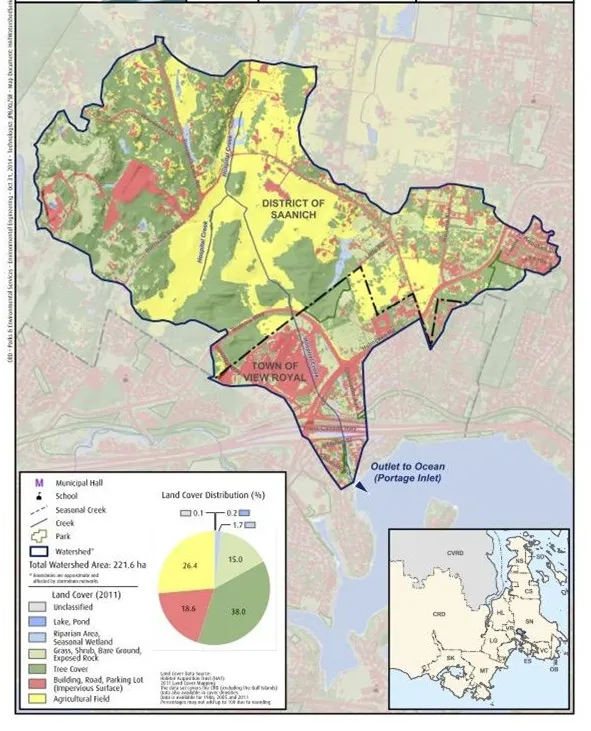
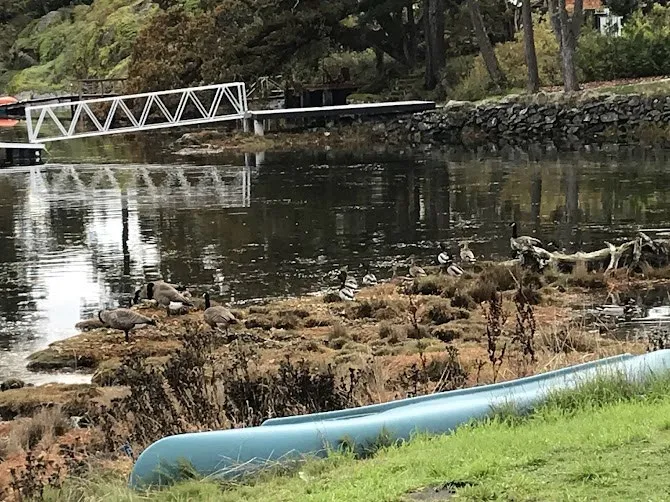
Photo of Canada geese on a small marsh island near the mouth of Hospital Creek
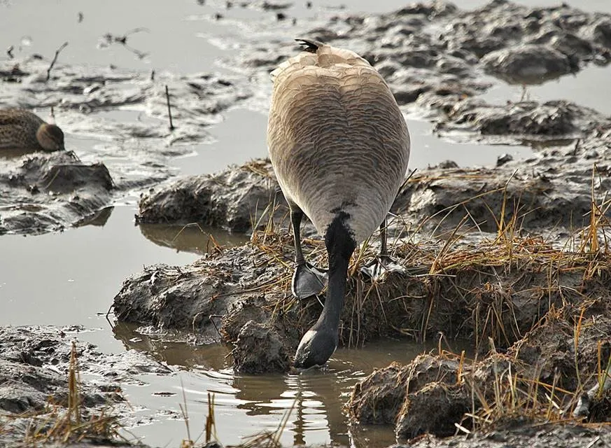
Photo of a Canada goose feeding in a muddy, degraded section of the marsh

Page 121–155

Portage Inlet Marsh Restoration

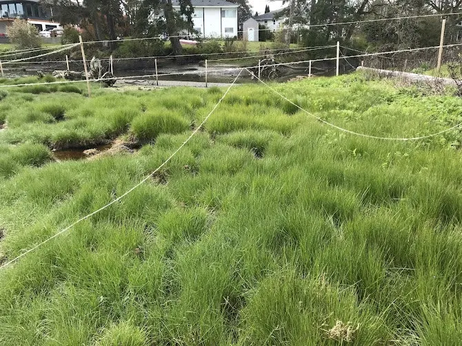
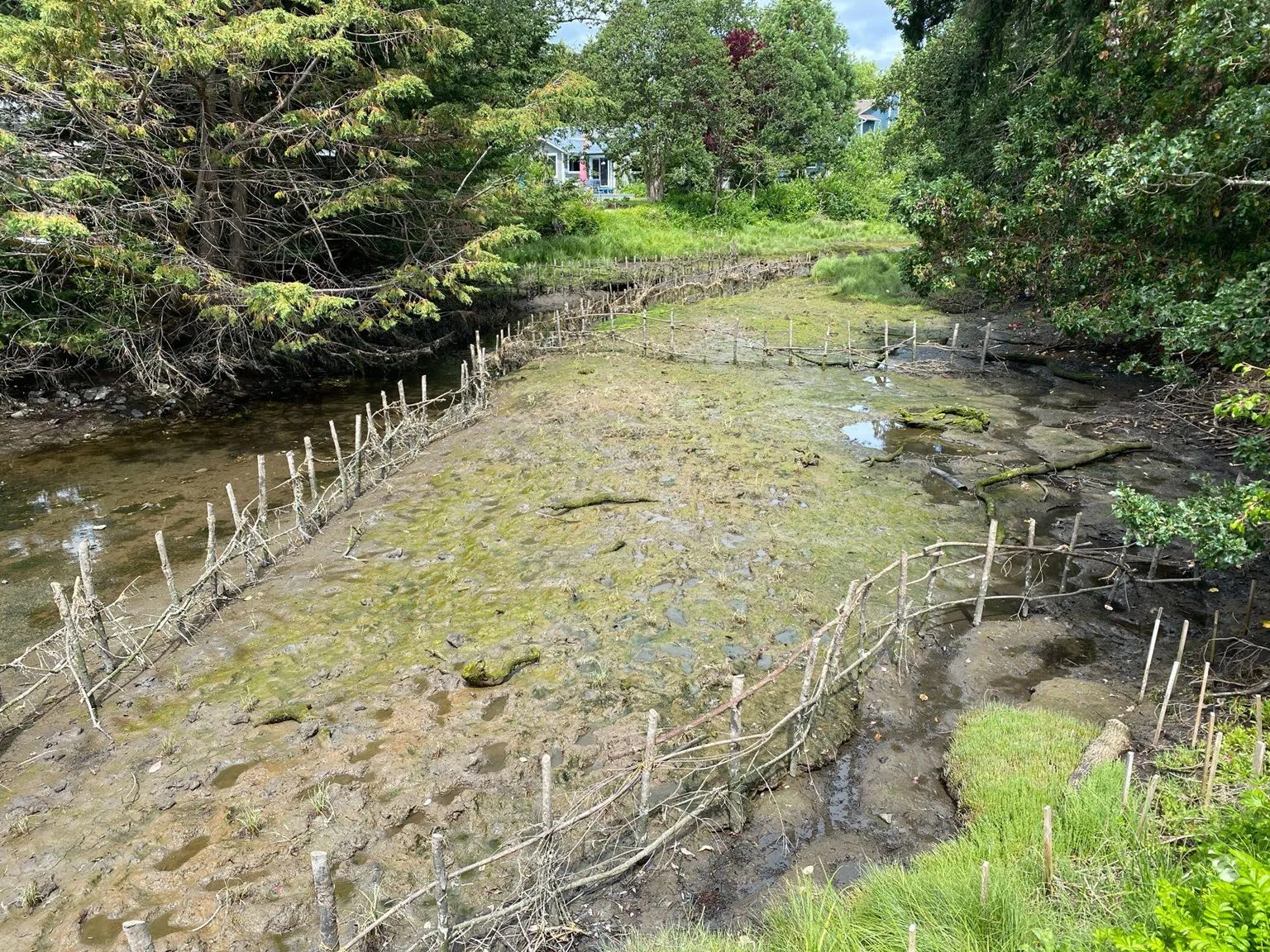
Restoration efforts focus on protecting and replanting tidal marshes, often requiring fencing to exclude grazing geese.
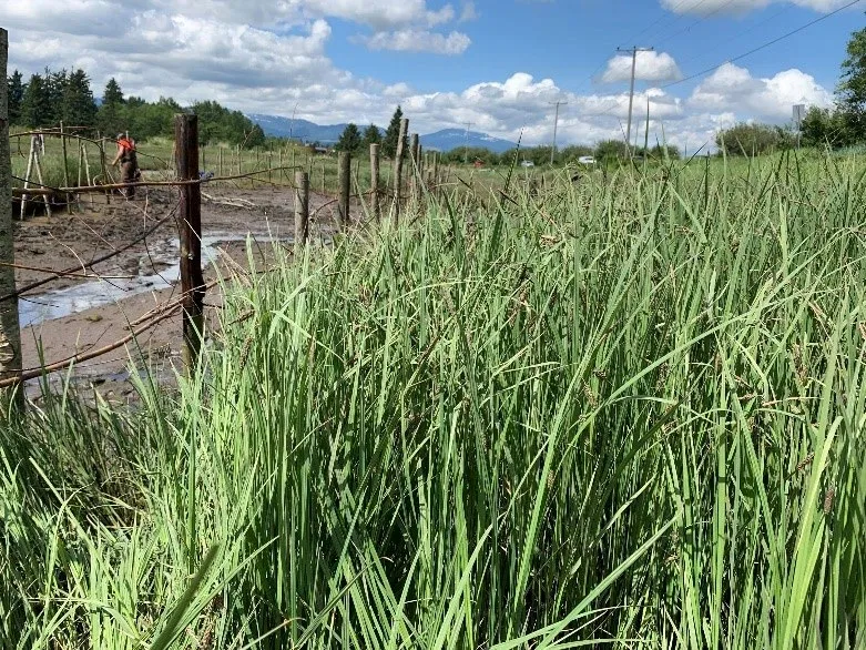
A fenced marsh restoration area showing lush, tall green grass protected from grazing, adjacent to a bare, muddy area
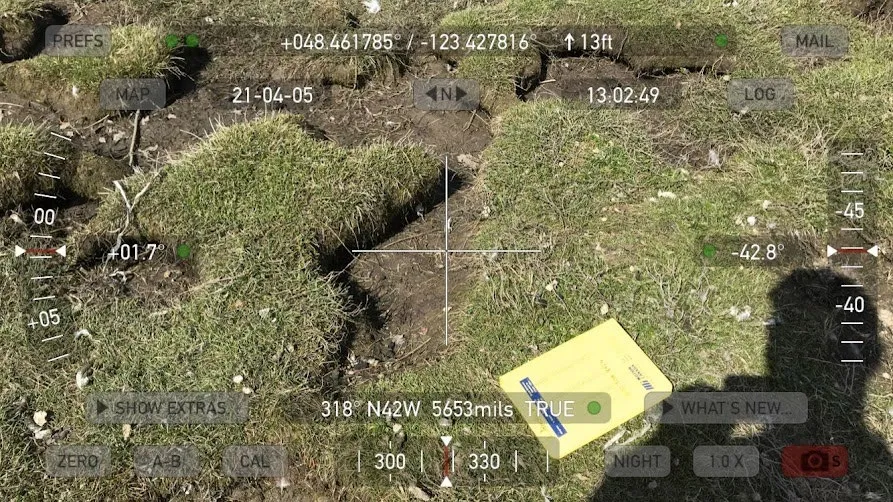
Technical photo showing an eroded marsh bank with technical data overlay
Photo of an eroded shoreline area with sparse vegetation and large driftwood

Canada Goose Population Impacts

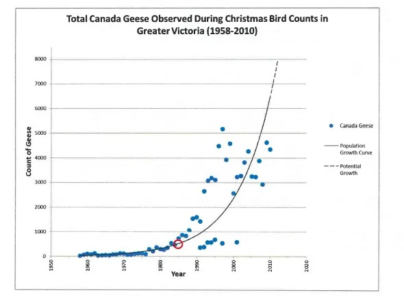
The proliferation of non-migratory Canada Goose subspecies has led to the intensive over-grazing and subsequent loss of marsh vegetation.
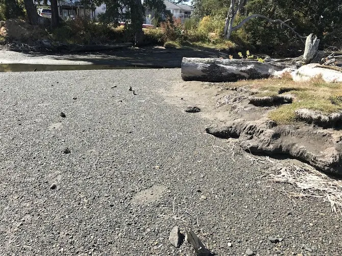
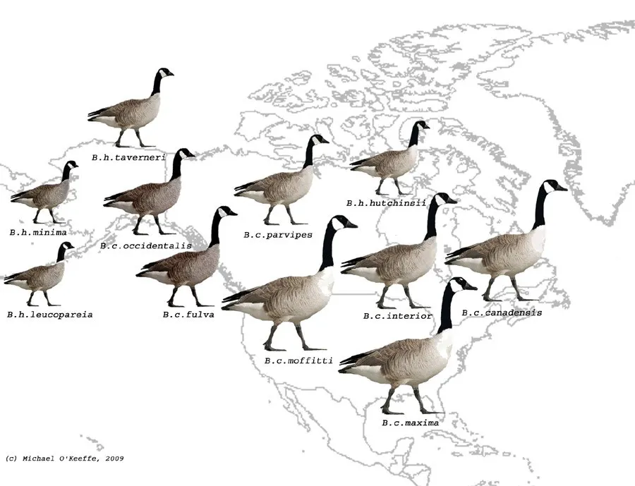
Map of North America showing the breeding ranges of various Canada Goose subspecies
Graph titled "Total Canada Geese Observed During Christmas Bird Counts in Greater Victoria (1958-2010)" showing exponential population growth over several decades

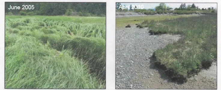
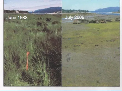
Historical comparisons illustrate the rapid loss of marsh habitat.
Comparison photos of a marsh area in June 1988 (thick vegetation) and July 2009 (nearly devoid of vegetation)
Side-by-side photos from June 2005 and April 2010 showing the rapid disappearance of marsh grass

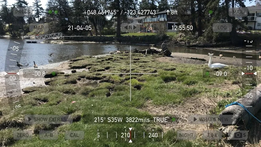
Grazing damage results in an irregular, pockmarked marsh surface.
Technical photo of a degraded marsh area with visible grazing damage, with a swan and geese present
Close-up technical photo showing the irregular surface of a marsh damaged by intensive grazing

Restoration Success and Community Engagement

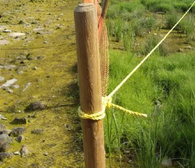
Fencing has proven to be an effective method for allowing marsh areas to recover.
Close-up of a wooden fence post and rope used for marsh protection
Photo of lush, green vegetation flourishing within a protected, fenced marsh area
Another view of healthy, recovered marsh habitat within a fenced enclosure

Work continues to expand restoration to new marsh areas.
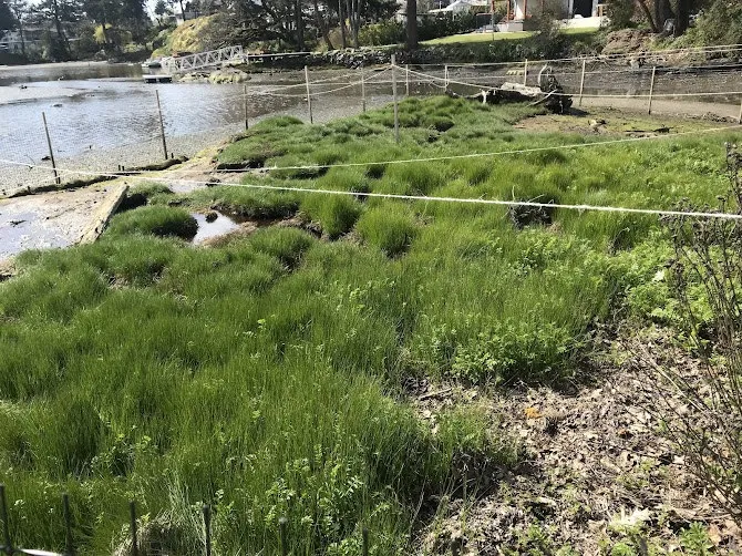
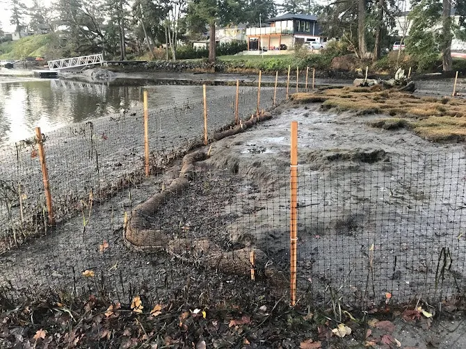
Photo of a newly fenced and protected mudflat area being prepared for marsh restoration
Photo of a marsh restoration site with new plantings and protective fencing
Overview photo of a marsh area being prepared for restoration with many wooden stakes installed for fencing
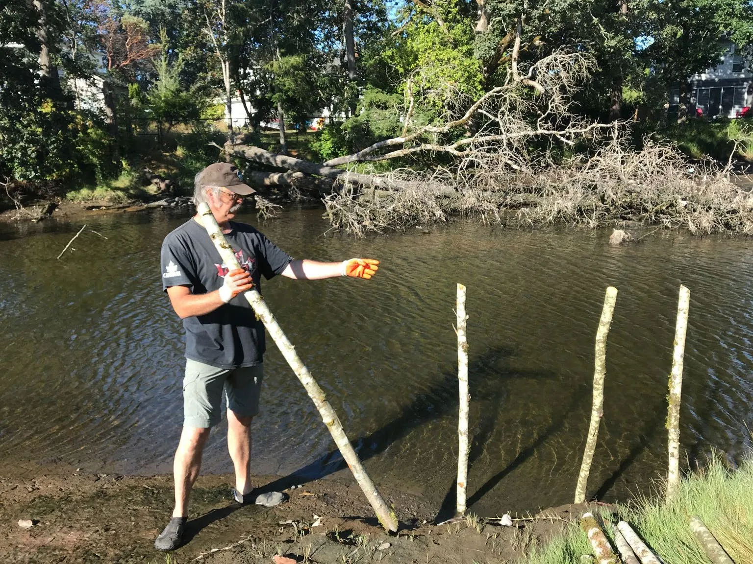
Photo of a person installing a wooden stake into the ground at a restoration site

Page 121–155

View Royal Park Tidal Marsh Restoration
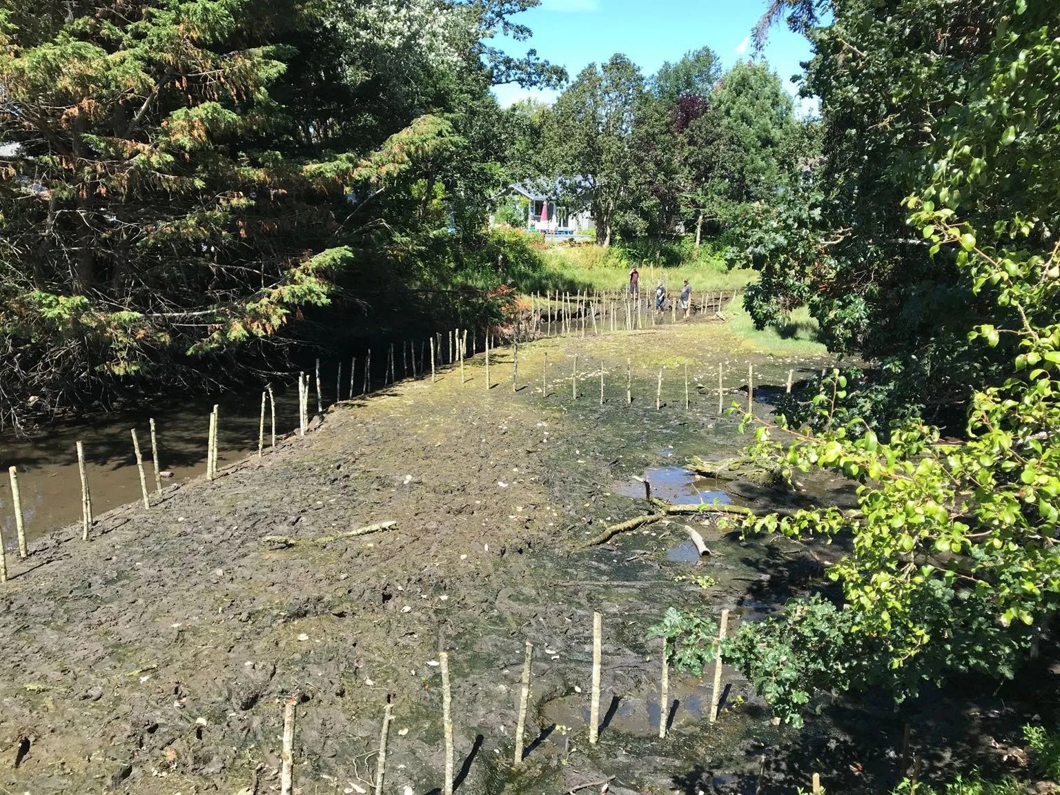
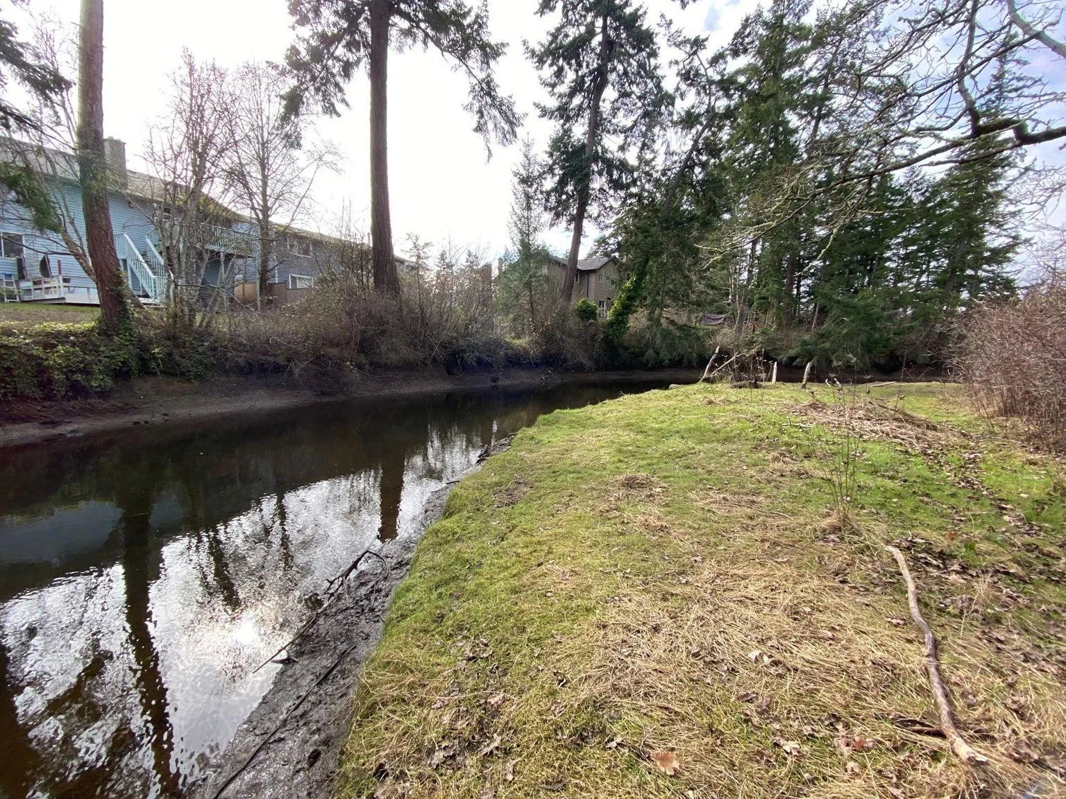
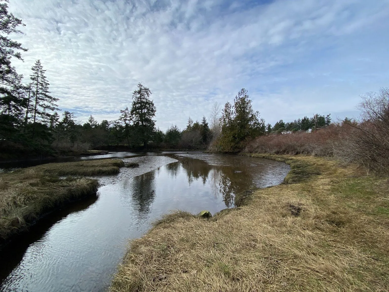
Photo of Craigflower Creek and its tidal marsh area in View Royal Park

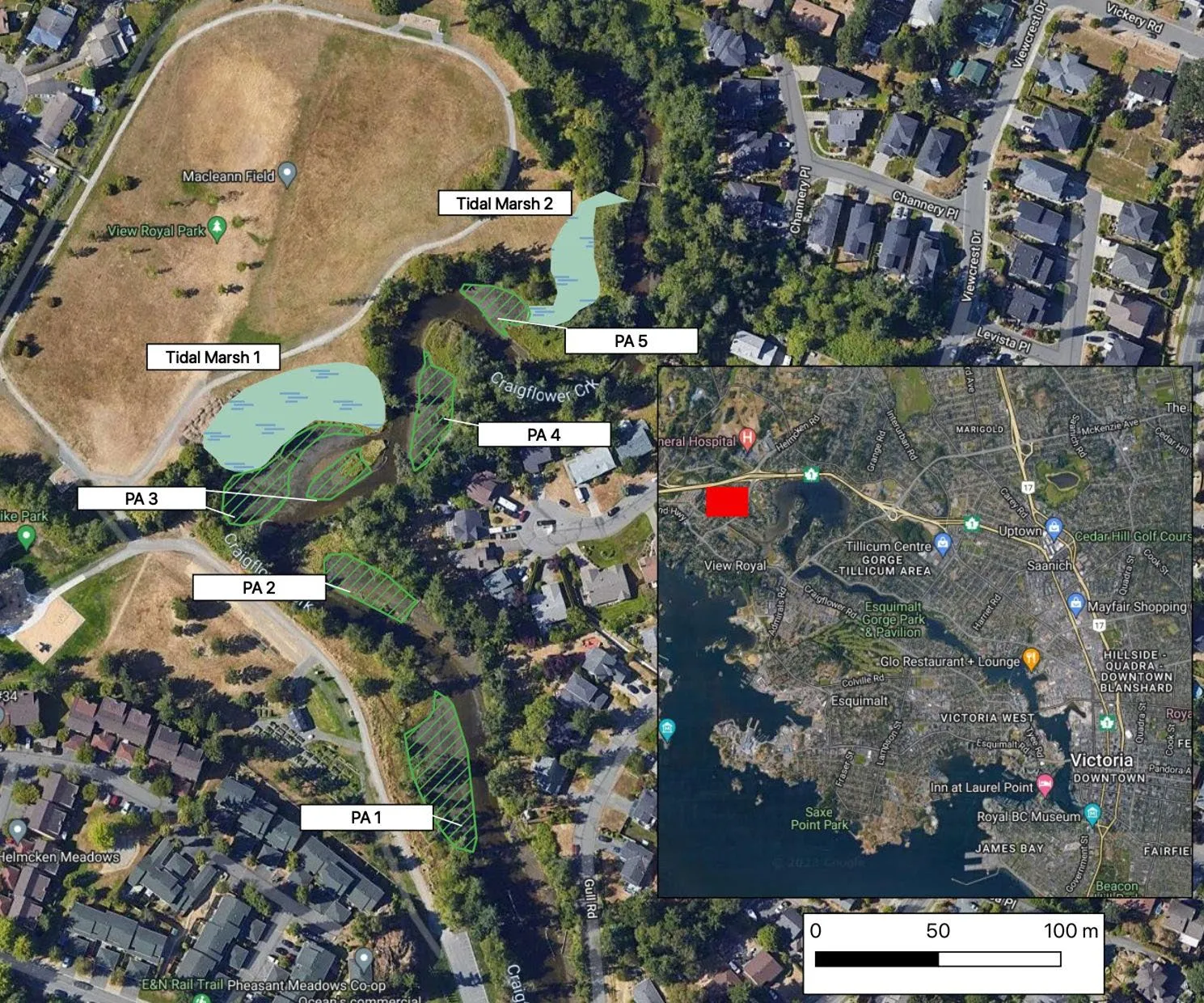
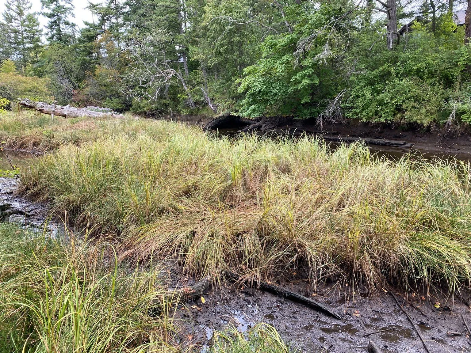
A multi-phase restoration project is planned along the banks of Craigflower Creek.
Aerial map of View Royal Park identifying five marsh restoration Priority Areas (PA 1 through PA 5) along Craigflower Creek
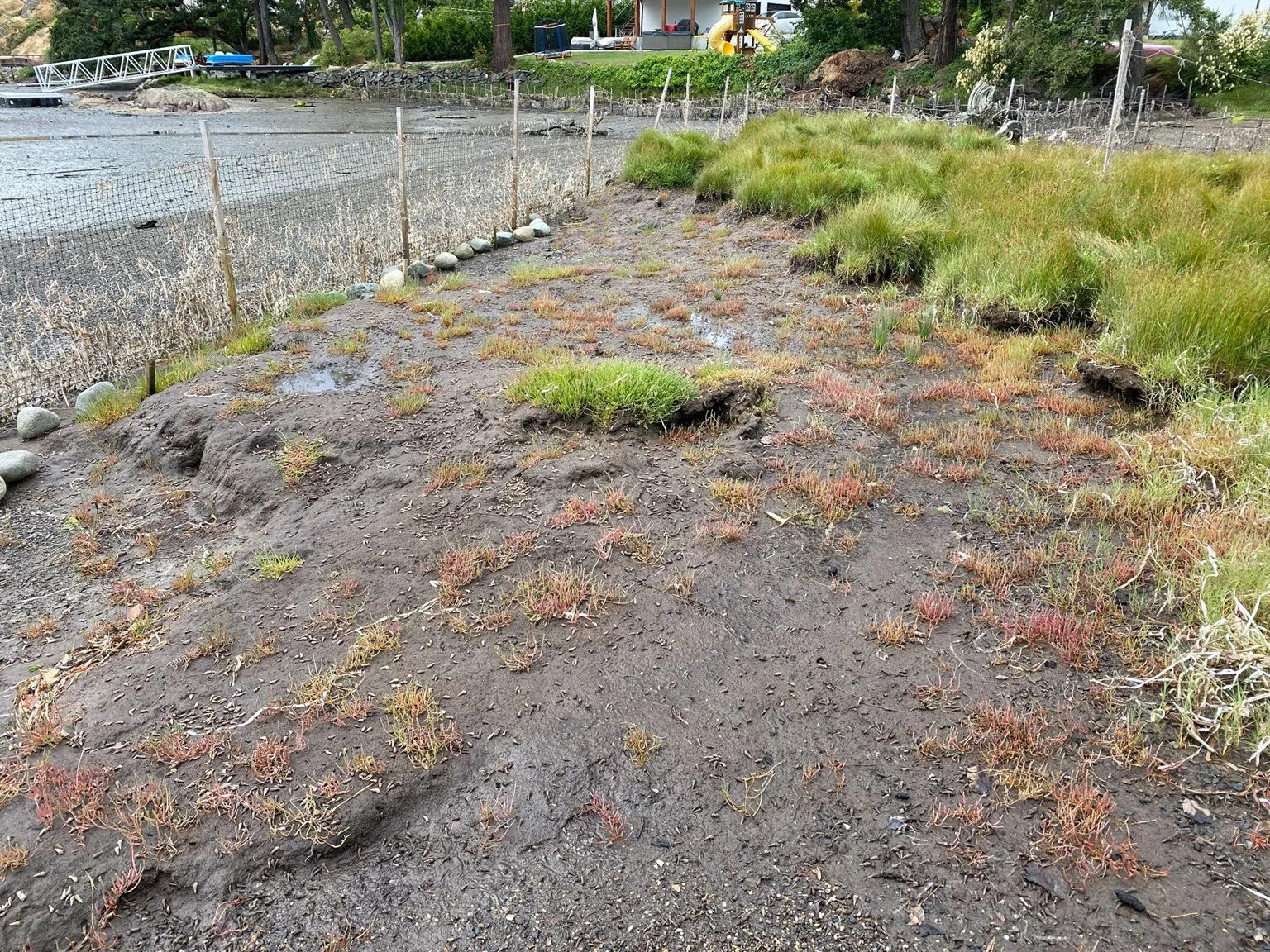
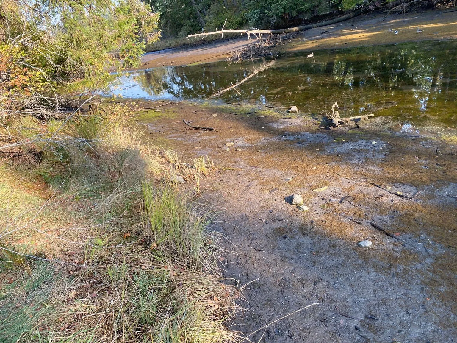
Photo of a muddy marsh area targeted for restoration along the creek
Photo of healthy native marsh vegetation along a section of the creek bank

Community volunteers play a vital role in implementing these restoration designs.
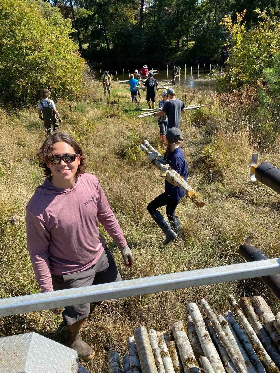
Volunteers carrying bundles of wooden stakes to a marsh restoration site
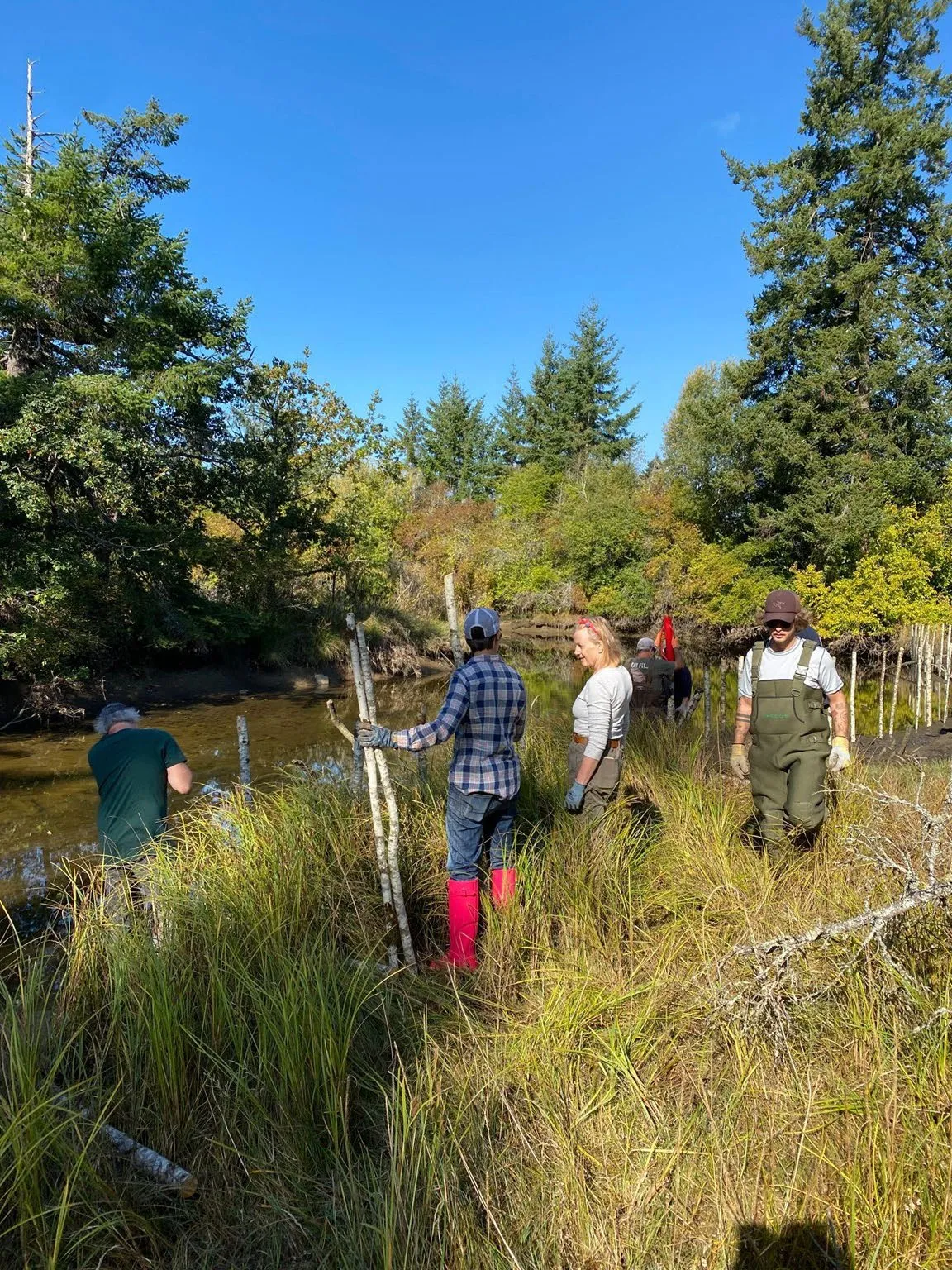
A team of volunteers working together to install a protective fence around a restoration area
Photo of a completed marsh restoration enclosure made with natural wooden stakes

Future Habitat Enhancements

Plans for further habitat improvements in View Royal Park are being developed.
Aerial map of Craigflower Creek restoration areas with a red box highlighting "Tidal Marsh 1"
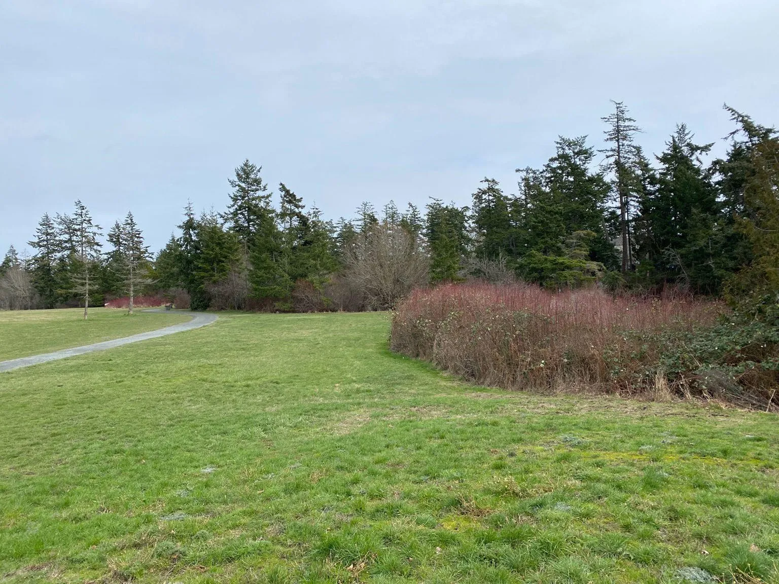
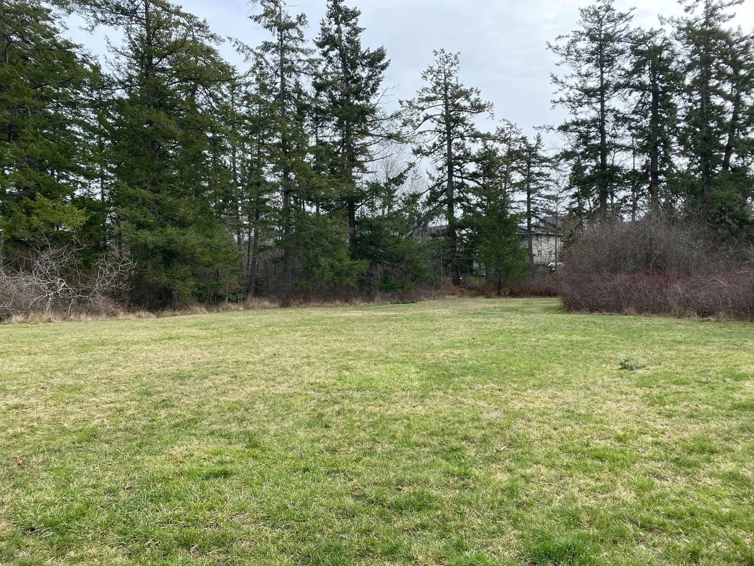
Photo of a grassy field in View Royal Park with a red arrow pointing toward a thicket designated for enhancement
Photo of a park field with a diagram overlay showing proposed habitat features and movements

Page 121–155

Ask

  • Letter of support for PSF/PSS application (Dec 13) for NBS Project
  • In-Kind Contribution of matching funding and/or closely aligned works (fencing, other marsh/riparian restoration), staff engagement/participation/support, other misc.) 30,000/year over 3 years
  • Total View Royal Project Portion Value estimated at over ~$300,000.00 (engagement, baselines, designs, outreach, construction, planting, monitoring, maintenance)
Page 121–155

Document Images

(2)
Document image
Document image
Extracted from: 2023 12 12 Committee of the Whole Agenda - Agenda - Pdf