Appendix
TRAFFIC CALMING STORMONT RD - WATT CONSULTING
December 12, 2023Page 3001 section
A technical design drawing showing the proposed placement of precast concrete planters for a chicane on Stormont Road.
Dated: October 12, 2023Design vehicle speed: 30 km/hConsultant: Watt Consulting Group
TRAFFIC CALMING STORMONT RD VIEW ROYAL TRAFFIC CALMING
Project Details
| Field | Detail |
|---|---|
| PROJECT NO: | 3615.B01 |
| DRAWING NO: | STORMONT RD_P1 |
| DATE: | OCT 12 2023 |
| REVISION: | 0 |
| DESIGN SPEED: | 30 km/h |
| SCALE: | 1:500 |
| DESIGNED: | OK |
| DRAWN: | OK |
| CHECKED: | AK |
| APRVD: | AK |
Revisions
| No. | Description | Date |
|---|---|---|
| 0 | ISSUED FOR REVIEW | OCT 12-23 |
Design Notes
These Design Documents are prepared solely for the use by the party with whom the Design Professional has entered into a contract, and there are no representations of any kind made by the Design Professional to any party with whom the Design Professional has not entered into contract.
Project Plan Overview
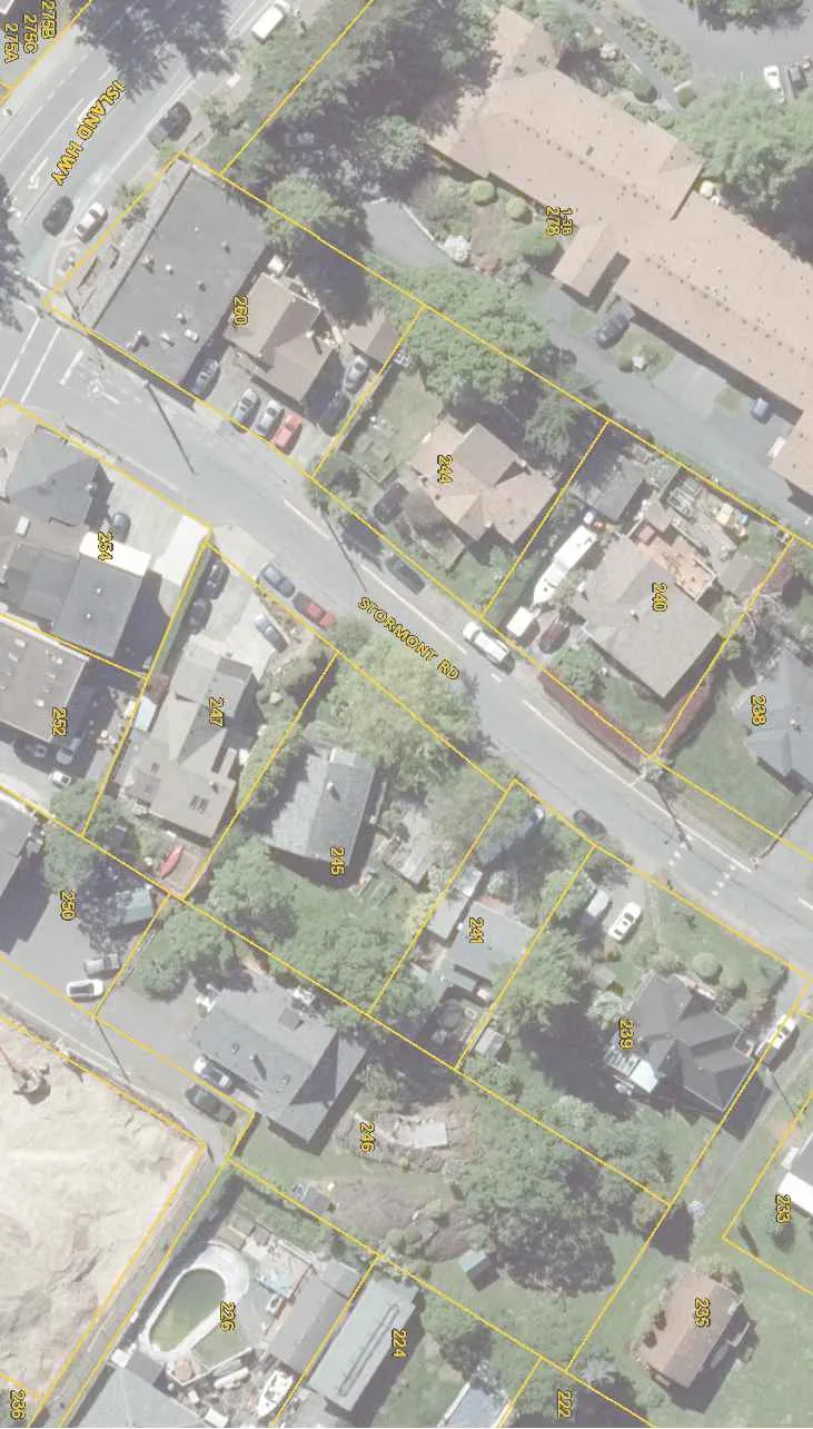
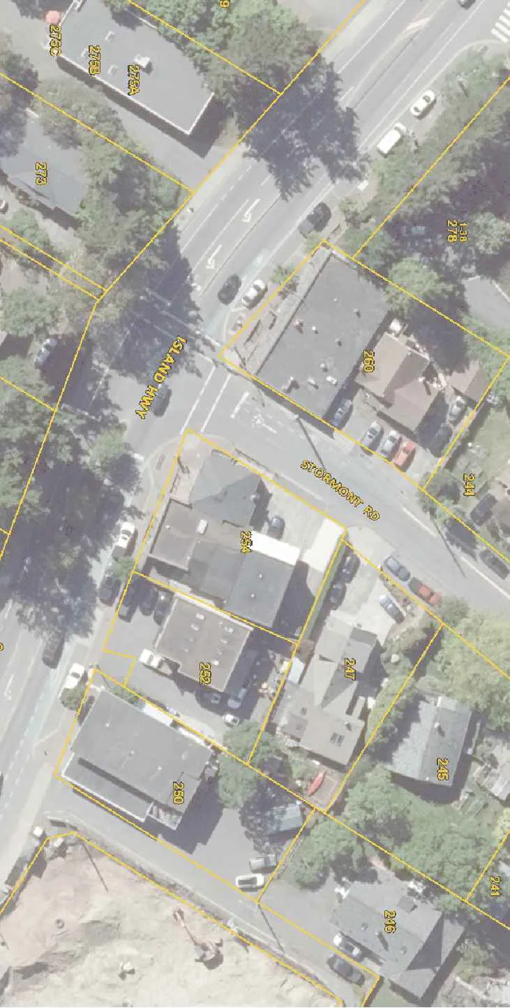
The plan illustrates proposed traffic calming measures on Stormont Rd, originating from the intersection with Island Hwy.
Key infrastructure elements include:
- 3X PRECAST CONCRETE PLANTER RD4836: Ø1.2m typical diameter, located at two points along Stormont Rd.
- Hazard Signage: W-054-L and W-054-R markers associated with the concrete planters.
Affected Properties (Address/Lot Numbers)
The following properties are identified along the project corridor:
- Island Hwy: 275A, 275B, 275C, 273
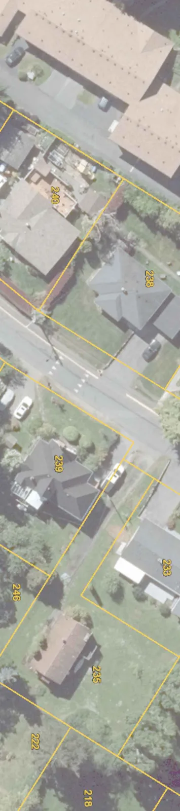
- Stormont Rd (Southwest to Northeast): 260, 254, 252, 250, 247, 245, 241, 244, 240, 238, 233, 239, 235, 246, 224, 226, 222, 236, 218
Page 300
Extracted from: 2023 12 12 Committee of the Whole Agenda - Agenda - Pdf