Appendix
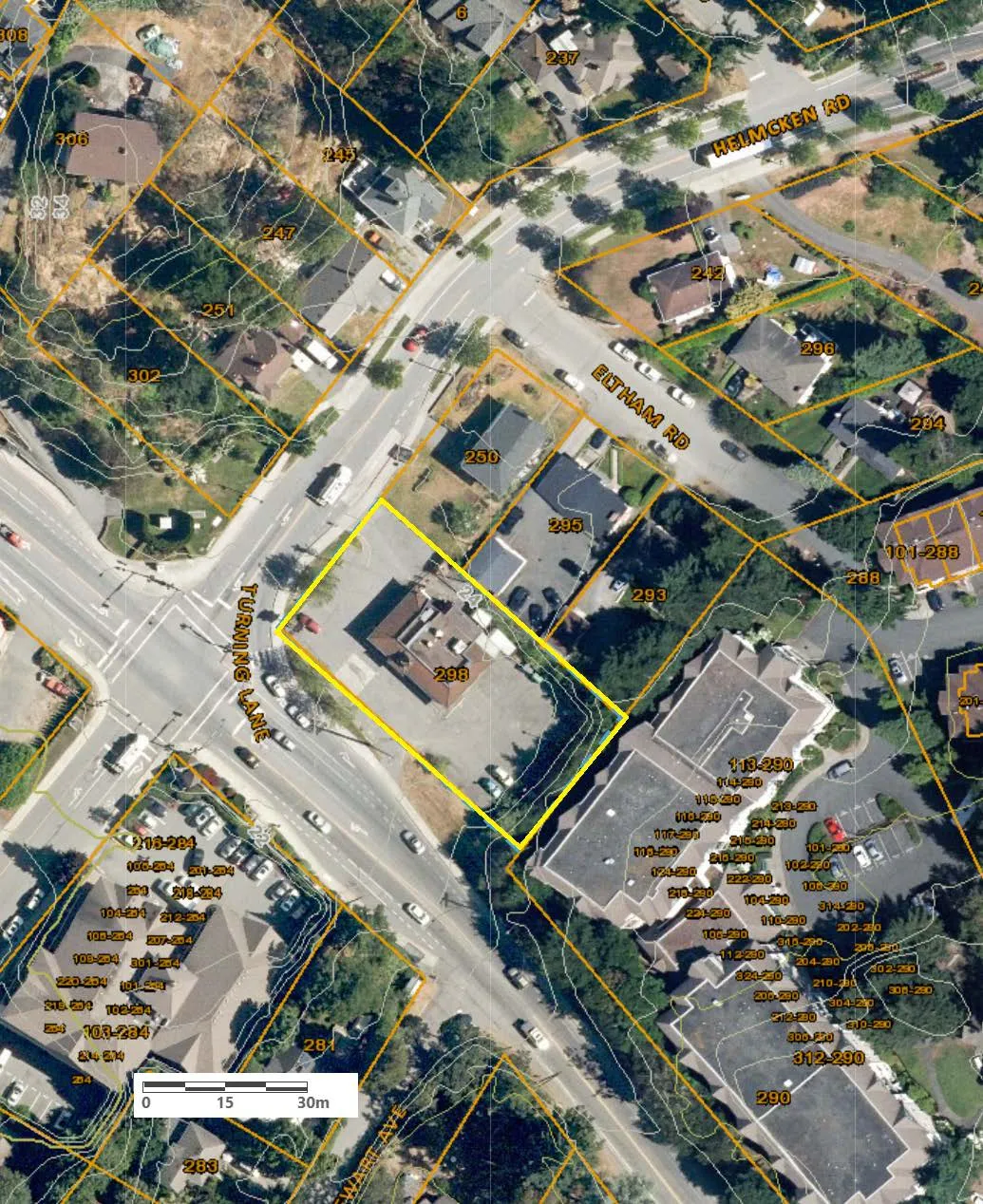
Attachment 2 - Subject Property Orthophoto 298 Island Highway
July 13, 2021Page 1481 section
Aerial orthophoto of the 298 Island Highway site.
Attachment 2
Page 148
Extracted from: 2021 07 13 Committee of the Whole Agenda - Agenda - Pdf
Aerial orthophoto of the 298 Island Highway site.