Attachment 4 - Architectural Drawings for 298 Island Highway
Full set of architectural drawings including statistics, site plans, floor plans, elevations, and 3D representations.
298 Island Highway, Victoria, B.C.
Mixed-Use - Commercial / Residential Development
Issued for Rezoning - June 17, 2020 Issued for Development Permit - May 21, 2021
Project Team
- Client: Royale Development Corp., 1151 West 32nd Avenue, Vancouver, BC, V6H 2H8. Contact: Jeffrey Sengara.
- Architect: Ankenman Marchand Architects, 1645 West 5th Avenue, Vancouver, BC V6J 1N5. Contact: Timothy Ankenman.
- Surveyor: Glen Mitchell Land Surveying Inc., 1030 North Park Street, Victoria, BC V8T 1C6. Contact: Glen Mitchell.
- Landscape: Lombard North Group, 836 Cormorant Street, Victoria, BC V8W 1R1. Contact: James Partlow.
- Traffic: ADDOZ Engineering Inc., 4128 Fraser Street, Vancouver, BC V5V 4E8. Contact: Emad Ealsaidi.
Sheet Index
| Sheet Number | Sheet Name |
|---|---|
| A001 | Cover Page & Drawing List |
| A002 | Statistics |
| A030 | Context |
| A040 | Streetscape - Island Hwy |
| A041 | Streetscape - Helmcken Rd |
| A050 | Building Code Data |
| A090 | Shadow Study |
| A100 | Survey |
| A101 | Site Plan |
| A105 | Parking Level - P2 Floor Plan |
| A107 | Parking Level - P1 Floor Plan |
| A110 | Ground Floor Plan |
| A120 | Level 2 Floor Plan |
| A130 | Level 3 Floor Plan |
| A140 | Level 4 Floor Plan |
| A150 | Level 5 Floor Plan |
| A160 | Level 6 Floor Plan |
| A170 | Roof Plan |
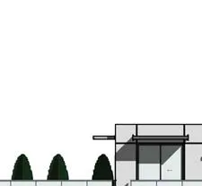
| A200 | Elevation - South |
| A210 | Elevation - West |
| A220 | Elevation - North |
| A230 | Elevation - East |
| A300 | Section 1 - East & West - Main Ramp |
| A310 | Section 2 - East & West - Stair |
| A320 | Section 3 - East & West |
| A330 | Section 4 - North & South - Ramp |
| A340 | Section 5 - North & South |
| A600 | 3D Representations |
| A610 | 3D Representations |
| A810 | Areas - Level 1 |
| A820 | Areas - Level 2 |
| A830 | Areas - Level 3 |
| A840 | Areas - Level 4 |
| A850 | Areas - Level 5 |
| A860 | Areas - Level 6 |
Statistics
Project Data
- Legal Description: Lot 1, Section 8, Esquimalt District, Plan 35505. PID 000-348-554.
- Civic Address: 298 Island Highway, Victoria, BC.
- Zoning: Current: C-1 (Community Commercial); Proposed: CD (Comprehensive Development - Mixed Use).
- Site Area: 1,853.00 m² (19,945.53 SF).
Development Summary
- Proposed Gross FSR: Proposed per CD = 3.0 (5,559.00 m² / 59,836.58 SF).
- Proposed Site Coverage: 1,391.00 m².
- Height: Proposed per CD = 20.23 m (6 Storeys).
- Setbacks:
- Front lot line (Island Hwy): 0 m.
- Rear lot line: varies 3.12 m to 3.95 m.
- Side lot line (Helmcken Rd): 0 m.
- Flanking lot line: varies 3.12 m to 4.33 m.
Parking and Loading
- Residential Parking Required (55 units): 74 stalls.
- Commercial Parking Required (583.03 m²): 28 stalls.
- Total Parking Required: 102 stalls.
- Total Parking Provided: 104 stalls.
- Residential: 75 stalls.
- Commercial: 29 stalls.
- Bicycle Parking:
- Residential Required: 55 Class 1, 1 Class 2.
- Residential Proposed: 67 stalls (32 Class 1 Horizontal, 29 Class 1 Vertical, 6 Class 2).
- Commercial Proposed: 8 stalls (2 Class 1 Horizontal, 6 Class 2).
- Loading: Seeking relaxation on 1 loading stall.
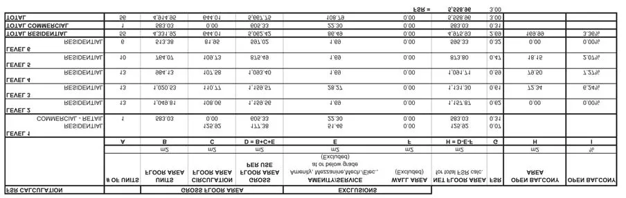
FSR Calculation Table
Residential Unit Mix
| Unit Type | Count |
|---|---|
| 1 BDR | 9 |
| 1 BDR + D | 10 |
| 2 BDR | 20 |
| 2 BDR + D | 15 |
| 3 BDR | 1 |
| Total Residential Units | 55 |
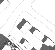
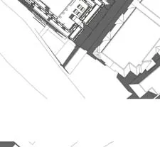
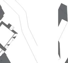
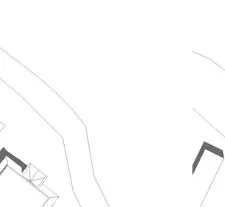
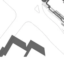
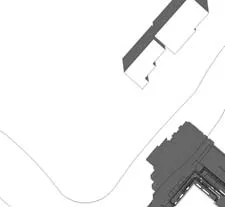
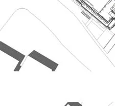
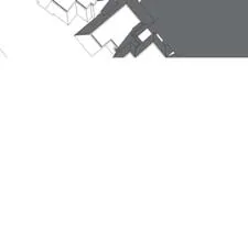
Context
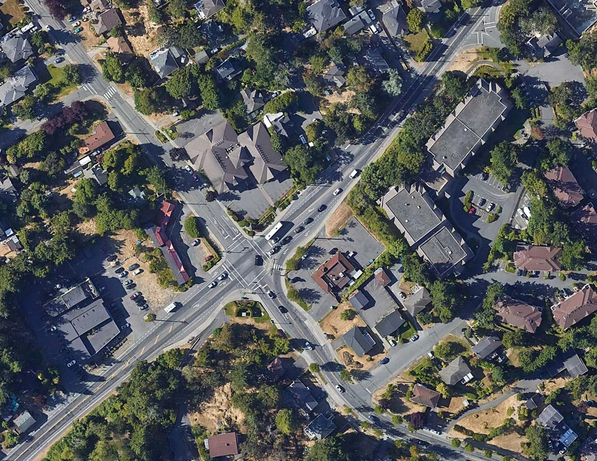
Streetscapes
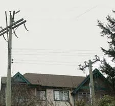
Island Highway
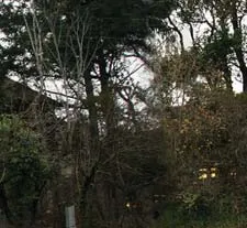
Helmcken Road
Building Code Data
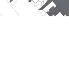
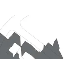
Shadow Study
The study includes solar path diagrams for June 21, March/September 21, and December 21 at 10 AM, 12 PM, and 2 PM.
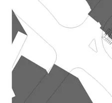
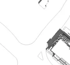
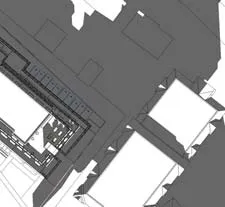
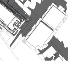
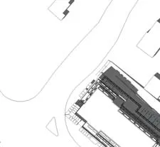
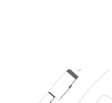
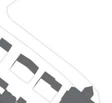
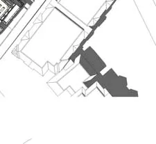
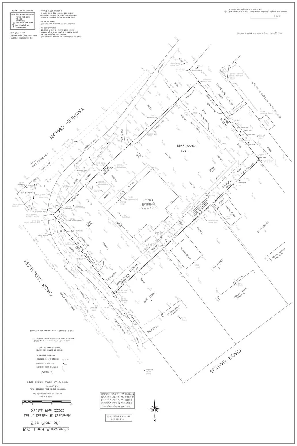
Survey and Site Plan
B.C. Land Surveyor's Site Plan
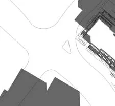
Site Plan
Floor Plans
Parking Level - P2
Parking Level - P1
Ground Floor Plan
Level 2 Floor Plan
Level 3 Floor Plan
Level 4 Floor Plan
Level 5 Floor Plan
Level 6 Floor Plan
Roof Plan
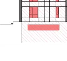
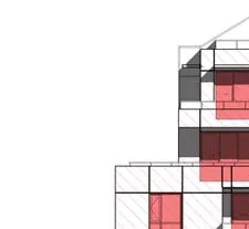
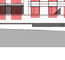
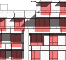
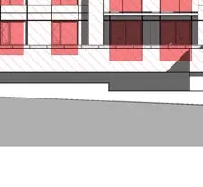
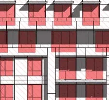
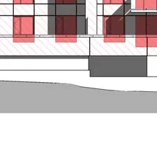
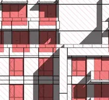
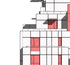
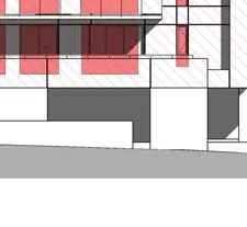
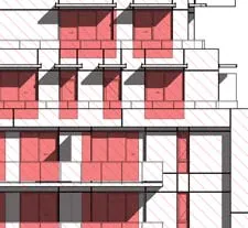
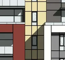
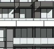
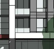
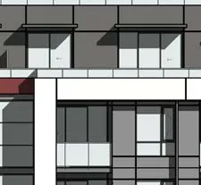
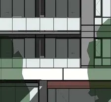
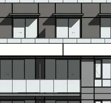
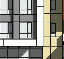
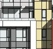
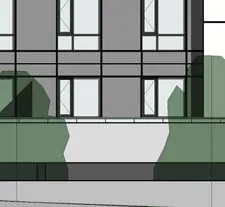
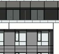
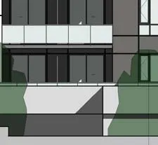
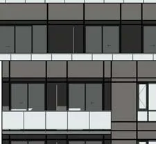
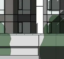
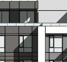
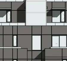
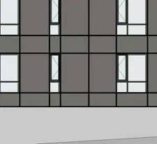
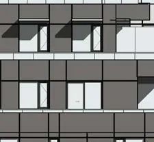
Elevations and Materiality
Material Legend:
- Fibre cement panel: Light Grey
- Fibre cement panel: Dark Grey
- Fibre cement panel: White
- Fibre cement panel: Ash Wood Texture
- Fibre cement panel: Mahogany Wood Texture
- Fibre cement panel: Light Beige
- Fabric awning: Red
- Storefront glass & aluminium: Aluminium
- Metal & glass guard rail: Aluminium
- Vinyl windows: Charcoal
- Cast-in-place concrete
- Aluminium window: Charcoal
- Metal sunshade: Aluminium
- Wood & glass canopy
- Metal & glass curtain wall: Aluminium
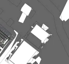
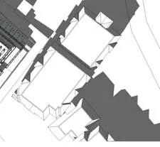
Building Sections
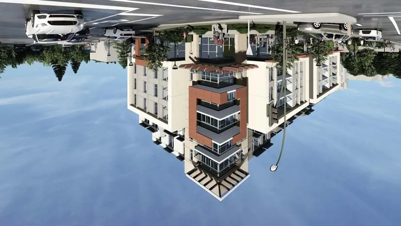
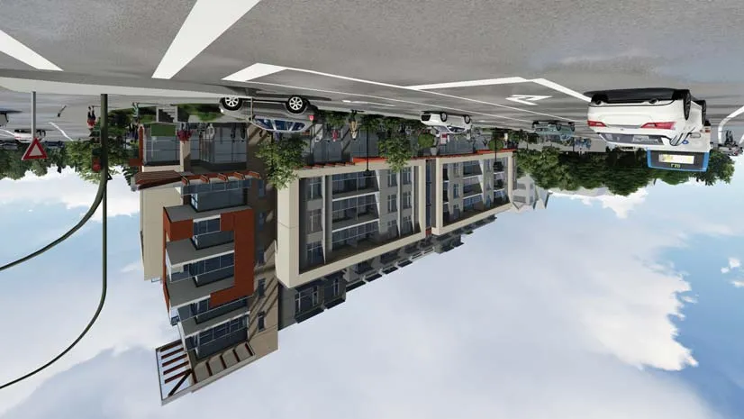
3D Representations
Area Analysis
Level 1 Areas
- Residential Lobby: 57.99 m²
- Commercial Unit 1: 583.03 m²
- Total Included Area: 708.62 m²
Level 2 Areas
- Net Floor Area: 1,157.87 m²
- Total Units: 13
Level 3 Areas
- Net Floor Area: 1,131.30 m²
- Total Units: 13
Level 4 Areas
- Net Floor Area: 1,091.71 m²
- Total Units: 13
Level 5 Areas
- Net Floor Area: 873.80 m²
- Total Units: 10
Level 6 Areas
- Net Floor Area: 595.33 m²
- Total Units: 6
Document Images
(348)
Cropped detail of a vehicle from a street-level rendering

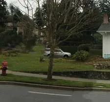
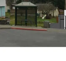
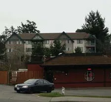
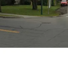
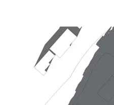
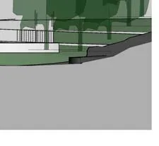
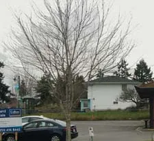
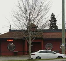
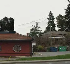
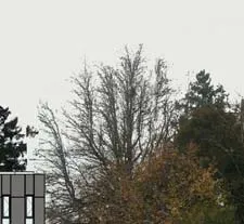
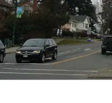
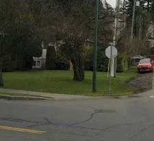
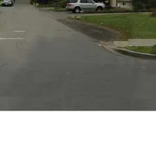
Photograph of the existing streetscape looking northwest along Island Highway

Detail of a vehicle in the existing streetscape photograph

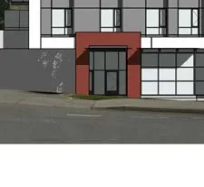
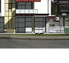
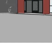
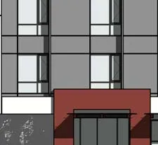
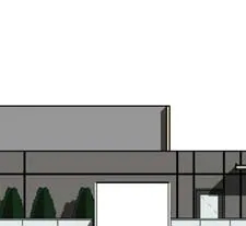
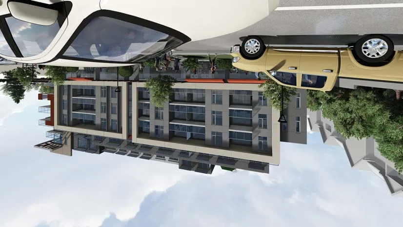
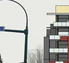
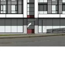
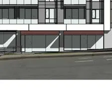
Rendering of the proposed building facade as seen from Island Highway

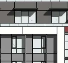
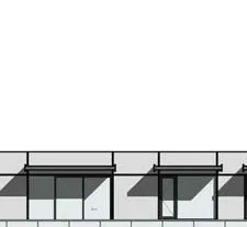
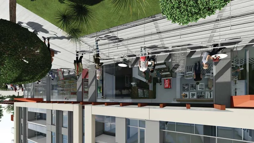
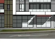
Perspective detail of the street-level commercial storefronts on Island Highway
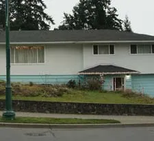
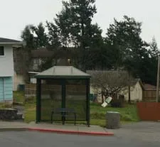
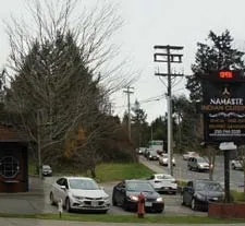
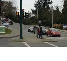
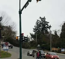
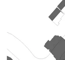
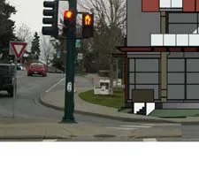
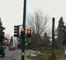
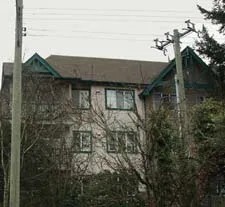
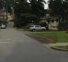
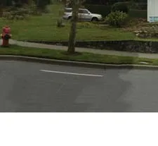
Photograph of the existing streetscape looking northeast along Helmcken Road

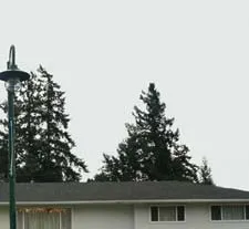
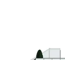
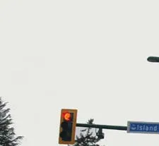
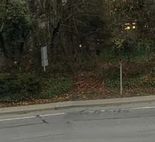
Close-up of existing trees and a traffic signal at the Helmcken Road intersection
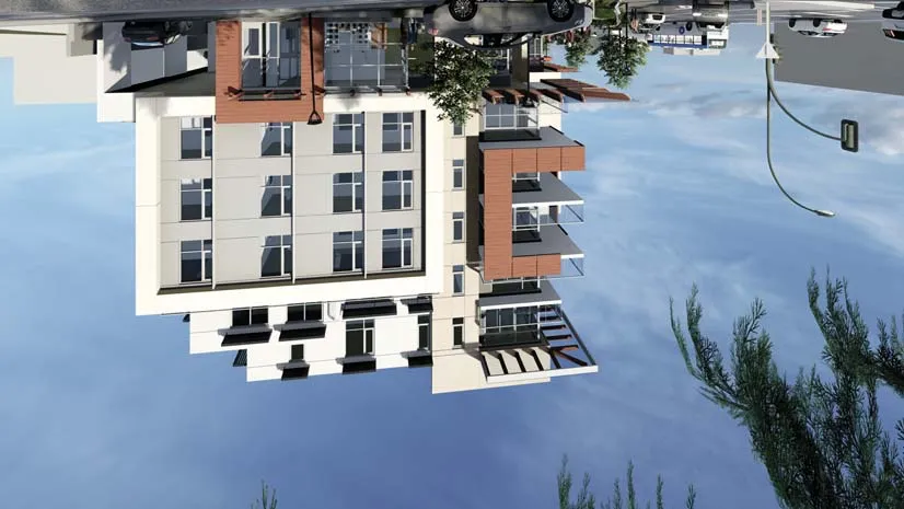
Rendering of the proposed building facade as seen from Helmcken Road
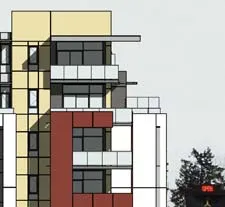
Perspective view of the building's corner architecture at Island Highway and Helmcken Road

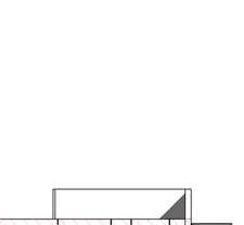
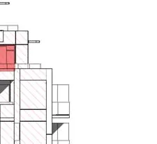
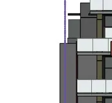
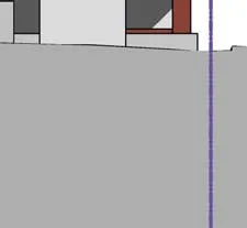
Technical diagram of the East Elevation showing exposed building face calculations

Technical diagram of the North Elevation showing exposed building face calculations
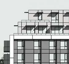
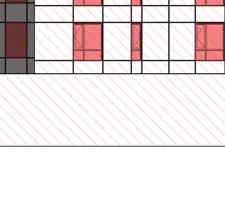
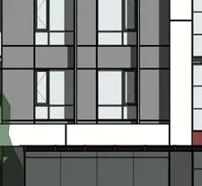
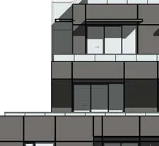
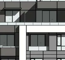
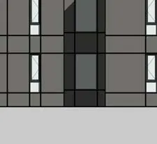
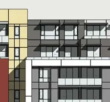
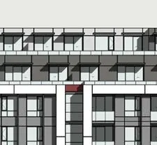
Detail rendering of building window patterns

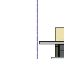
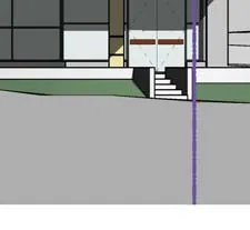
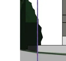
Technical diagram of the West Elevation indicating the lowest average grade and building height of 20.23 m

Detail of ground level entry rendering
Shadow study diagrams for the summer solstice (June)
Shadow study diagrams for the equinoxes (March/September)

Shadow study diagrams for the winter solstice (December)

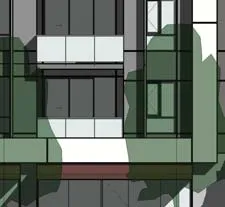
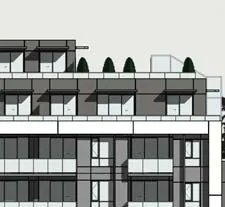
Detail rendering of the upper level residential balconies
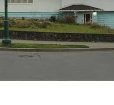
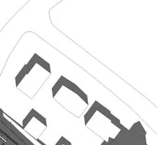
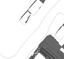
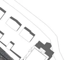
Certified legal survey plan dated January 13, 2020, showing existing site contours and the commercial building at No. 298

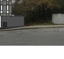
Detail of a street sign in a rendering

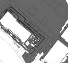
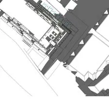
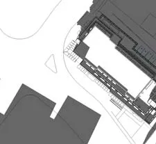
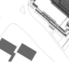
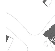
Comprehensive site plan A101 showing building entry points, 19 commercial parking stalls at grade, and landscape buffer zones
Detail of the residential lobby and elevator core area on the site plan
P2 parking level plan A105 showing 45 residential parking stalls, including small car and disability stalls, and a bike storage area

Detail of the elevator and stair core on the P2 level

P1 parking level plan A107 showing 30 residential parking stalls and 11 commercial stalls, with a designated 20-stall bike storage room

Detail of the ramp slope transition from P2 to P1
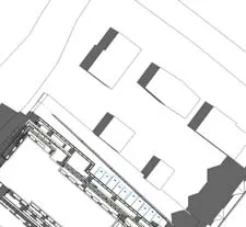
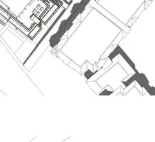
Ground floor plan A110 showing a 583.03 m² commercial retail unit, the main residential lobby (57.99 m²), and the parking entry ramp from Helmcken Road

Detail of the commercial plaza area adjacent to the retail entrance

Level 2 plan A120 containing 13 residential units (Units 201-213) and common circulation corridors
Detail of Unit 211, a 2-bedroom unit with a balcony
Level 3 plan A130 containing 13 residential units (Units 301-313)

Detail of the Level 3 amenity room

Level 4 plan A140 containing 13 residential units (Units 401-413)
Detail of Level 4 residential unit layouts

Level 5 plan A150 containing 10 residential units (Units 501-510) and several roof deck areas

Detail of the large roof deck associated with Unit 509
Level 6 plan A160 containing 6 residential units (Units 601-606) and a common roof deck patio of 147.86 m²
Detail of the common roof deck area

Roof plan A170 showing mechanical equipment screens and the configuration of the upper roof surfaces

Detail of the elevator penthouse on the roof plan

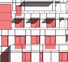
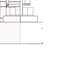
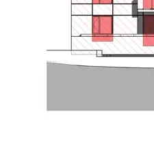
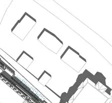
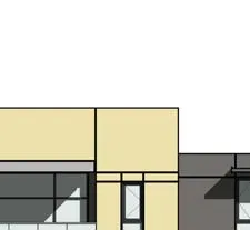
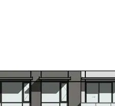
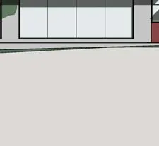
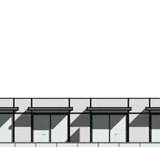
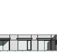
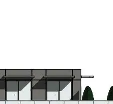
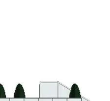
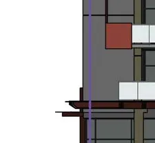
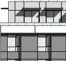
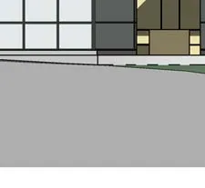
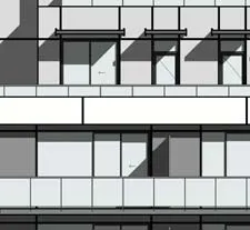
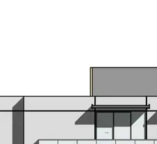
South Elevation A200 showing the building face along Island Highway

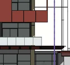
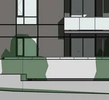
Detail rendering of the South facade materials

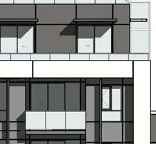
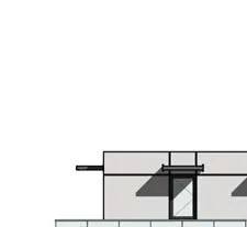
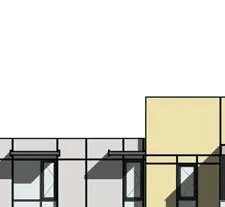
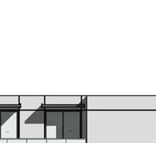
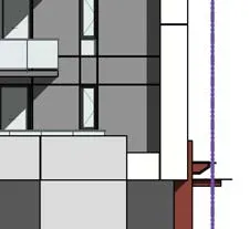
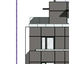
West Elevation A210 showing the building face along Helmcken Road
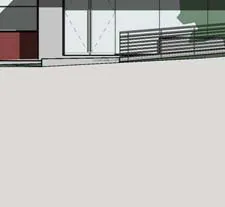
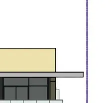
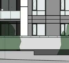
Detail of the West facade showing the residential lobby entrance

North Elevation A220
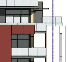
Detail of the North Elevation upper terraces

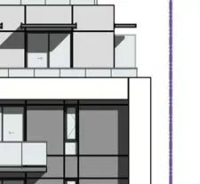
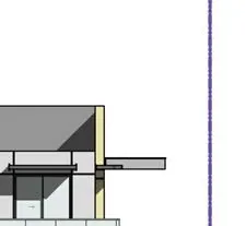
East Elevation A230
Detail of the East facade and parking entrance
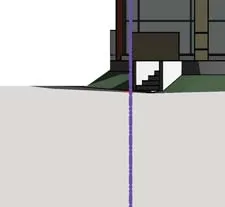
Section 1 (A300) showing the main parking ramp grades and floor-to-floor heights

Section detail of the underground parking levels

Section 2 (A310) through the main stair core and residential units
Section detail of the interior hallway and unit balconies

Section 3 (A320) East-West view through the commercial and parking levels

Section detail of the Level 6 common room and terrace
Section 4 (A330) North-South view showing the mechanical room and storage areas

Section detail of the mechanical penthouse

Section 5 (A340) North-South view through the elevator core

Section detail of the residential elevator lobby

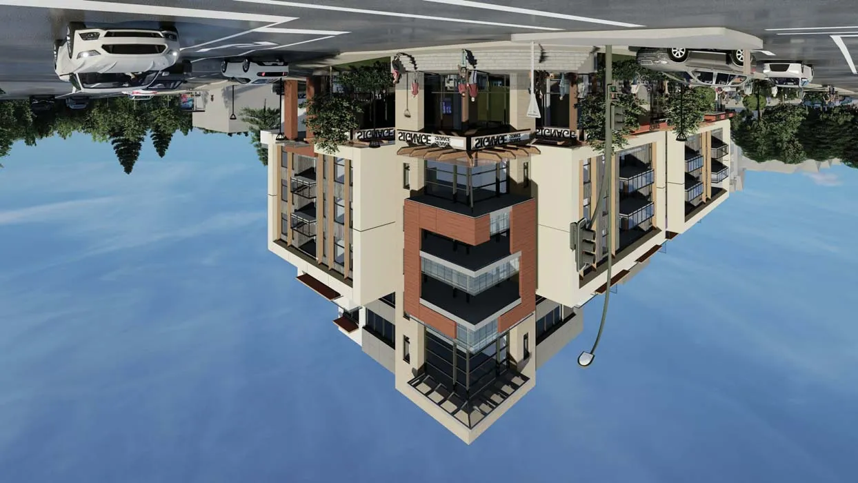
Aerial perspective rendering looking northeast towards the building corner

Perspective rendering showing the building at dusk with illuminated storefronts

Street-level rendering from across Island Highway showing pedestrian activity

Perspective rendering from Helmcken Road showing the residential lobby entrance

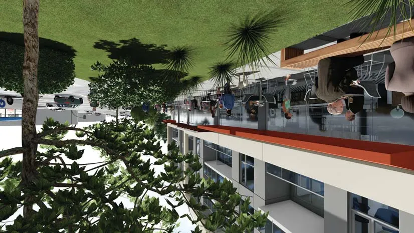
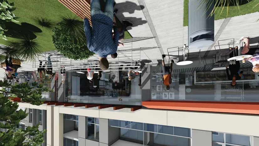
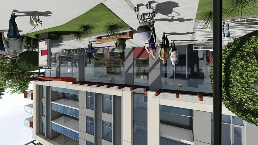
Close-up rendering of the outdoor café seating area at the commercial corner

Rendering of the pedestrian walkway and accessible ramp along the commercial frontage

Detail rendering of the building's street-level architectural finishes

Rendering showing the interaction between the building and the public sidewalk
Level 1 Area Plan A810

Color-coded area legend for Level 1

Level 2 Area Plan A820

Level 2 unit area breakdown table
Level 3 Area Plan A830

Level 3 unit area breakdown table
Level 4 Area Plan A840

Level 4 unit area breakdown table

Level 5 Area Plan A850

Level 5 unit area breakdown table
Level 6 Area Plan A860

Level 6 unit area breakdown table
Final Total Floor Area Summary Table: 4,850.15 m²