Attachment 6 - PRELIMINARY SITE SERVICING PLAN for 298 Island Highway
Engineering drawing showing water, sewer, and drain services for the site.
298 Old Island Highway Preliminary Site Servicing Plan
Sheet Notes
- CRD crews to cap and abandon existing water service at developers expense.
- CRD crews to install water service complete with water meter at developers expense.
- Town of View Royal crews to cap and abandon existing sewer and drain services at developers expense.
- Town of View Royal crews to install sewer and drain service at developers expense.
- Contractor to construct 6.0m driveways complete with 2.0m flares as per Town of View Royal standards.
- Contractor to remove existing tree. See arborist report.
- Contractor to relocate existing 150Ø sewer main to centerline of existing sewer right of way complete with new sewer services and inspection chambers, and manholes.
Site Servicing Plan
The plan details the servicing for the property at the intersection of Helmcken Road and Island Highway. Key features illustrated include:
- Site Limit: Shaded area indicating the property boundaries for development.
- Existing Building (to be demolished): Footprint of the existing structure.
- Proposed Building Extents: Outlined footprint of the new development.
- Utilities: Locations for sanitary sewer rights-of-way, proposed sewer services, and water lines.
- Infrastructure: A 2.0m sidewalk and proposed tree locations along the perimeter.
- Survey Data: Traverse hub location with an elevation of 23.63m and existing retaining walls.
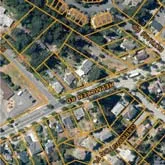
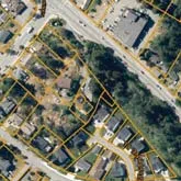
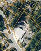
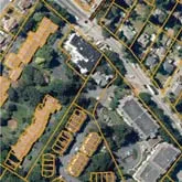
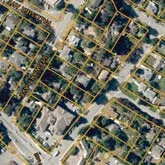
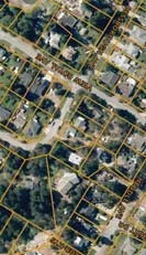
Key Plan
- Legal Description: Lot 1, Section 8, Esquimalt District, Plan 35505
- Benchmark: Traverse Hub #526, Elev. 23.63m
Project Information
- Address: 298 Old Island Highway
- Engineering Project No.: 32668
- Scale:
- Horizontal: 1:200
- Vertical: N/A
- Sheet: 1 of 1
- Firm: J E Anderson & Associates (Surveyors - Engineers)
- Offices: Victoria, Nanaimo, Parksville, Campbell River
- Contact: 250-727-2214 | info@jeanderson.com
- Status: Preliminary Only
Document Images
(29)
Site plan detail showing property layout

Detail of site utility symbols and lines

Detail of the upper portion of the site plan

Detail of the top-left corner showing Helmcken Road

Detail of the central site area

Detail of the top-right site corner

Detail of the bottom-left corner showing Island Highway

Detail of the bottom central portion of the plan

Detail of the bottom-right corner of the plan
Detail of survey markers on plan
Detail of site symbols
Detail of sidewalk and building line

Detail of site boundary line

Detail of traverse hub location

Detail of building corner on plan

Aerial key plan detail

Aerial key plan detail

Aerial key plan detail

Aerial key plan detail

Aerial key plan detail

Aerial key plan detail

Aerial key plan detail

Aerial key plan detail

Aerial key plan detail

Aerial key plan detail
Aerial key plan detail
Aerial key plan detail
Aerial key plan detail
